Shasta via Avalanche Gulch
Mount Shasta Via Avalanche Gulch First Time Unguided
Having previously summitted Mount Shasta via the Clear Creek route, I’d long had my sights set on the classic snow climb up Avalanche Gulch. Experiencing the mountain from a completely different angle—and on steep snow—was a challenge I couldn't resist, especially during 2023’s record-breaking winter.
When I floated the idea to my outdoors community (one I made for fun on facebook), interest built quickly. While Avalanche Gulch is often dubbed a "beginner" mountaineering route, it still demands solid fitness, backpacking experience, and a steady, efficient pace. Although I wasn’t acting as a guide, I felt a deep responsibility for our team's safety. To set us all up for success, I established a few clear prerequisites before anyone signed on.
Setting Up for Success: Non-Guided Group Dynamics & Benchmarks
Climbing as an unguided group of peers relies heavily on shared accountability, clear communication, and personal responsibility. We climb together as a team with contingency plans in place, but on a non-guided objective, every individual is ultimately responsible for their own safety and decision-making.
When opening the trip to our community, I set three non-negotiable physical benchmarks before stepping onto the snow:
Overnight Backpacking Experience: Essential for managing heavy packs, camping on snow at high altitude (Lake Helen, ~10,400 ft), and maintaining cold-weather self-care under fatigue.
Proven 10+ Hour Endurance: Summit day on Shasta requires massive physical and mental grit over long, relentless hours on your feet.
Vertical Ascent Rate of 1,000 ft/hr: Moving efficiently ensures the group stays ahead of the warming afternoon sun, softening snow, and shifting mountain weather.
Beyond physical fitness, I wanted to dedicated time at high camp to snow school—demonstration of ice axe self-arrest, crampon footwork, glissading and gear usage so everyone felt confident on steep terrain before our summit push.
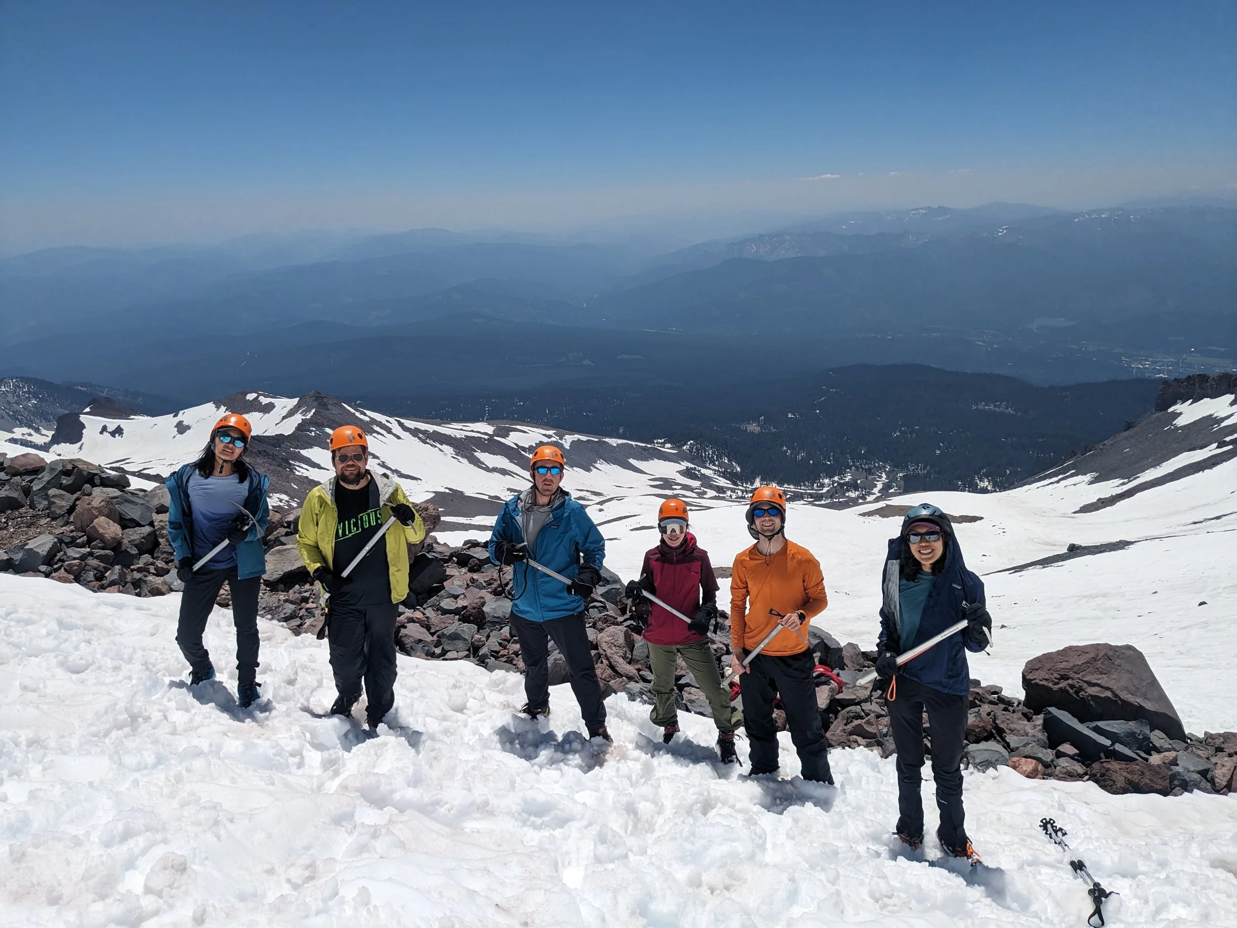
If we all summitted, it would have been Namuun and Shea’s first 14er, and Bonnie, Tanner and Mike’s first mountaineering ascent.
The Decision Window & Conditions Tracking
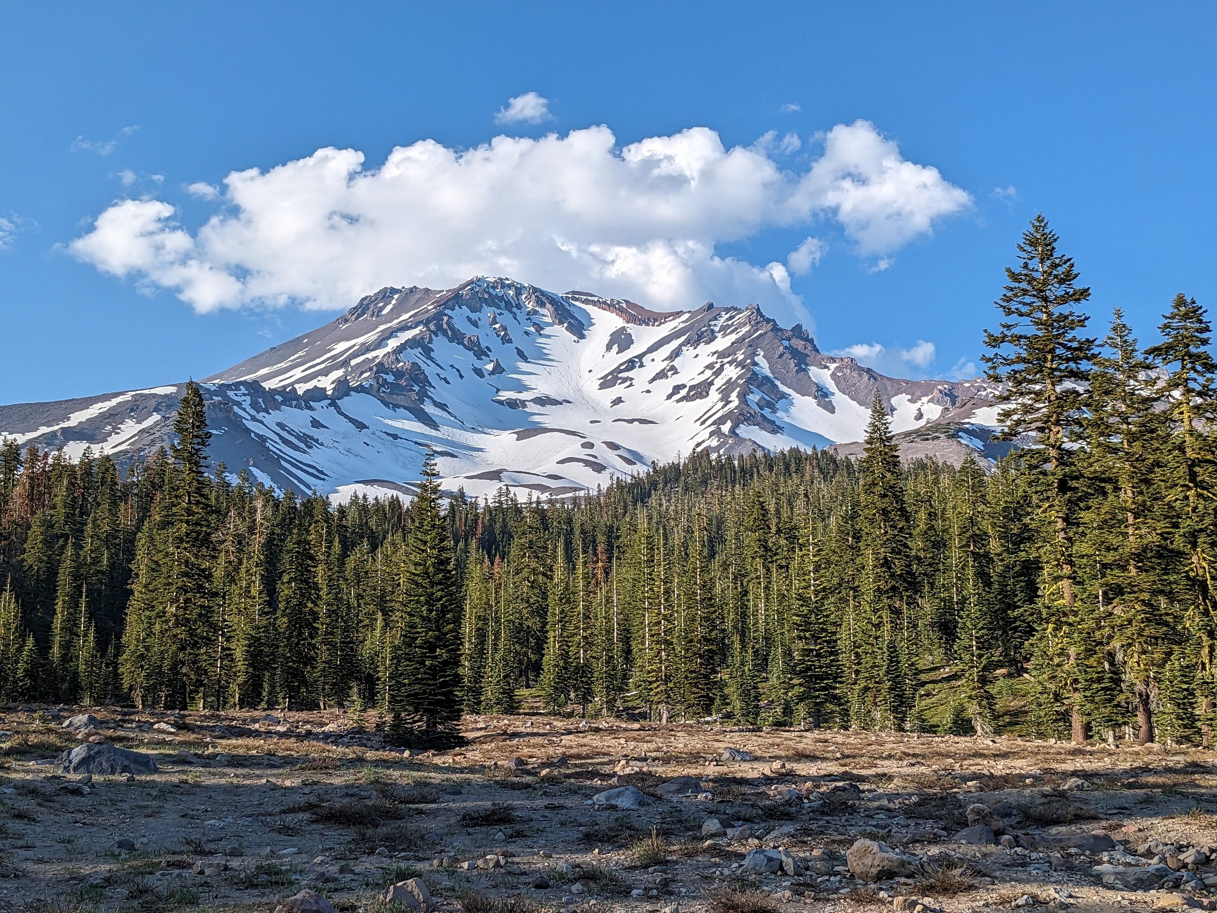
Mountaineering routes like Avalanche Gulch require patience and flexibility. From Monday through Thursday (June 26–29), we closely monitored avalanche advisories, high-camp snowpack, and weather windows. By Thursday afternoon, conditions aligned nicely, giving us the green light to head out.
One of the great aspects of climbing Shasta is the hassle-free permit system: there are no quota limits or advance lotteries for Avalanche Gulch. We self-registered our $25 Mount Shasta Summit Passes right at the trailhead kiosk before setting off.
The 3-Day Itinerary
Day 0 (Saturday, July 1): Travel & Car Camp at Bunny Flat (6,500 ft)
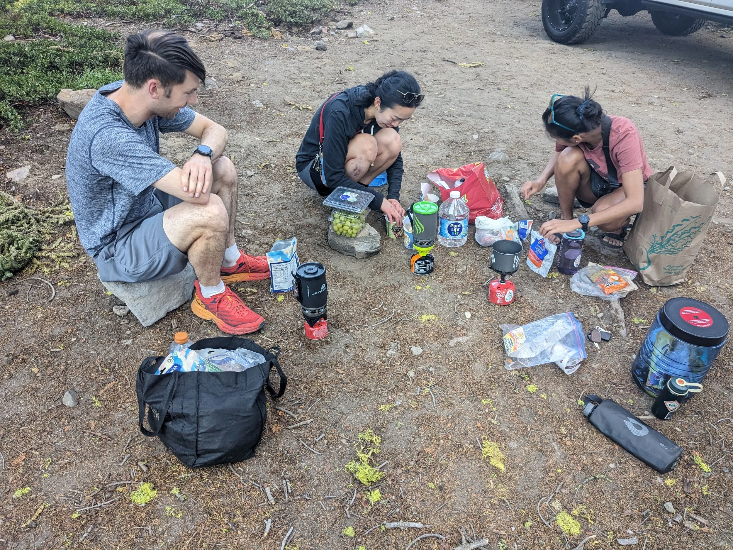
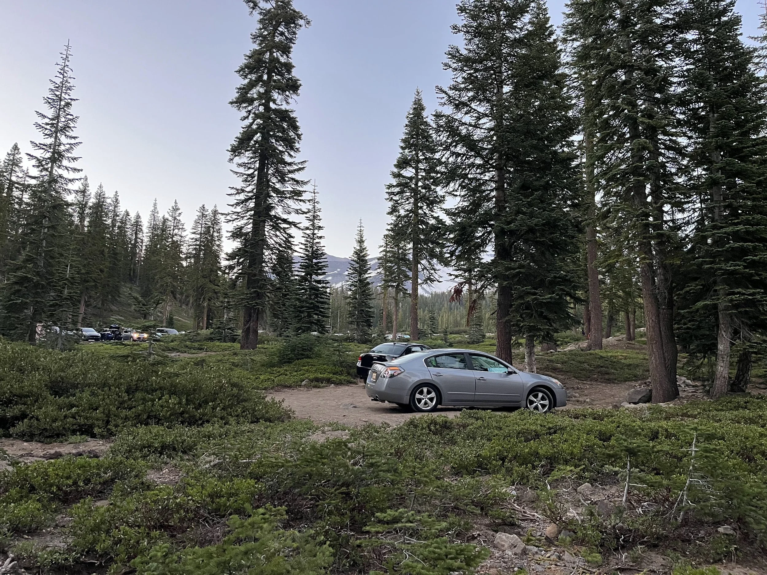
We drove out to Mount Shasta National Forest and set up camp at the Bunny Flat trailhead (6,500 ft). Car camping allowed us to get a jump on acclimation, organize collective gear, and prep for an early start the next morning.
Day 1: The Haul to High Camp (Lake Helen)
The Stats:
Trailhead: Bunny Flat (6,950 ft)
Destination: Lake Helen (10,400 ft)
Distance: ~4 miles
Elevation Gain: ~3,500 ft
Time: 6:45 AM – 11:15 AM (4.5 hours elapsed)
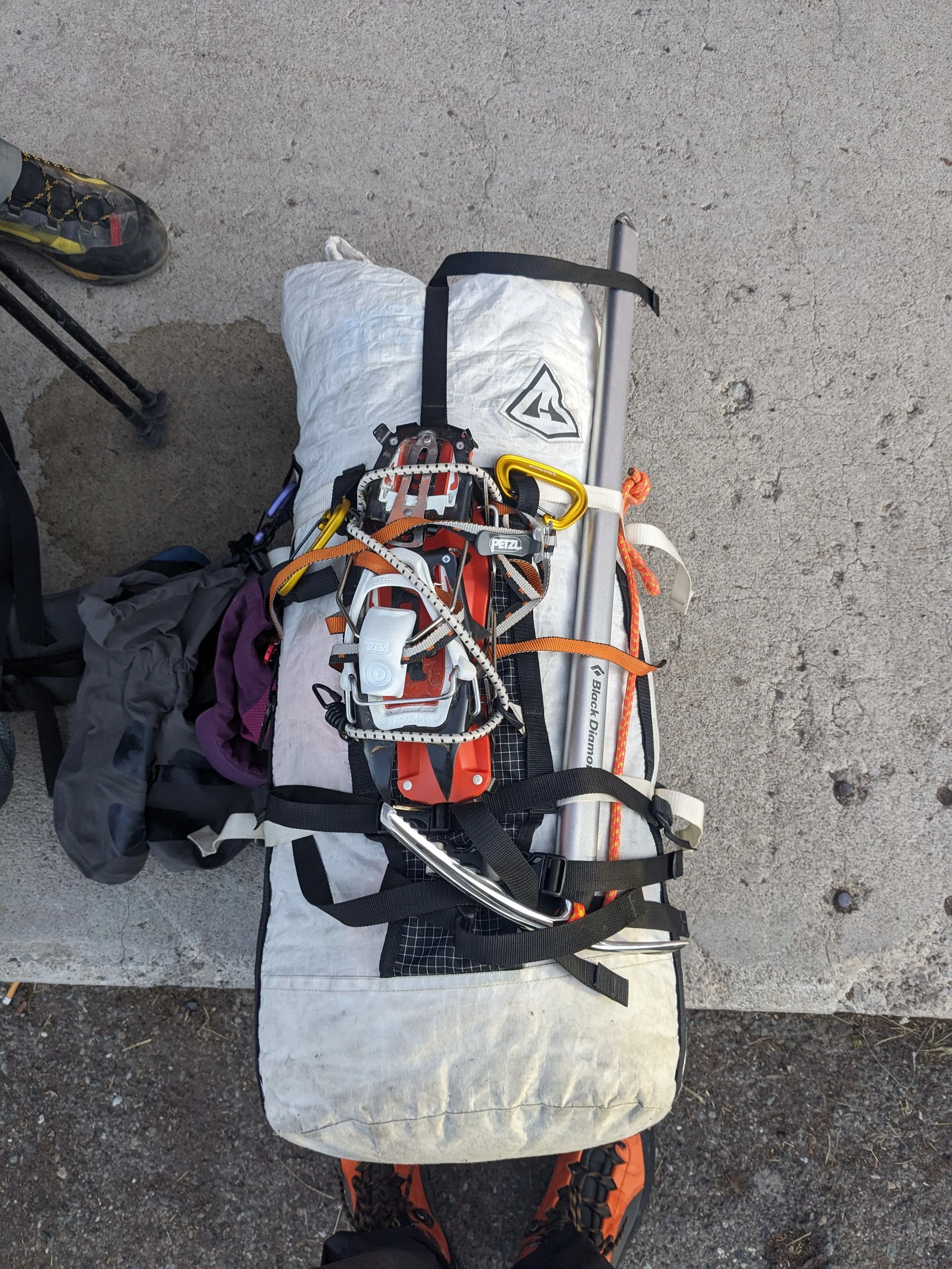
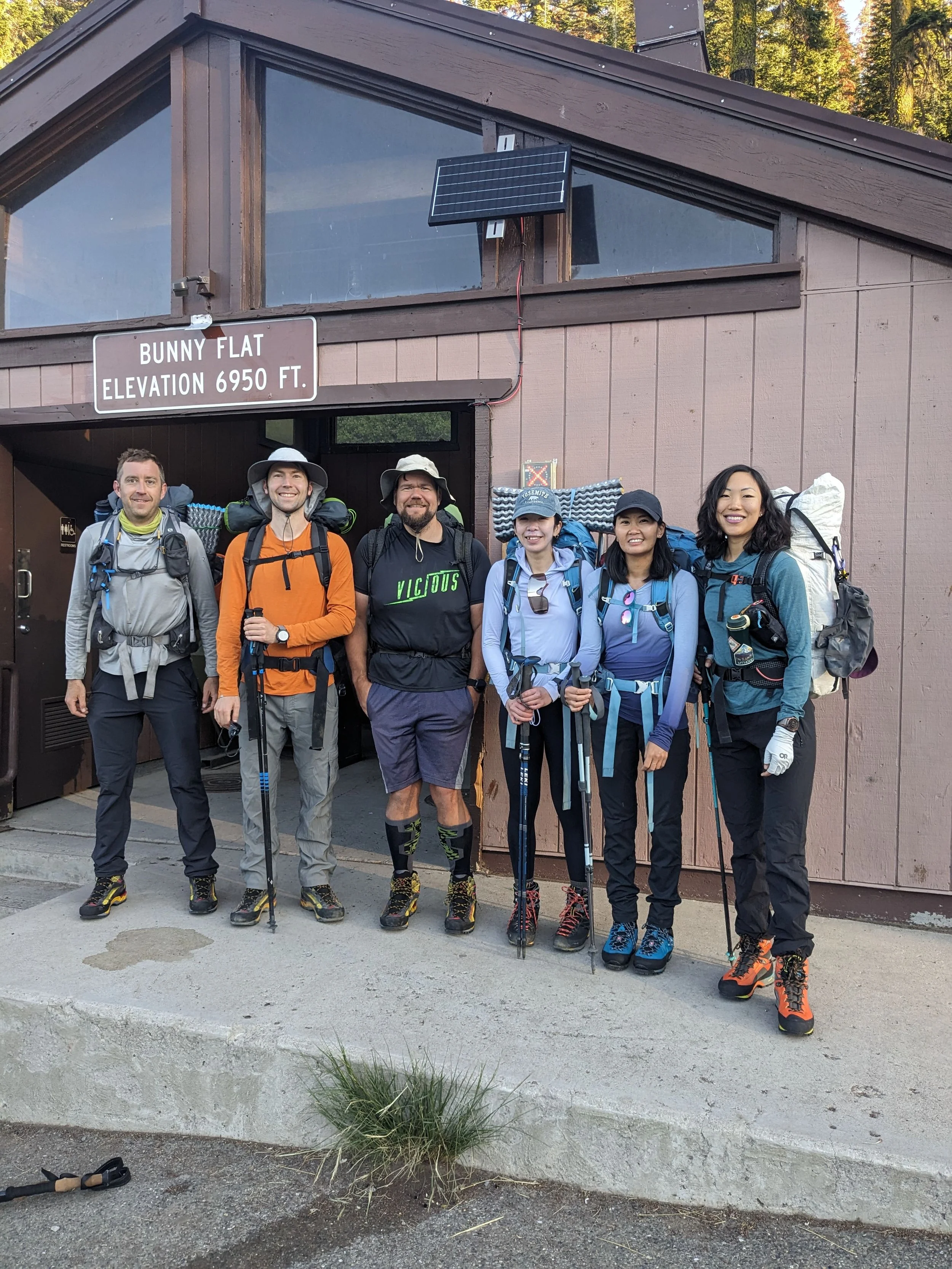
6:45 AM. Boots on the ground at Bunny Flat Trailhead (6,950 ft). Fresh morning air, full packs loaded with overnight gear and snow pickets, and 14,179 feet of Shasta towering overhead.
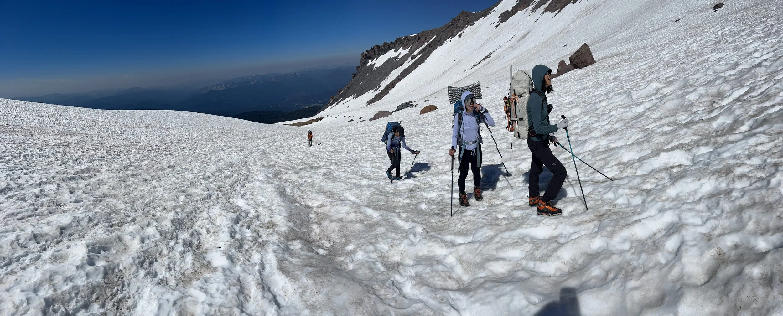
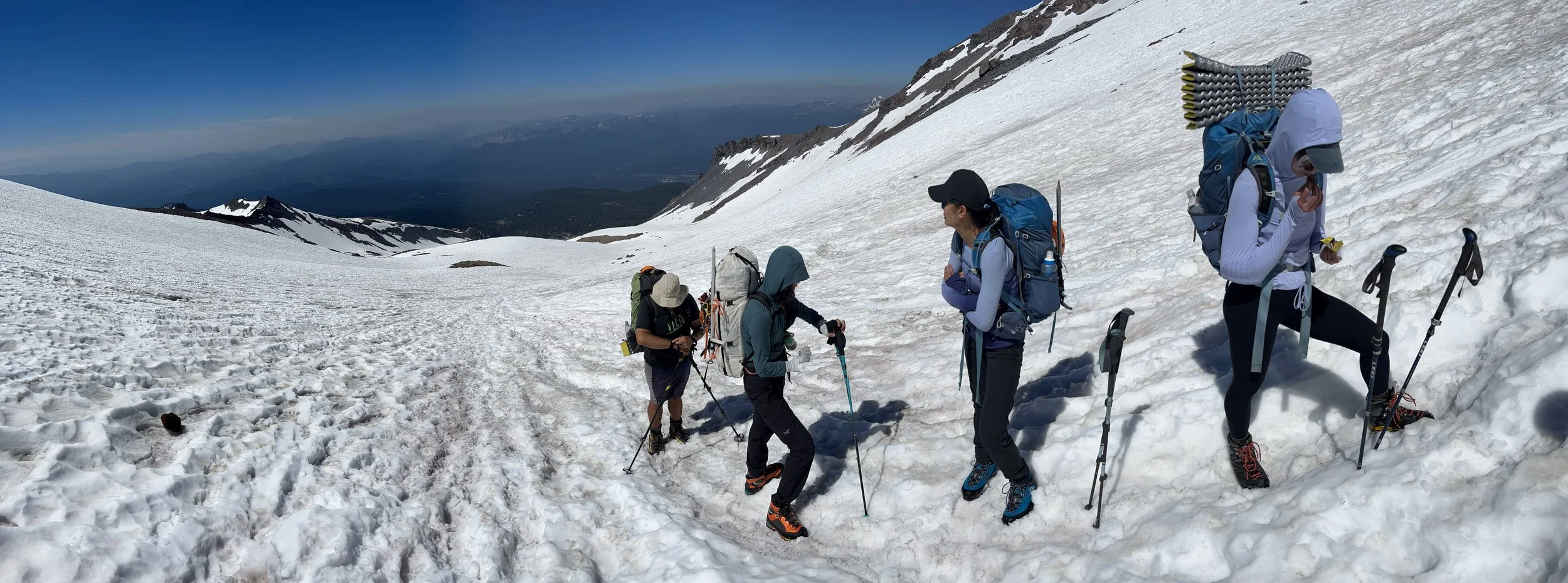
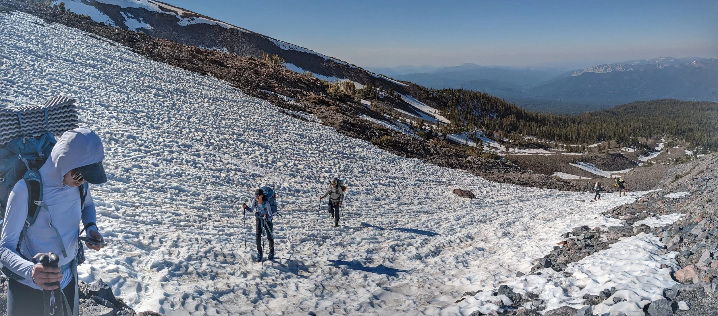
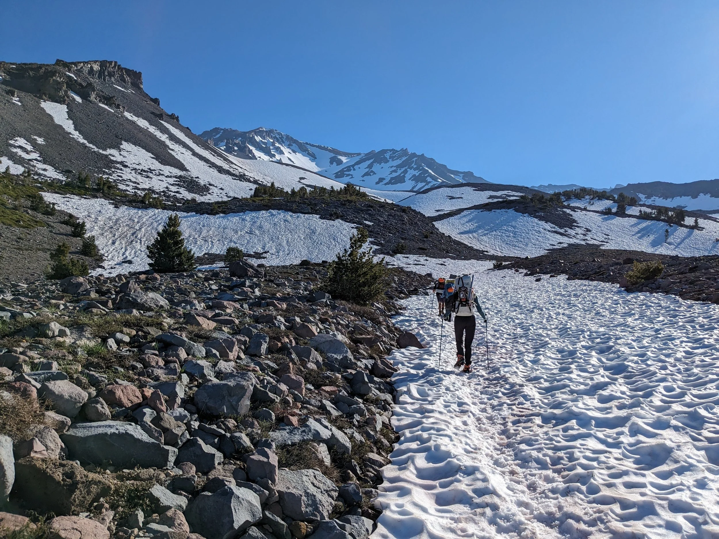
The push up to Lake Helen isn't long on paper—just 4 miles—but gaining 3,500 feet with overnight packs converts every mile into a slow, deliberate rhythm. From the subalpine trees around Horse Camp to the open snowfields of Avalanche Gulch, it was all about finding a steady cadence and managing heat as the sun hit the snow.
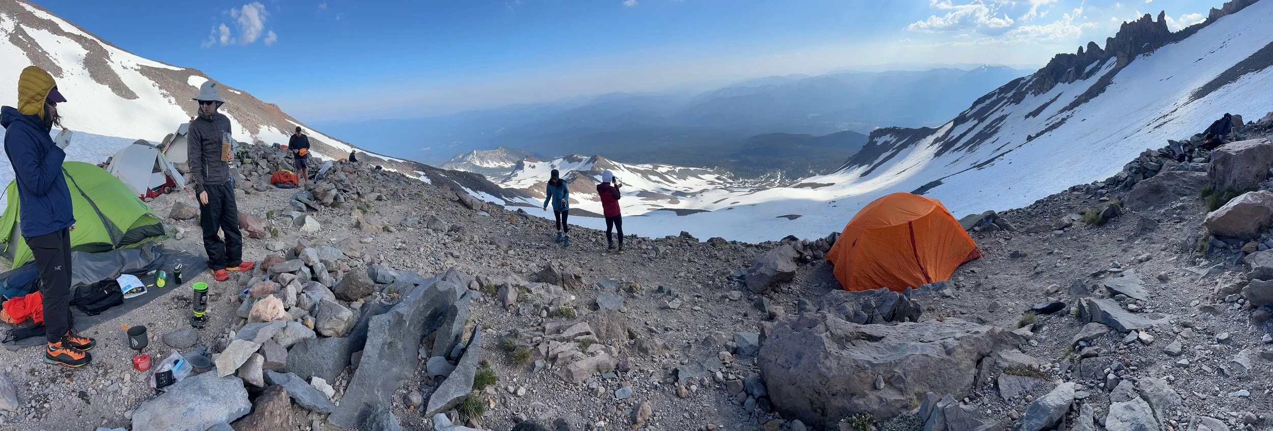
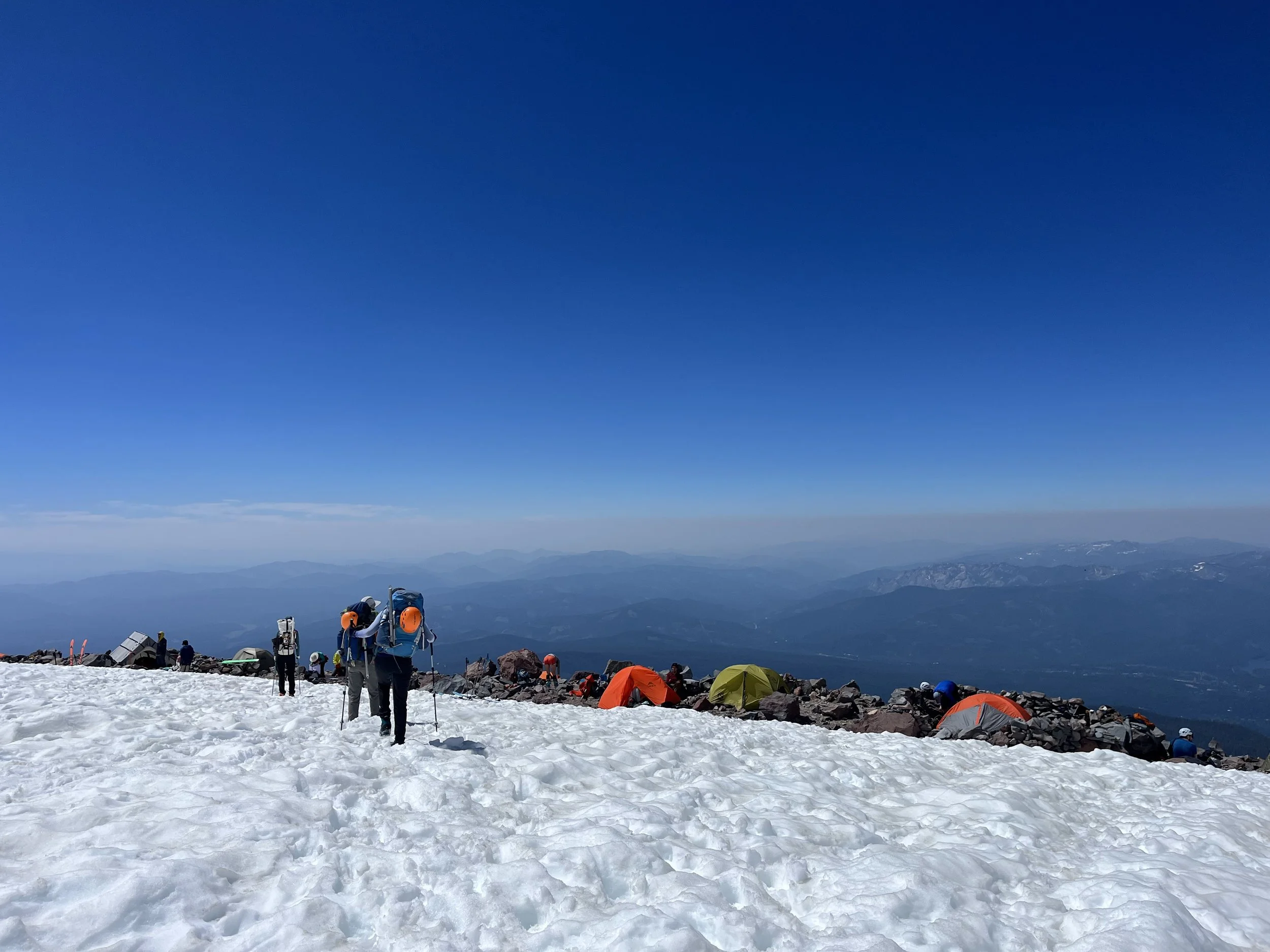
11:15 AM (4.5 hours in). Welcome to High Camp! Reached Lake Helen at 10,400 feet right on schedule. Time to chop snow platforms, pitch tents, melt snow for water, snow school, and rest up before the midnight alpine start.
Pro Tip to mention: Moving early from Bunny Flat helps beat the mid-day sun reflecting off Avalanche Gulch, keeping snow conditions firmer for step-kicking and preventing slushy post-holing.
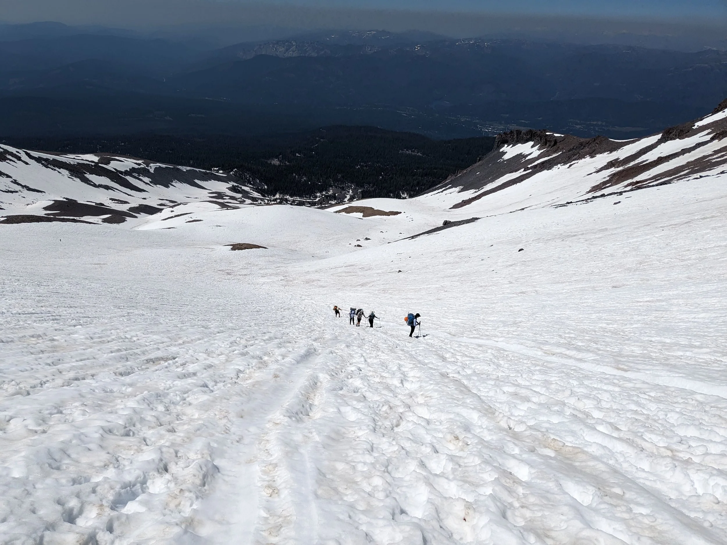
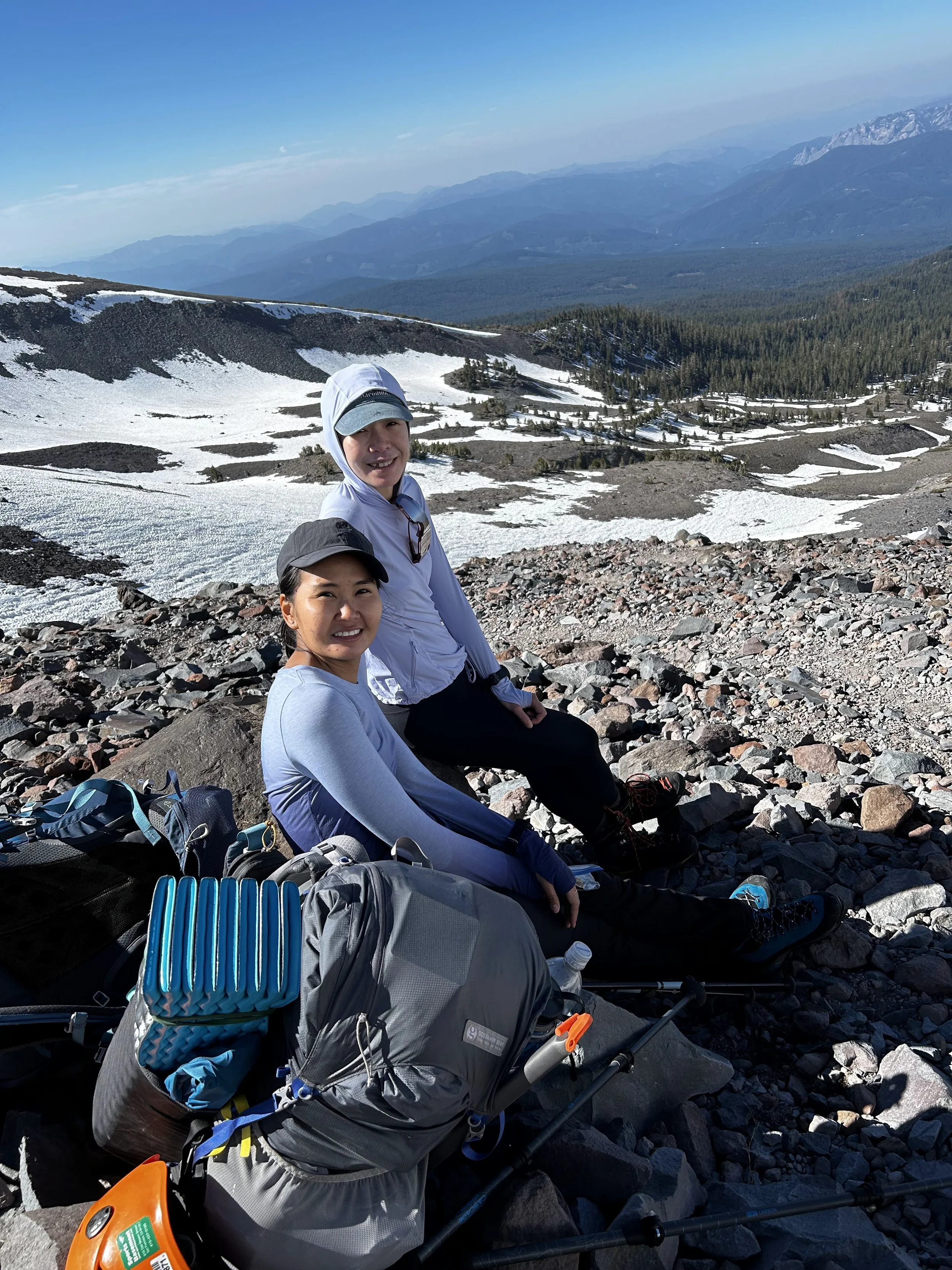
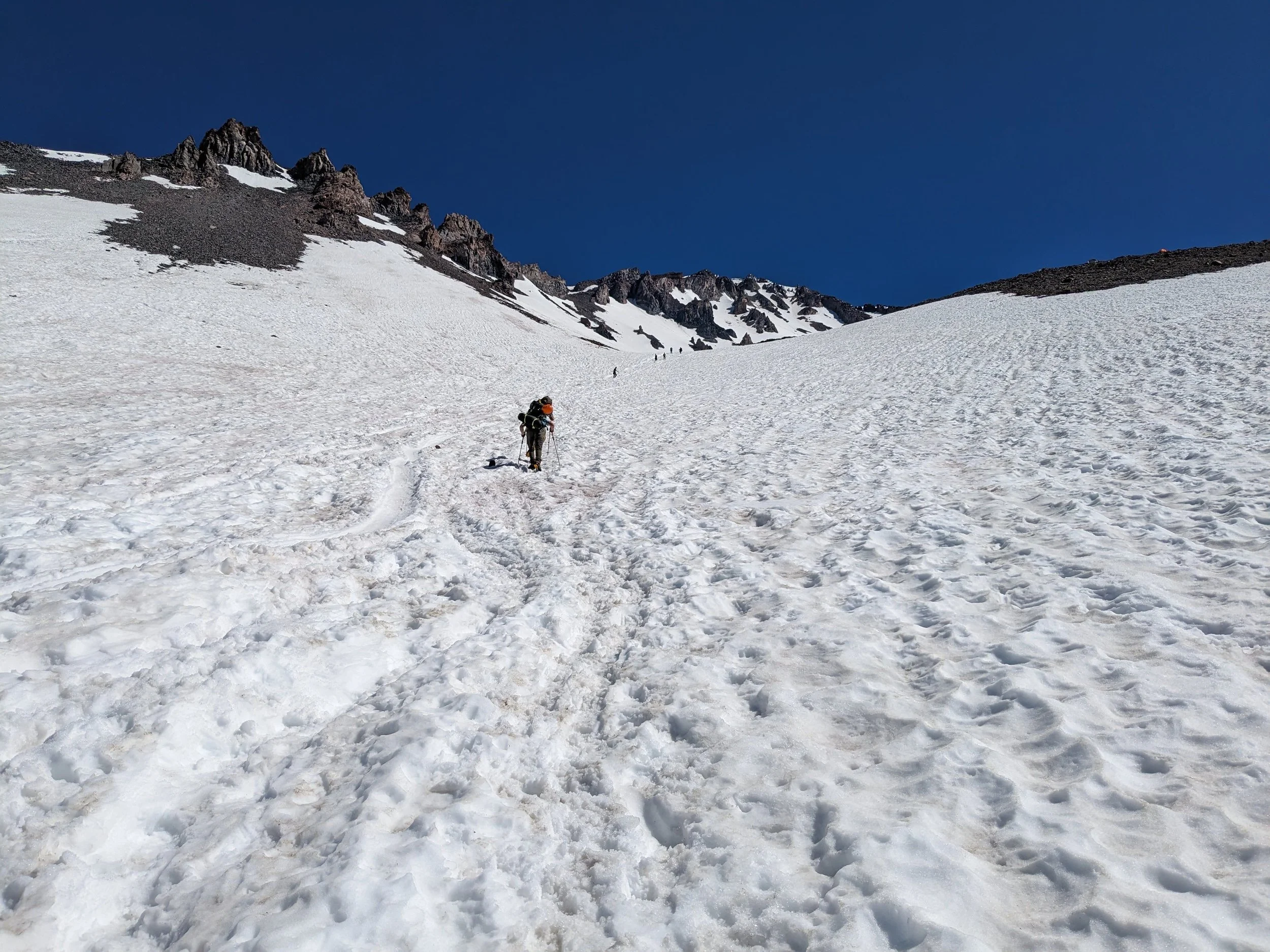
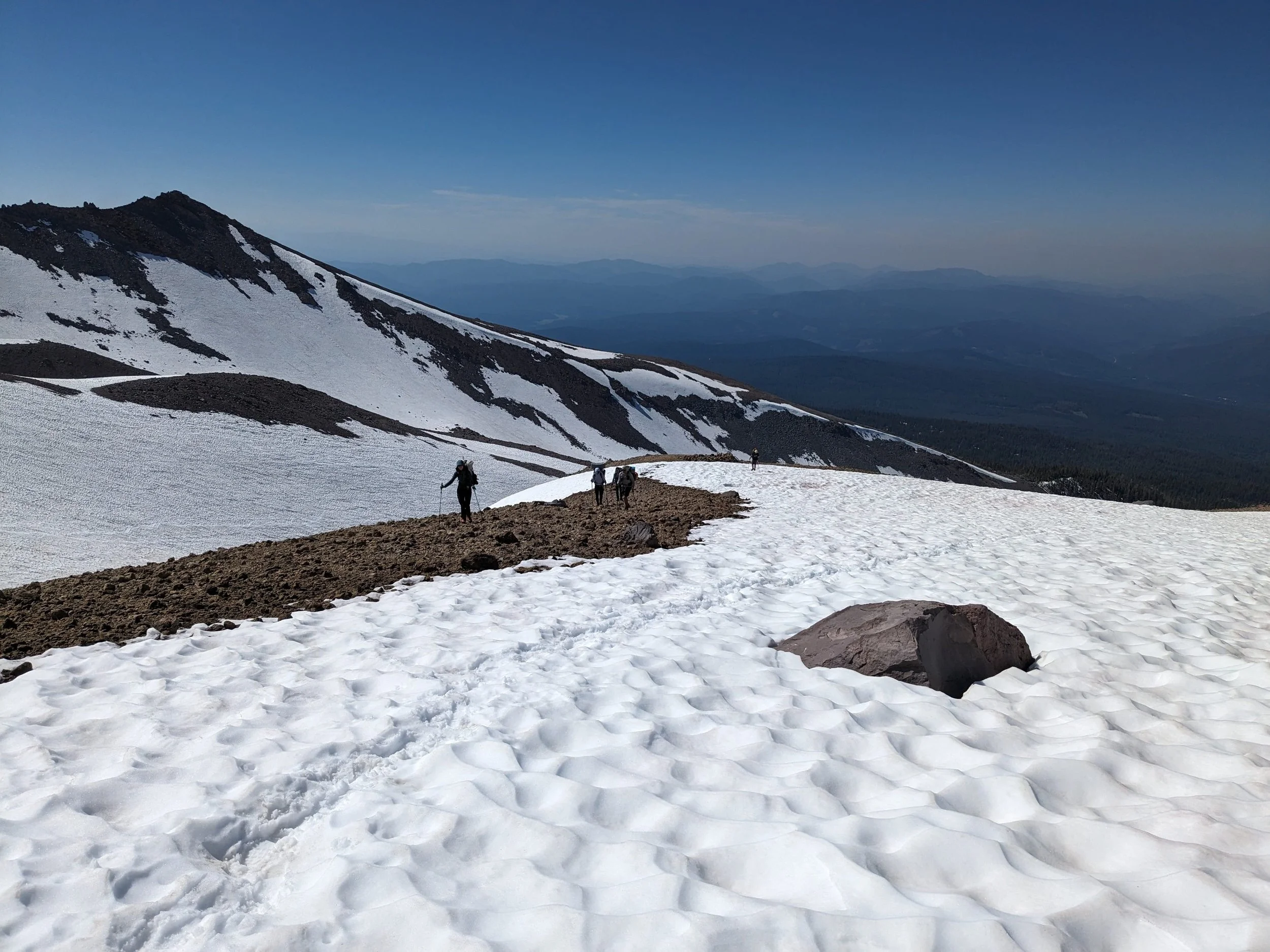
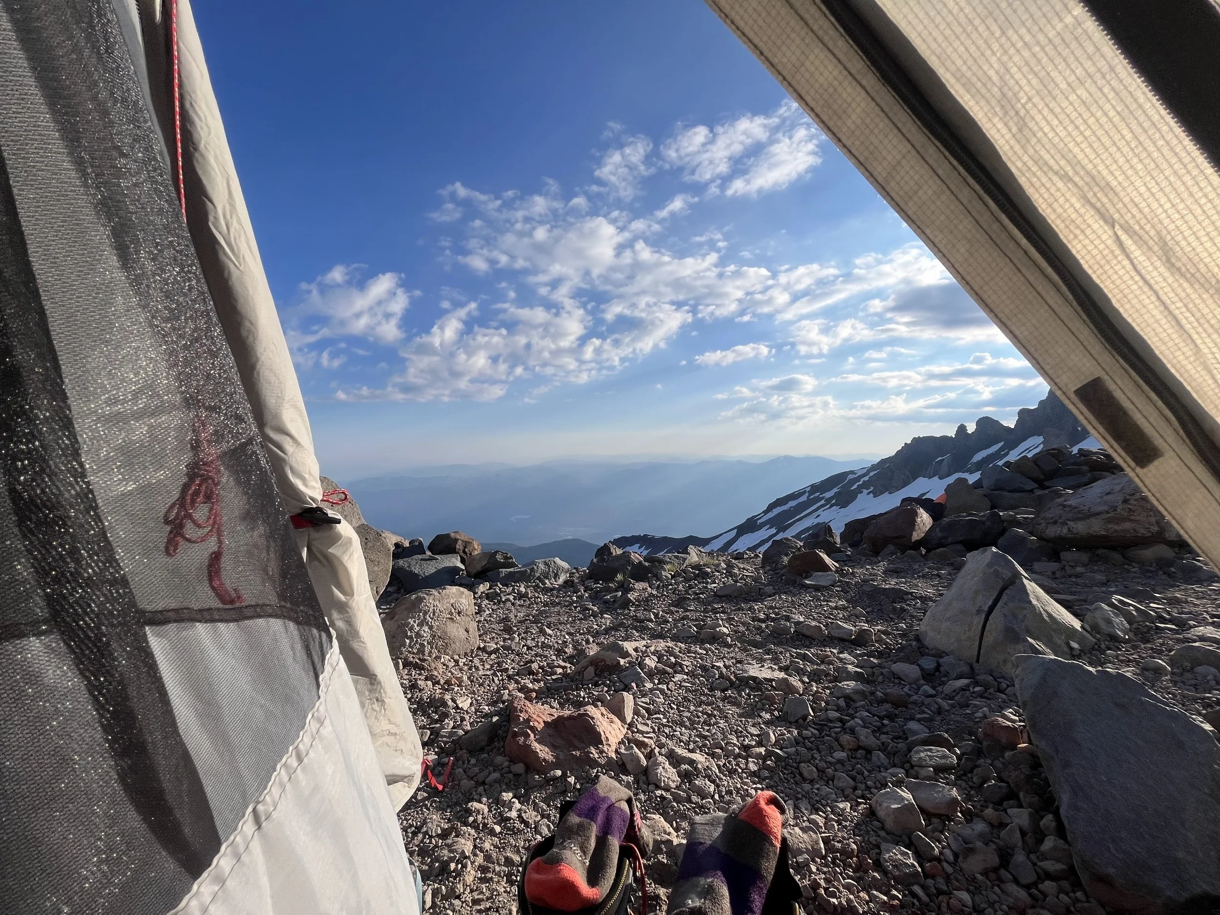
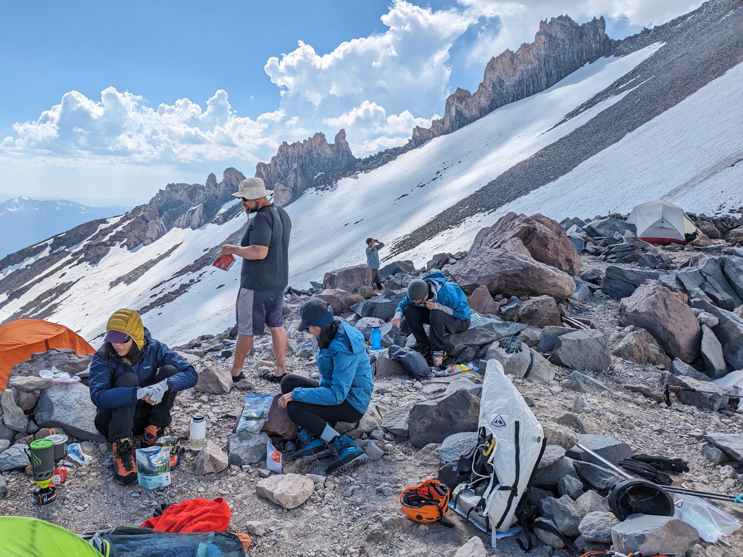
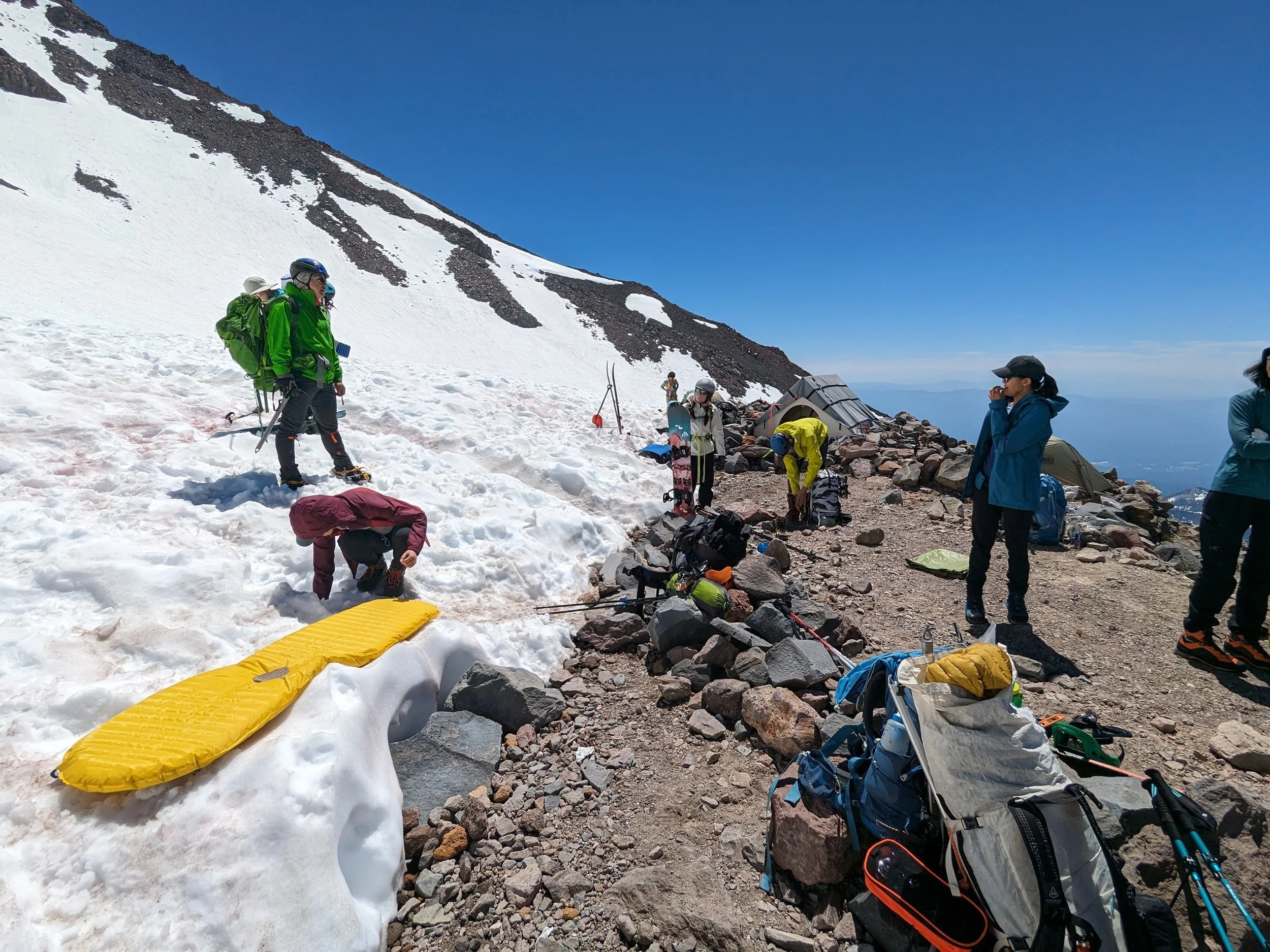
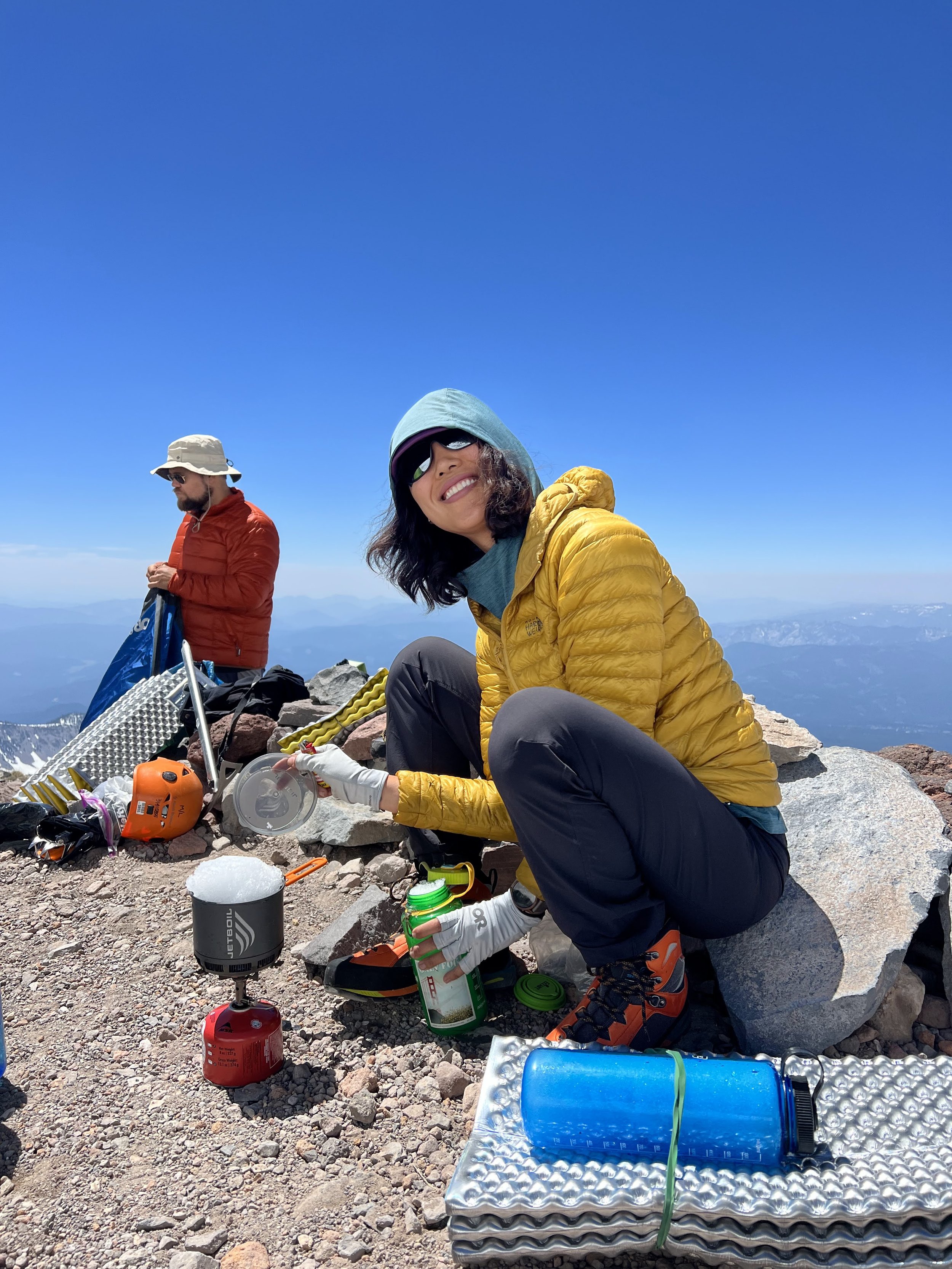
Snow School
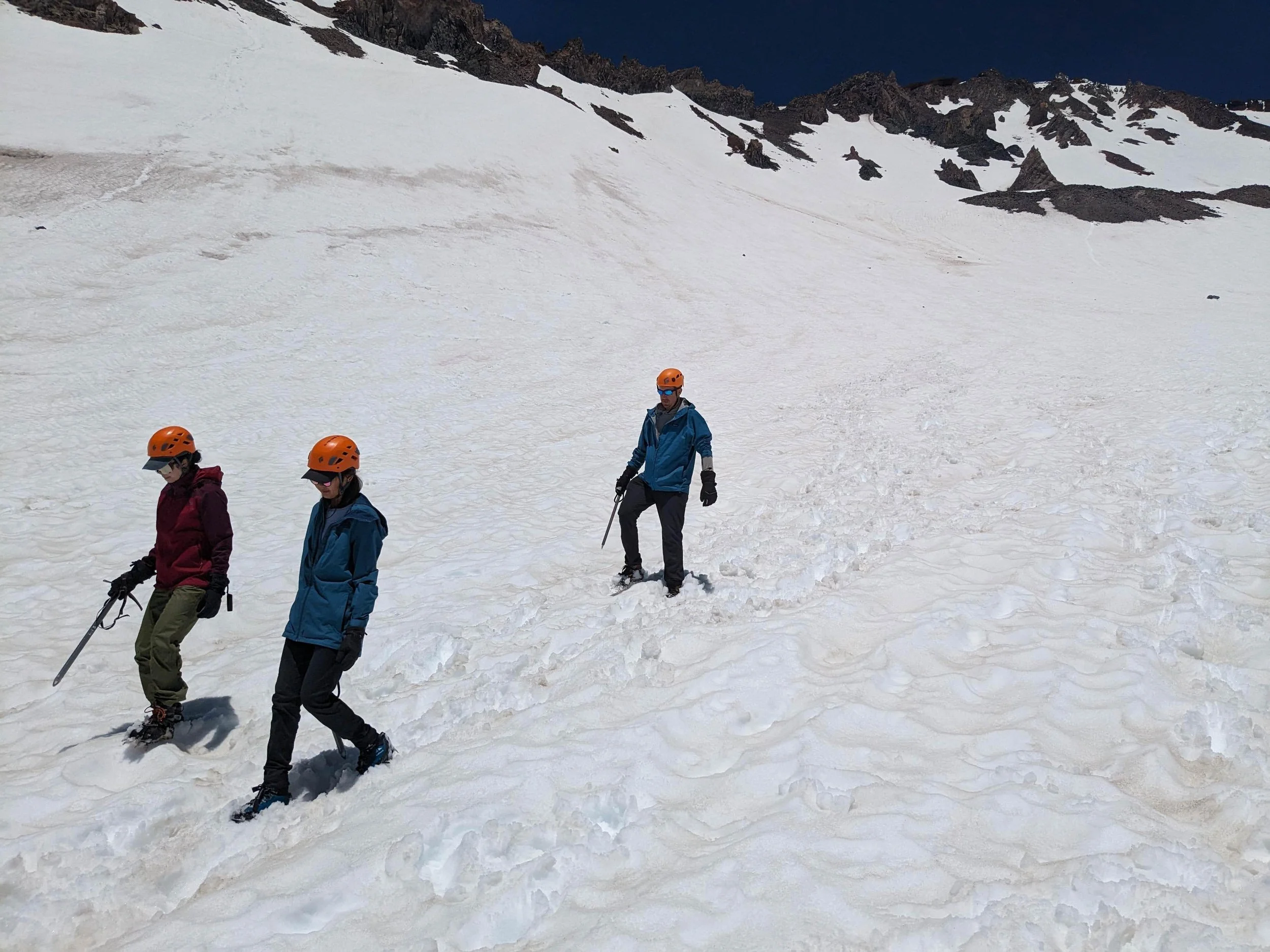
It was a beautiful day on the mountain, with the afternoon ahead of us - we were able to get the tents down and melt water well in advance of bedtime. In the afternoon, the 6 of us went to a snowfield nearby for snow school. While I am not a guide or instructor, I know enough about the basics to share the knowledge.
What We Covered:
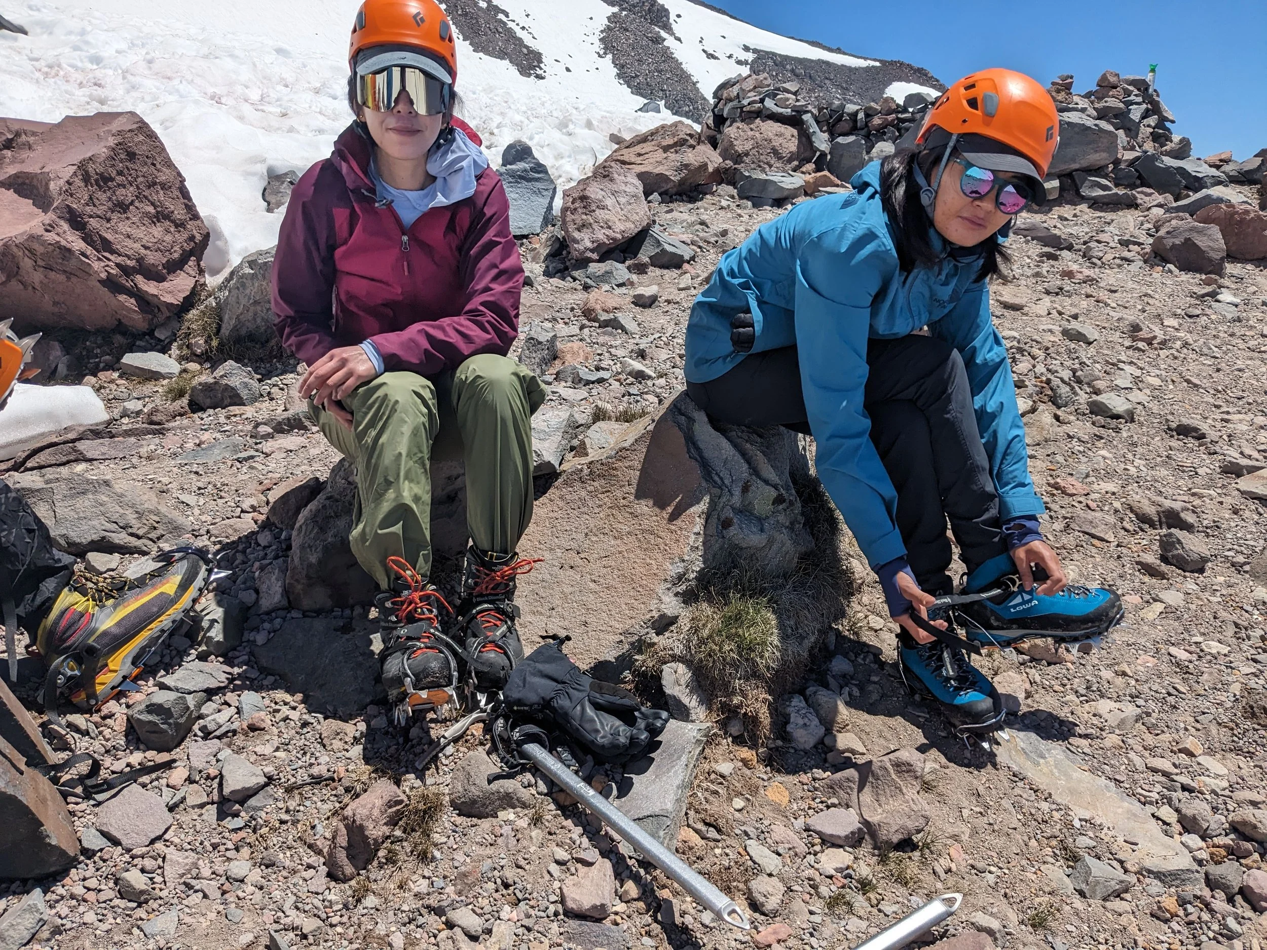
Crampon Technique & Footwork: Practicing flat-footing (French technique) on lower-angle snow to conserve calf energy, transitioning to splayed duck-walking, and front-pointing on steeper sections.
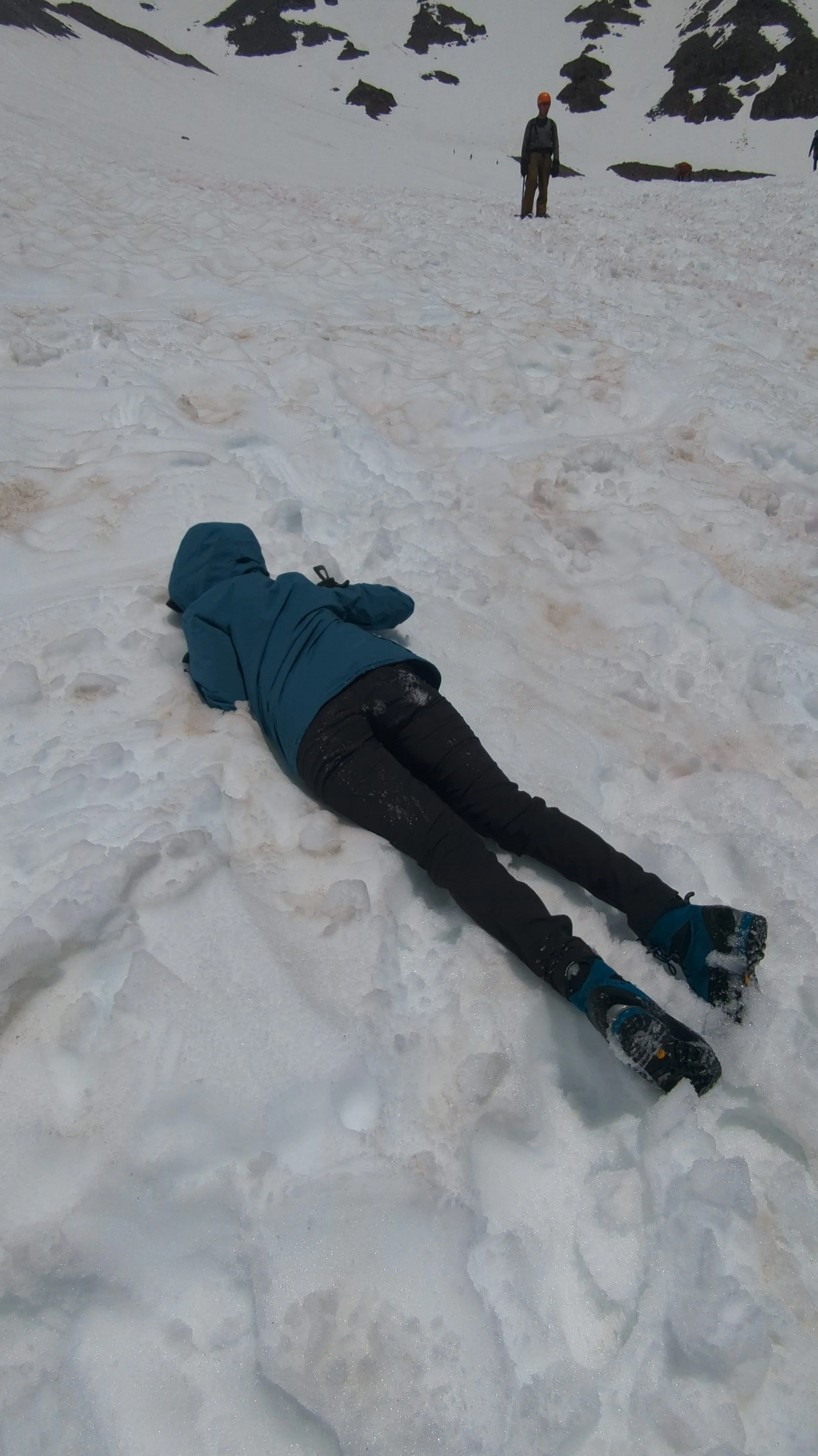
Ice Axe Discipline & Self-Arrest: We reviewed proper tool hand-holds (piolet cane position) and drilled self-arresting from multiple positions—belly-first, back-first, and head-down slope. I also teamed up pairs to make sure they cannot be pulled out of the snow when self-arrested.
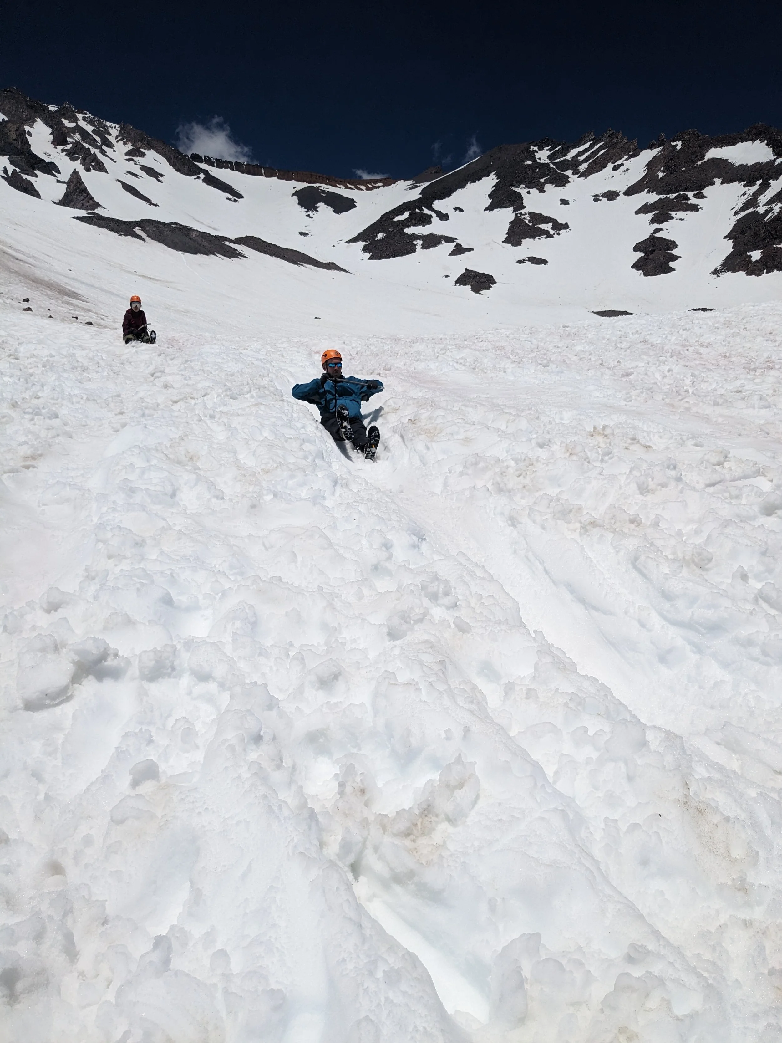
Controlled Glissading & Slide Safety: Glissading down Avalanche Gulch is definitely possible, but it’s also where many injuries happen. We practiced seated glissade positioning, using the ice axe adze/pick as a rudder to control speed, and self-arresting mid-slide.
The Cardinal Rule: Crampons off before your rear hits the snow—period. Leaving crampons on while glissading is the number one cause of snapped ankles and flipped glissaders when a spike catches firm snow.
Gulch Hazards & Communication: Avalanche Gulch acts as a natural bowling alley for falling ice and rock as the sun warms the upper cliffs. We established clear vocal calls ("ROCK!", "ICE!") and distance spacing so everyone felt empowered to speak up if conditions shifted.
With gear organized, crampons fitted to boots, and self-arrest fresh in our minds, we hit our sleeping bags by 6:00 PM for a few hours of restless high-altitude sleep.
Day 2: The Summit Push and back down to TH
The Stats:
Starting Point: Lake Helen (10,400 ft)
Summit Elevation: 14,180ft
Distance: 10 miles: 3 miles one way, then 7 miles down
Elevation Gain: ~3,700 ft
Time: 1:00 AM – 1:00 PM (12 hours until camp) then 3 hours down.
Sections: The headwall, red banks, and misery hill.
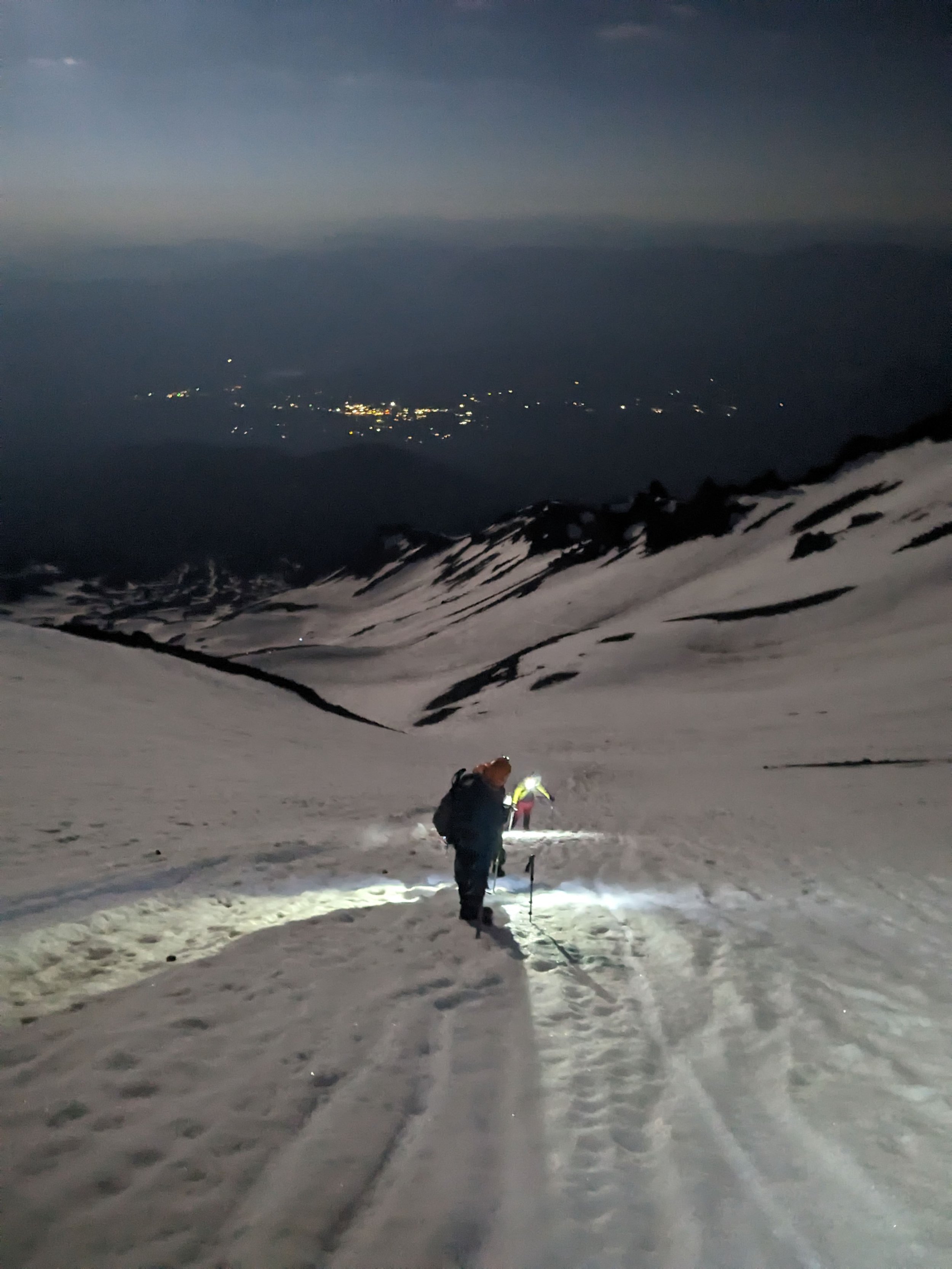
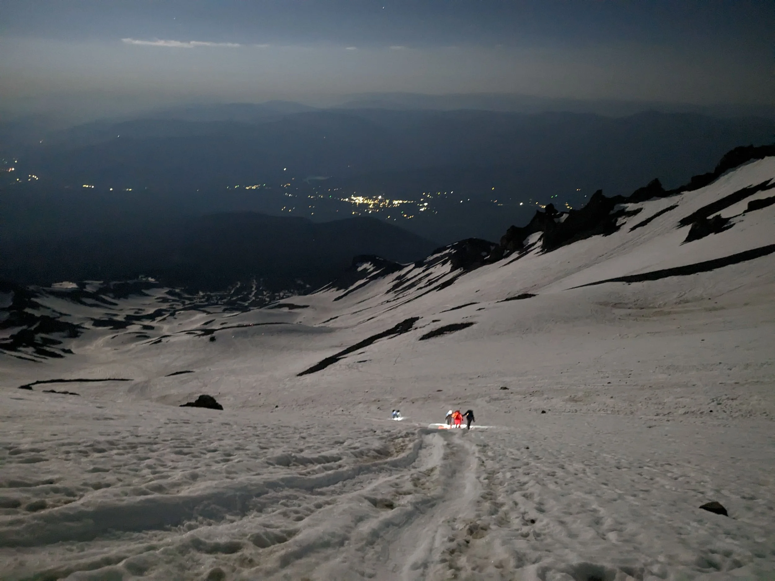
1. The Headwall & The Heart (10,440 ft to ~12,500 ft)
The Pitch: Immediately out of Lake Helen, the slope steepens to a continuous 30° to 35° incline.
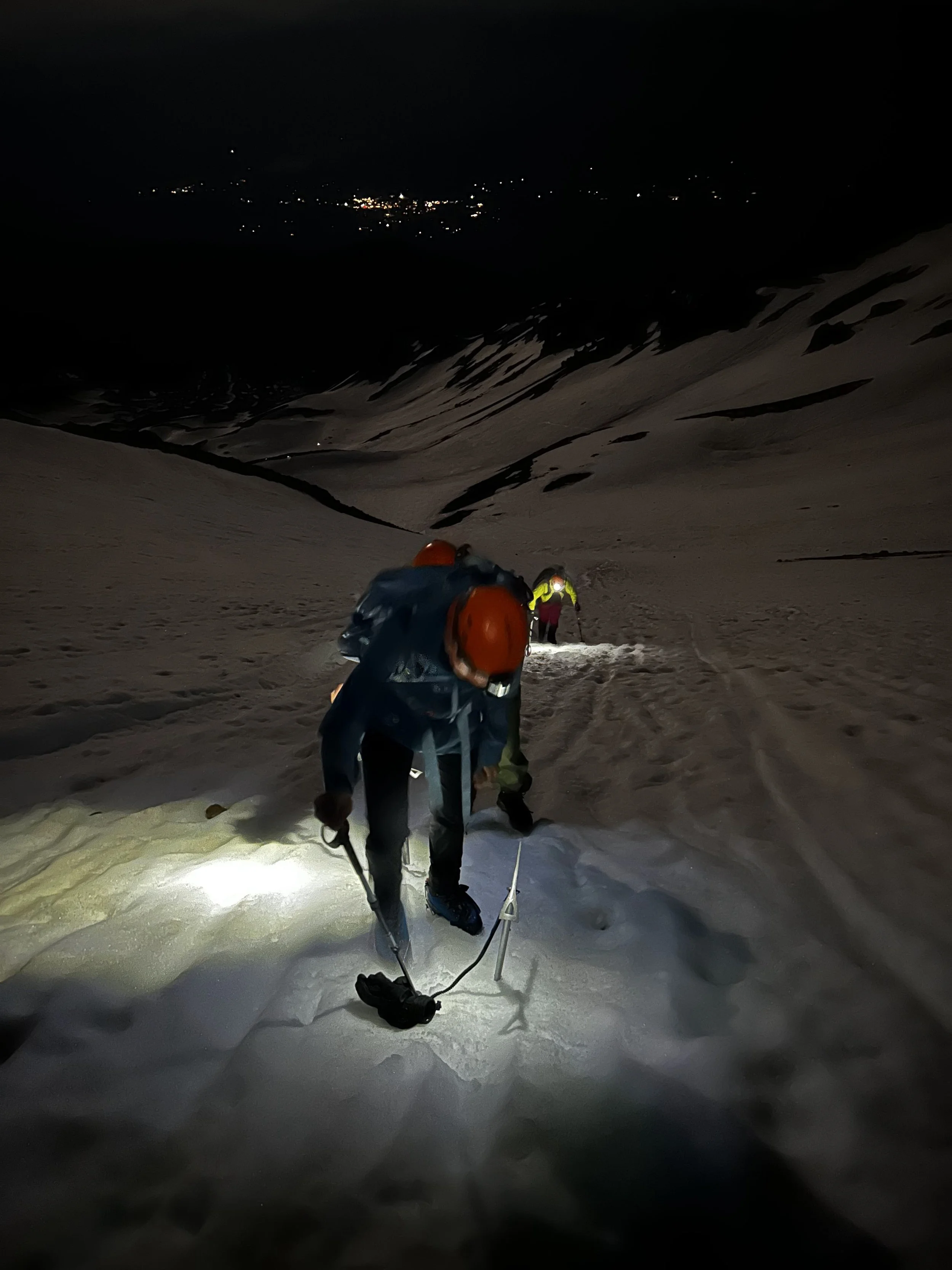
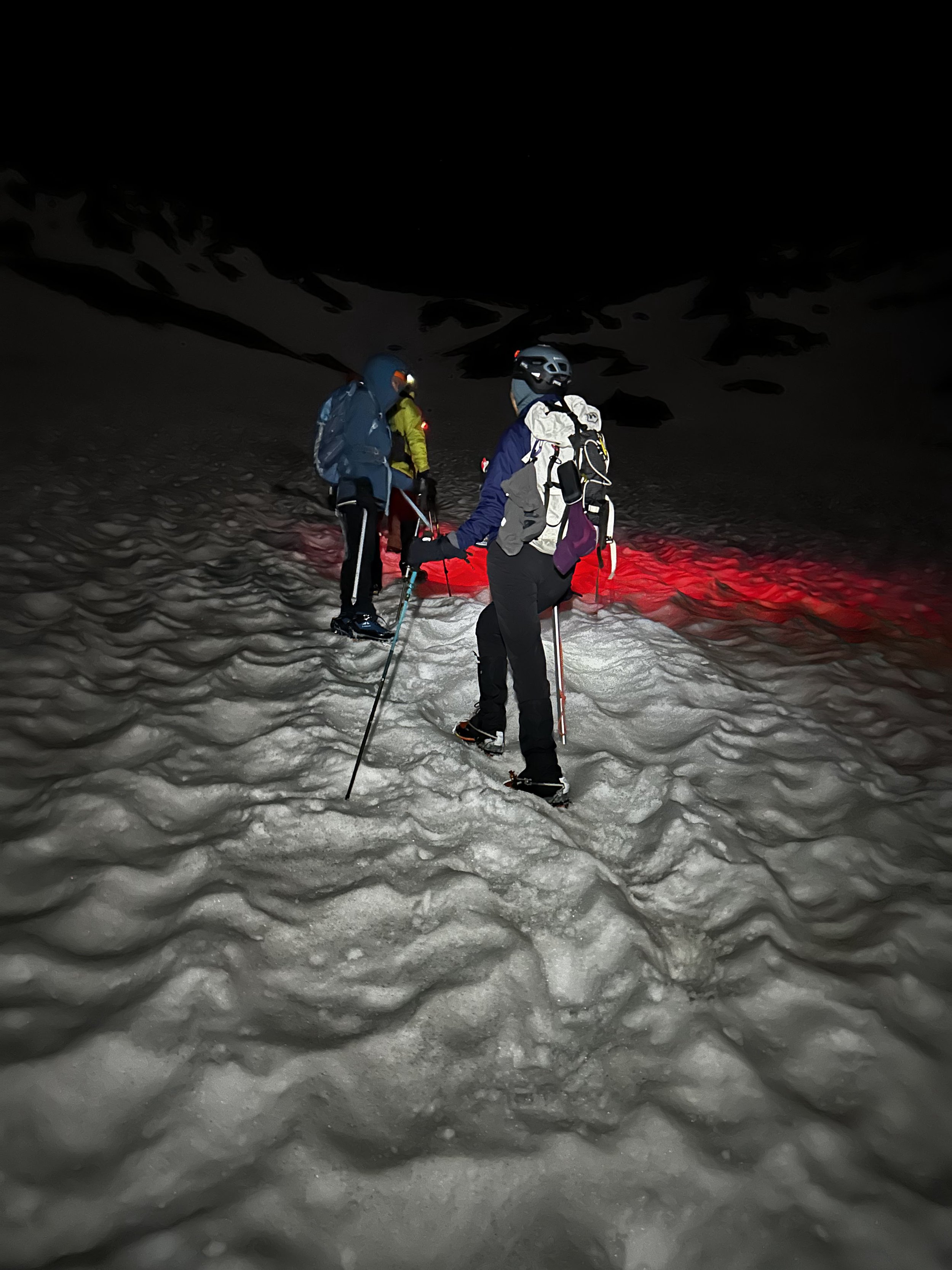
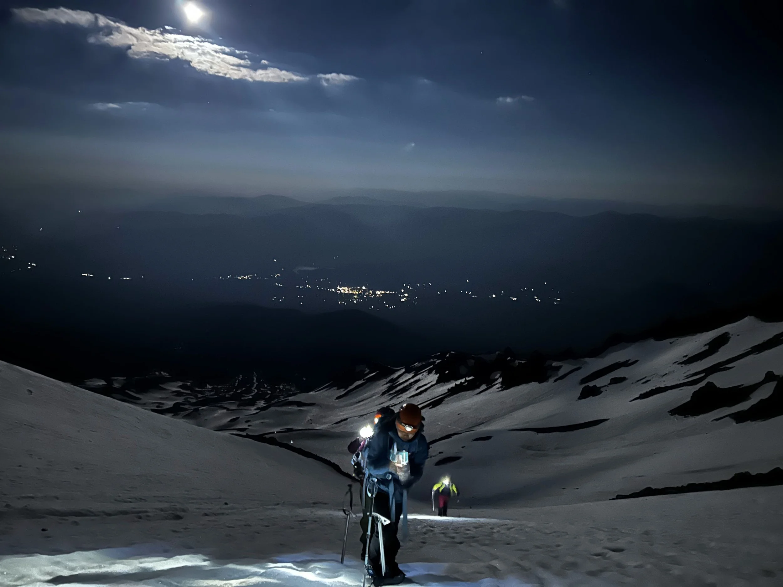
The Experience: This is a relentless, ~2,000-foot front-pointing and step-kicking snow slog. Standard practice is an alpine start (2 AM–4 AM) to climb while the snowpack is hard and stable.
Key Risks: Ice axe, crampons, and a helmet are essential here. The snow can be bulletproof early in the morning, meaning a slip without a fast self-arrest can result in a long slide down into the gulch. During the descent, as the sun hits the rock features above ("The Heart"), warming ice frequently releases bowling-ball-sized rockfall directly down the chute.
2. Red Banks Chutes (12,500 ft to ~12,800 ft)
The Pitch: The steepest section of the route, pushing 35° to 40° near the top.
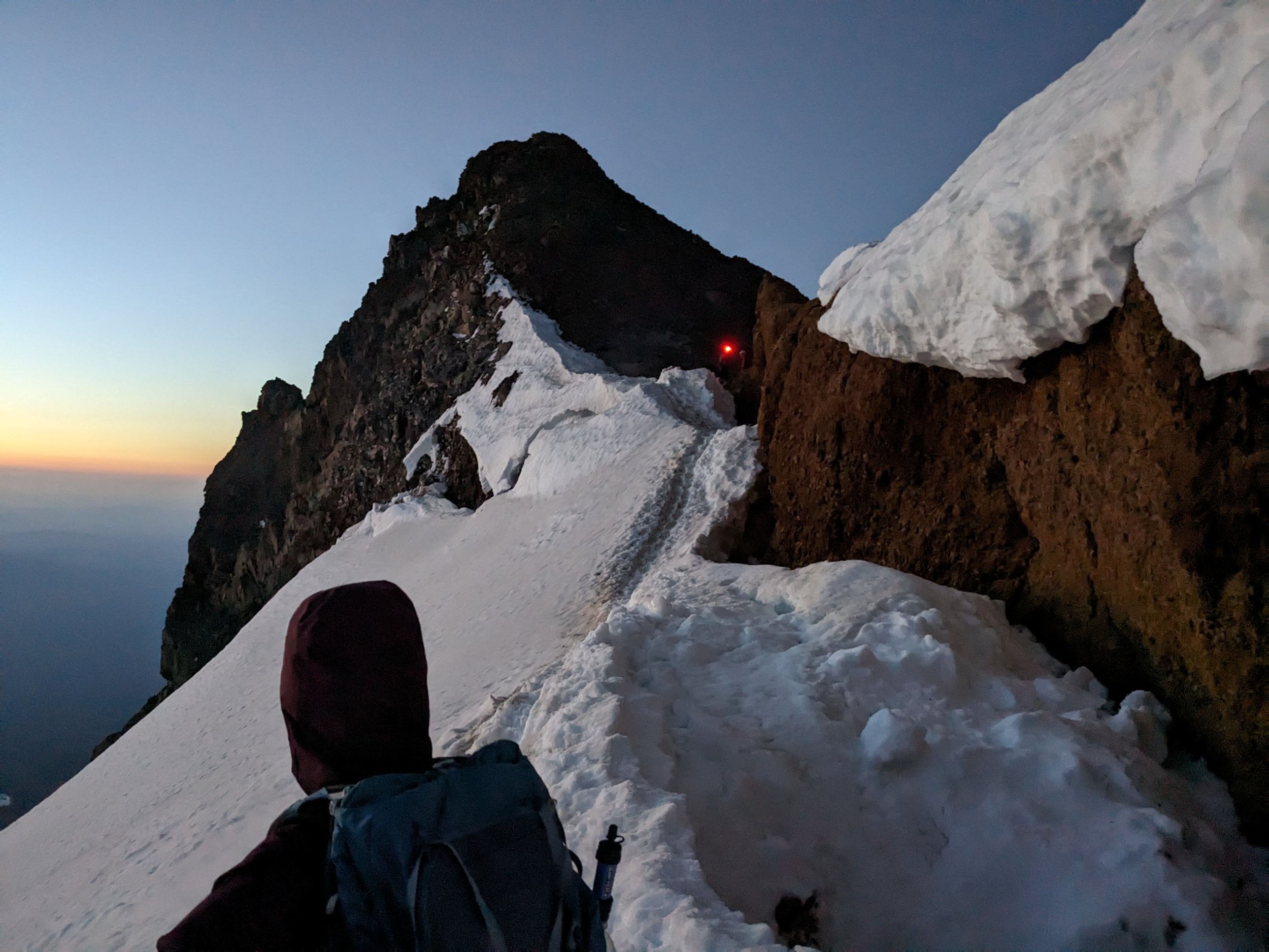
The Experience: Red Banks is a prominent band of reddish volcanic rock framing the upper gulch. Climbers route through one of several snow-filled rock chimneys or, depending on conditions, head far right around "The Thumb".
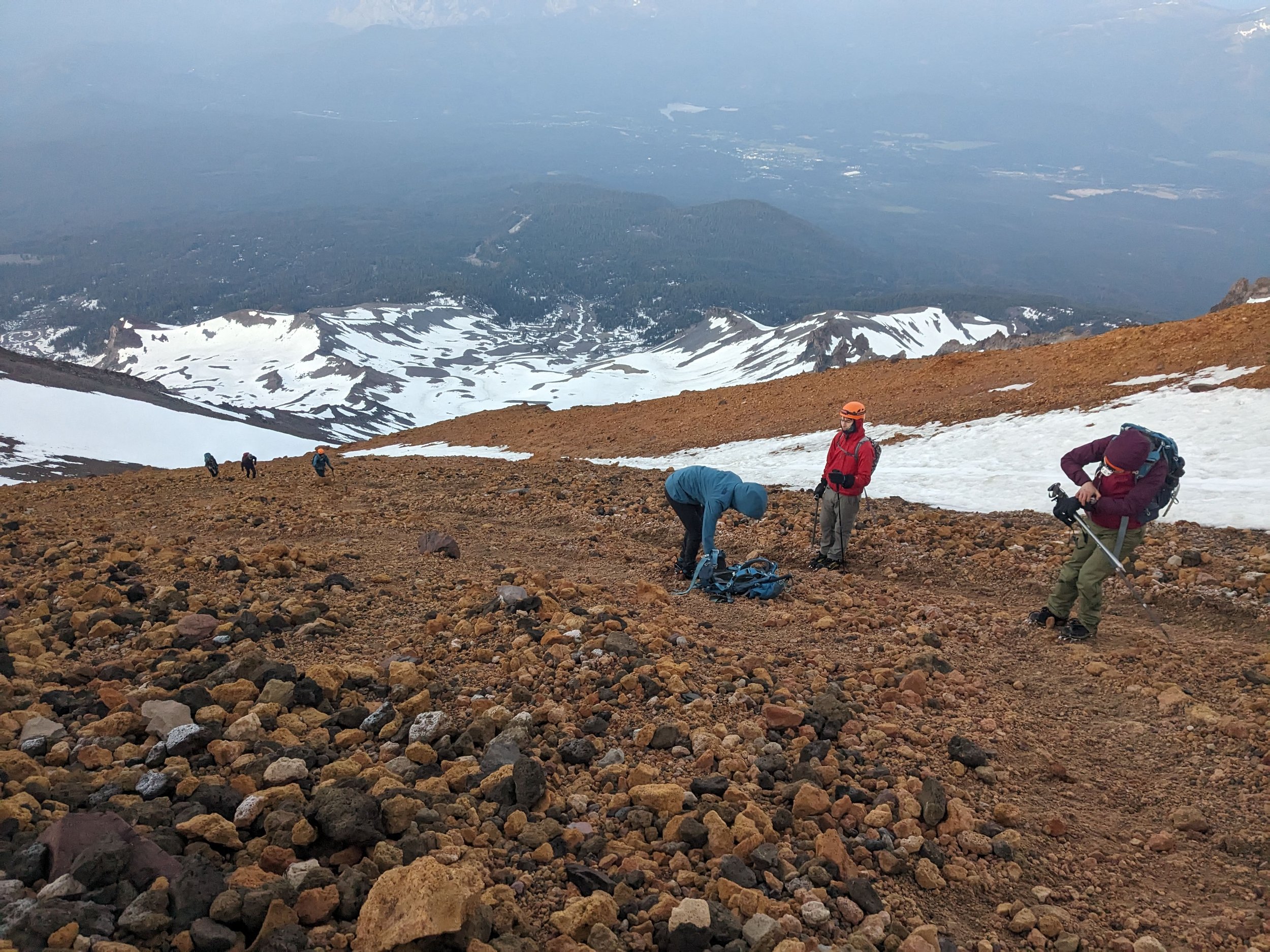
As the team gained to higher elevation and the sun has risen - internal body clocks ticked in and bathroom breaks were taken at various times. Our pace has slowed down.
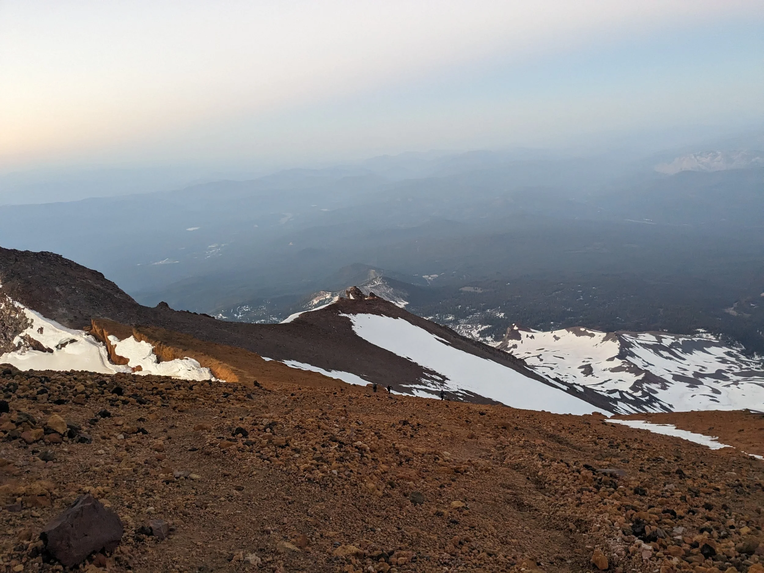
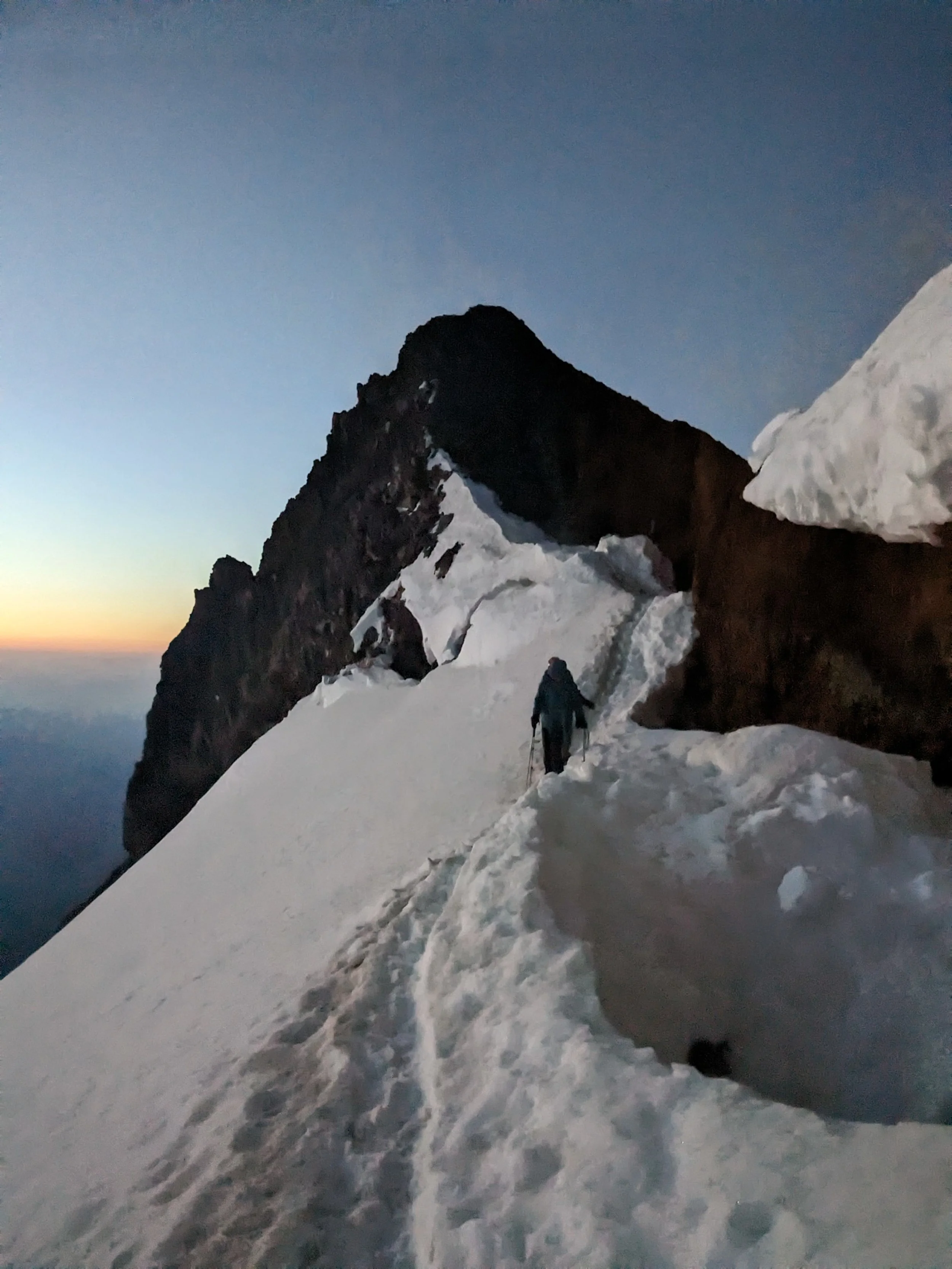
3. Misery Hill (12,800 ft to ~13,800 ft)The Pitch: The angle eases back down to a moderate ~15° to 20° grade, but altitude and fatigue make it feel much steeper.
The Experience: Cresting the Red Banks brings you to "Short Hill" and then the infamous Misery Hill. It is a long, exposed slog across volcanic scree or wind-scoured snowpack.
Key Risks: This section acts as a massive false summit. Exposure to severe high-altitude winds (frequently 30–50+ mph) and freezing temperatures is at its highest here. Route finding can become tricky in whiteout conditions.
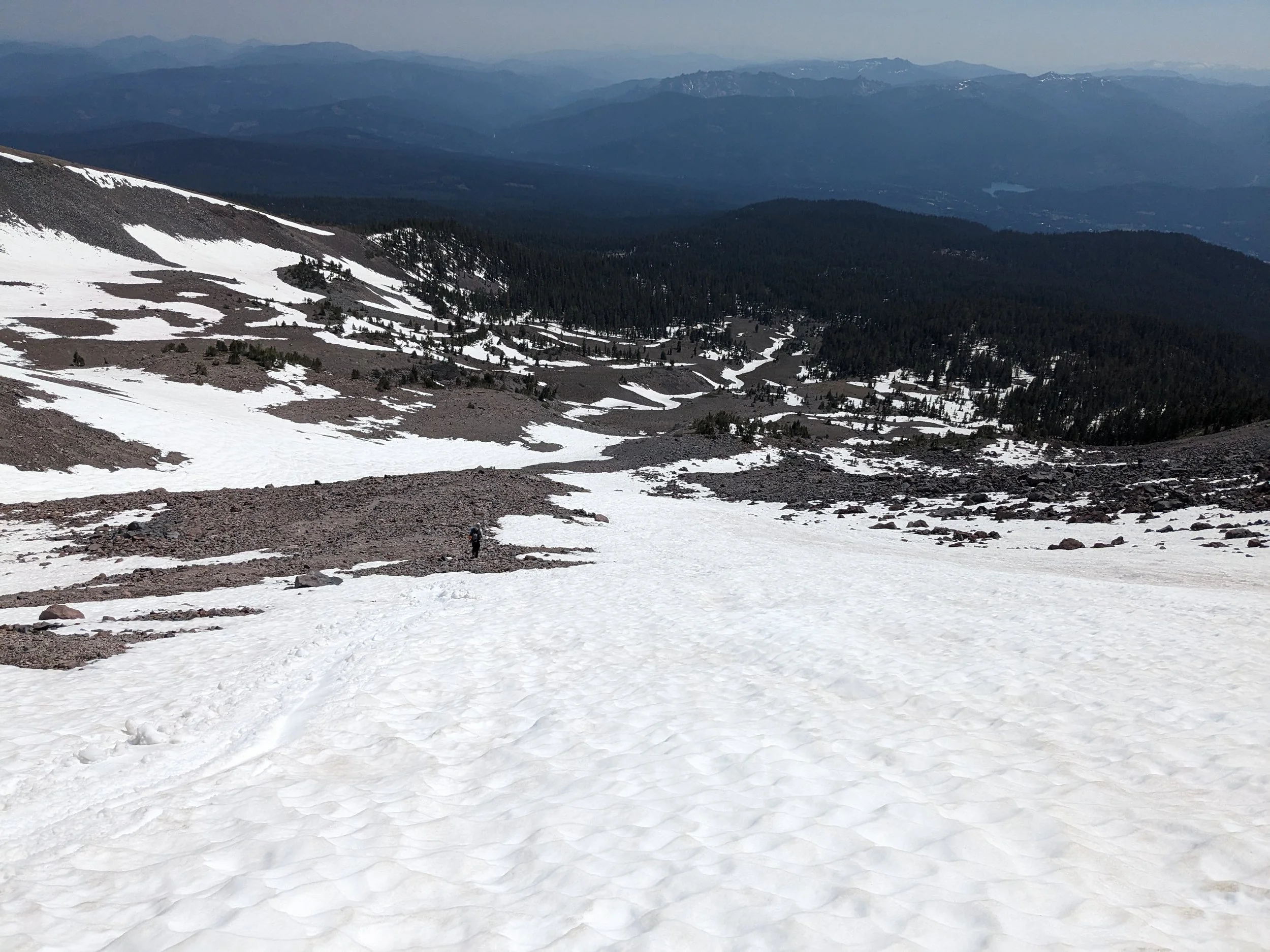
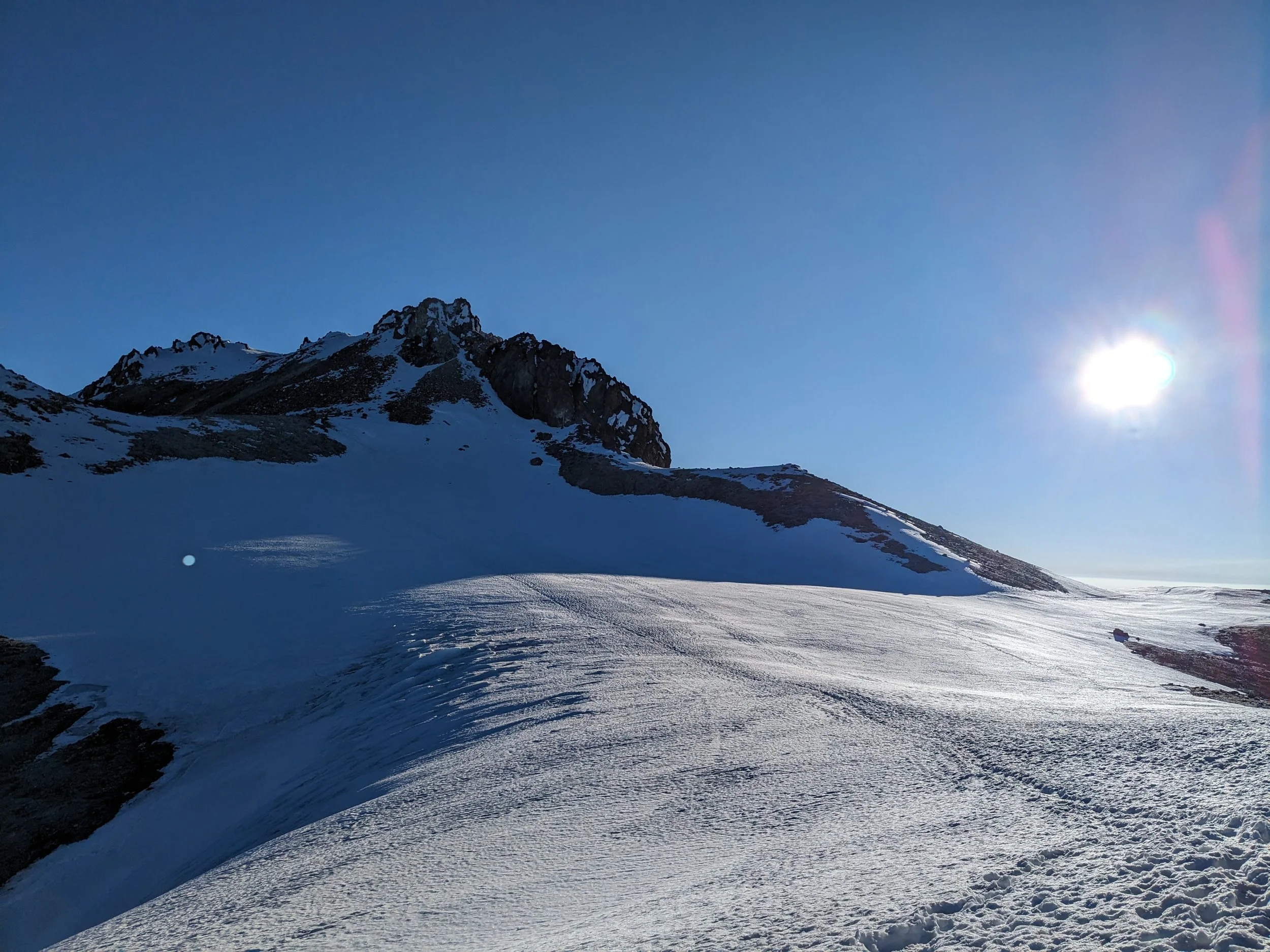
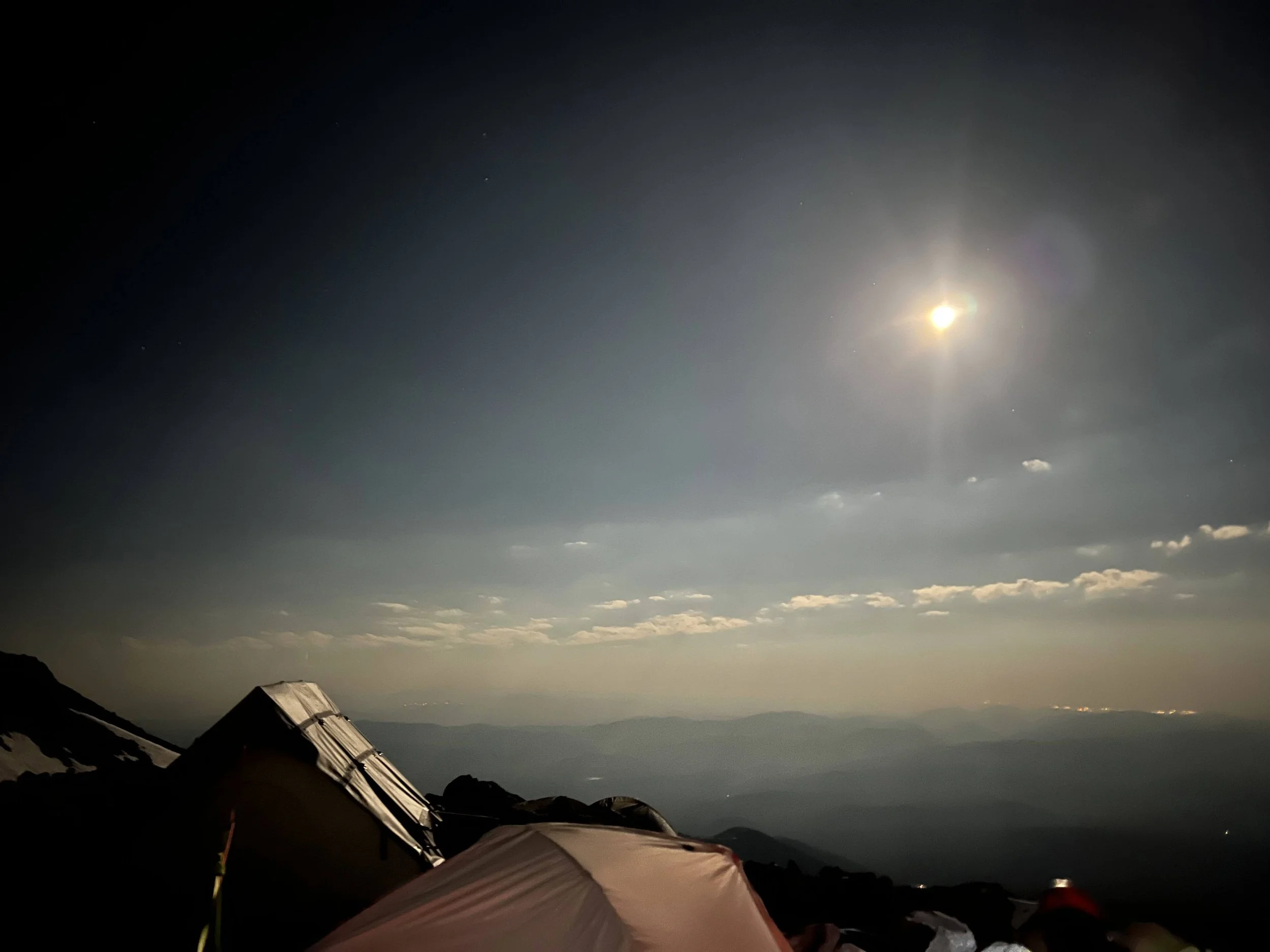
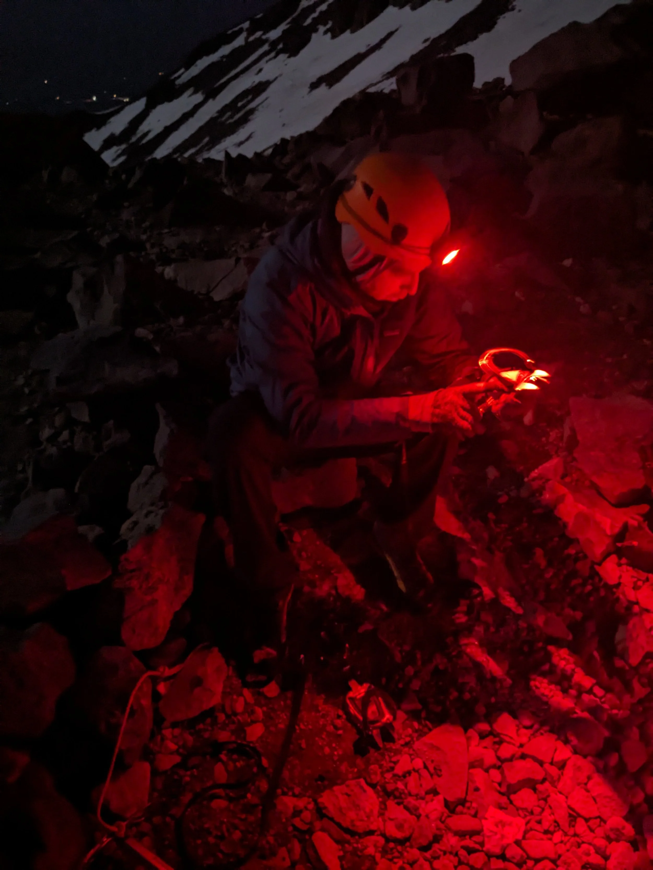
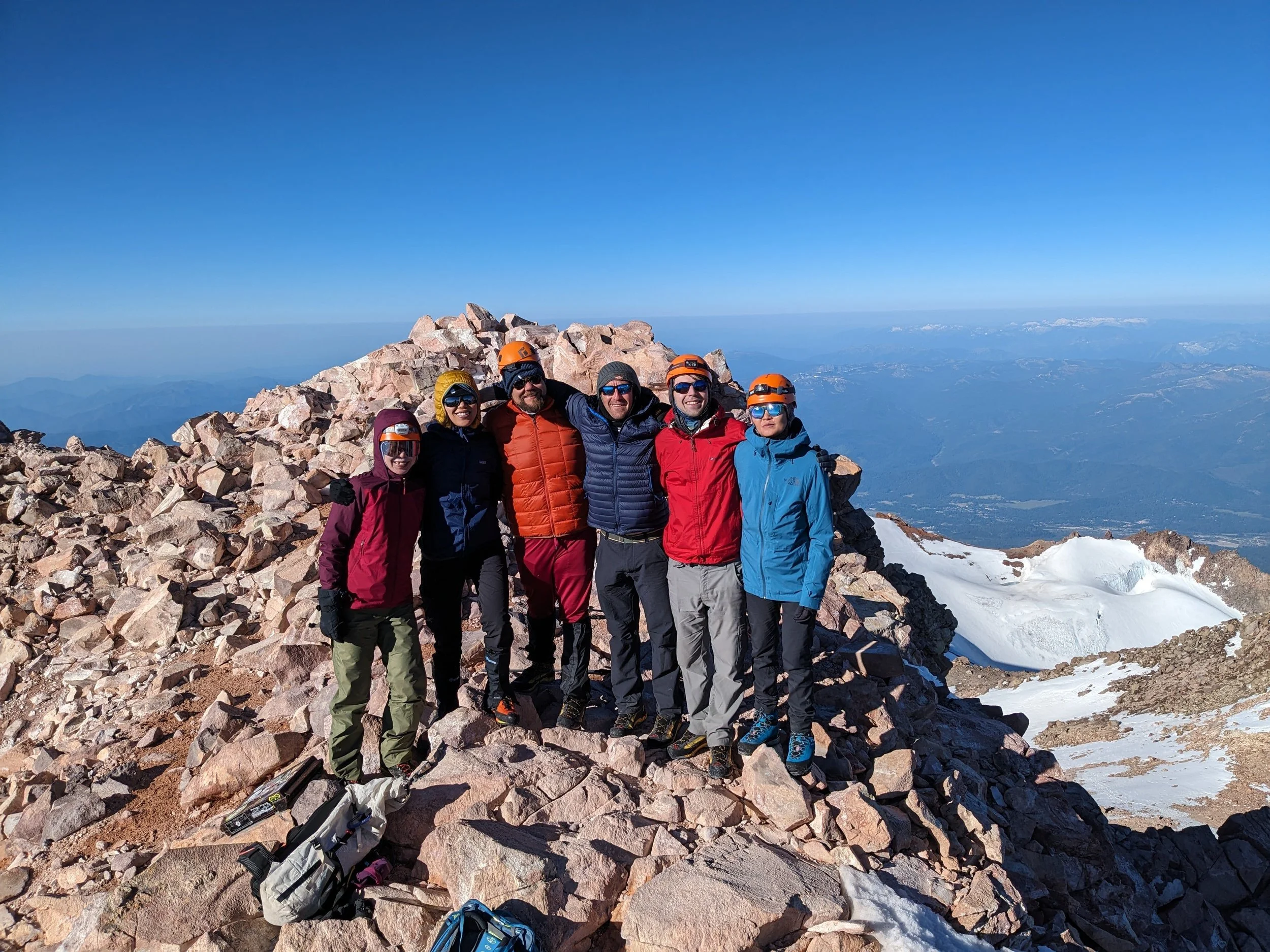
We kicked off our summit push at 1:00 AM under a brilliant, star-filled night sky. Navigating up through Avalanche Gulch and picking our line past the Red Banks, the six of us moved as a strong team all the way to the summit crest.
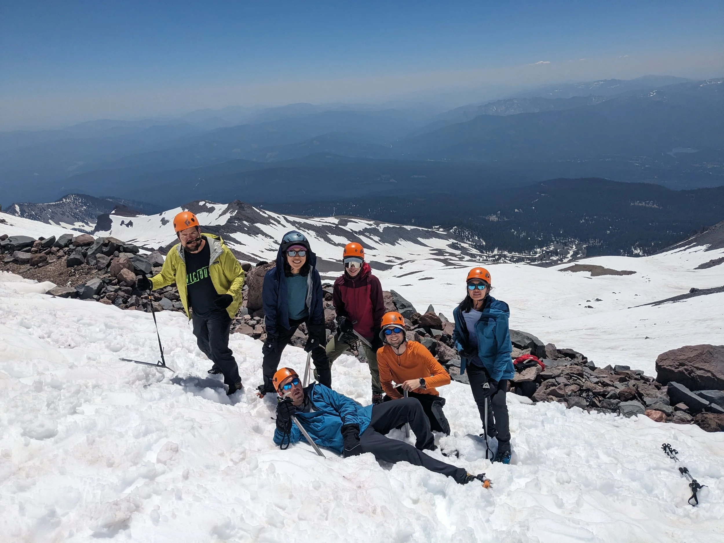
Reaching the top was magic—complete with a summit photo shoot and an impromptu, full-volume karaoke performance of Let It Be. It was the absolute perfect way to wrap up a memorable morning together on the snow.
After soaking in the sweeping views, we began our descent to Lake Helen. Note to self for next time: pack more water! The intense sun started beaming down on us, and every one of us ran completely dry before making it back to base.
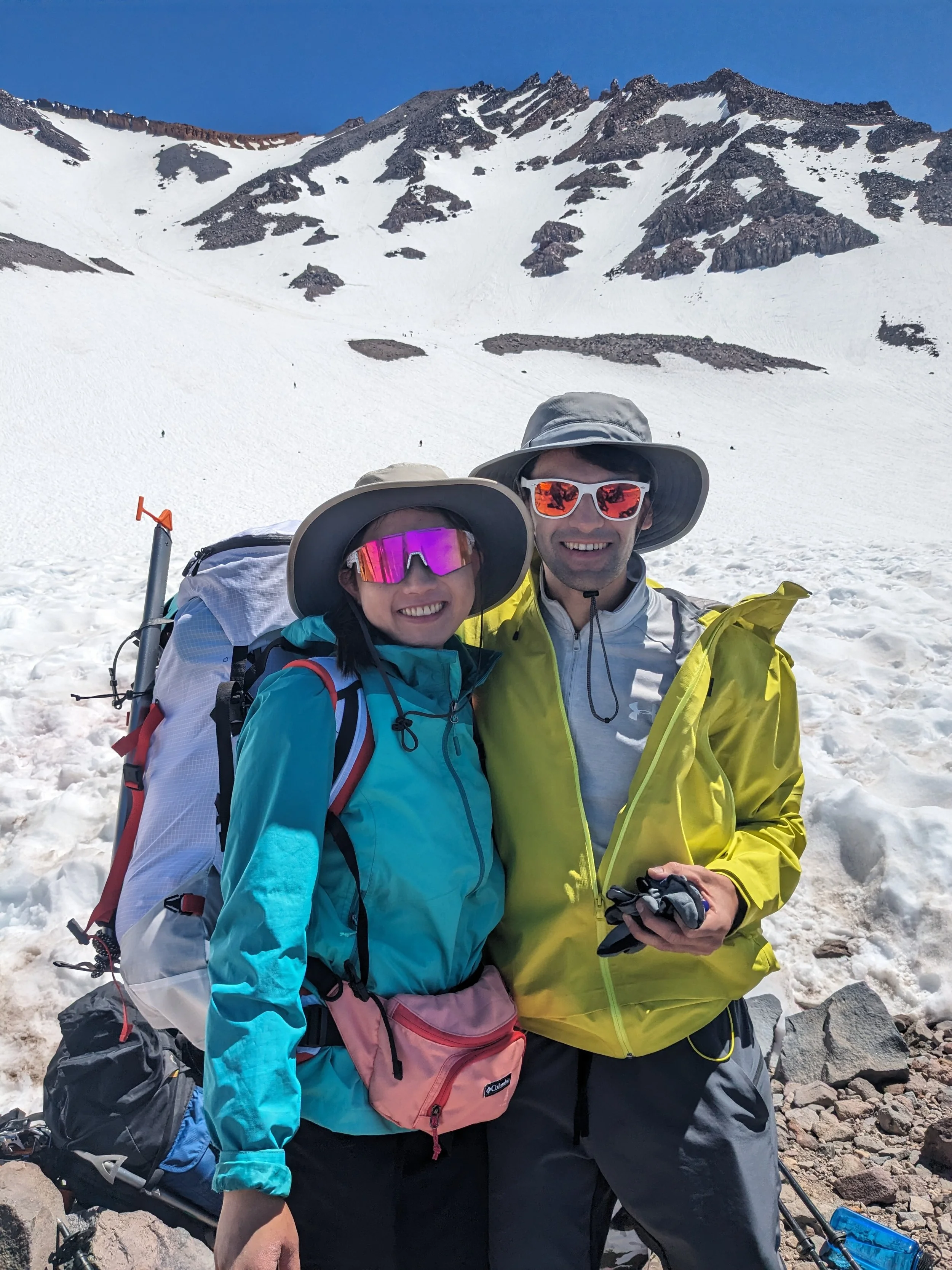
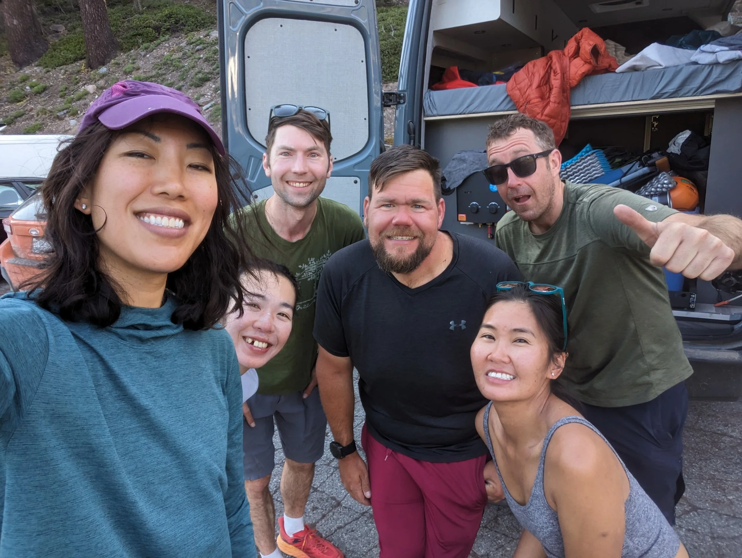
Once back at camp, we refueled with a delicious lunch, broke down our tents, and made the final hike out to Bunny Flat. From there we took one last selfie together as a group, and Bonnie and I headed over to set up our next camp near Lassen Peak—no real shower tonight, but a nice river shower instead. The journey continues.
Deepening Friendships at 10,000 Feet
Beyond reaching the peak, one of the best parts of the weekend was the energy at high camp—running into fellow climbing friends at 10,000 feet made Helen Lake feel like an alpine reunion.
For me, seeing friends reaching a new height - learning new skills opens the door to many more opportunities. Adventuring together, pushing through physical challenges, and deepening friendships along the way are what truly make trips like this unforgettable. Cheers to friends for an incredible, safe, and memorable mountain experience!