Russell - 14,094′
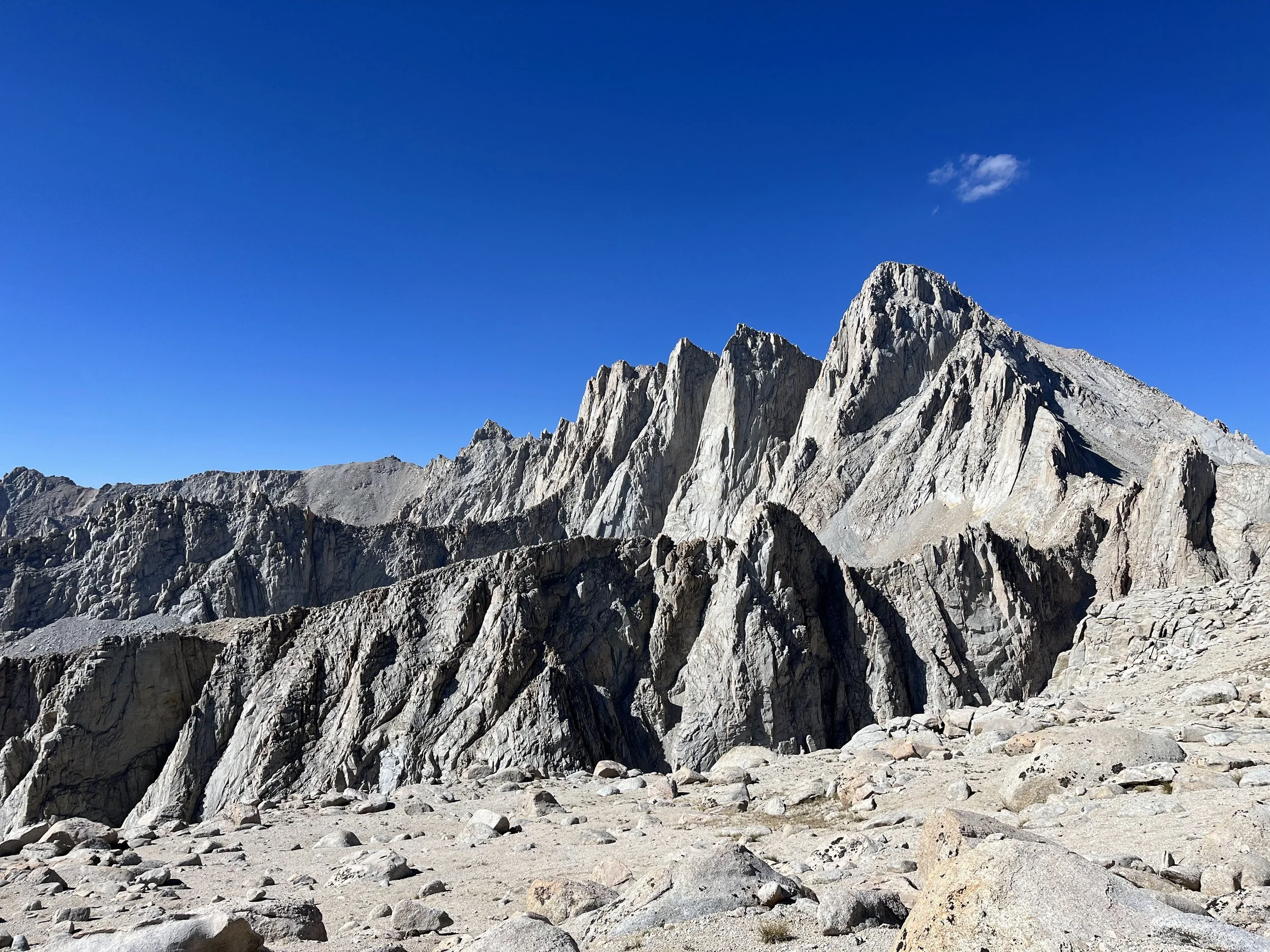
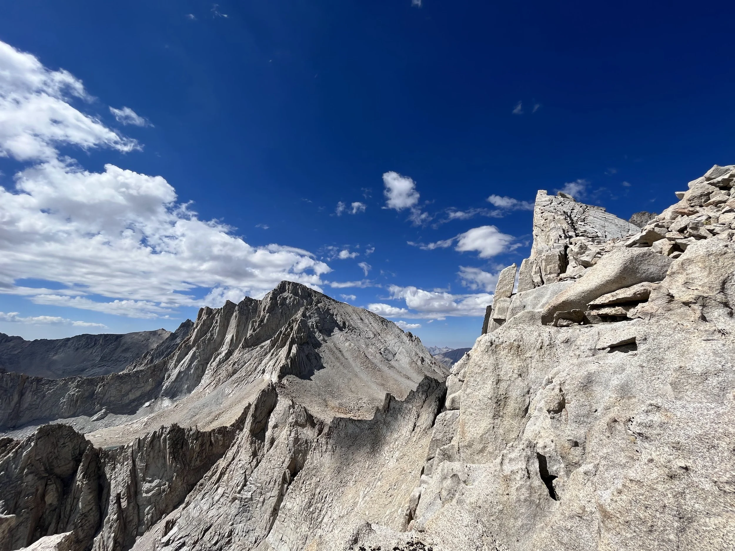
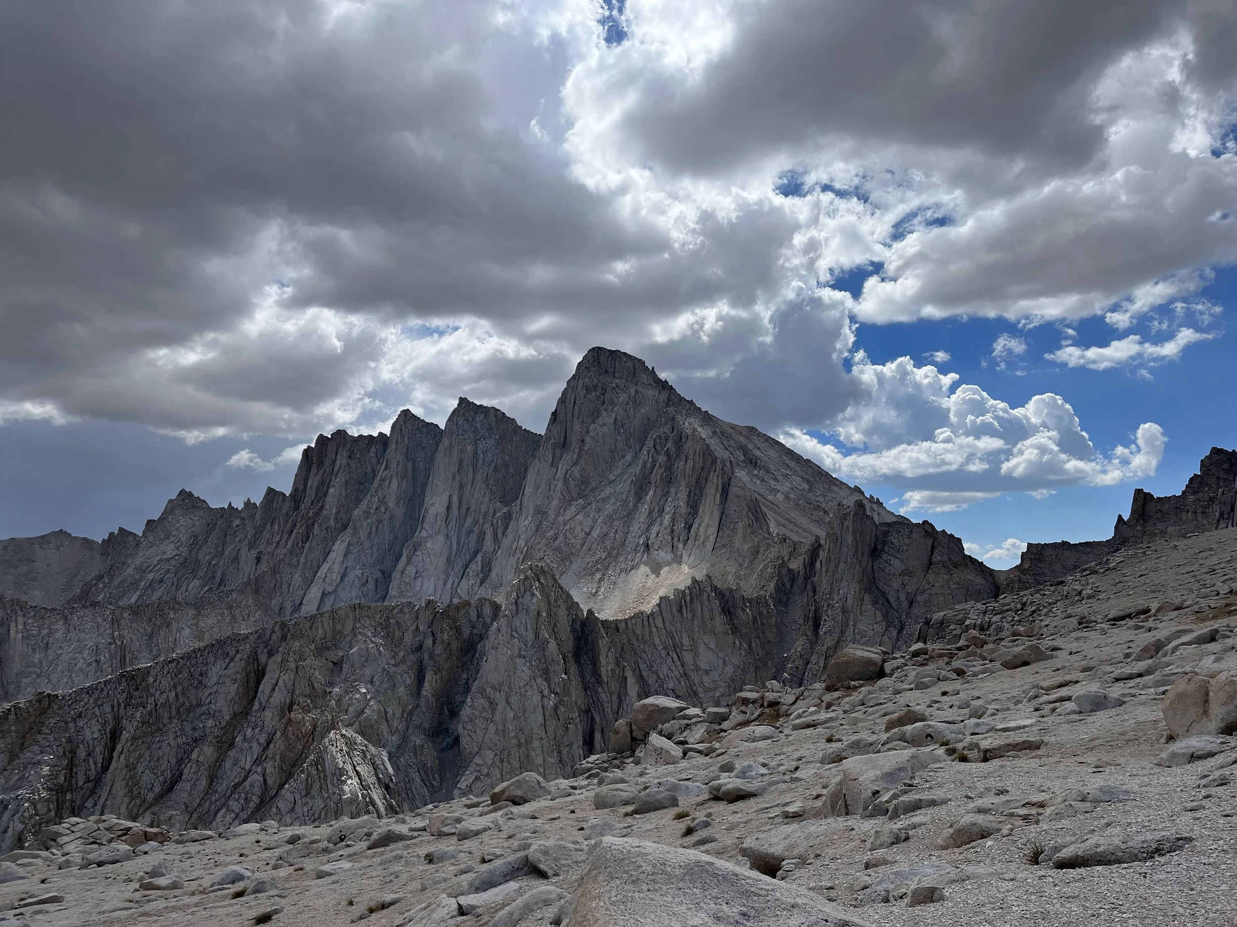
Mount Russell’s East Ridge is one of the most aesthetic and exhilarating Class 3–4 scrambles in the Sierra Nevada. From the moment you gain the ridge, the route turns into a long, airy knife-edge that feels both exposed and incredibly rewarding. The ridge itself is surprisingly solid for Sierra granite—huge golden blocks, narrow catwalk sections, and just enough technical movement to keep your attention locked in. On climber’s right, the ridge drops thousands of feet into the Whitney Cirque; on climber’s left, it plunges toward the deep Wallace Lake basin.
Progress is made by weaving between towers, using large handholds, and occasionally committing to short, exposed moves where the reward is standing on top of the crest with views that explode in all directions. It’s never excessively hard, but it demands focus and confidence with exposure.
The summit of Russell comes abruptly—one moment you're balancing along the spine, the next you're stepping onto a wide, calm block with 360° views of Whitney, the Kaweahs, the Owens Valley, and the Glacier Divide. The airy traverse, the quality of the rock, and the sense of solitude make the East Ridge one of the most iconic non-technical climbs in the High Sierra.
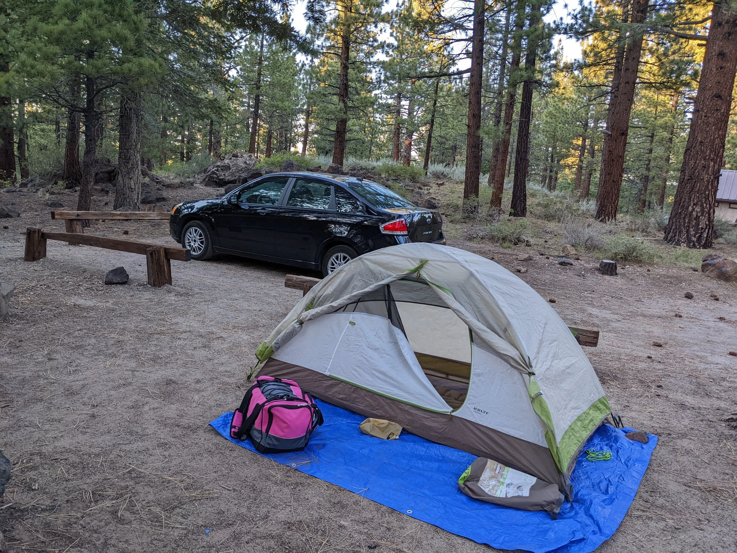
To help us acclimate for Russell coming from the Bay Area, we opted to sleep in Mammoth Lakes for a night at a campsite.
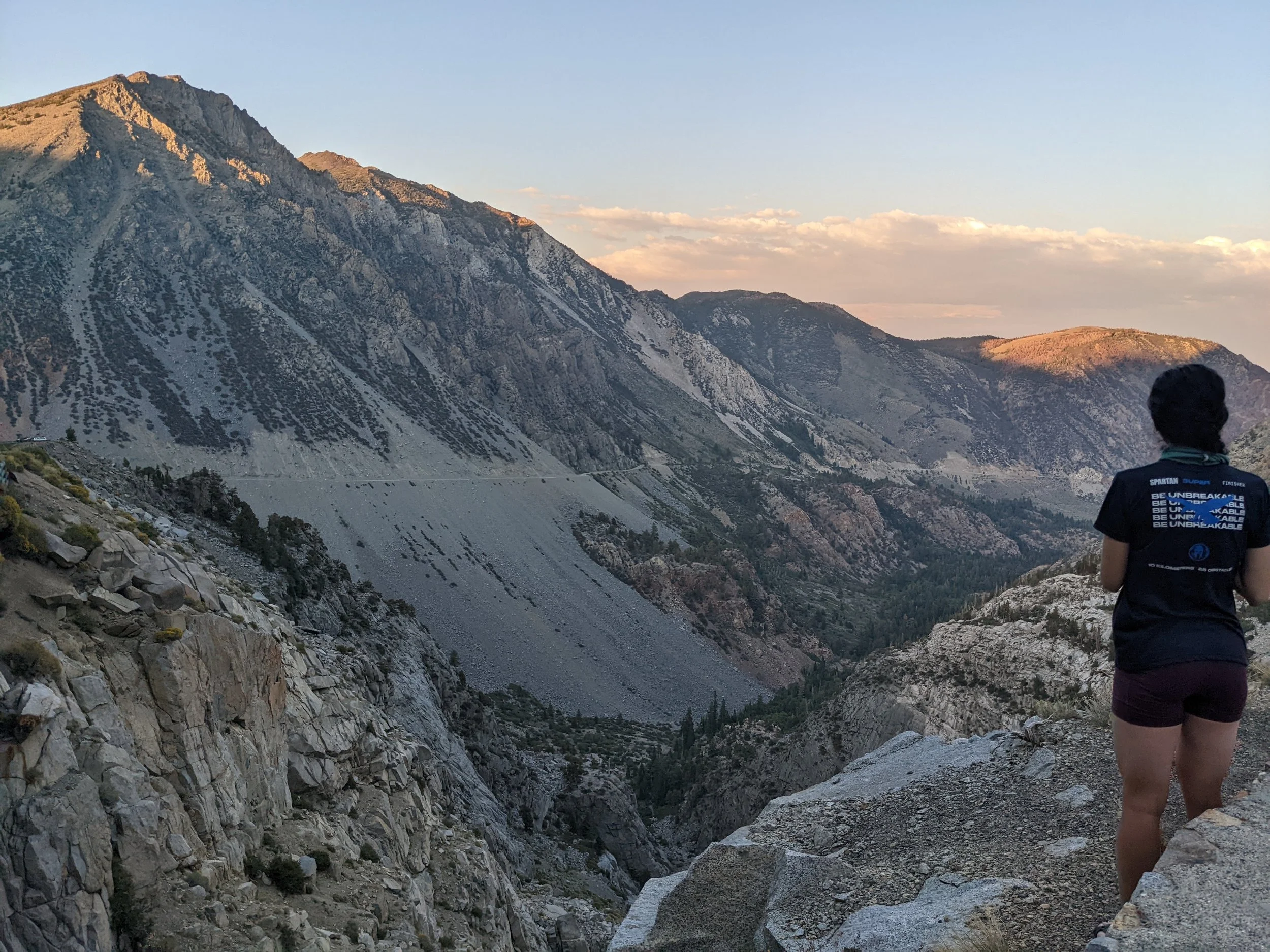
Driving over Tioga Pass felt like its own little adventure. It was Bonnie’s first time on the pass, and we timed it perfectly—cruising past Tenaya Lake and the high-country meadows just as the sun started to drop behind the granite domes. The light turned everything gold and soft, the ridgelines glowing and the sky warming into that deep Sierra pink. Every mile seemed to surprise her: the sharp turns that suddenly open to wide alpine views, the glassy lakes catching the last light, the quiet stillness that settles over the high country at sunset. It was one of those drives where you don’t mind slowing down, just to take it all in.

8/23 – Tuesday
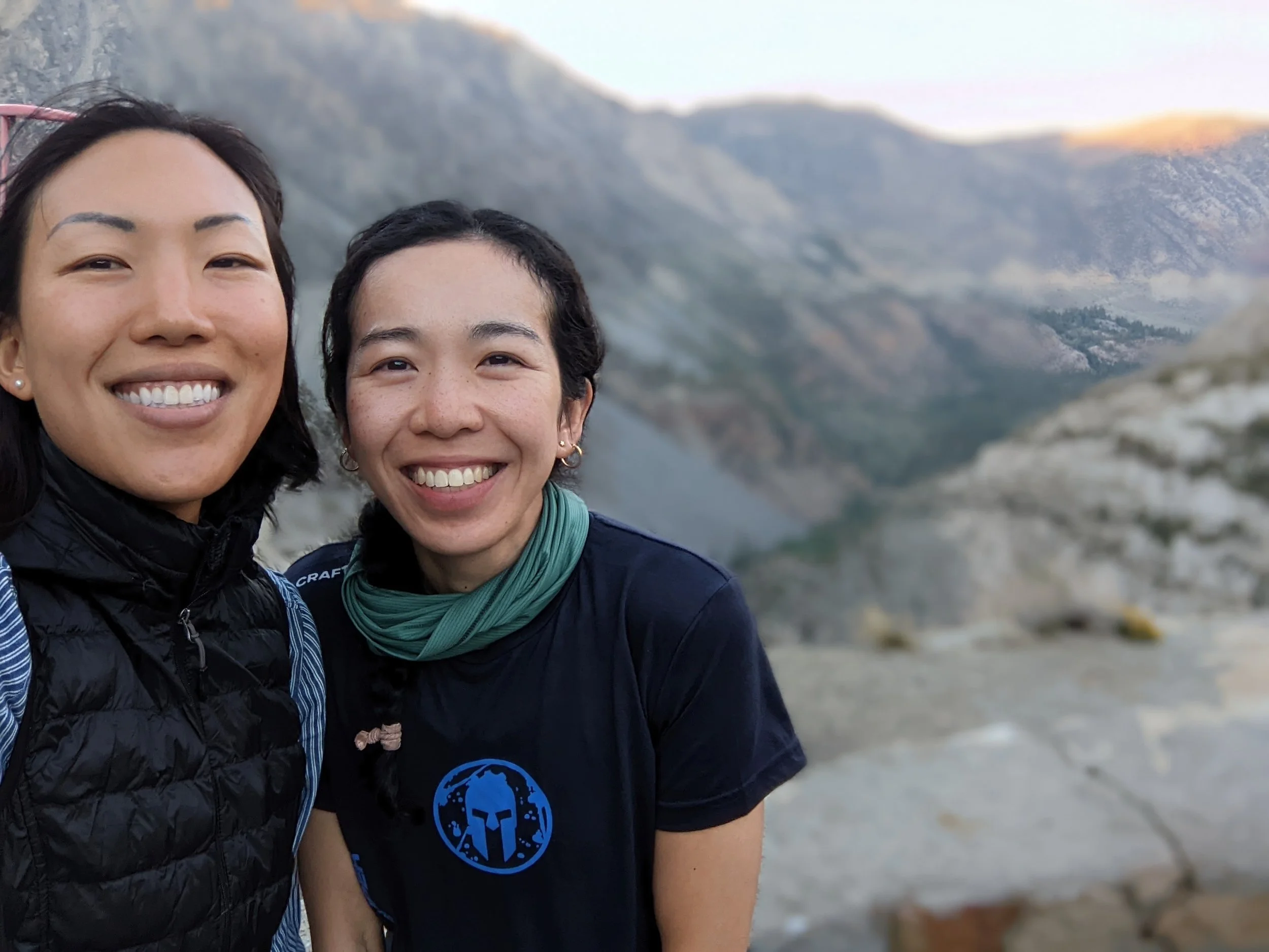
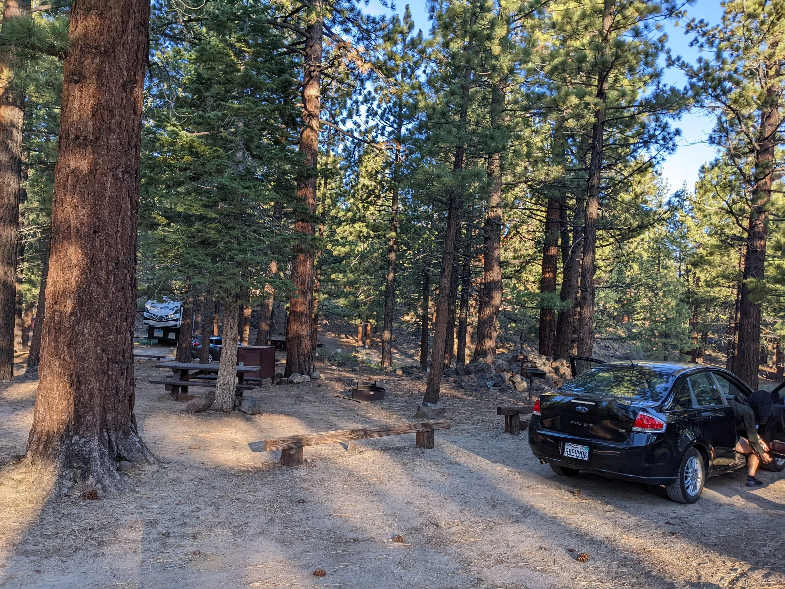
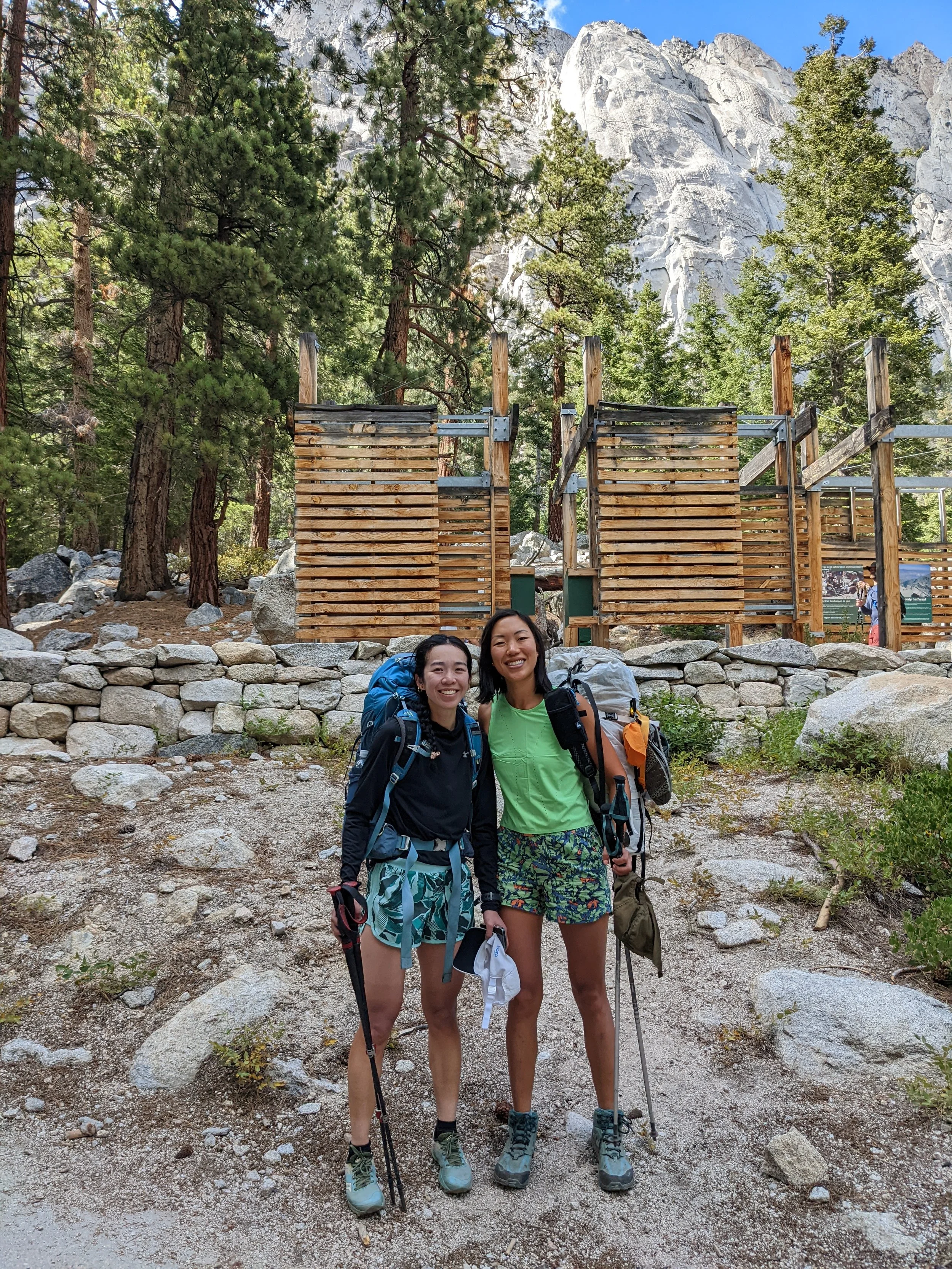
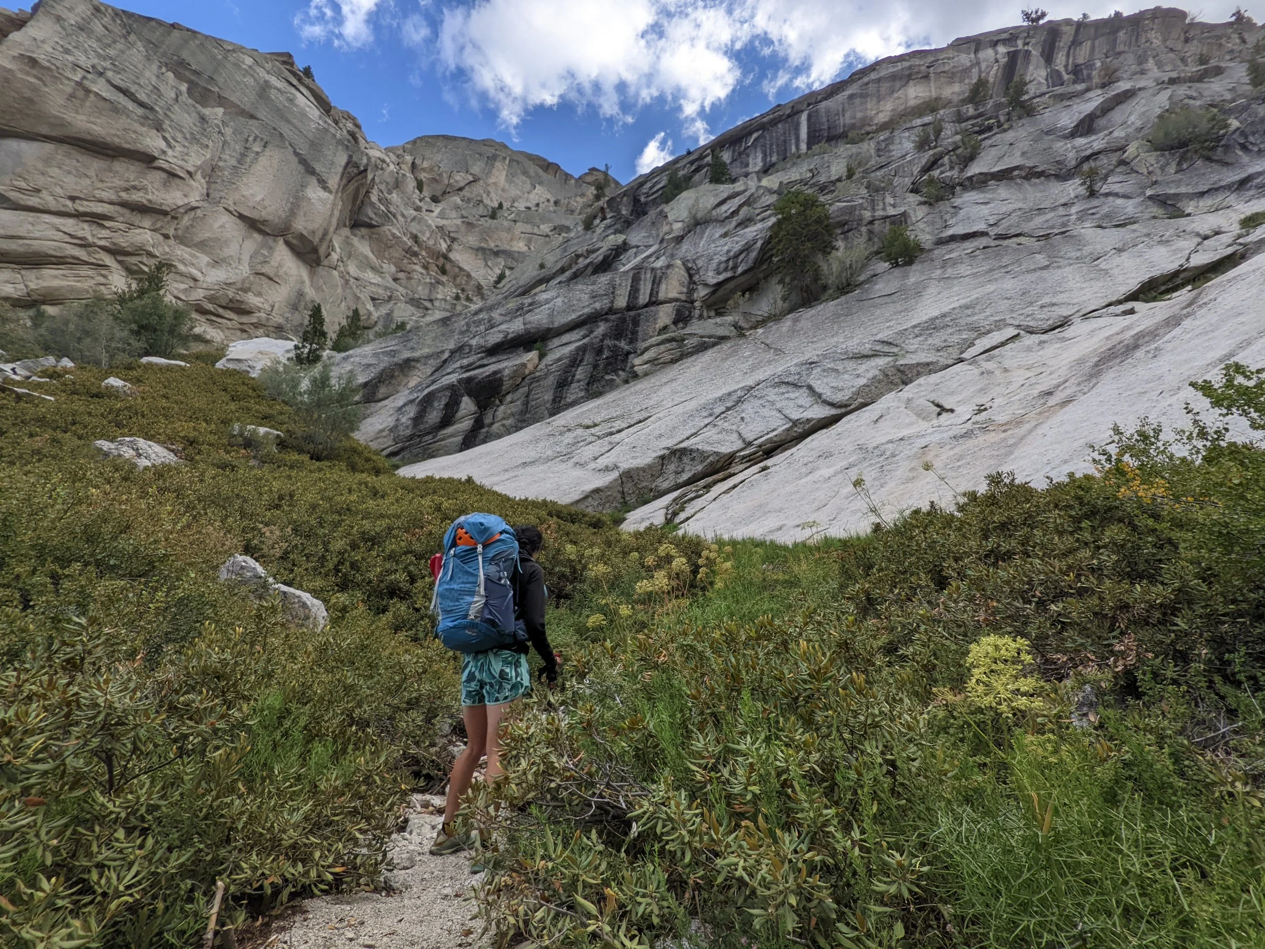
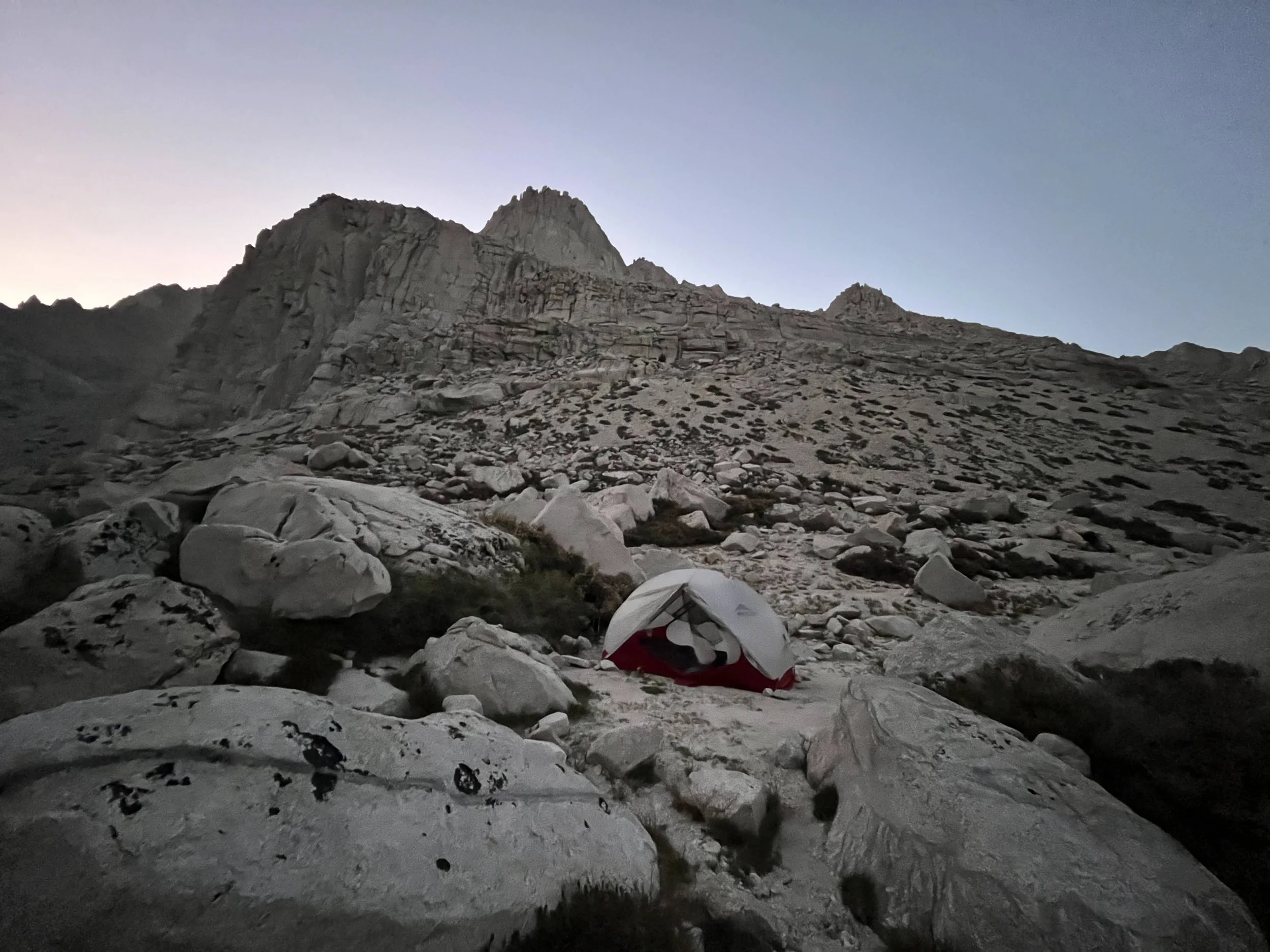
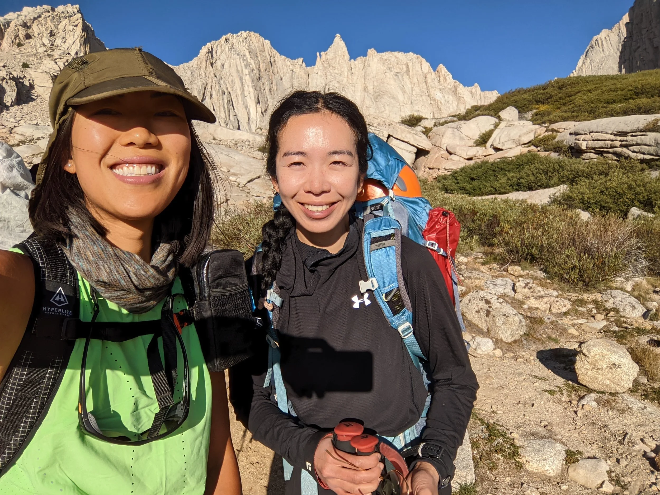
We worked for most of the day at the Mammoth Public Library and then backpacked in to Upper Boy Scout Lake (UBSL). Started around 4:00 pm and made it to camp at 7:30 pm after accidentally missing the turnoff for the North Fork of Lone Pine. I got lucky and snagged permits just a week before. It was my second time on this route—my first was in May on the Mountaineer’s Route for Whitney, but that time I was mostly following my friend. This time I was the one familiar with the trail, and I was hiking with my friend who, while an endurance athlete, is newer to Class 2 and above terrain.
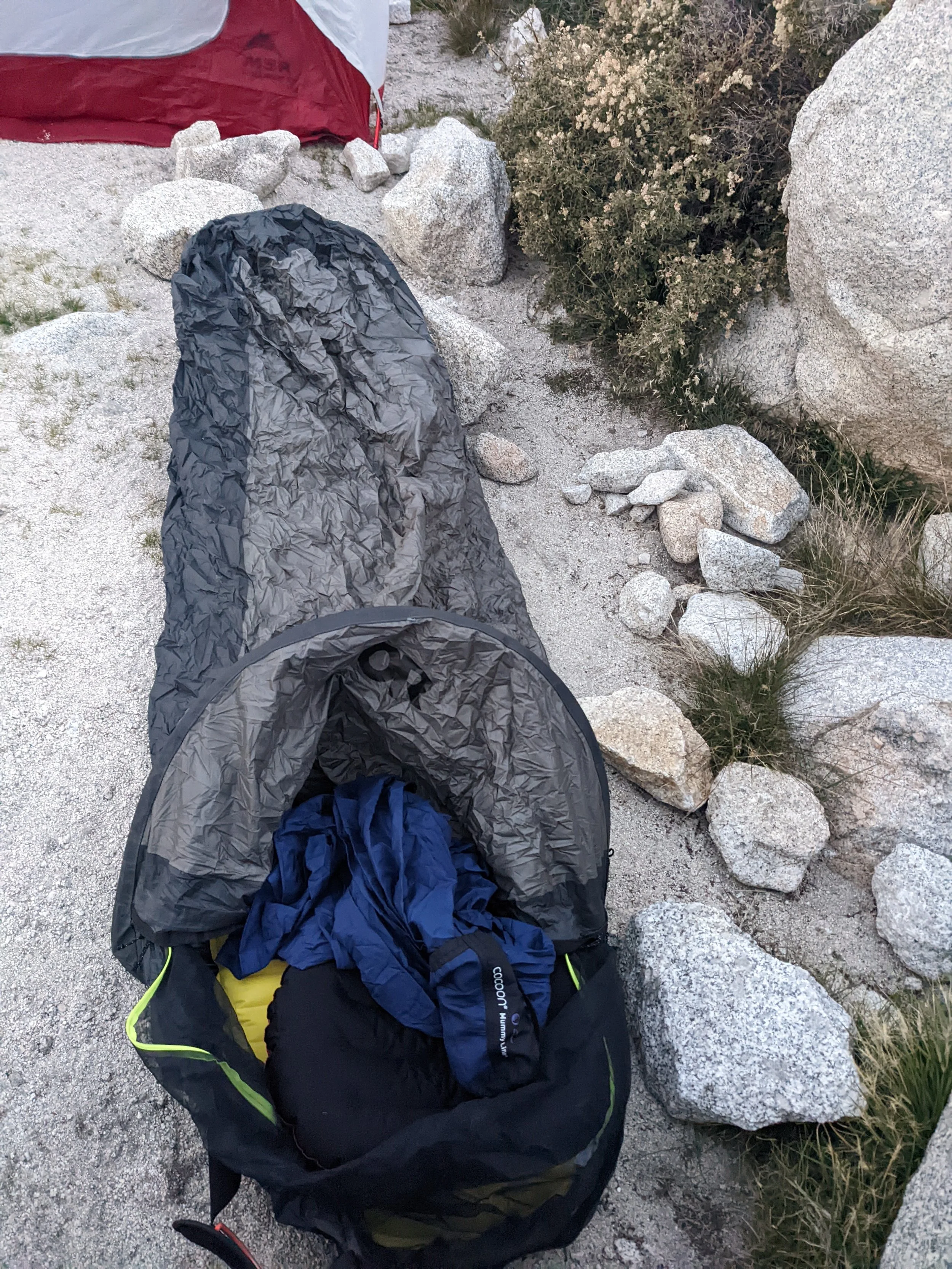
UBSL felt much colder than the forecast predicted. I crawled into my bivy and tried to rest, but between the chill and the mix of anxiousness and excitement for the next day, I only got a few hours of sleep.
Day 2
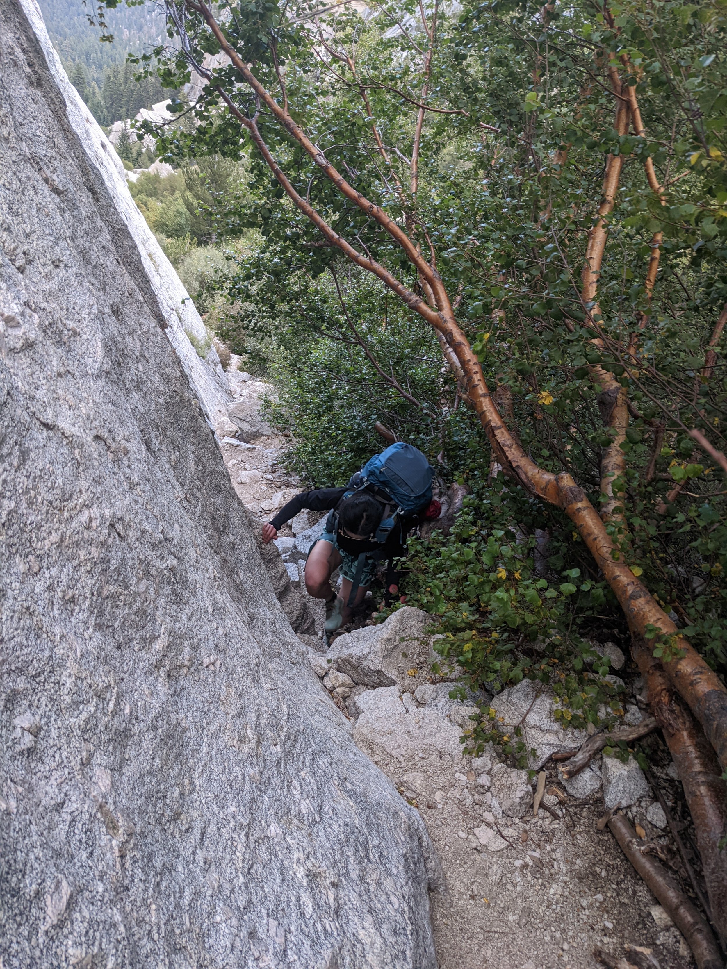
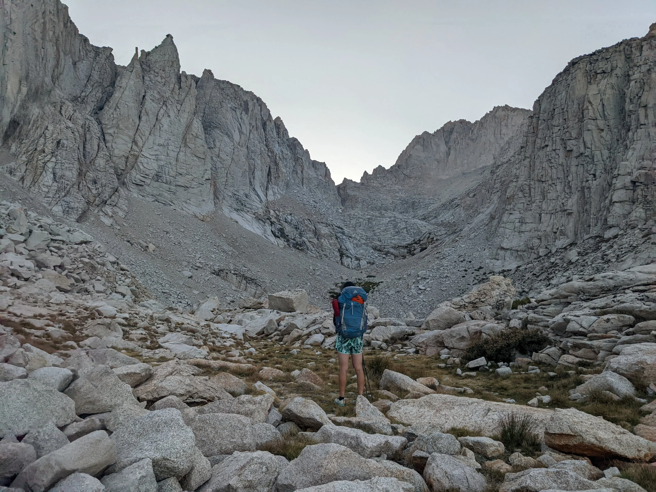
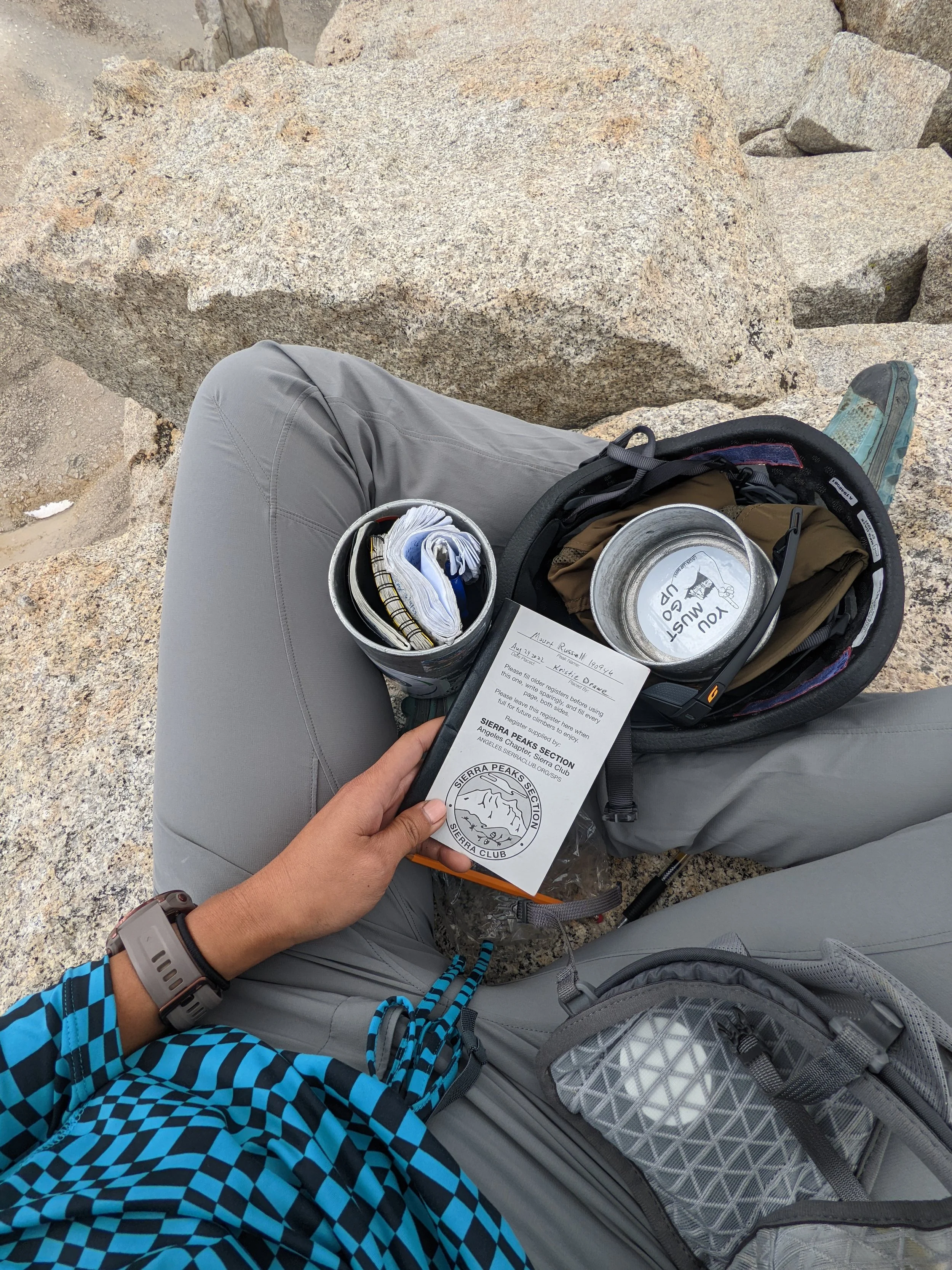
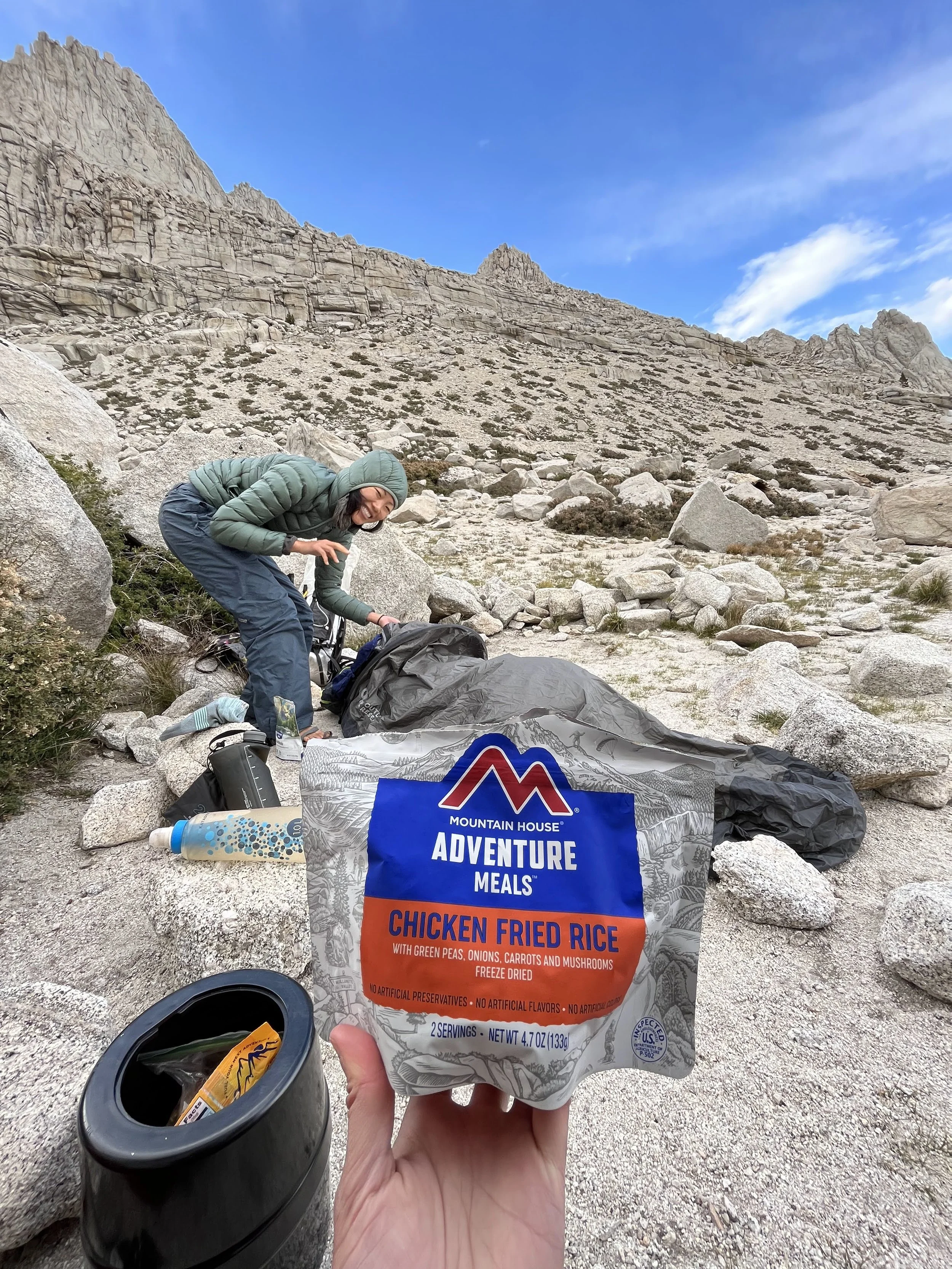
We left camp at 7:30 am with simple setups: trail running vests, snacks, 3 liters of water, and the new summit register I had promised the Sierra Club I’d deliver. The sandy slog up to the Russell–Carillon saddle was slow, but staying on the right side of the slope helped avoid the worst of the scree.
Mount Russell doesn’t fully reveal itself until the saddle, where its long ridgeline finally comes into view. Our plan was ambitious: Russell, Carillon, and—if time allowed—Cleaver.
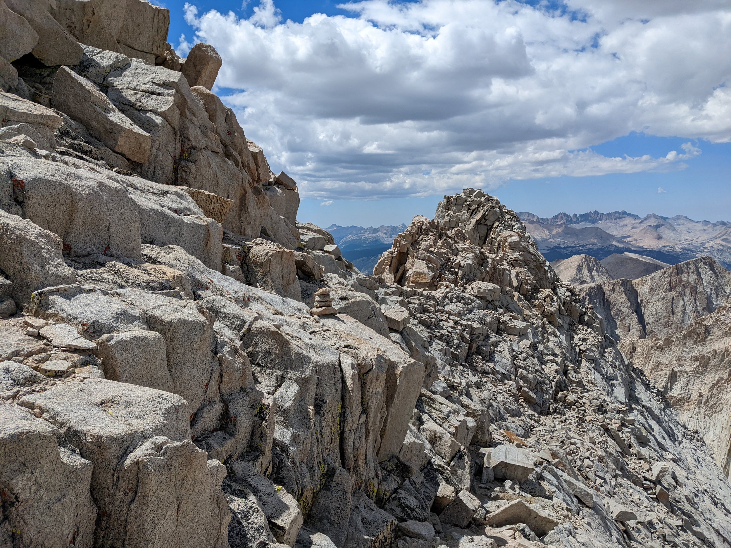
We reached the saddle at 10:30 am and began climbing toward Russell. The ridge held more bumps than expected, and I wasn’t entirely sure which one was the true summit. After a couple of knife-edge sections and a few careful moves, my friend decided she wasn’t comfortable continuing and chose to wait at the saddle. We agreed she’d head down at 4:00 pm if I hadn’t returned.
On my way up, I passed two climbers, one of them a guide who let me know I was just approaching the East Summit—not past it, as I had thought. A handful of cairns marked the way, and I stayed mostly on the right side of the ridge, away from the full exposure of the crest.
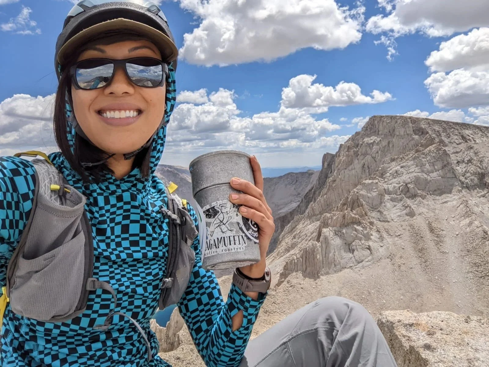
I reached the East Summit at 1:00 pm, took in the sweeping views of Whitney and the Sierra, dropped off the new register, snapped a few photos, and began descending after about ten minutes. I retraced my steps and passed four more climbers who had started earlier from UBSL.

Coming back
Retracing my steps, I passed four climbers who had started earlier from UBSL. I made it back to the saddle at 2:10 pm and happily found my friend waiting. We briefly debated tagging Carillon, but within five minutes of heading upward, the wind picked up and dark clouds began rolling in. We turned around—absolutely the right call at that elevation—and reached camp by 4:20 pm. The four climbers also bailed when they saw the weather building.
Mount Russell ended up being a really fun climb. I didn’t enjoy the sandy approach, but the rock was solid and the ridge was rewarding. Next time, I’d like to stay more on the knife-edge instead of skirting the easier side, which honestly felt more like Class 2. It has a big reputation, probably thanks to its proximity to Whitney, but personally I found Middle Pal harder (though I also wasn’t on the standard route), and Clyde Minaret felt more technical and fun.
Day 3
We left UBSL at 7:15 am for our last day and aimed for Thor Peak on the way out. After dropping our packs, we took a day pack up the sandy Class 2 slope. It had been a while since I’d been on such crumbly, vertical scree, and my quads were still feeling yesterday. I followed my friend as she powered up the hill. Unfortunately, I didn’t double-check our position, and when we reached the top of a bump, we thought we were on Thor—but there was no registry.
We descended, slightly confused, and eventually ran into a familiar face Sean Reedy who confirmed he’d just climbed Thor shortly after us. So yes—we had gone up the wrong bump.
By 2:00 pm we hiked out, ending the last 30 minutes of the trip in refreshing afternoon rain.