This is the OG story of what got me hooked with summer mountaineering
It all begins with an idea. It was a crazy idea.
Back in 2021, a few friends and I set out on a 6-day backpacking trip to climb several of California’s 14ers. Mount Langley was my very first summit above 12,000 feet, and the experience left me hooked. The intensity of the climb, the remoteness of the Sierra, and the endless canopy of stars at night drew me in instantly. I was so committed to the adventure that I even shaved my hair down to almost nothing—just so I wouldn’t have to worry about greasy, unwashed hair on the trail 😆.
What actually happened…
What actually happened…
Before I get into it, let me preface a bit. Before this trip, I had been hiking since March 2020 (the beginning of COVID) and had backpacked a few times before July 2021. The highest elevation I’d reached was Alta Peak in Sequoia National Park on a day hike. It was my first time above 10,000 feet, and I remember huffing and puffing my way to the top at 11,200 feet.
My partner at the time invited me on this 6-day backpacking trip that his friend had planned. It sounded to me like a fun backpacking trip with a few peaks to climb along the way. I was in!! Little did I know just how intense it was going to be…
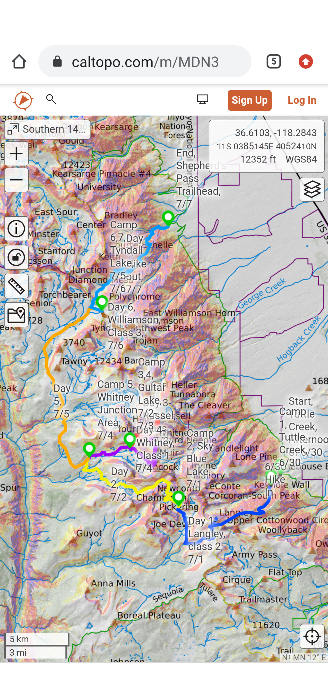
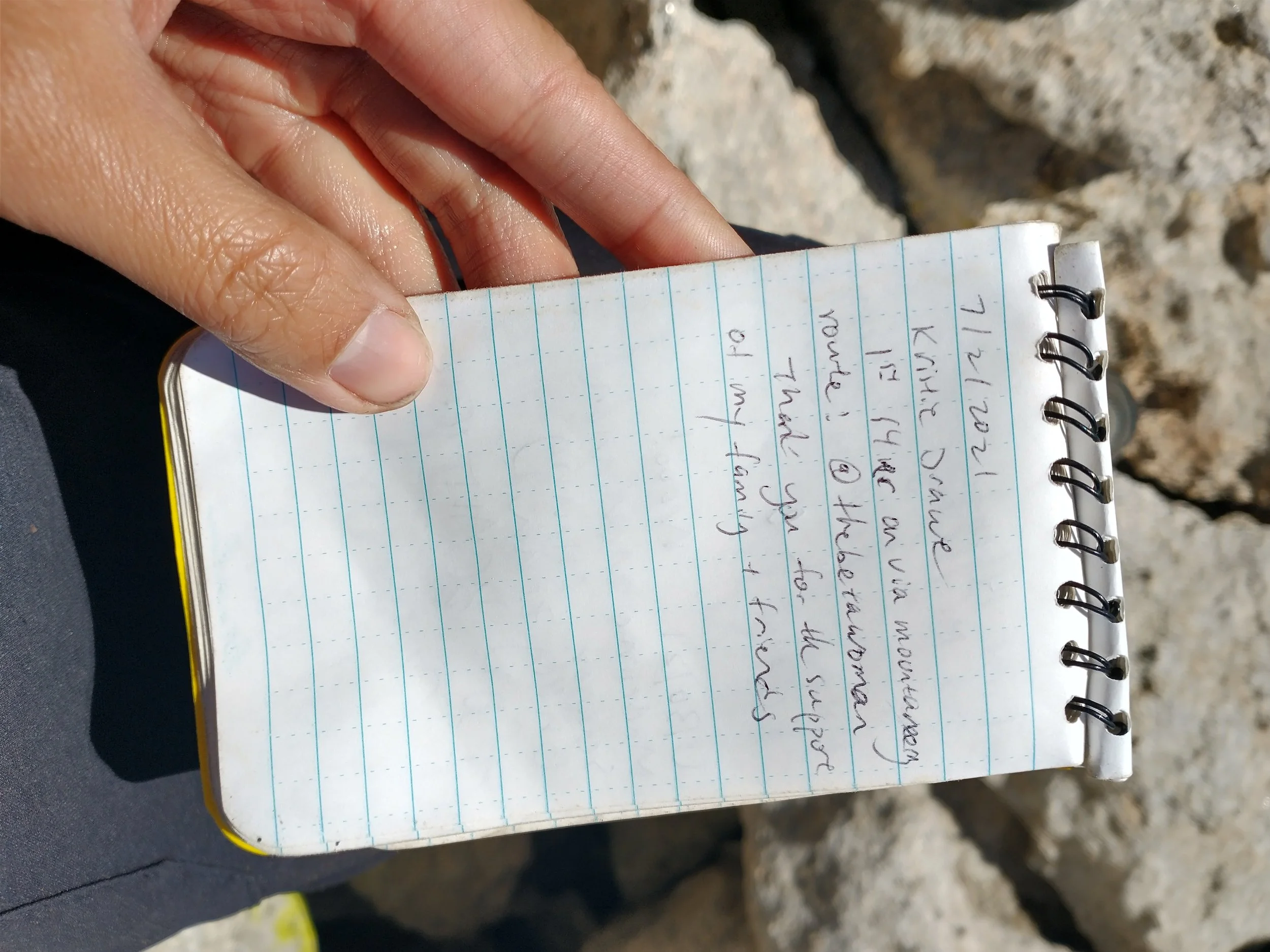
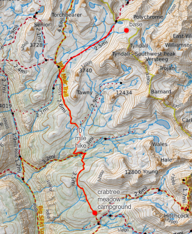
The organizer, Travis had planned this schedule - 7 days and 5 california 14’ers: copy and pasted from the google spreadsheet. He had mapped it on caltopo. Little did I know what I had signed up for.
“The Plan”
June 30, 2021 Day 0 Drive up after wrk - camp in national forest area outside Horseshoe Meadows
Wednesday Car drop at the end of Sherpard's Pass
Hike .85 miles to Tuttle Creek
Camp Tuttle Creek
July 1, 2021 Day 1 Horsehoe Meadows Campground, Mt Langley
Thursday Miles 10.13 miles
Camp Blue Sky Lake
Water Creeks, Cottonwood lakes, High lake - water scarce after 11k until sky lake
Comment 7300 ft gain/ 3512 descent
July 2, 2021 Day 2 Sky Lake to Guitar Lake (joins with PCT/ past Crabtree meadows)
Friday Miles 11.16 miles
Camp Whitney Junction
Comment 3000 ft gain/ 3100 descent; Wag bags past Crabtree meadow - toilet available
July 3, 2021 Day 3 Mt. Russell
Saturday Guitar Lake - Mt Russell and back
Miles 4.55 miles
Camp Guitar Lake
Water Guitar Lake
Comment Need Wag bags - 2700 ft gain, 2700 ft descent - *wag bag day*
July 4, 2021 Day 4 Mt Muir, Mt Whitney
Sunday Guitar Lake to Muir, Whitney pack up and back to Whitney Junction Area
Miles 11.79 miles
Camp Whitney Junction Area
Water Guitar Lake,
Comment *wag bag day* before Crabtree meadow - toilet available
July 5, 2021 Day 5 Whitney Junction to Tyndall Lake
Monday Miles 12.34 miles
Camp Tyndall Lake
Comments 3200 gain/ 1500 descent
July 6, 2021 Day 6 Tyndall Lake - Williamson and back
Tuesday Miles 4.54 miles
Camp Tyndall Lake
Comments 3000 gain/ 3000 descent
July 7, 2021 Day 7 Tyndall Peak (?)+ Out?
Wednesday Miles 10.78 miles - 14 miles
Finish
End 1200 gain (+Tyndall?), 7100 ft descent (-Tyndall?)
Comments "Dropoff to car at Horsehoe Meadows, Get in car at end of Sherpard's Pass
Tyndall is an easy, markable trail to summit "


day 1
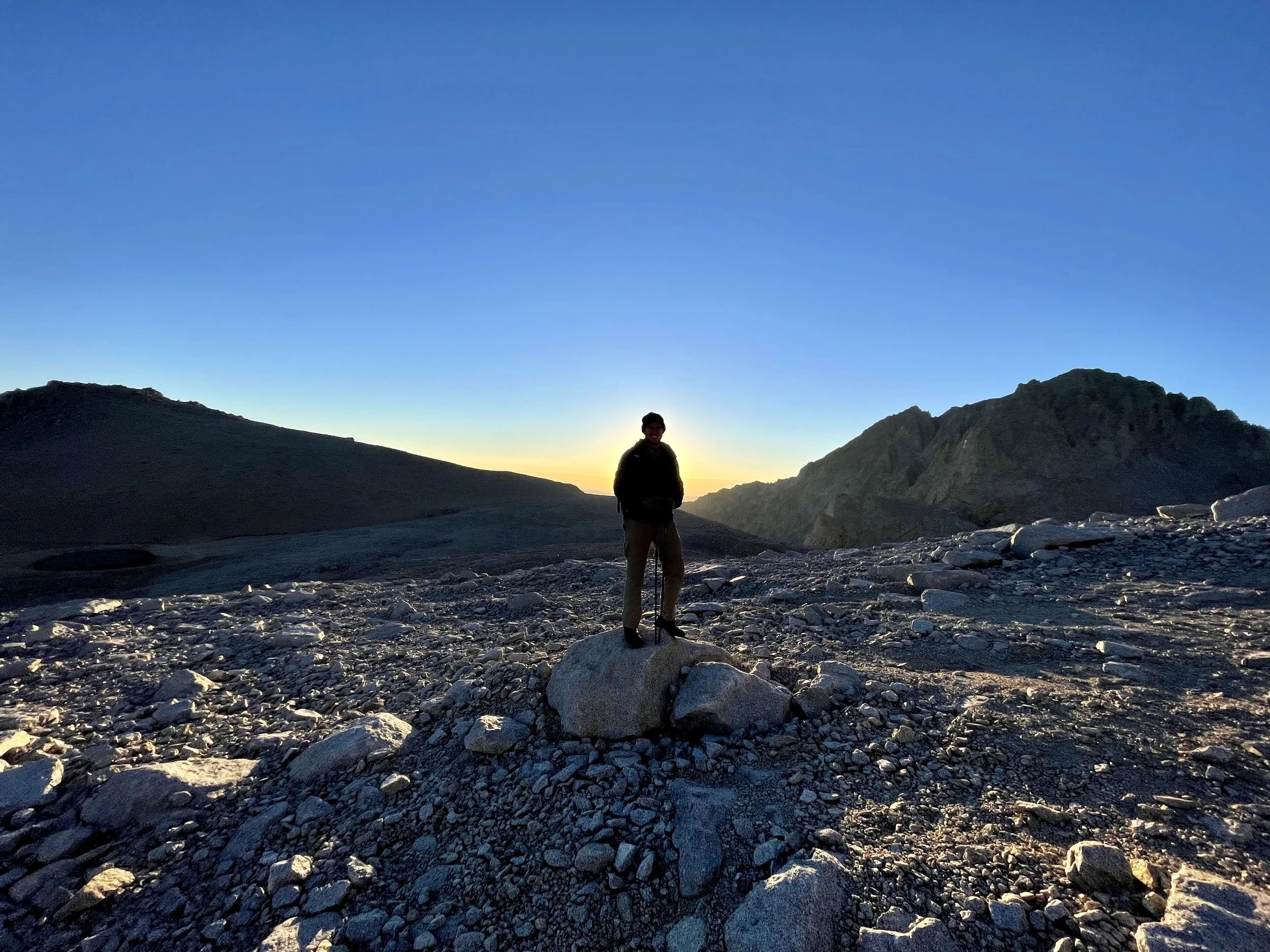
After dropping a car at Shepherd Pass Trailhead and leaving another near Tuttle Creek, we drove the third vehicle to Tuttle Creek Camp, where we spent the night. It was basic, but there was water and a toilet. I remember stepping out into the darkness and seeing the stars scattered across the sky—so many they barely looked real. I thought to myself, …so it begins.
The next morning, we began our hike from about 7,000 feet with the goal of summiting Langley that same day. We started in great spirits—catching up, getting to know our trip leader Travis, and, in my case, mentally going through every item in my backpack, wondering if there was anything I really could have left behind. Six days of food plus a bear can… no joke.
SummitPost described the Tuttle Creek route to Mount Langley like this:
“This trail starts at Tuttle Creek trailhead and goes to the peak of Mount Langley. It’s 4.5 miles one way (9 miles round trip). The trailhead is at about 6,900' and Mount Langley is 14,026', for a gain of over 7,100'. It is a very strenuous day hike or could be done as an overnight.
This is an alternate route to the more popular New Army Pass, and it gains more elevation, so it is more difficult. After the Ashram, the route veers up an avalanche chute. There was no indication of travel except right at the beginning, below the stone house, and near the peak. Expect solitude—no permits required for day hikes as of July 2007.”
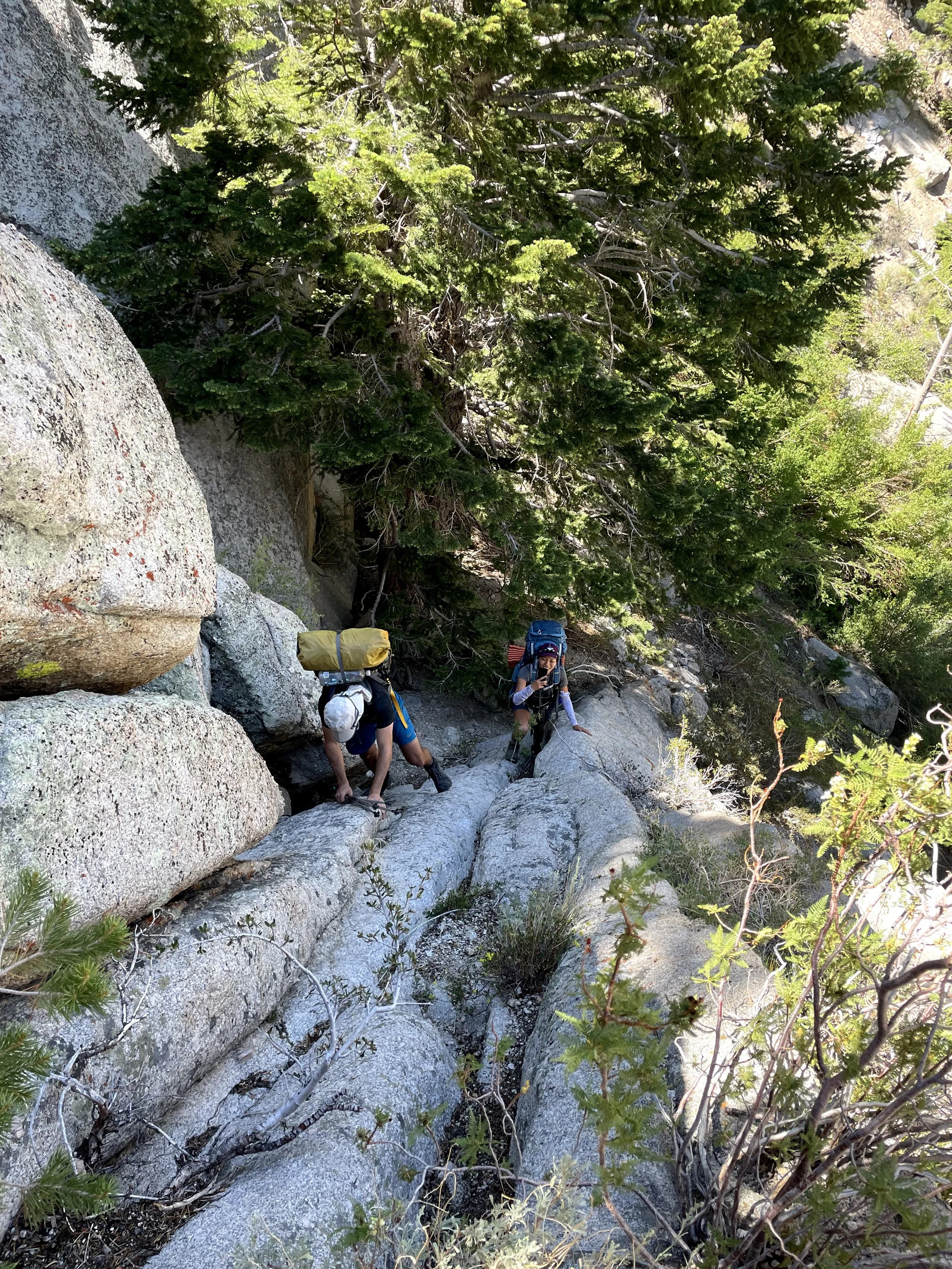
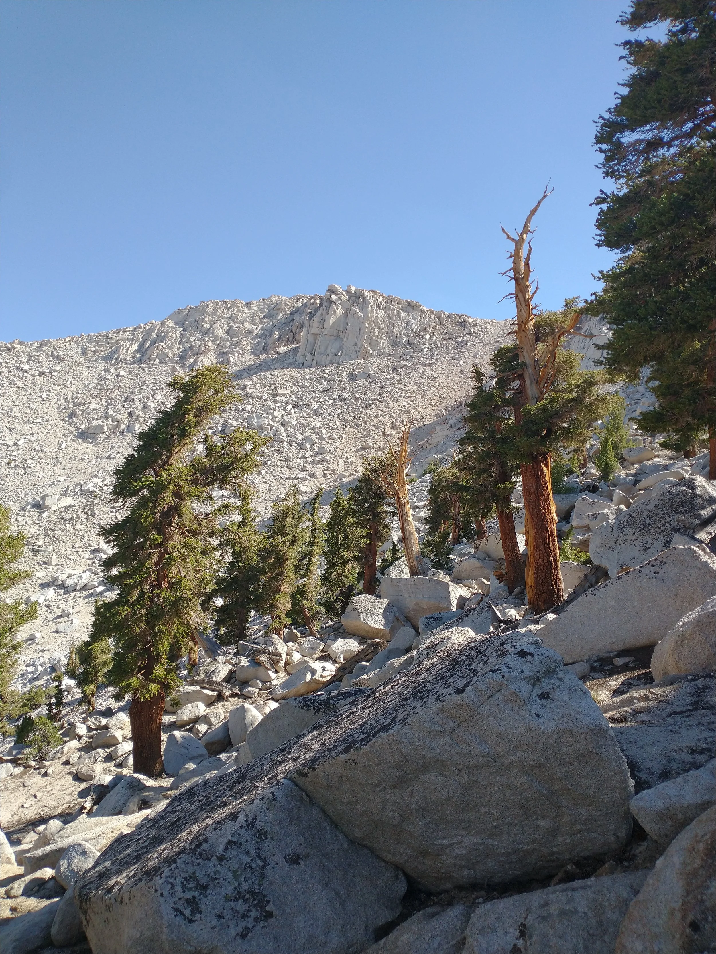
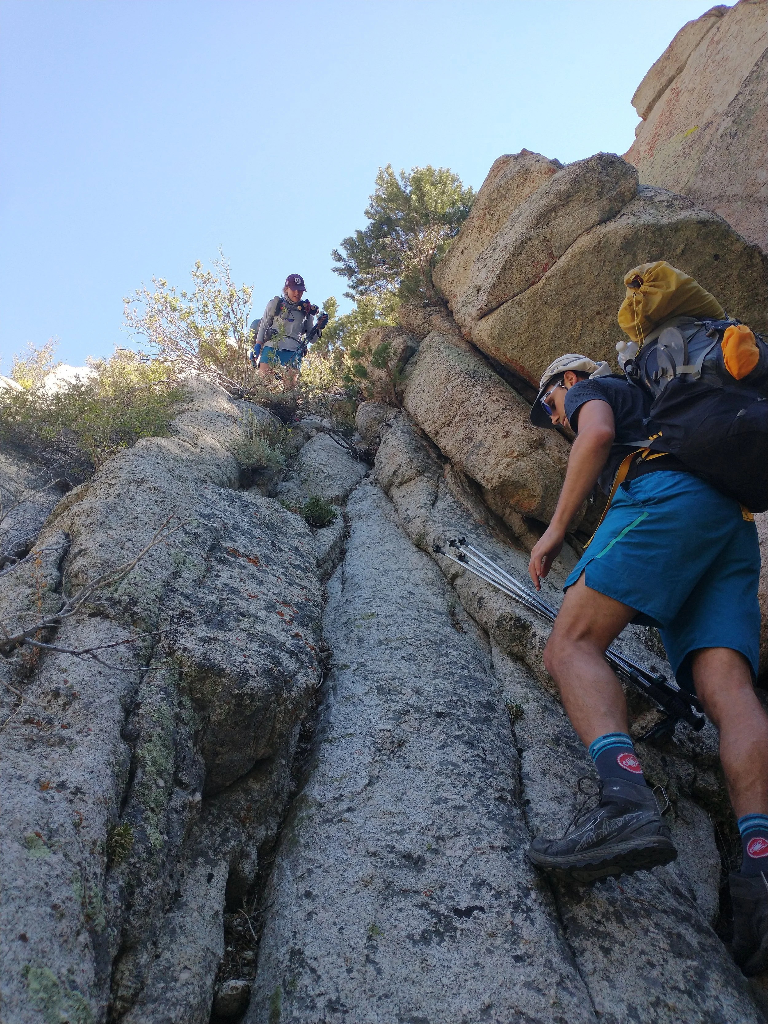
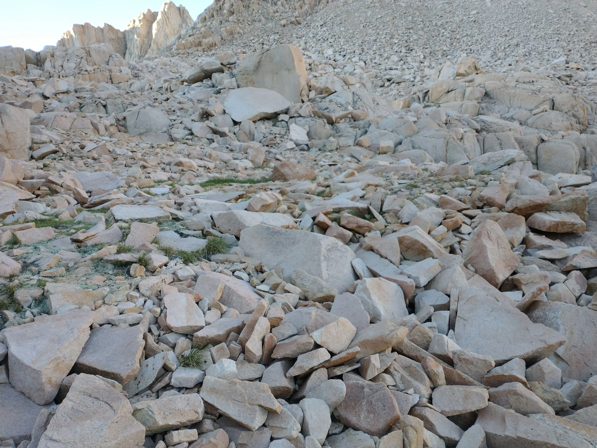
We took photos at the stone house, scrambled around the dry creek bed, and continued upward. As we gained elevation, we left the brushy sections behind and moved onto fields of giant boulders and tall, ancient trees. The July heat beat down on us the entire way. The sun felt merciless.
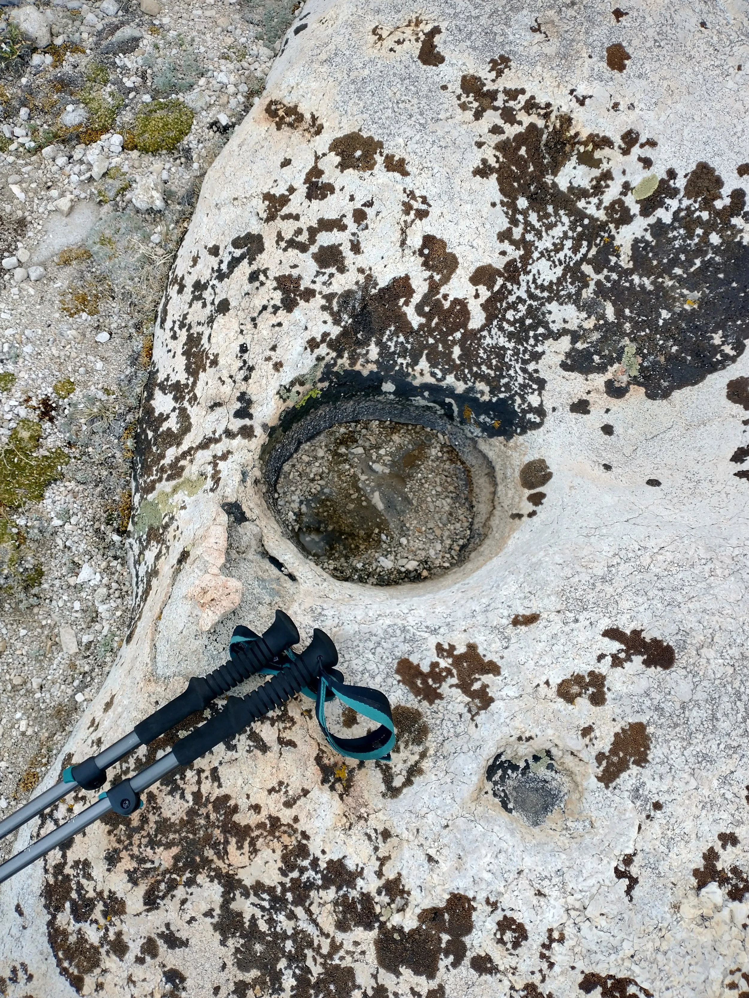
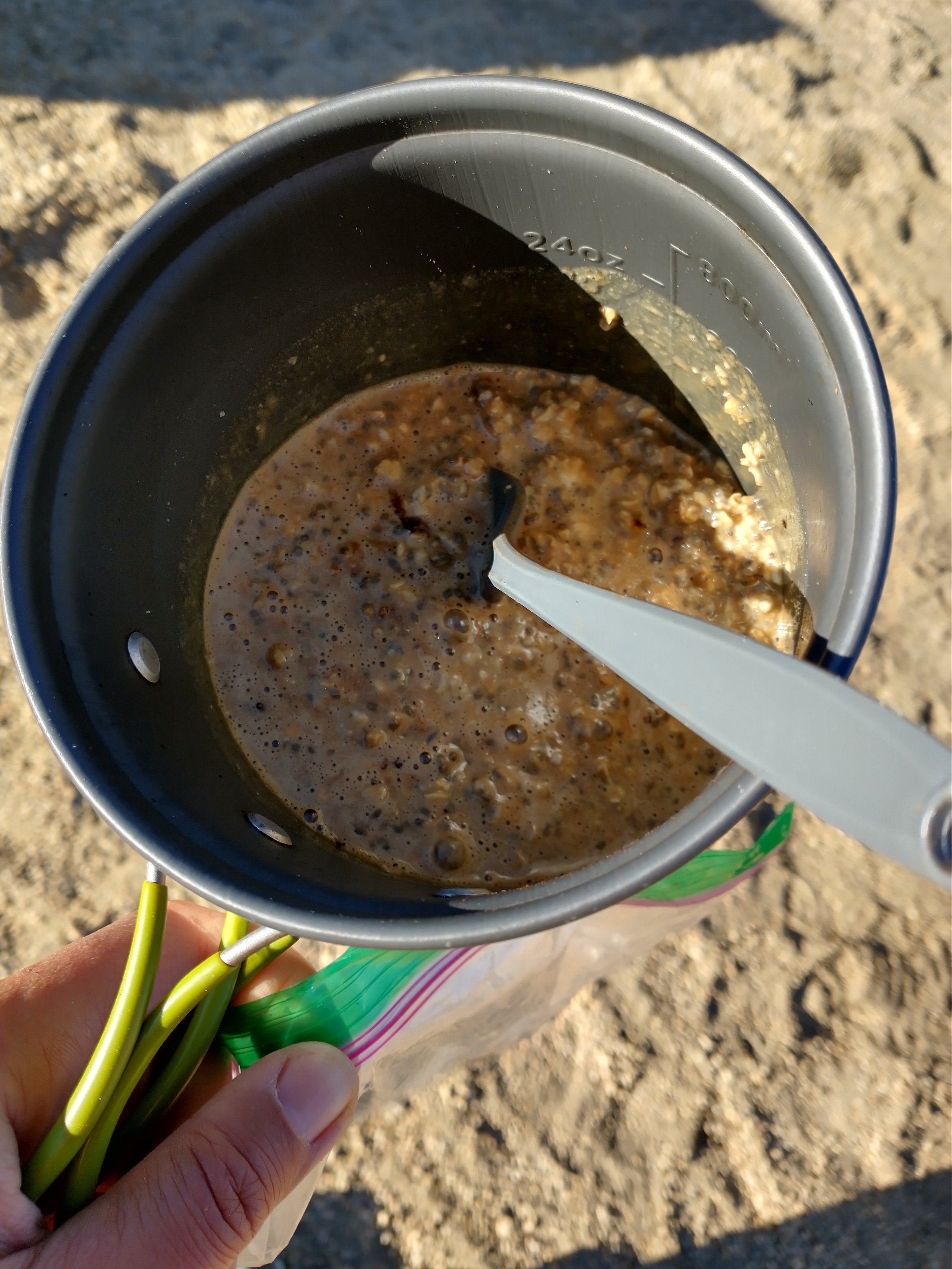
At some point in the evening—around 8:30 p.m.—we realized we hadn’t even made it above 12,000 feet. With daylight fading, we decided to drop our packs and figure out how to pitch our tents on (or between) the rocks. I remember watching my friends scoop water out of little puddles trapped in the granite using the Jetboil pot. Total dirtbag style. We filtered it, made dinner, and hoped the next day would be easier.

Day 2
On To
Mount Langley

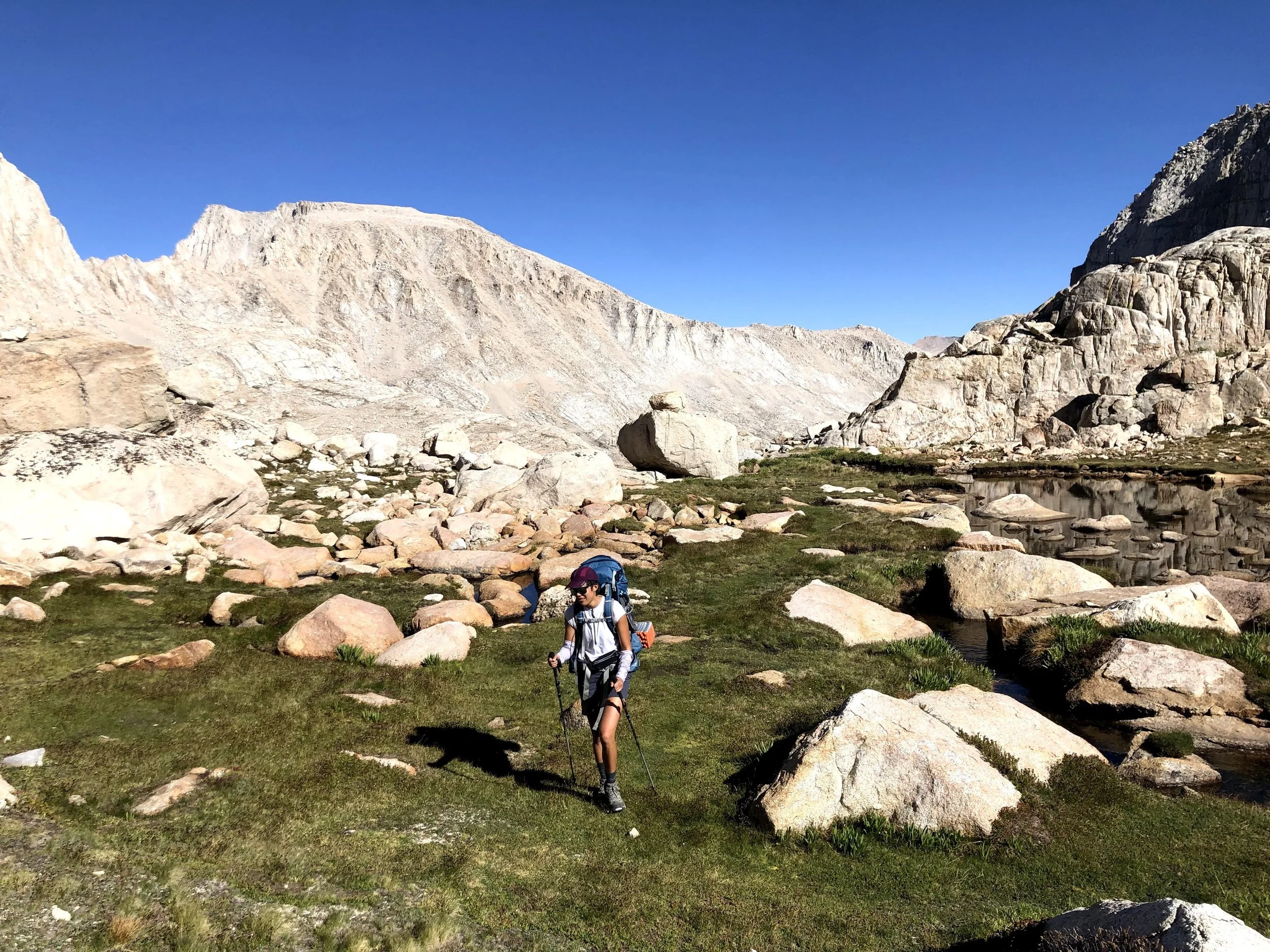
At 6 am, we crawled out of our tents, woken up by the sun beating down on us. A quick breakfast, a quick pack-up, and it was time to move. By 7:30 am we were already hiking again. I could definitely feel the miles from the day before in my legs, and the thin air at elevation wasn’t helping. The group was strong and moving ahead of me as we made the final push toward Mount Langley.
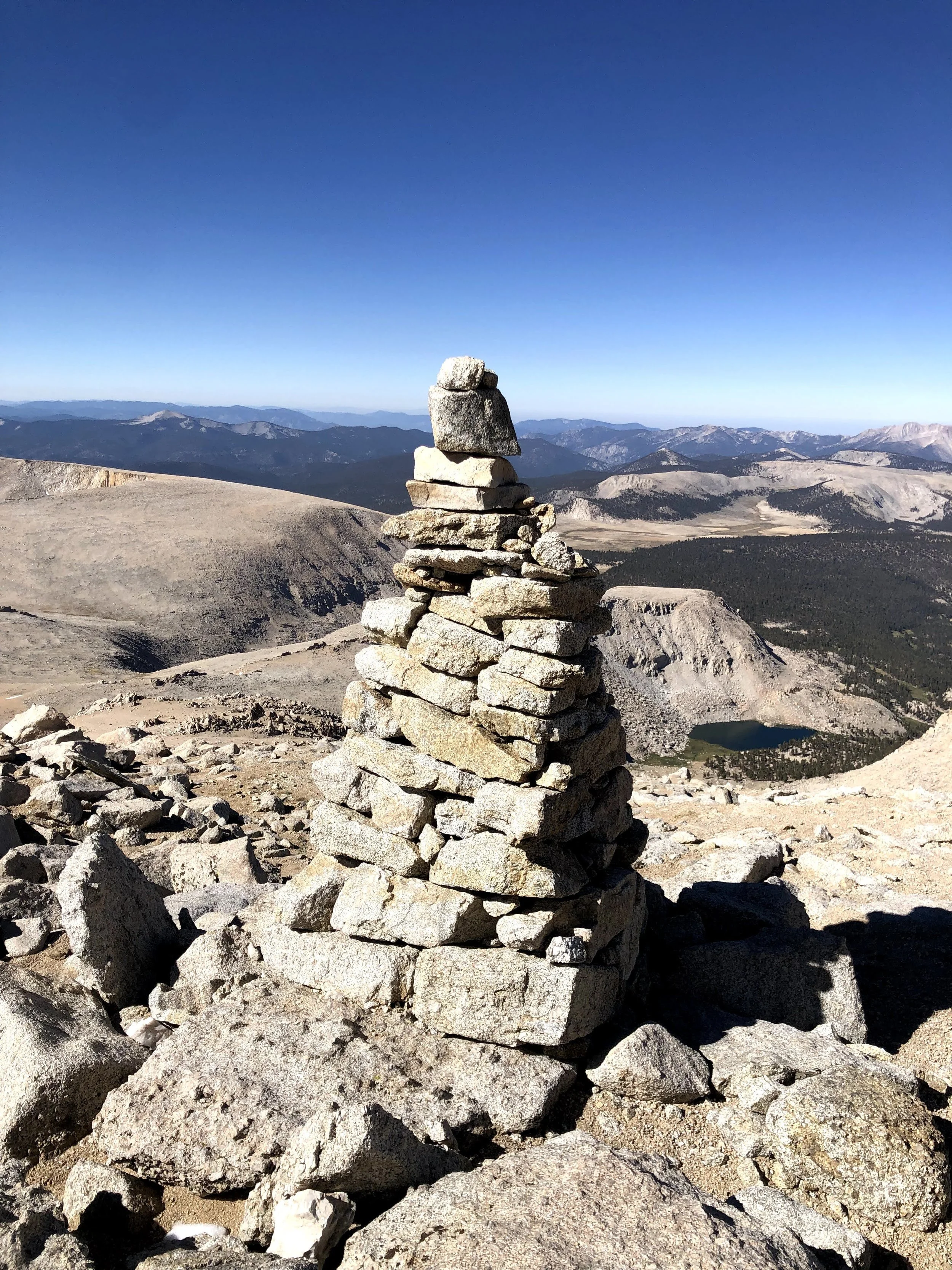
Along the way, I noticed cairns for the first time—little stacks of stones built by hikers to mark the route. I had never seen them before and thought they were the coolest thing: simple, quiet guides left behind by strangers.
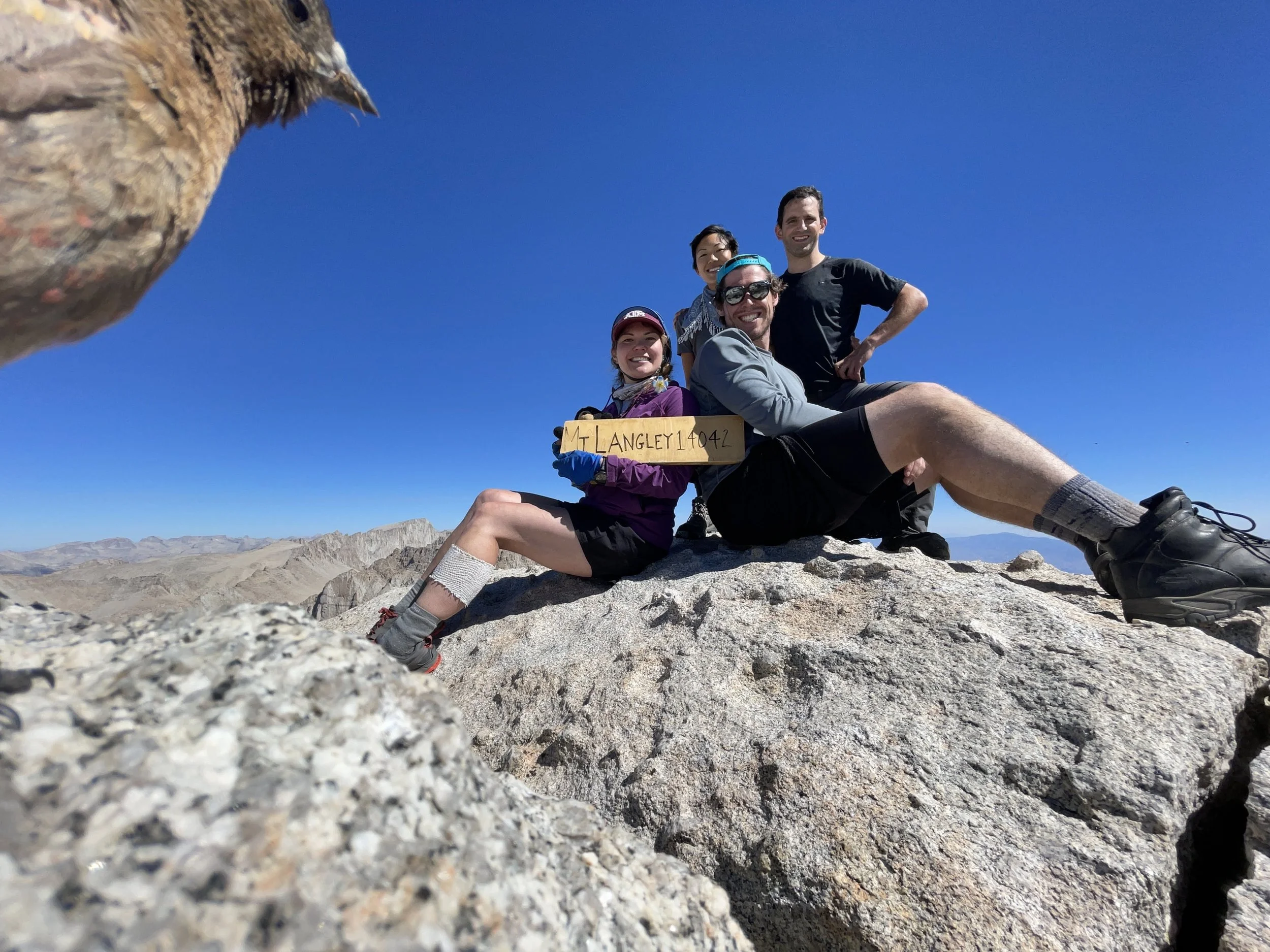
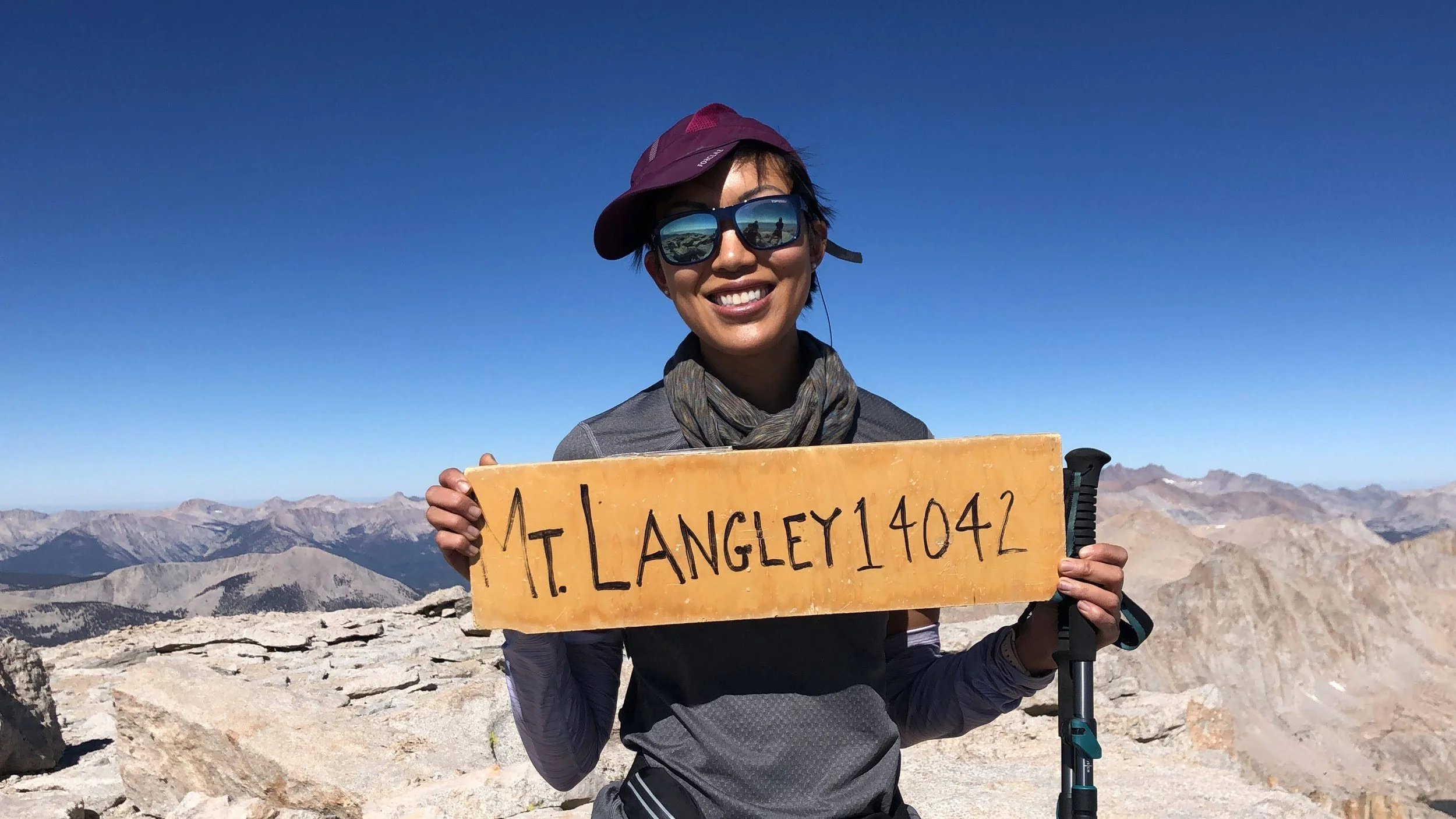
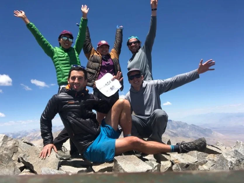
At 9:30 a.m., we were on top of Langley! We set up a phone on a timer, posed for our summit photo, and just at the perfect moment, a bird flew straight through the frame and photobombed us. To this day, it’s the only time a bird has ever photobombed me—and honestly, it nailed the timing.
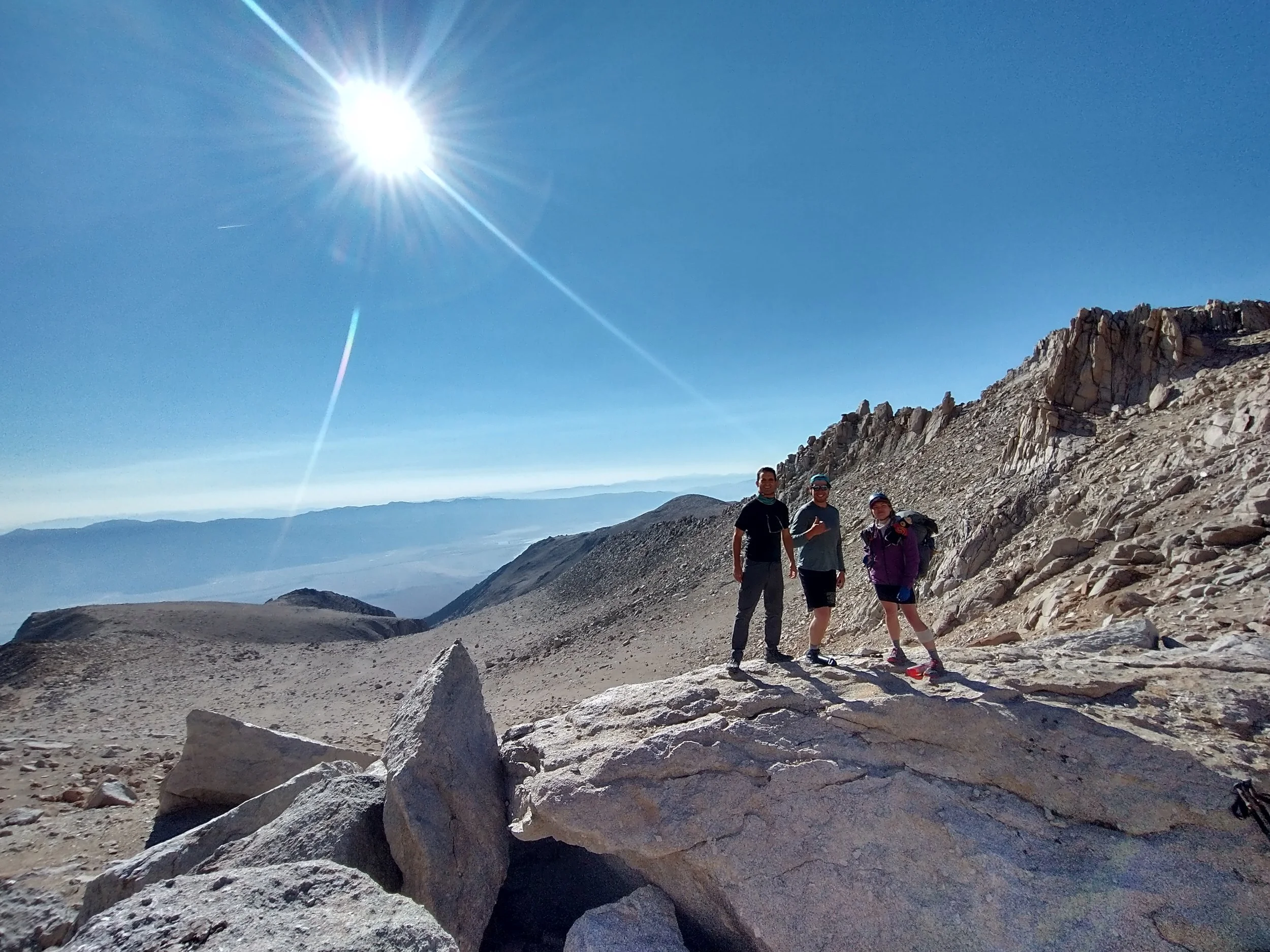

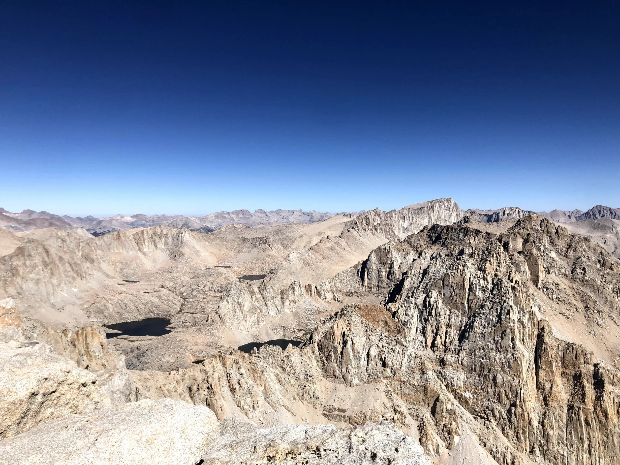
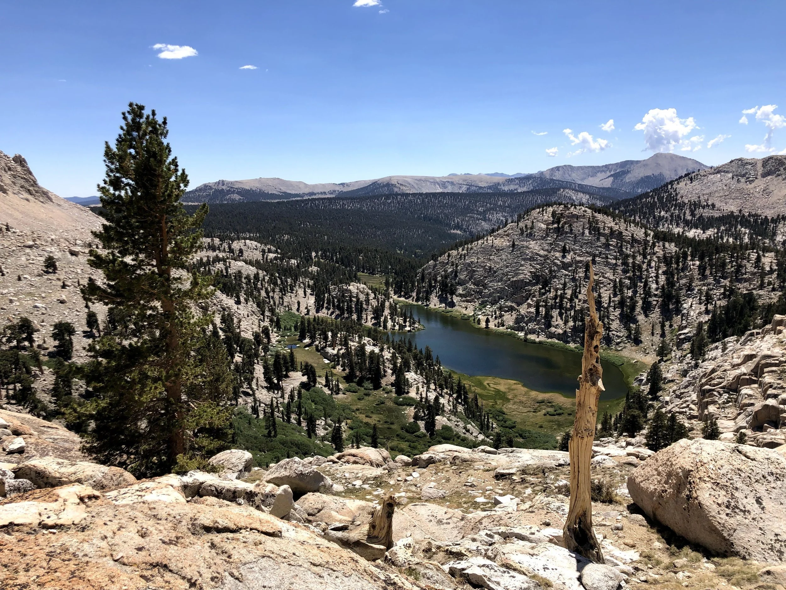
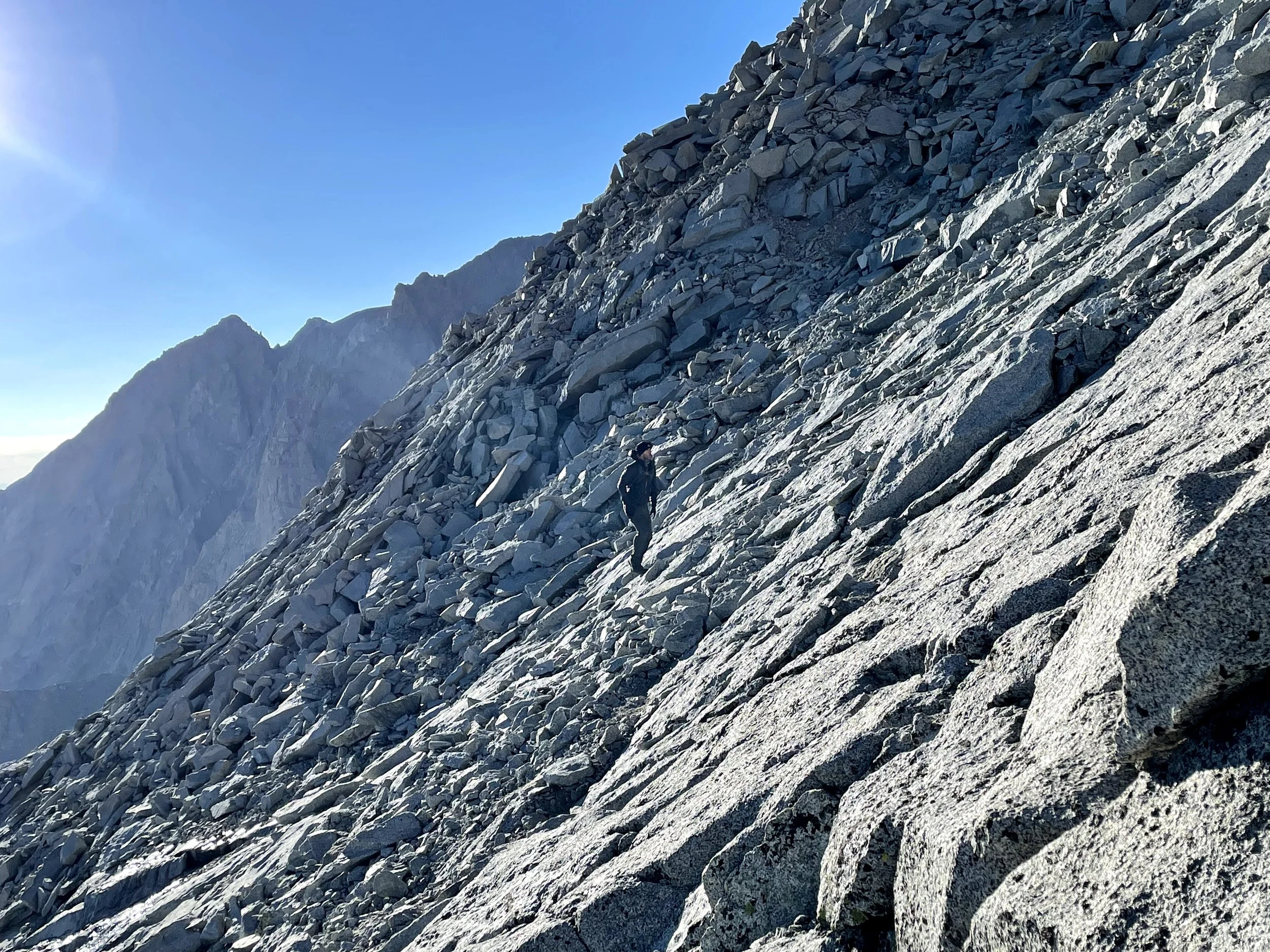
The hike after Langley led us down toward Crabtree Pass.
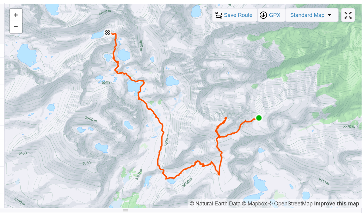
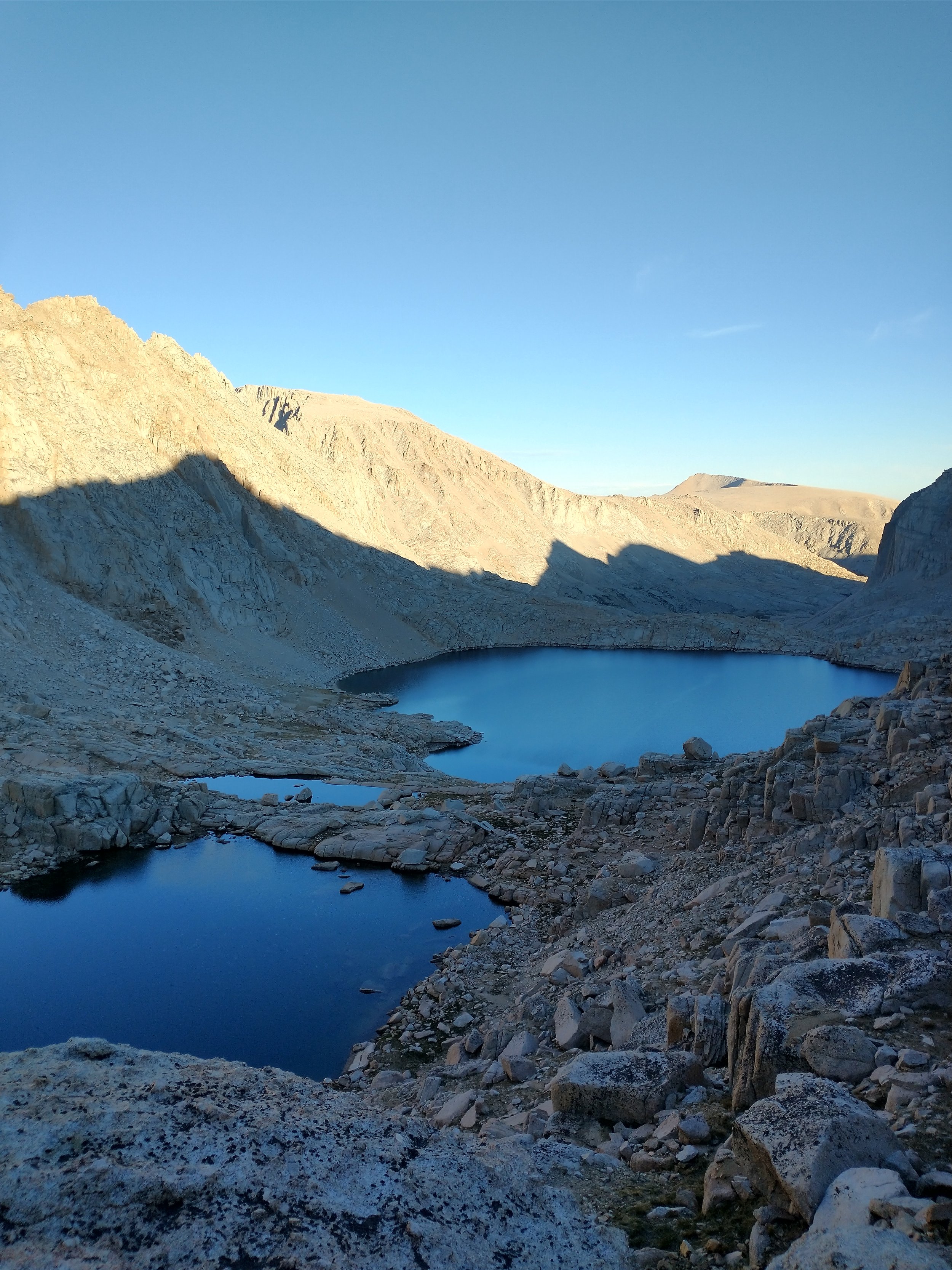
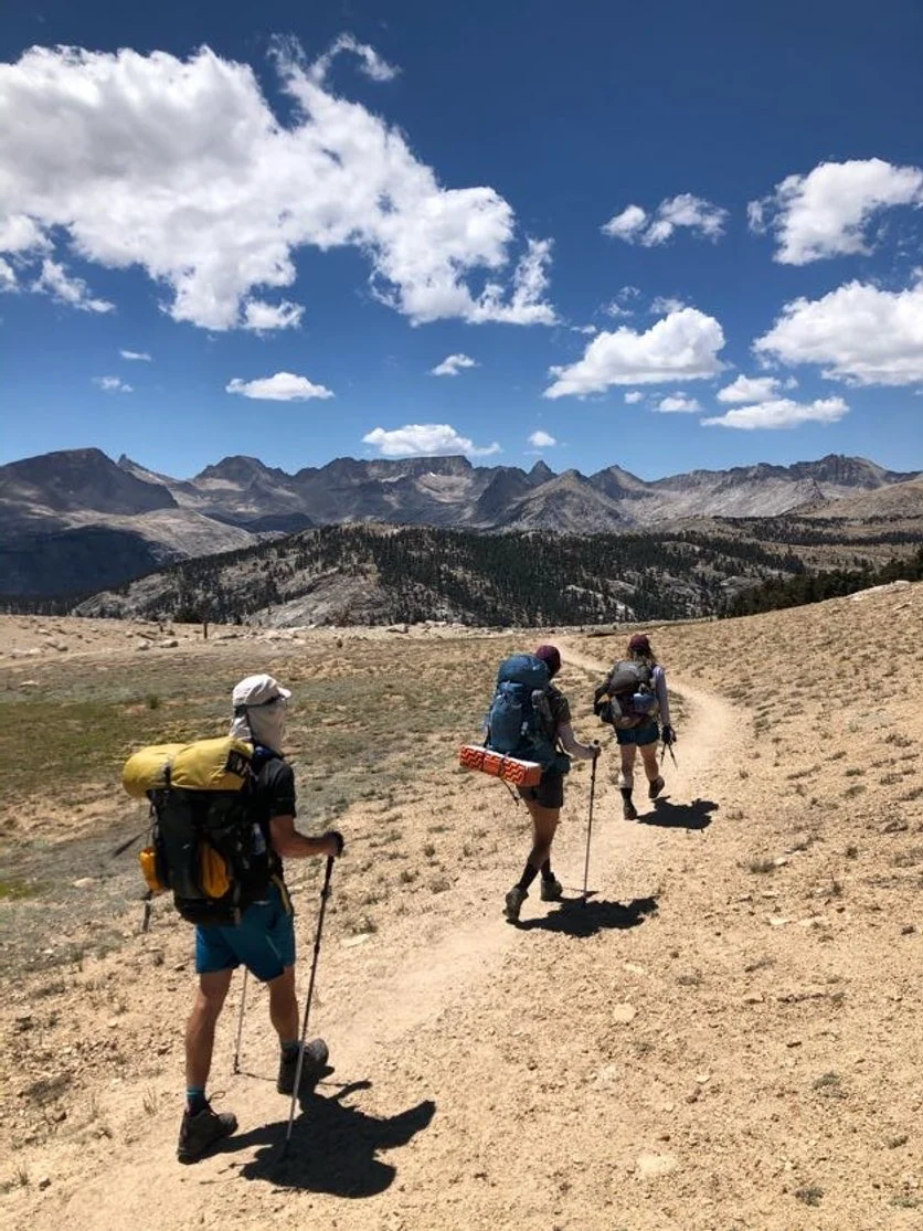
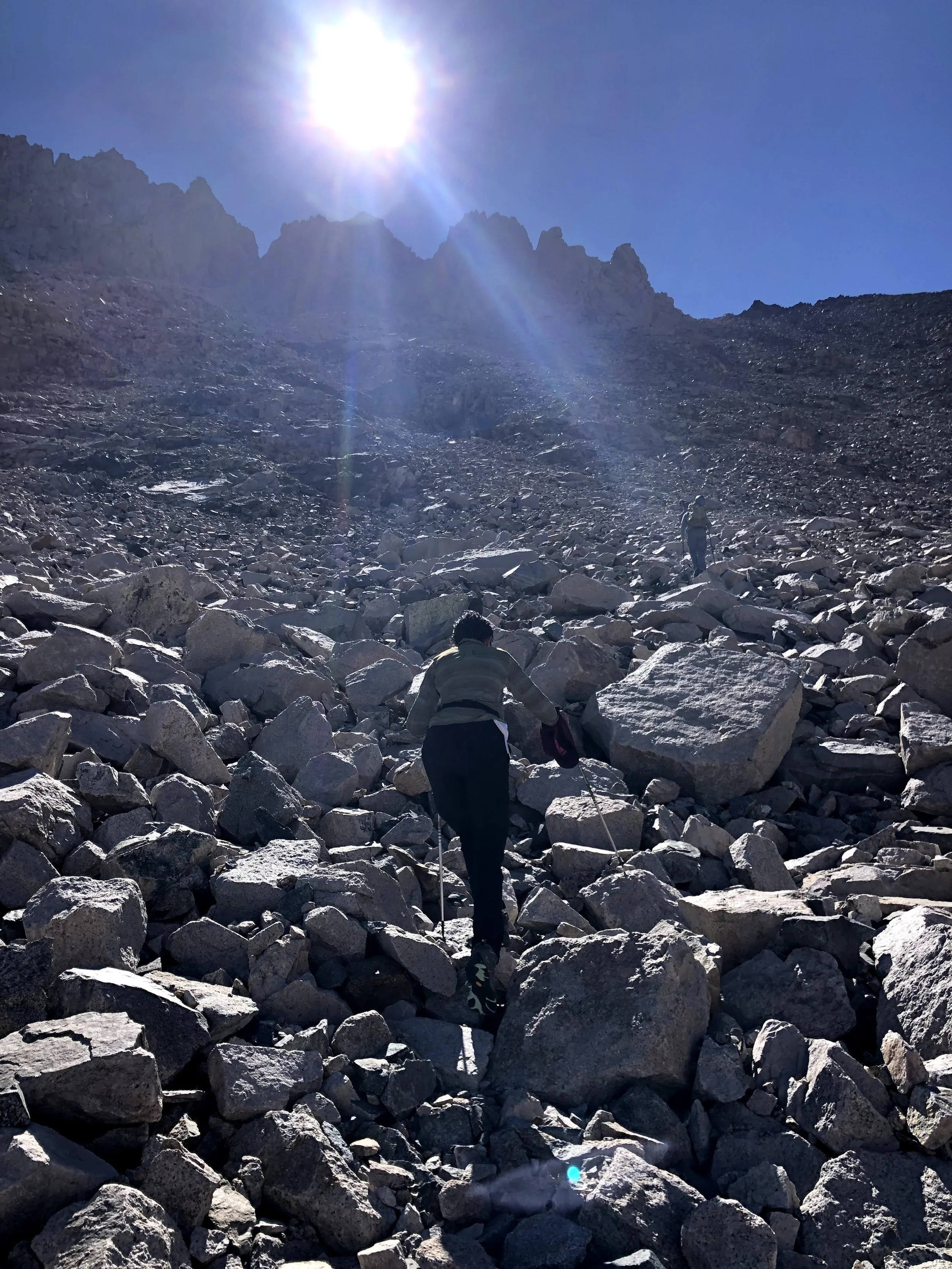
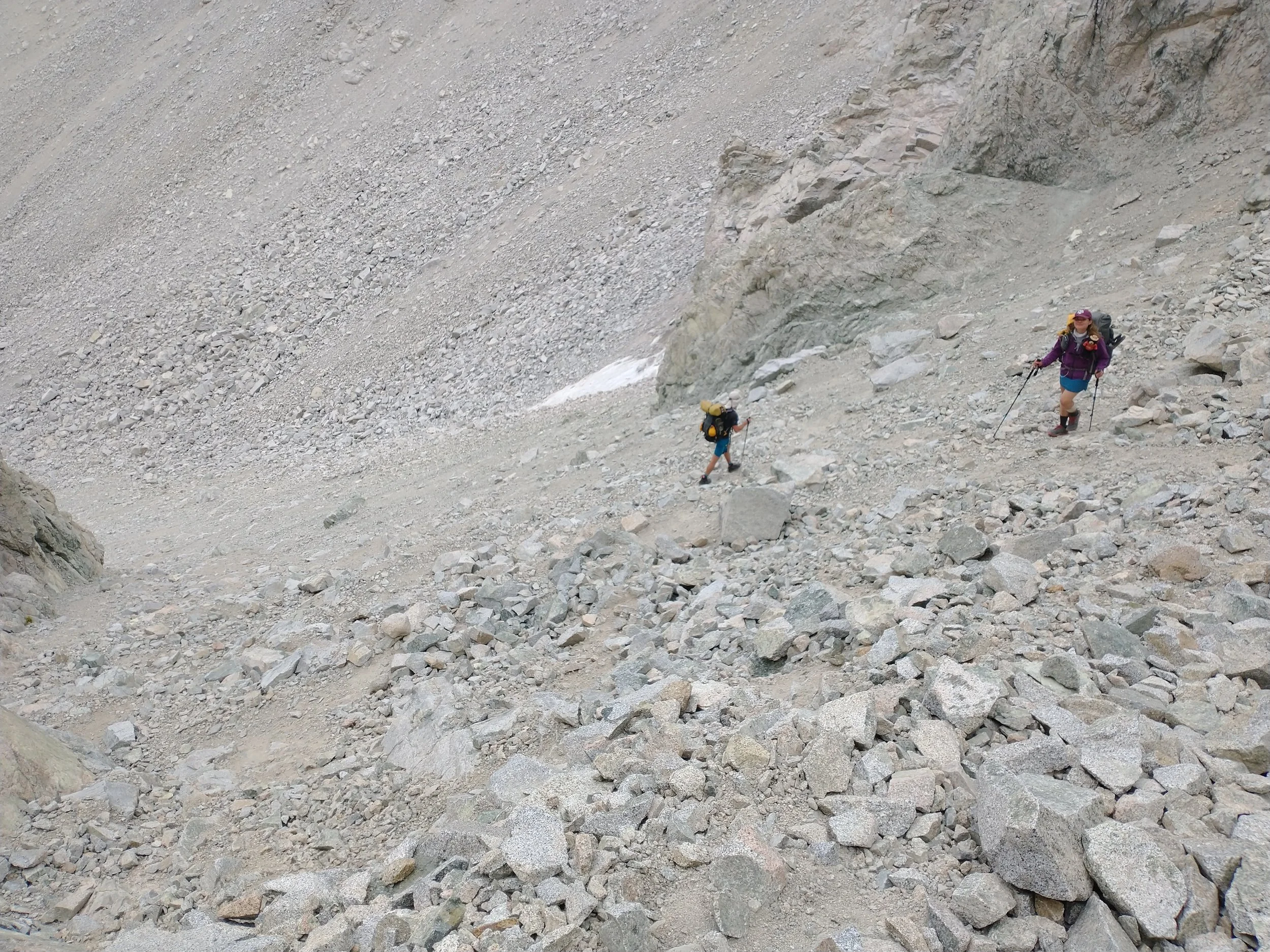
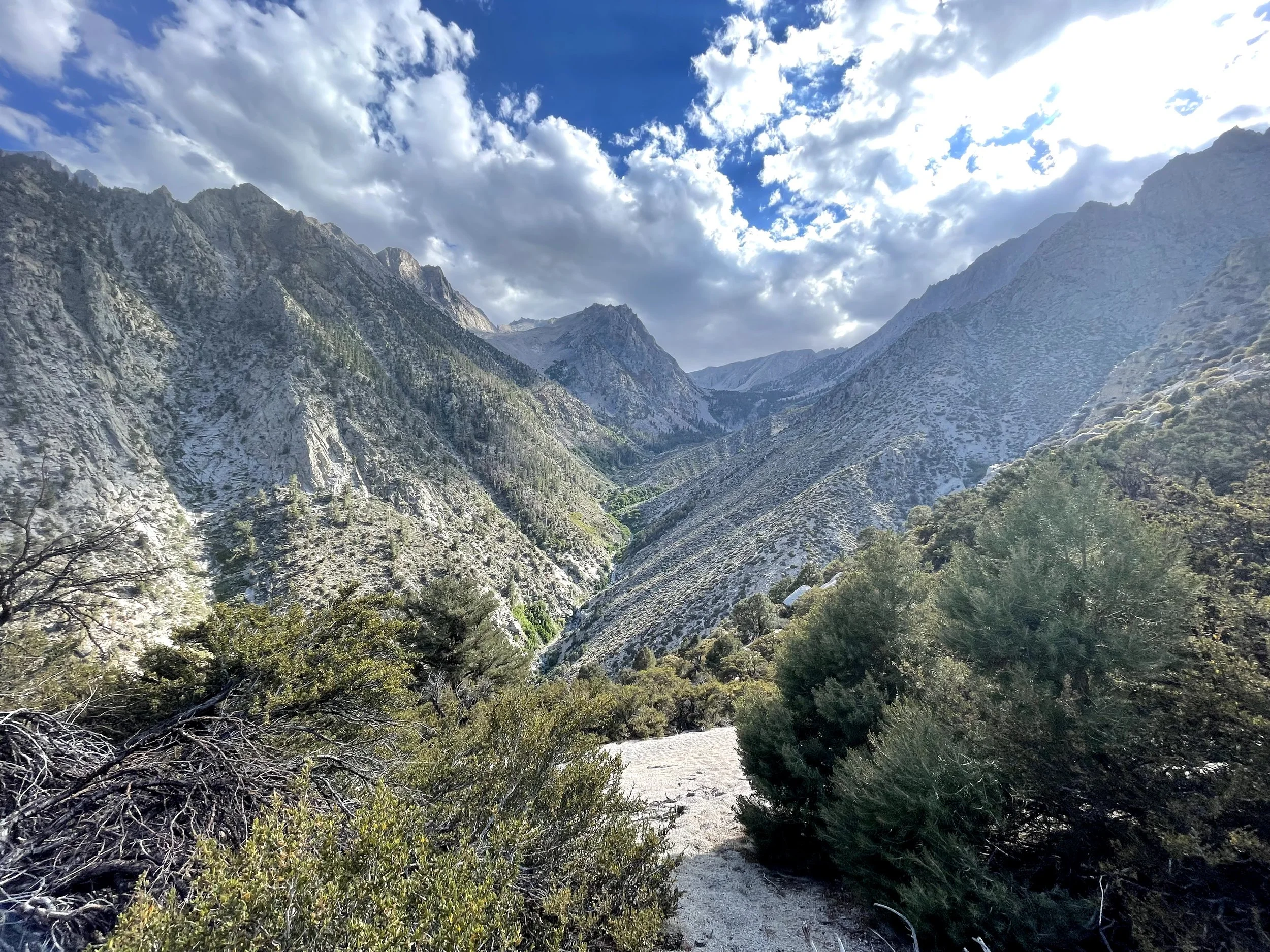
The route from Langley to Crabtree Pass is no joke. It involves descending a steep chute into the Miter Basin, navigating mostly cross-country terrain, and then hiking past Sky Blue Lake toward the pass. It’s a strenuous route that requires navigation skills, comfort with loose scree, and a willingness to scramble. Most people take two to three days to travel through this section of the Sierra Nevada. We were doing it… in the middle of our already intense trip.
At one of the lakes, we took a quick dip. The cold water was a shock but felt incredible after the heat and effort. The boulder hopping felt endless—giant rocks, one after another, with barely a break for your feet or your brain. It was a one-way route, though, so the only option was forward. Travis and Alicia were ahead, and I slogged behind. I suggested splitting up and meeting them at camp, but eventually I caught up, and we all arrived together.
By then, I was mentally and physically exhausted from the boulder fields, the constant route-finding, and the huge first day climbing straight up with six days of food on my back. Knowing what was ahead, I desperately hoped the upcoming section would be easier.
The next day was supposed to be a big one—climbing loose rock to reach Whitney and Mount Muir. As much as I wanted those summits, I didn’t want to burn myself out and risk not finishing the trip. So I suggested that my partner at the time and I take the more direct route, skip Whitney and Muir, and have a rest day to meet the others after they tagged the peaks.
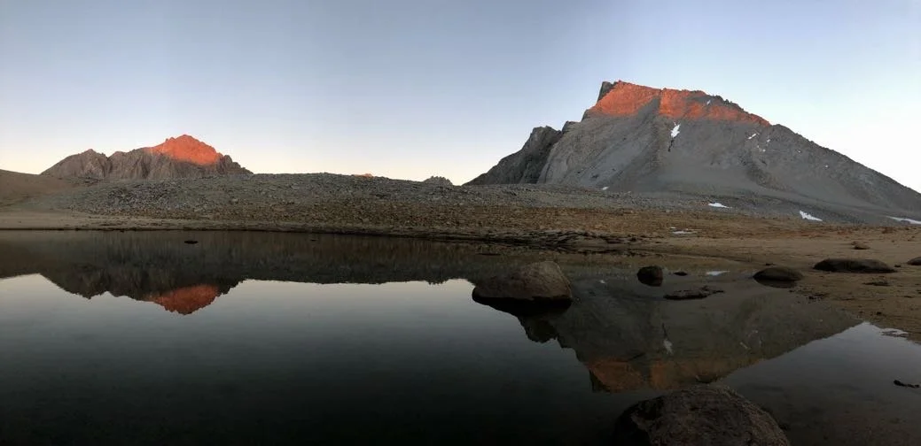
That evening, we watched the sun set around 9 p.m. over Crabtree Lakes. The granite glowed orange, the water turned glassy, and for a moment everything felt peaceful again. Tomorrow would be easier, I thought. I felt hopeful.
Day 2: Mt. Langley to Crabtree Pass – 4,111 ft gain / 10.60 miles


Day 3: Discovery Pinnacle, Muir, Whitney - 3,031 ft gain/ 8.44 miles Easier day to Crabtree Meadow Campground
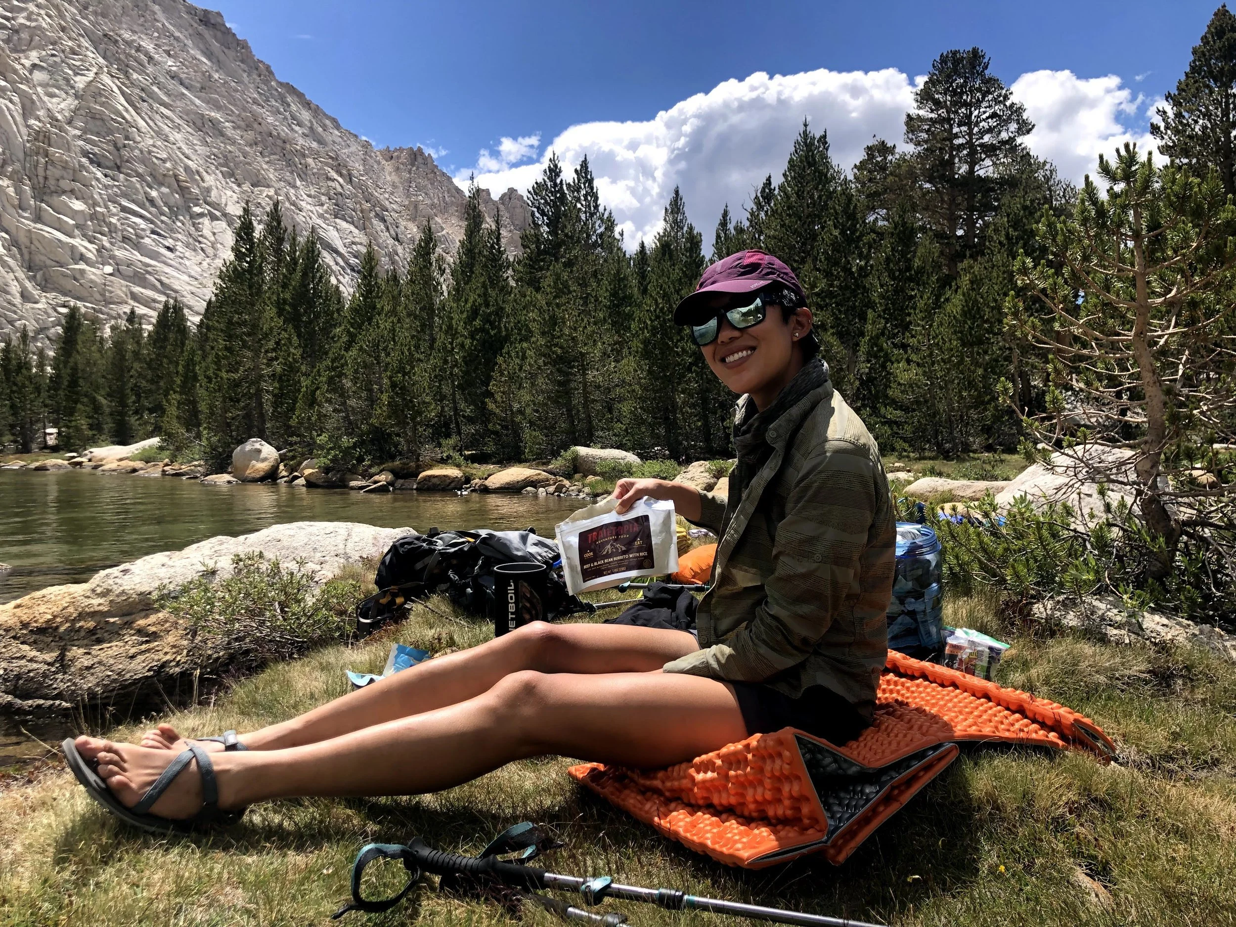
The others headed out early that morning, while we enjoyed a glorious 10 a.m. start. It felt amazing. A slow, easy day wandering through the Sky Blue Lake area—exactly what my legs needed.
We stopped by the lake for some improvised fishing attempts (no rod, just useless hope and creativity), took a much-needed bath, reorganized our food, and simply relaxed. Not much hiking today, but honestly, that was perfectly fine with me. My body was grateful for the break.
-
![]()
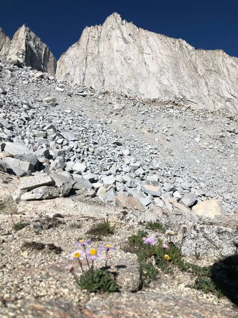
Beautiful views
-
![]()
Not everything was UL. But my heart was full.
-
![]()
Playing in the water
-
![]()
Lake fun
-
![]()
Lunch time
-
![]()
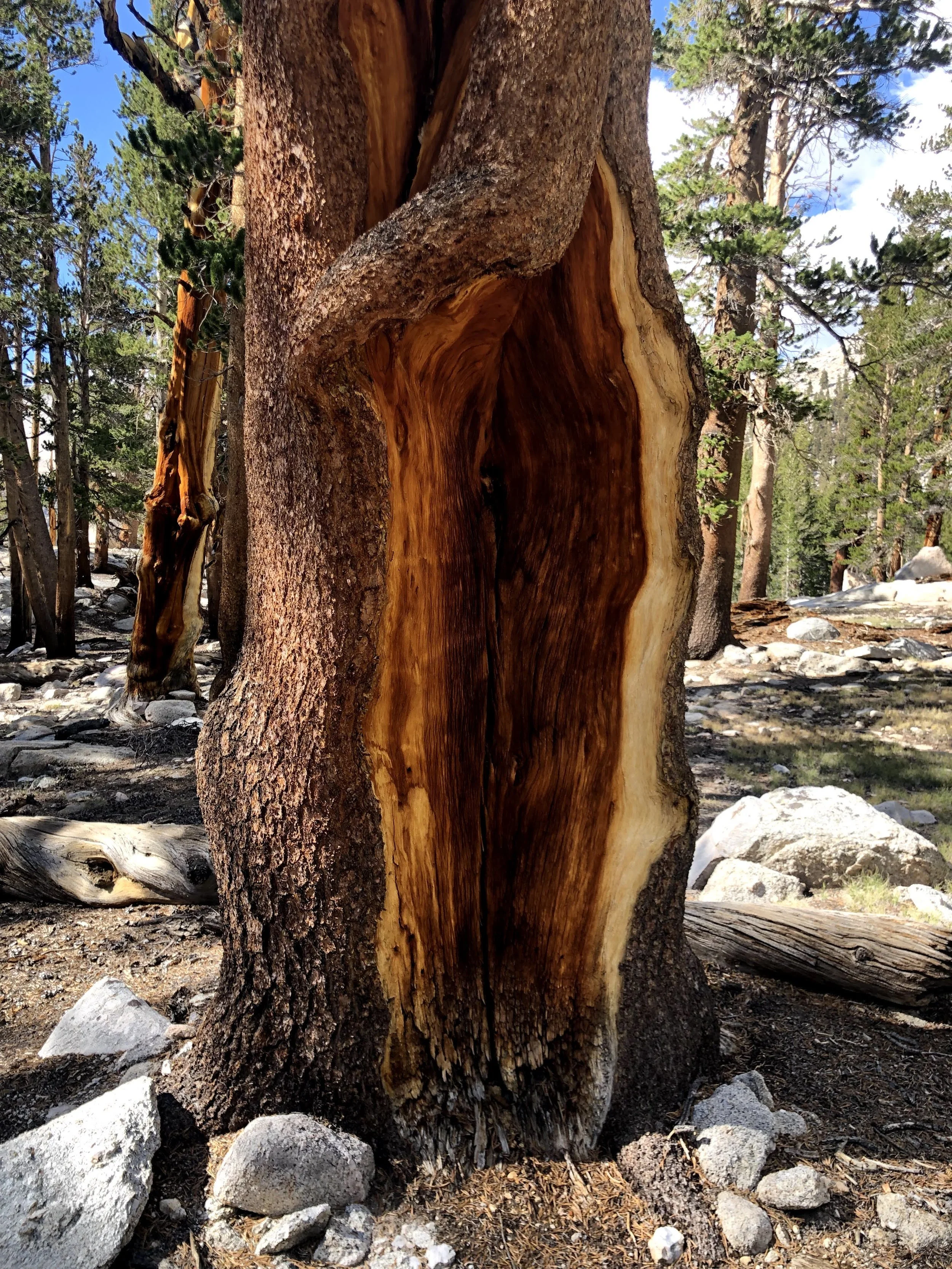
Cool tree
-
![]()
The meadow
-
![]()
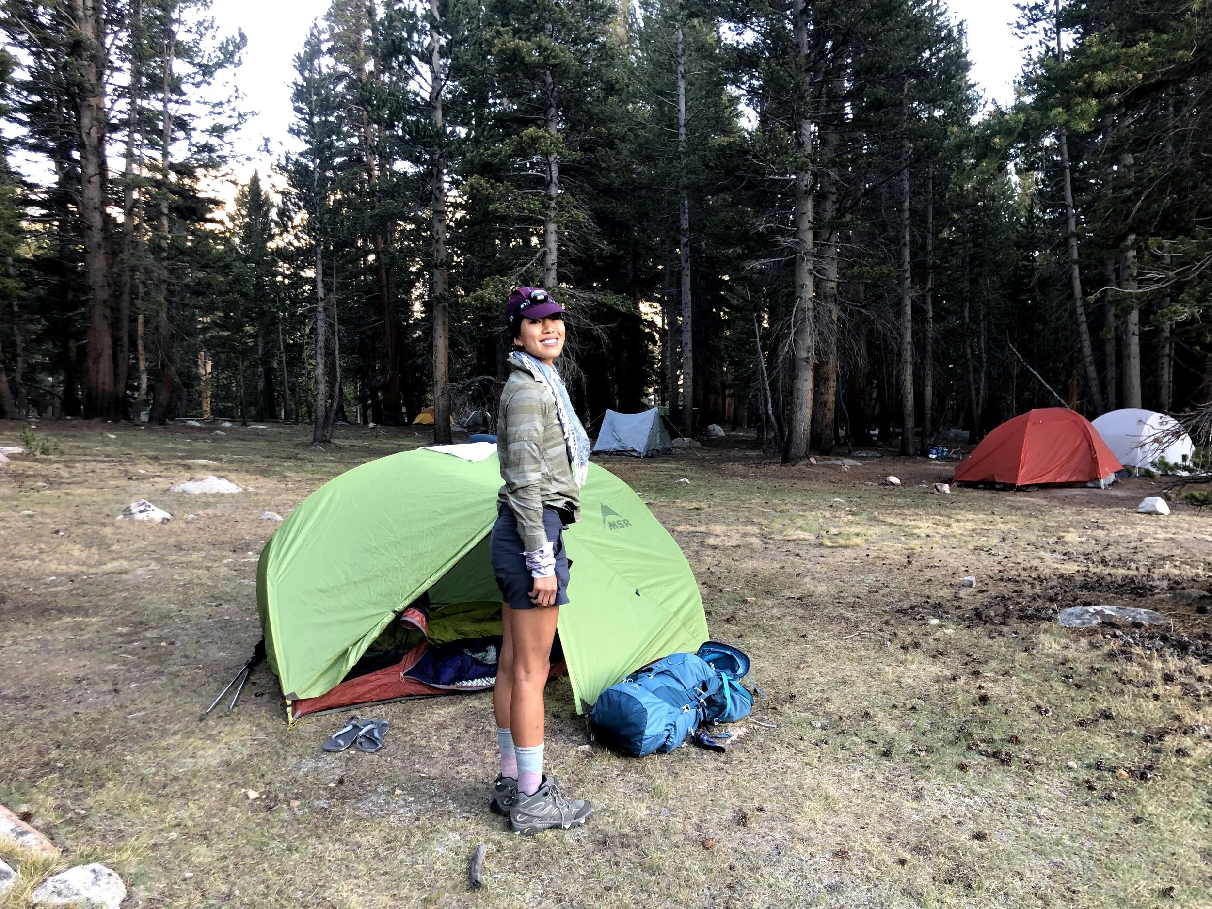
Crabtree Meadow Camping


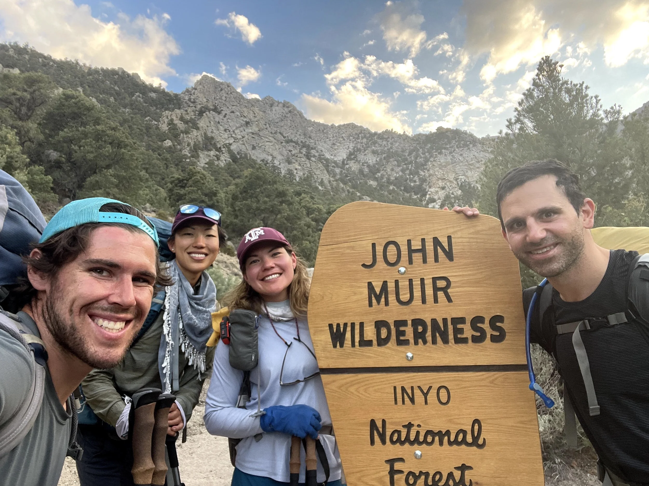
Day 4
PCT Trail onto Williamson Bowl
This morning we reunited with the rest of the group, who had climbed Muir and Whitney the day before. I’d been a little nervous about whether our plan would actually work—whether we’d all be able to meet up again without any issues.
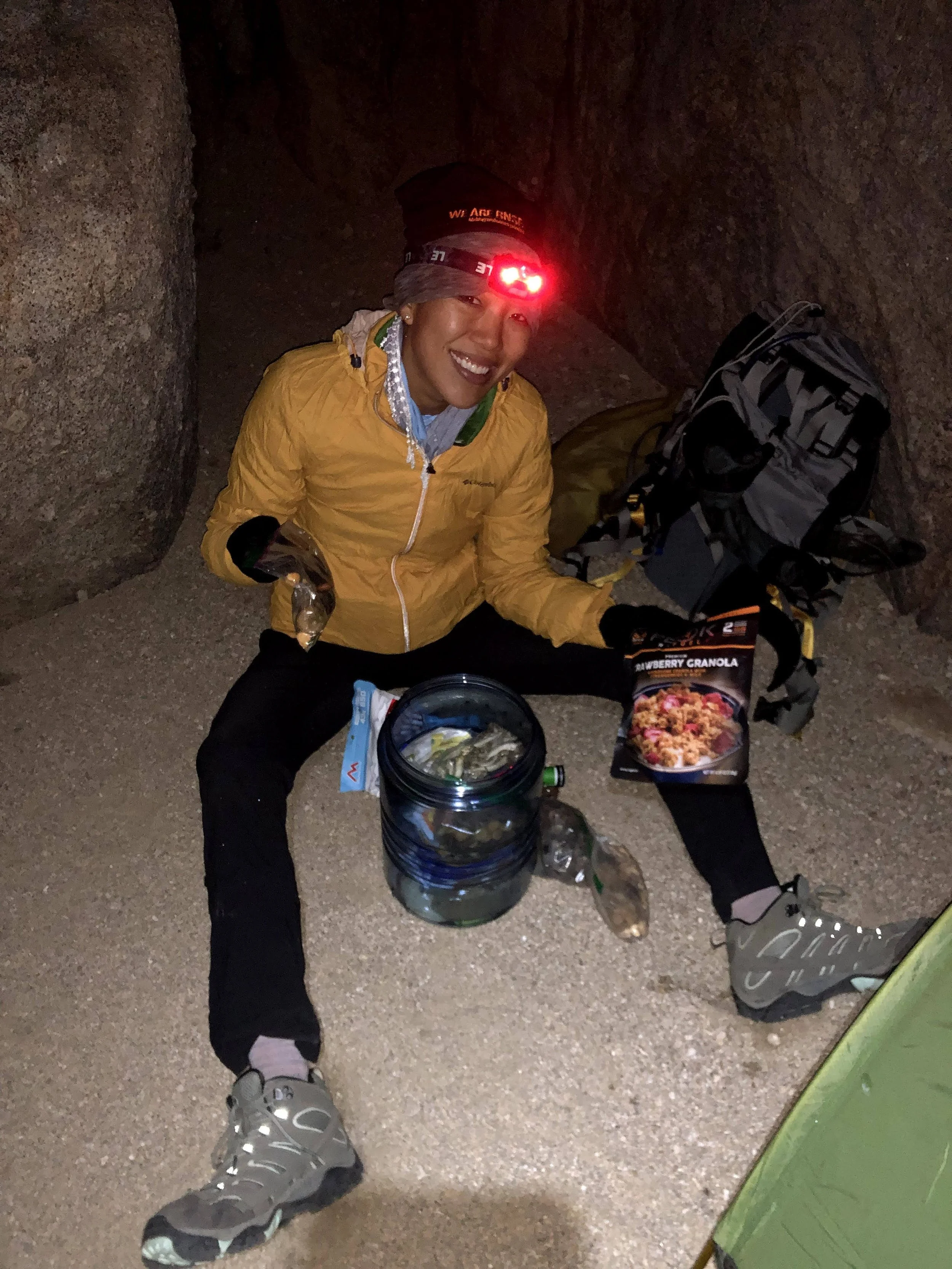
We had breakfast first. I had repackaged all my meals for the trip, so at this point I was basically eating out of the same bag every single day. After eating, we sat at our planned meetup spot and waited. I felt a wave of relief when everyone appeared right on schedule.
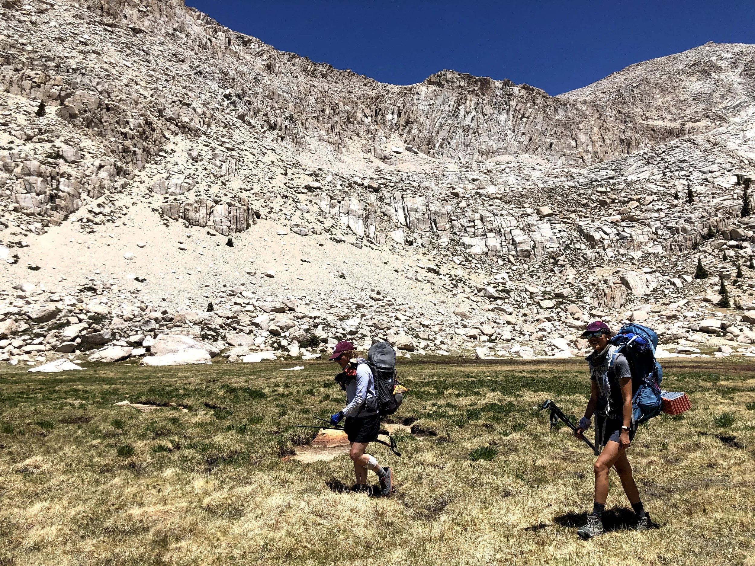
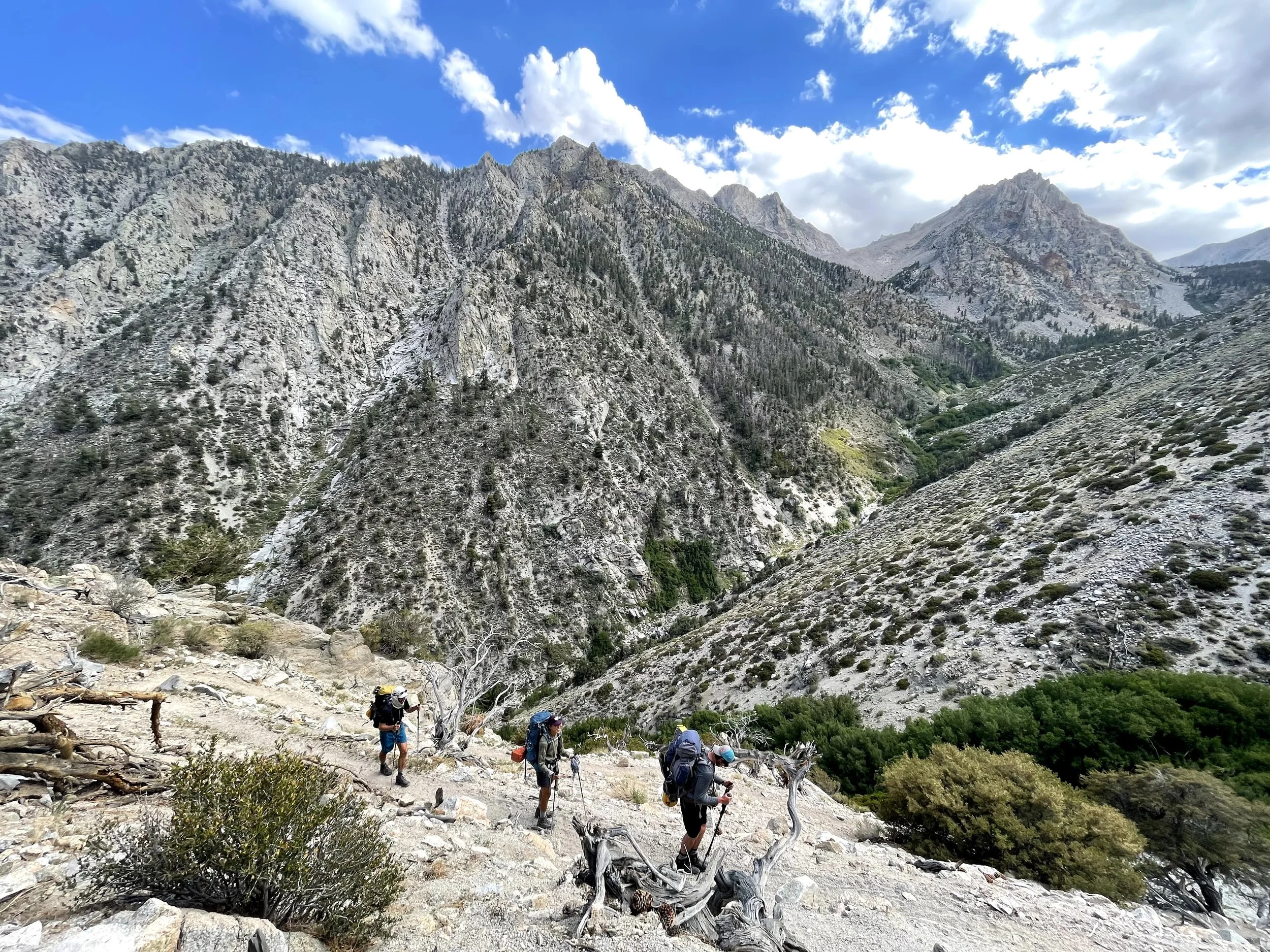
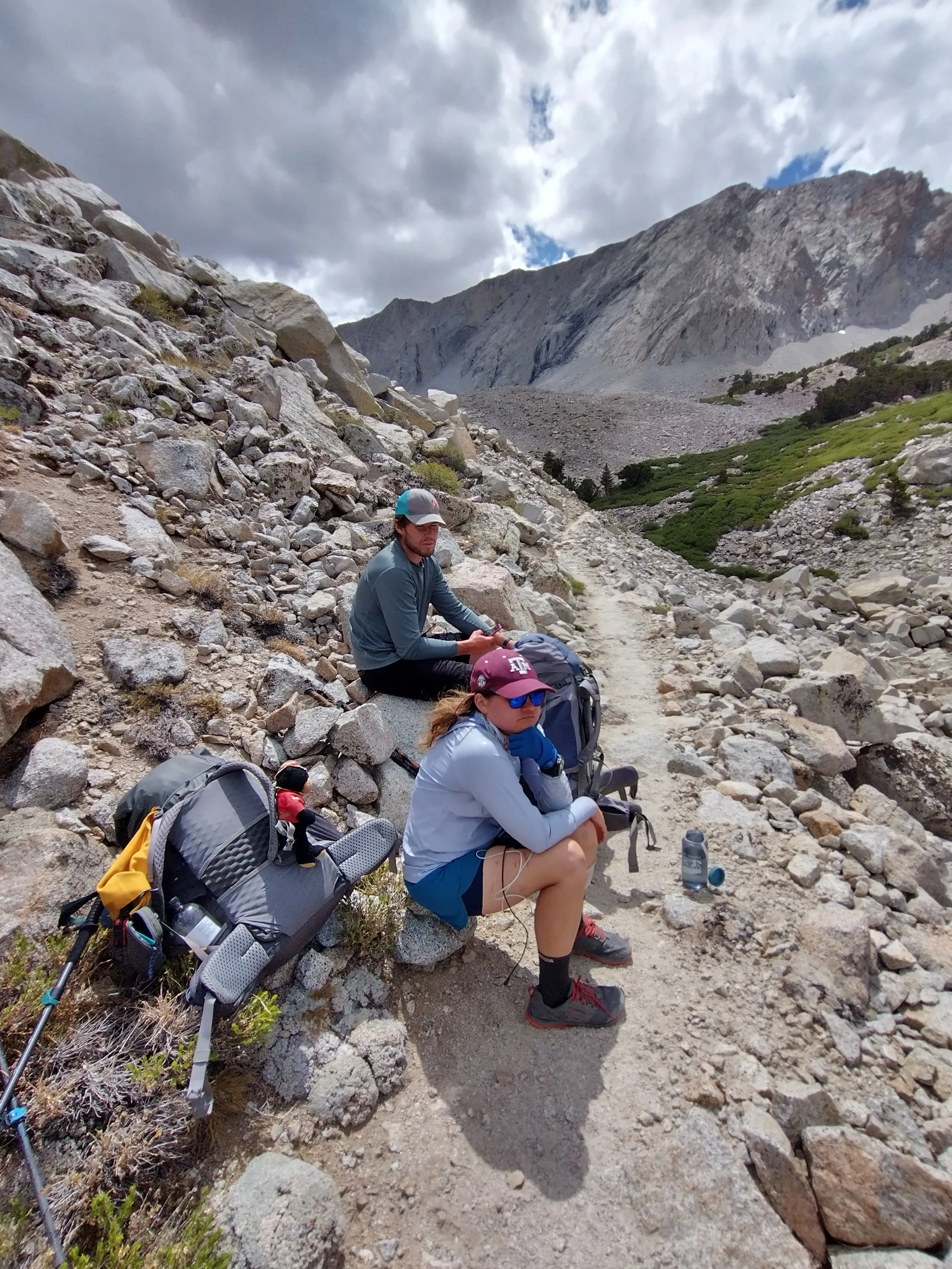
The plan for the day was to hike and camp near the base of Mount Williamson, so we’d be positioned for a big summit day tomorrow. I felt pretty good after the rest day, but the cumulative strain of carrying a heavy pack at elevation was definitely starting to weigh on my shoulders.


We made a few stops along the way. I remember one big lake with shallow water where the boys waded in to cool off. We were still hovering around 10,000 feet all day, and I definitely wasn’t fully acclimated—altitude has always hit me a little harder than most.
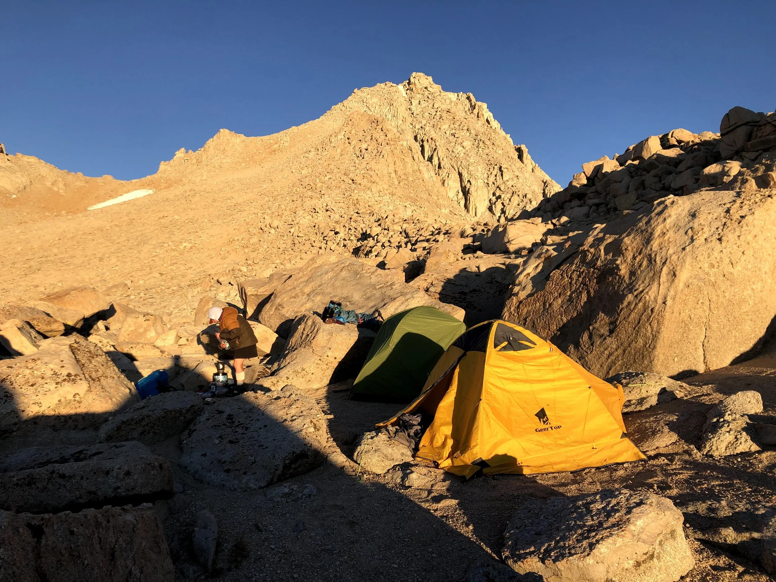
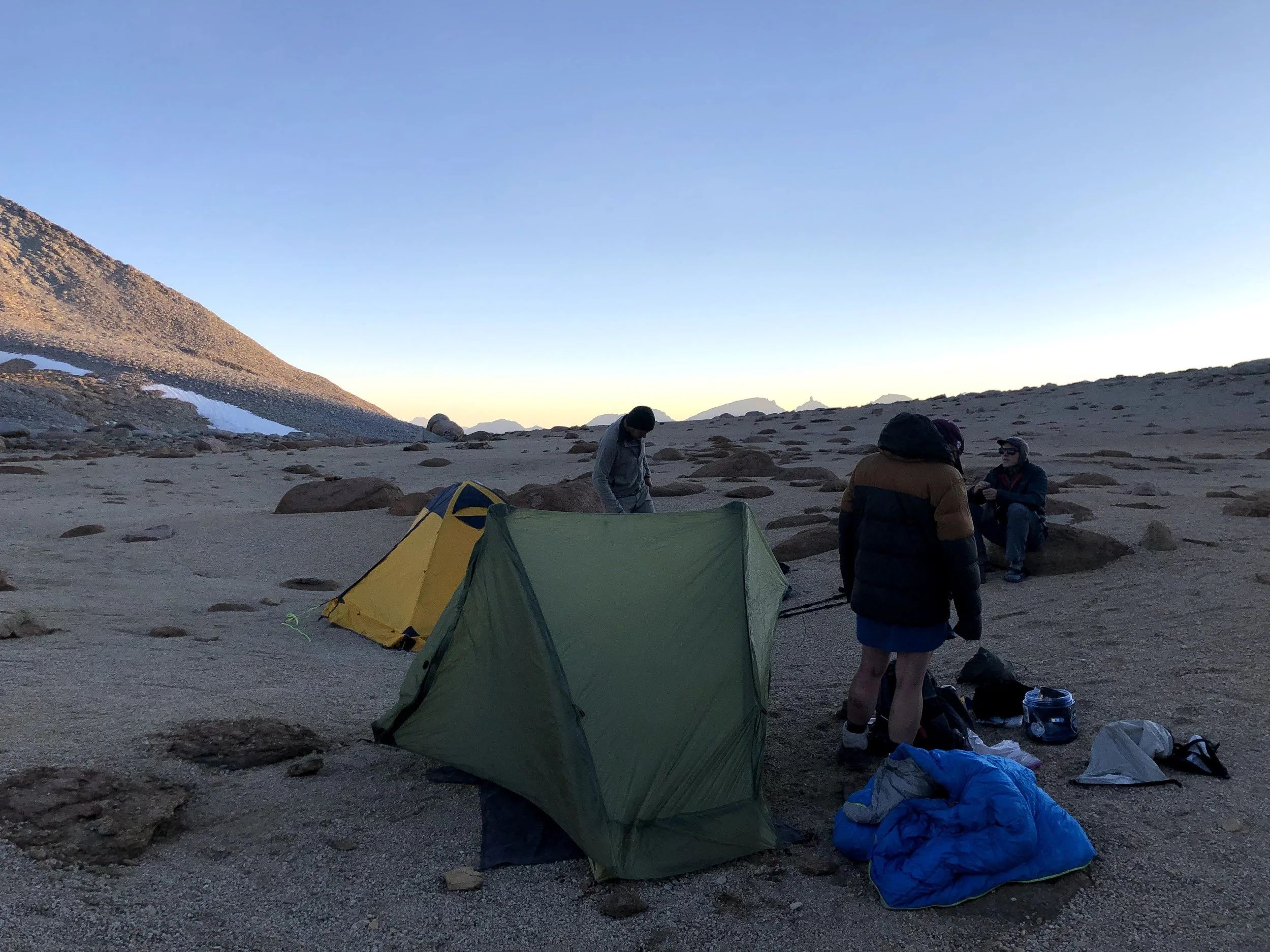
After hours of hiking, we spotted Travis’s friend Lukas, who had come up Shepherd Pass to meet us for the Williamson climb. Suddenly our group grew to five. We set up camp by a small lake filled with tiny shrimp-like creatures. None of us had any idea what they were, but with a Katadyn BeFree filter… whatever. We drank the water anyway.
The air was cold, so we sat on the ground eating our meals with our legs tucked into our sleeping bags. I learned that holding my warm dinner close to my core helped heat me up. We talked, we laughed, and for a moment the exhaustion didn’t matter. We were young, we were out there, and we were ready for Williamson.
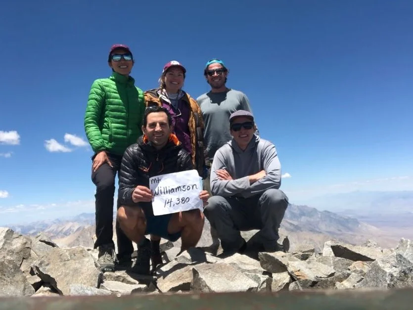
Day 5 Mount Williamson
Mount Williamson — Elevation: ~14,375 ft (~4,382 m) — the second-highest peak in the Sierra Nevada.
Normally, climbing Williamson is a 3–4 day mission just to get up and back from the Shepherd Pass Trailhead. Luckily for us, this would be my second 14er on the trip—and with my food supply getting lighter and lighter, I knew this might be my last big summit before heading out.
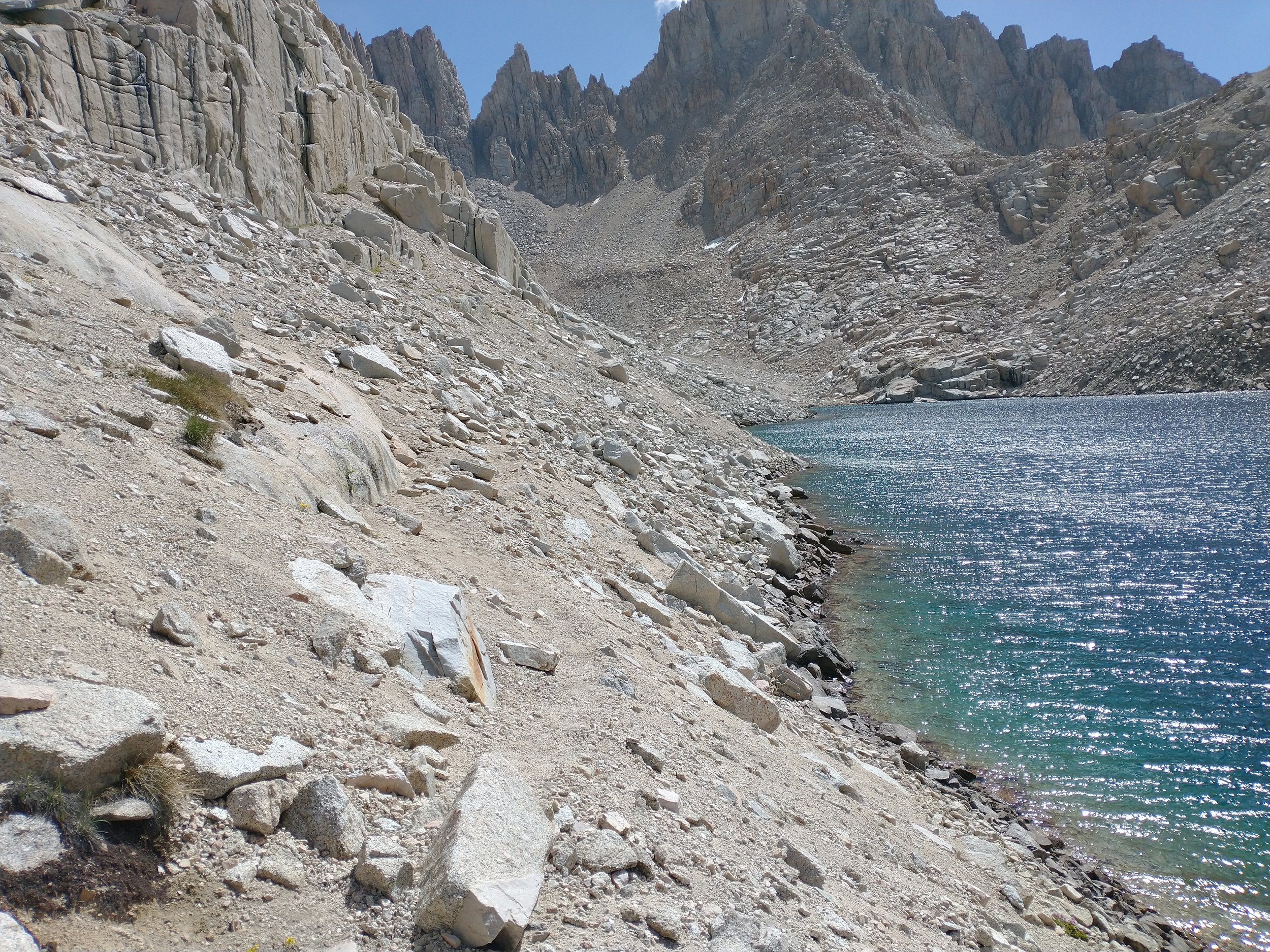
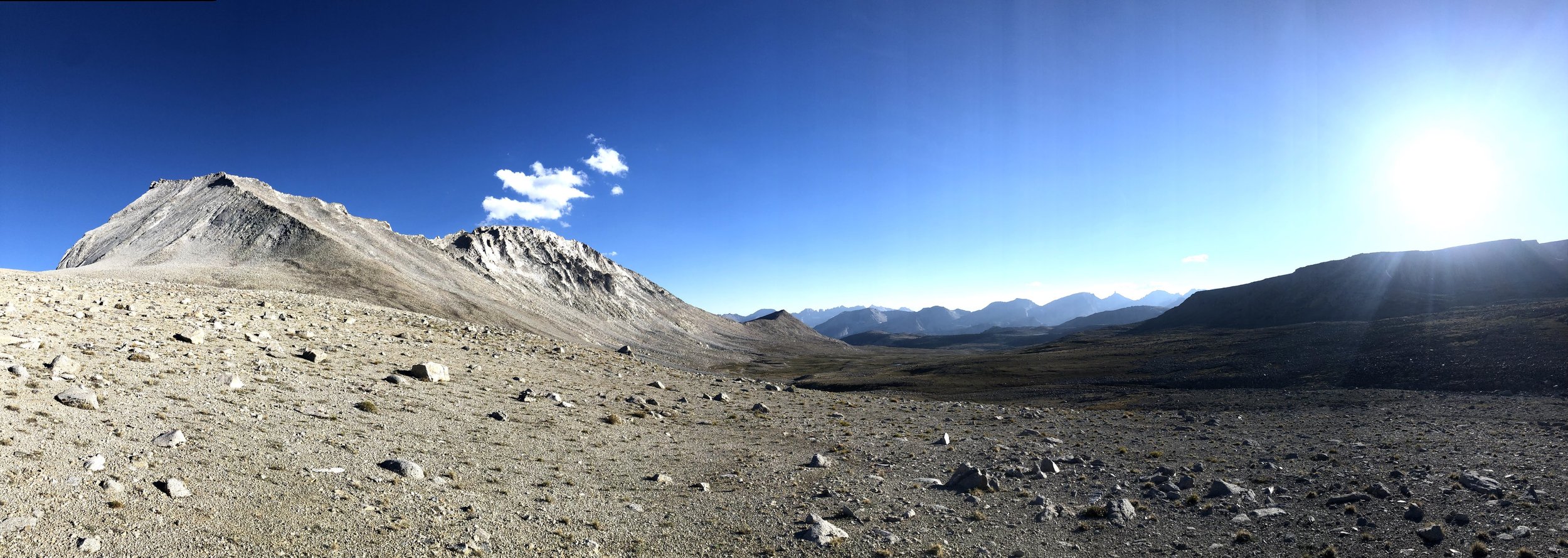
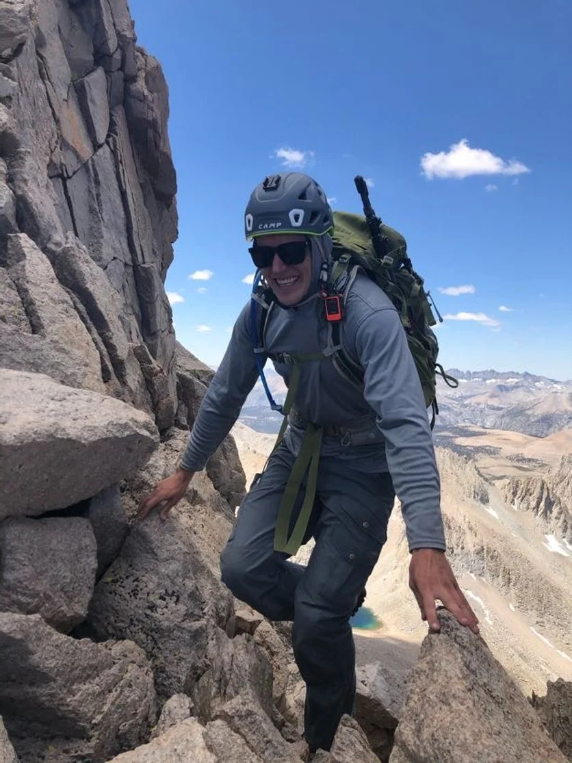
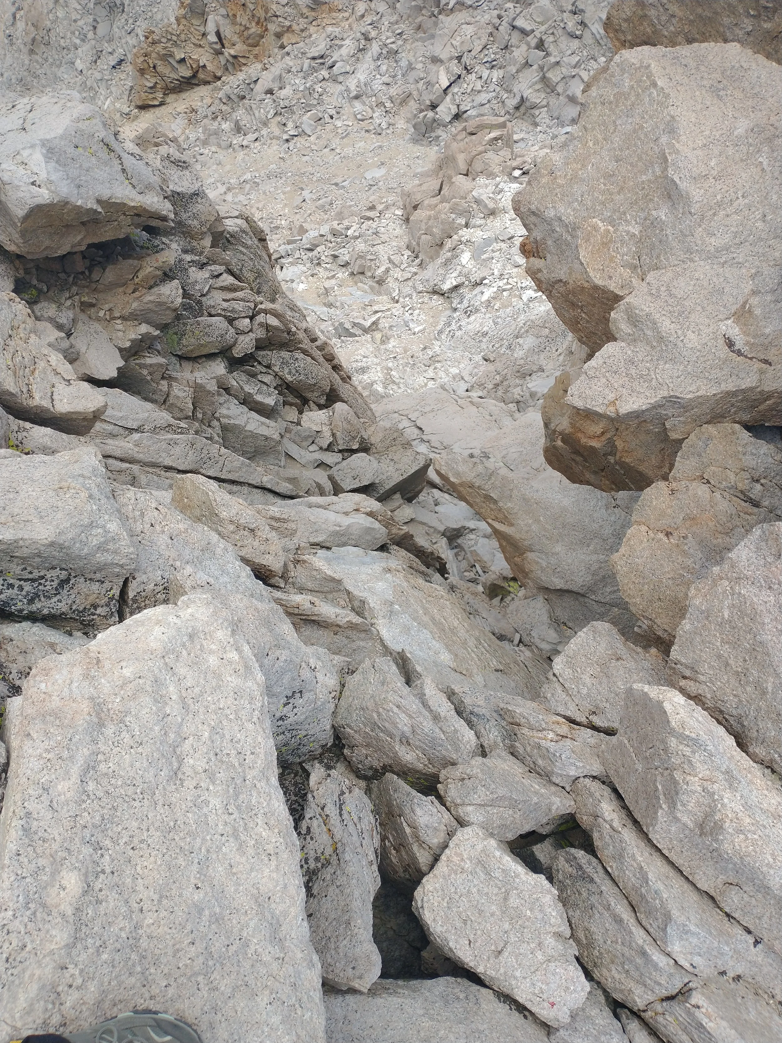
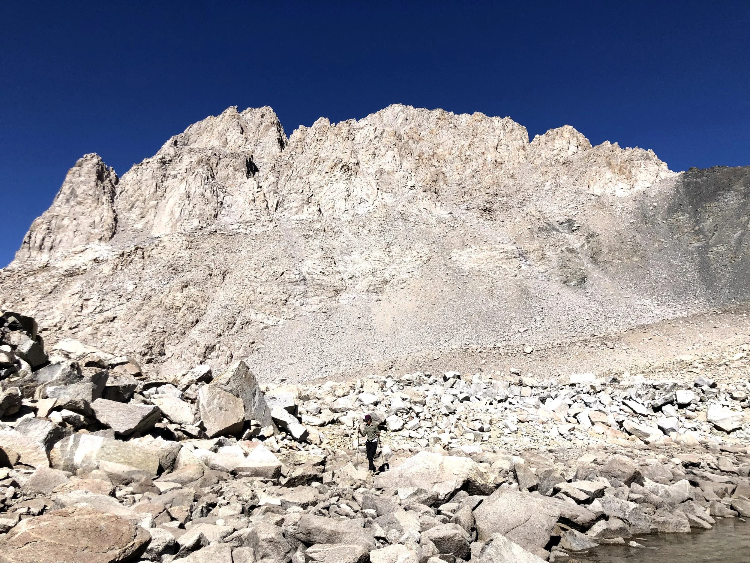
The “standard” route follows the Class 3 West Face, approached from Shepherd Pass. From our camp, we had to traverse the Williamson Bowl—a huge high-alpine basin filled with talus fields, endless boulders, and clusters of lakes—before the real climbing even began. The final ascent involves scrambling (Class 2 and 3), route-finding, loose rock, talus, and steep, exposed terrain.
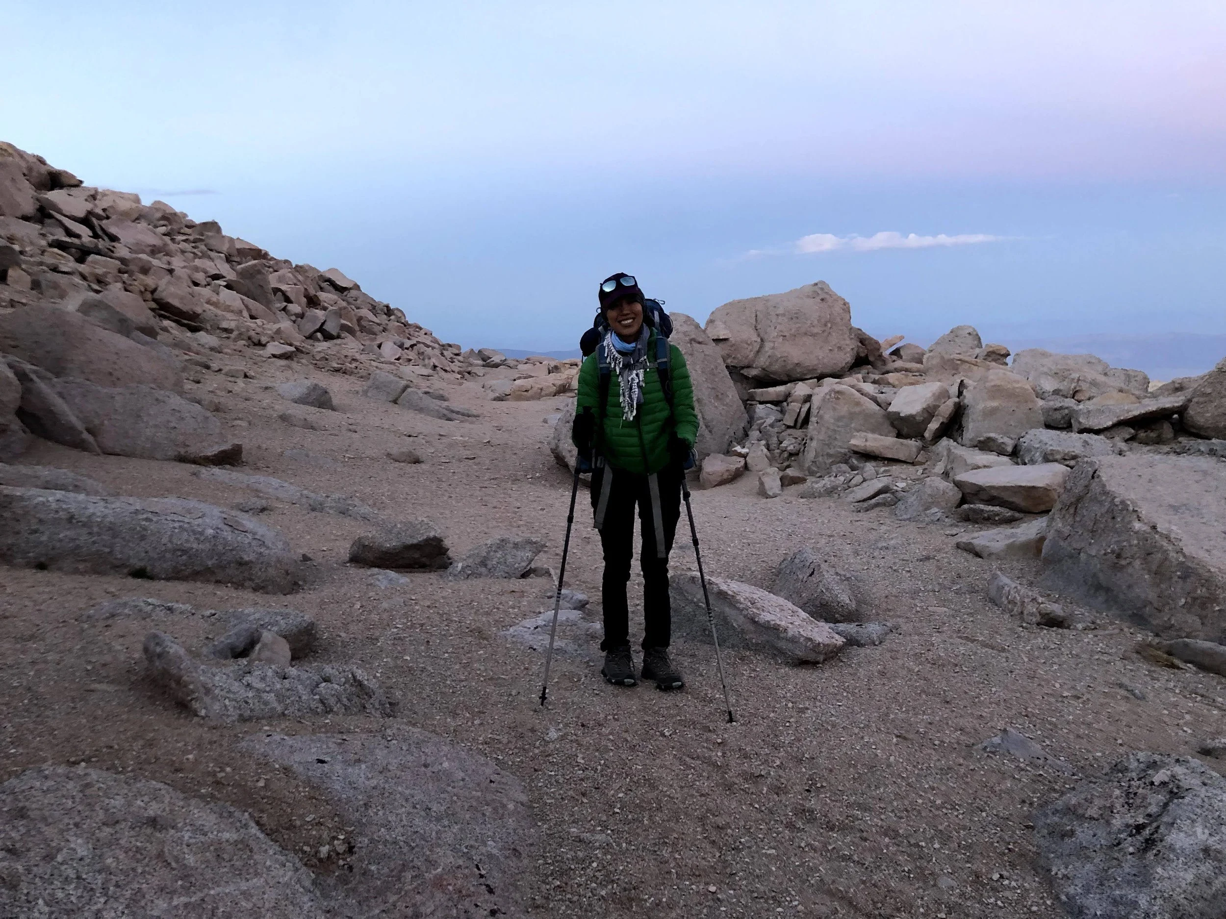
We left camp at 7 am, bright-eyed and bushy-tailed. Today was going to be a big day. All five of us were fired up.
Before this July 2021 trip, I had only been hiking since the start of the COVID pandemic. I used hiking as therapy, and most of my routes were Class 1 trails. The “harder” ones were simply because I was carrying a backpack. I had zero idea what boulder hopping was, or what talus even meant.
And gosh—nothing could have prepared me for the Williamson Bowl. It was so mentally taxing. Every single step was a calculation:
Which rock do I step on?
Which foot do I lead with?
What angle should I land at?
Where exactly on the rock should I place my weight?
Then the next rock. And the next. Repeat. For hours. All while trying to keep up with my lightning-fast friends.
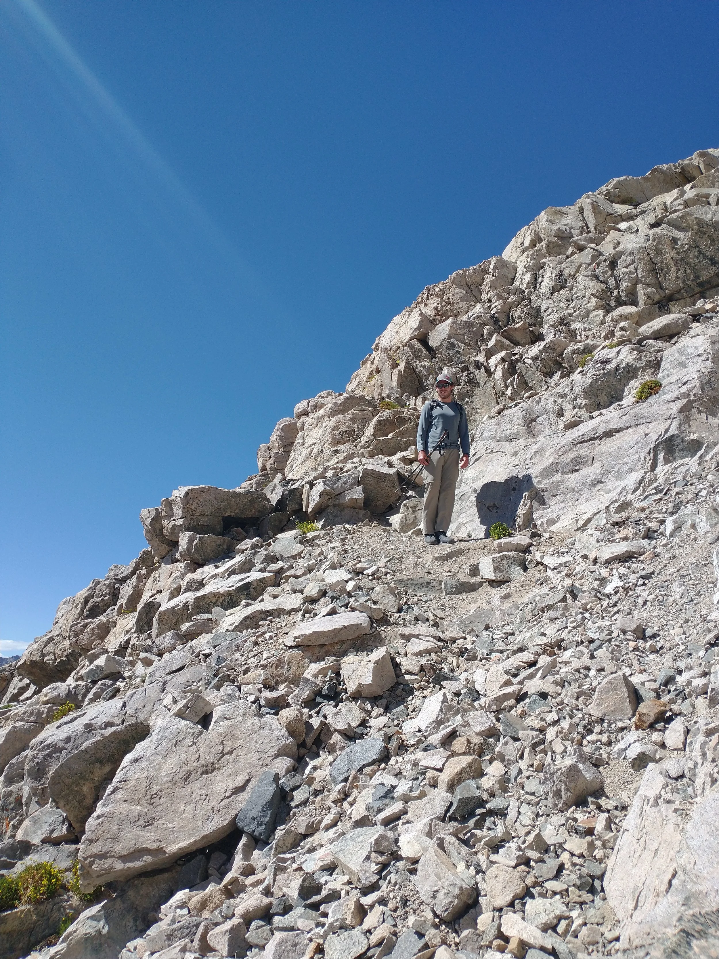
By the time we finally reached the base of the loose-rock section, I was actually relieved—because at least the endless boulder hopping was over. The loose rock and talus were tough too, but I used my hiking poles like extra legs, pulling myself up when needed and stabilizing my steps.


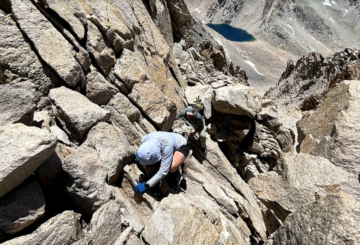
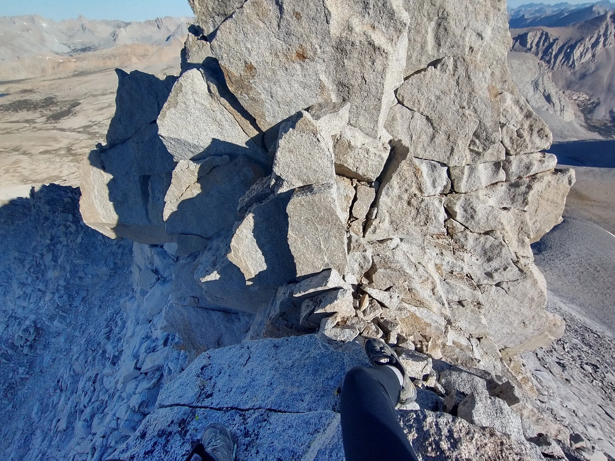
After we crossed Williamson Bowl (big talus hopping) and finished the slog up the large scree/talus slope, we reach the base of the West Face. This is where the Class 3 scrambling begins.
What Class 3 means here
Hands required: You’ll be using your hands and feet. It’s scrambling, not technical rock climbing.
Exposure: Moderate. Not knife-edge exposure, but there are sections where a fall could be bad.
Route-finding: This is the real challenge. The terrain is blocky, complex, and it’s easy to drift into Class 4 territory if you wander.
Common features
Chimneys and ledges: Most parties follow a series of chimneys and ledges trending up and slightly left. The rock is generally solid compared to other Sierra peaks, but expect some loose blocks.
Steep: The scrambling gains elevation fast. You’ll feel it.
Big blocks: Much of it is pulling yourself up fridge-sized granite blocks or stepping between them.
Route-finding tips
Stay left of the main chute—the main gully often tempts people into unexpectedly steep Class 4/low-Class 5 terrain.
Look for ducked cairns, but don’t rely on them; storms and winter often wipe them away.
Follow the path of least resistance—wide ledges that zigzag upward are your friend.
Difficulty vs. other Sierra 14ers
Most hikers consider Williamson’s Class 3 section a bit harder than Whitney’s Mountaineer’s Route but still easier than Russell’s East Ridge or the blocky terrain on Middle Palisade. The physical exhaustion of reaching Shepherd Pass often makes it feel tougher than it really is for the common approach to Williamson. Since this was my first true scramble, I had nothing to compare it to. My friends pointed out where to hold, where to step, and what to grab, and I simply followed along one move at a time.
Thanks to my long legs and sheer determination, I felt ready for all of it. Even without any real climbing experience, I found myself able to pull onto the big blocks without too much difficulty. Each move brought me closer to the summit—and with it, a growing sense of confidence and capability.


The summit was glorious. We were all thrilled to have made it on top at 12:45pm.

By 5 p.m., we had made it down from the mountain, and the descent felt far easier without the strain of altitude. We stopped by a lake for a refreshing swim before heading back to camp.
It had been a long, physically demanding day, but the high from tagging the summit still hovered over us. The temperature had dropped at 10,000 feet, so we leaned against a stack of boulders with our legs in our sleeping bags. John sat to my right, Lukas to my left. As a group, we started talking through tomorrow’s options—either hike out in the morning or climb Mount Tyndall at 14,025 feet. Even though Tyndall is a 14er with real prominence, the thought of another 7,500 feet of descent via Shepherd Pass made the idea feel daunting.
At one point, John and Lukas slipped into German. I could hear the tone, and even without understanding a word, I somehow understood exactly what was being said. John told Lukas that we shouldn’t climb Tyndall because “Kristie wouldn’t make it.” I responded in English before he even finished the thought: “I want to hike Tyndall tomorrow.”
I knew I was the weakest link in the group, and if I wanted to do it, everyone would be on board. I had already been quietly considering it ever since we sat down for dinner. With Tyndall looming right beside us—and knowing how long the approach is from the standard Shepherd Pass route—there was no way I was saving it for some vague “next time.” Tomorrow, we were climbing it.


A day to be grateful for
Day 6: Mount Tyndall and out
Climbing the North Rib (Class 2–3)
Stay on stable rock, NOT loose gravel on the sides.
Best climbing is usually center-right, on solid blocks.
The route gets consistently steep but the holds are good.
There is exposure near the top, but nothing like Mt. Russell’s east ridge.
No technical gear needed in summer conditions.
Common crux:
Near the top, the rib narrows into a series of large class 3 boulders.
Route-finding is intuitive: keep moving upward on solid blocks.
Summit Ridge
Once you top out of the rib:
Turn left (east)
Walk a short, mostly easy ridge to the true summit.
The summit block is wide, flat, and not exposed.
Descent the same way as the ascent
Downclimb the same rib you came up.
Important:
Take your time; this is where accidents happen.
Stay on the stable rock. The loose chutes on the sides are dangerous.
Season & Difficulty
Best time:
Mid-July to mid-September (no snow on the rib)
Early season often requires an ice axe to cross hard snow at Shepherd Pass.
Skill level:
Comfortable with solid class 3 scrambling
Good fitness for a long approach day
Confident route-finding
Compared to Williamson’s class 3 chute, Tyndall is steeper and a bit more airy, but shorter.


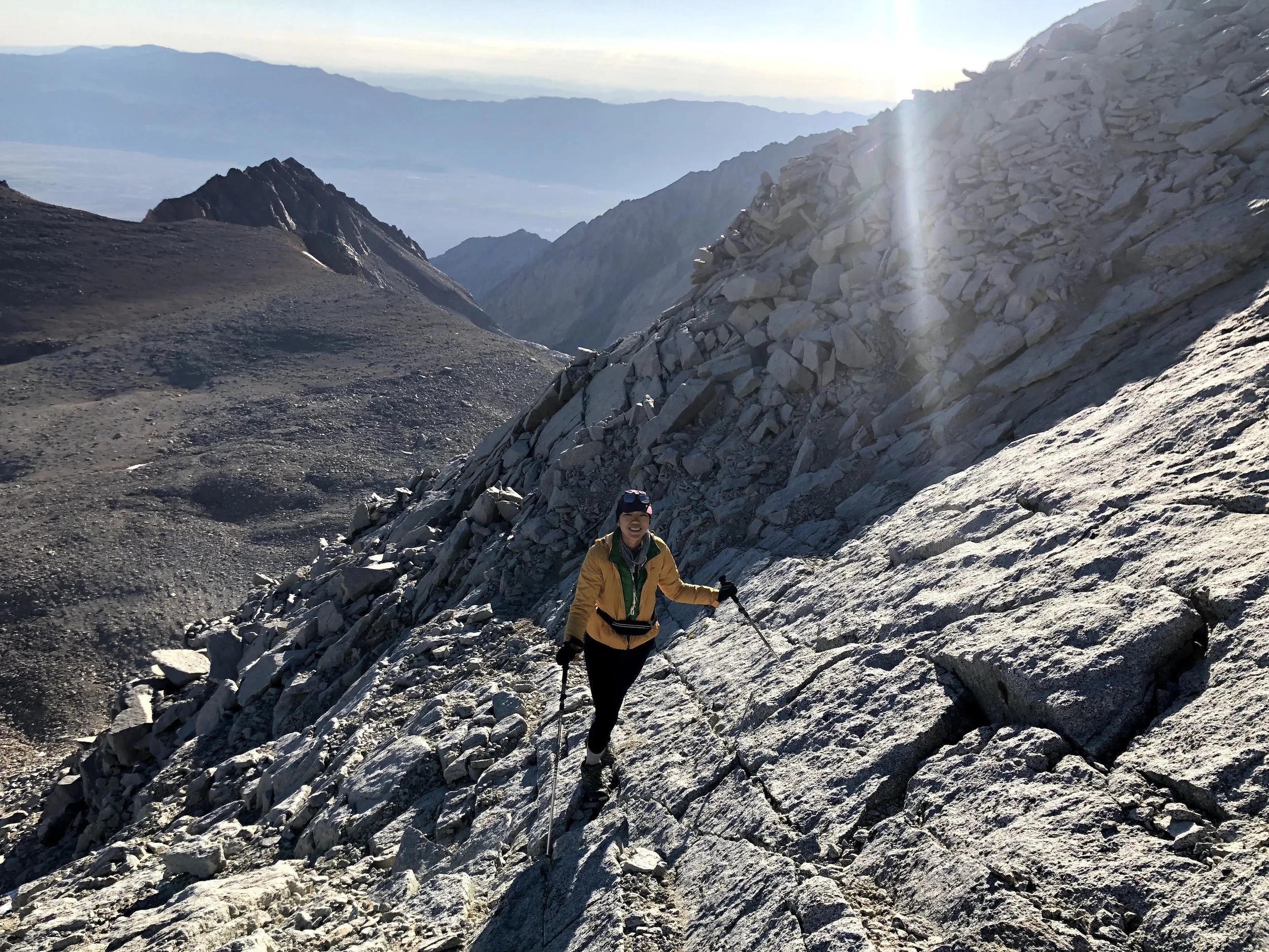
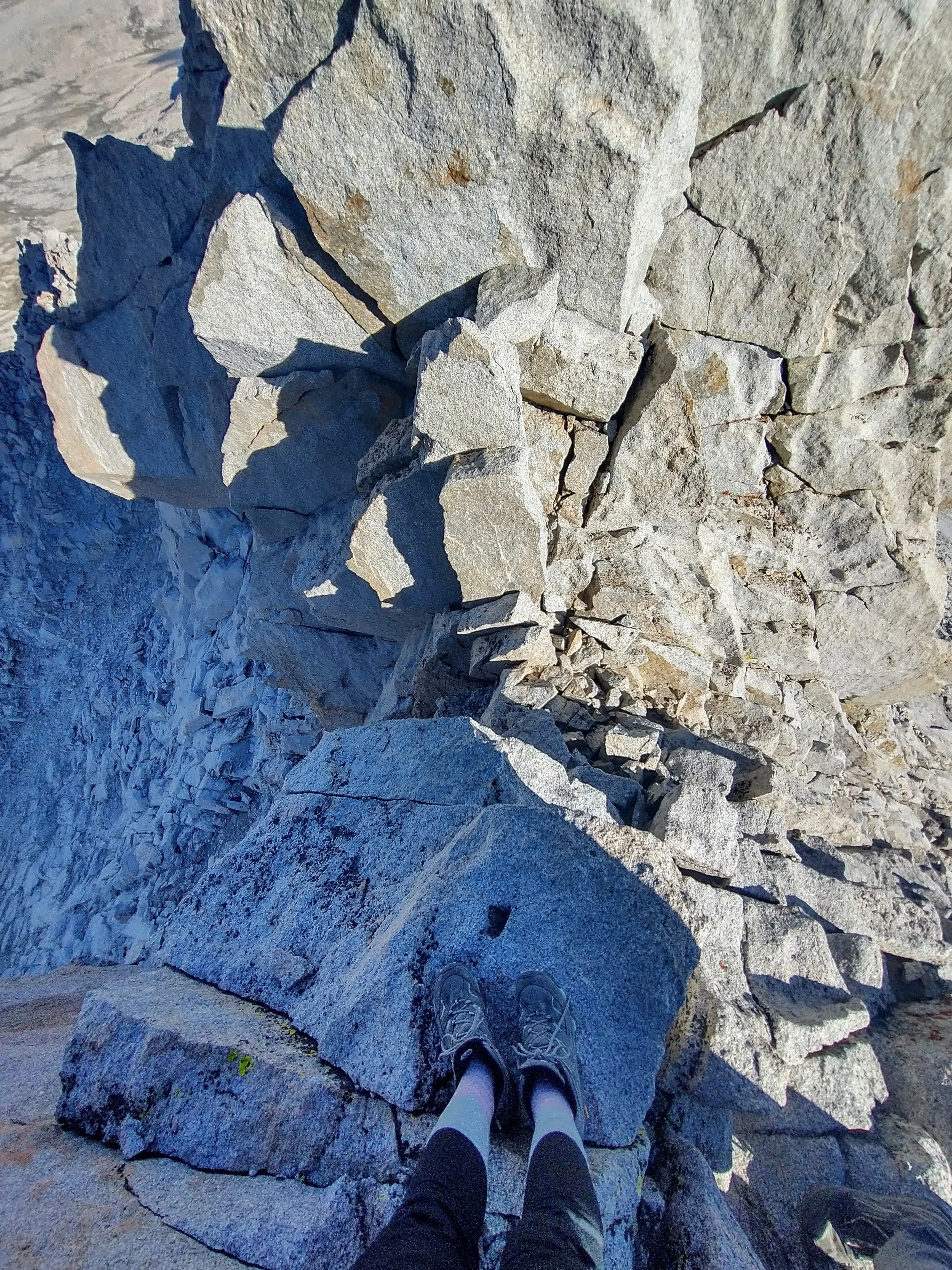


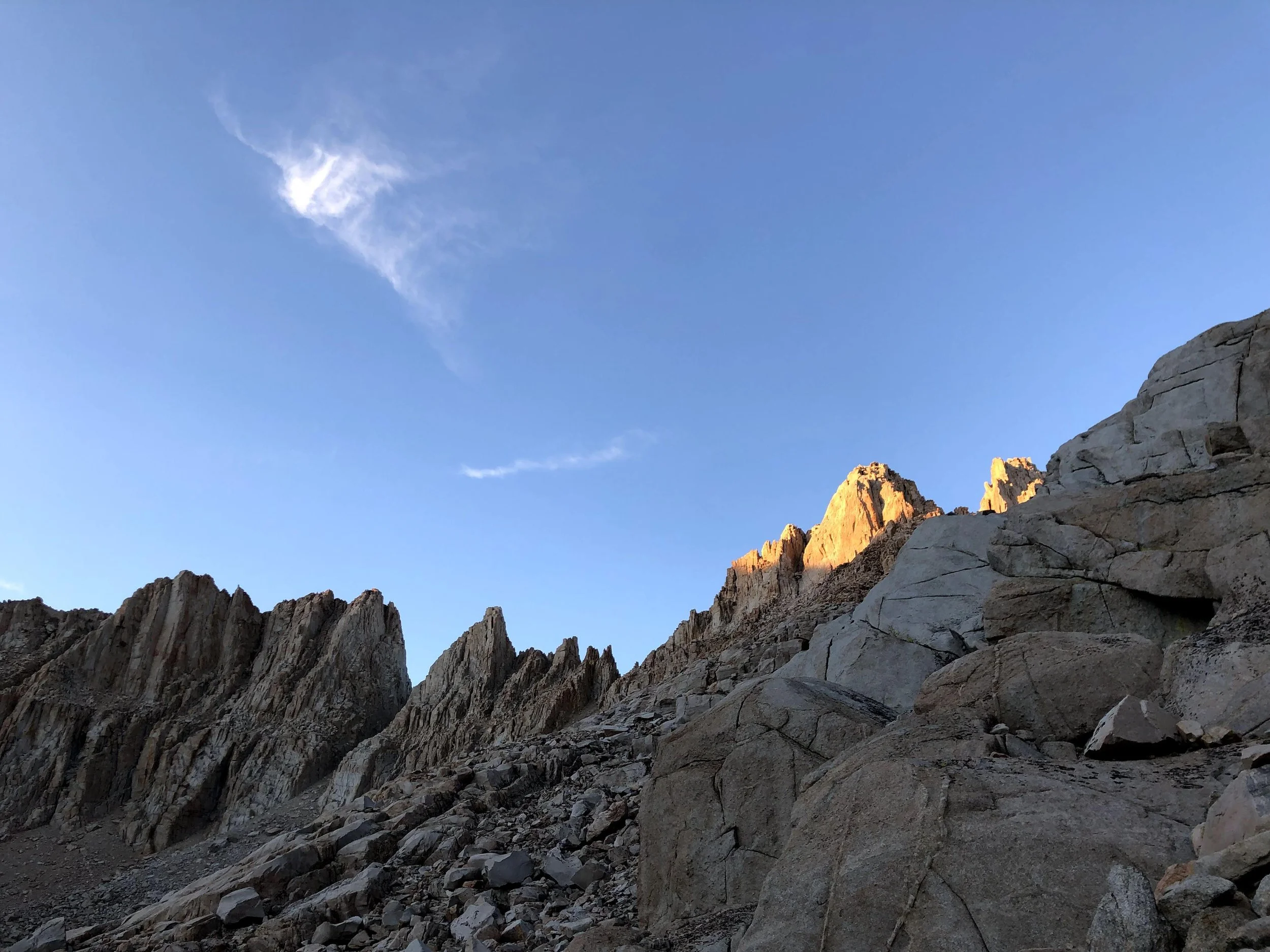
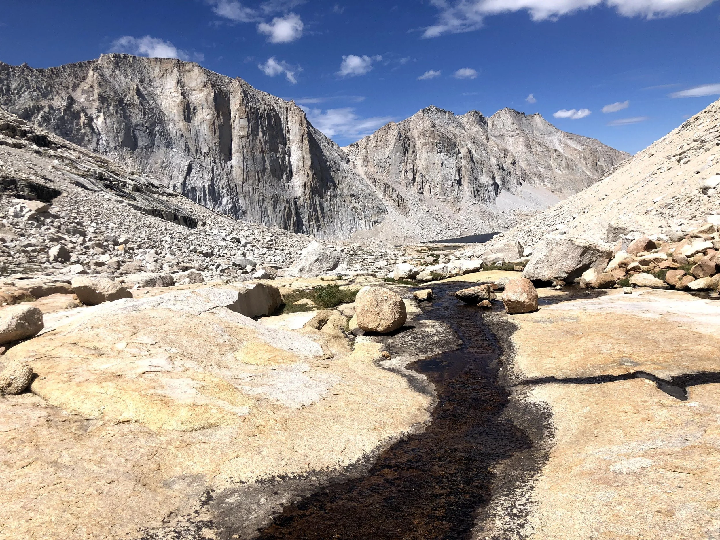
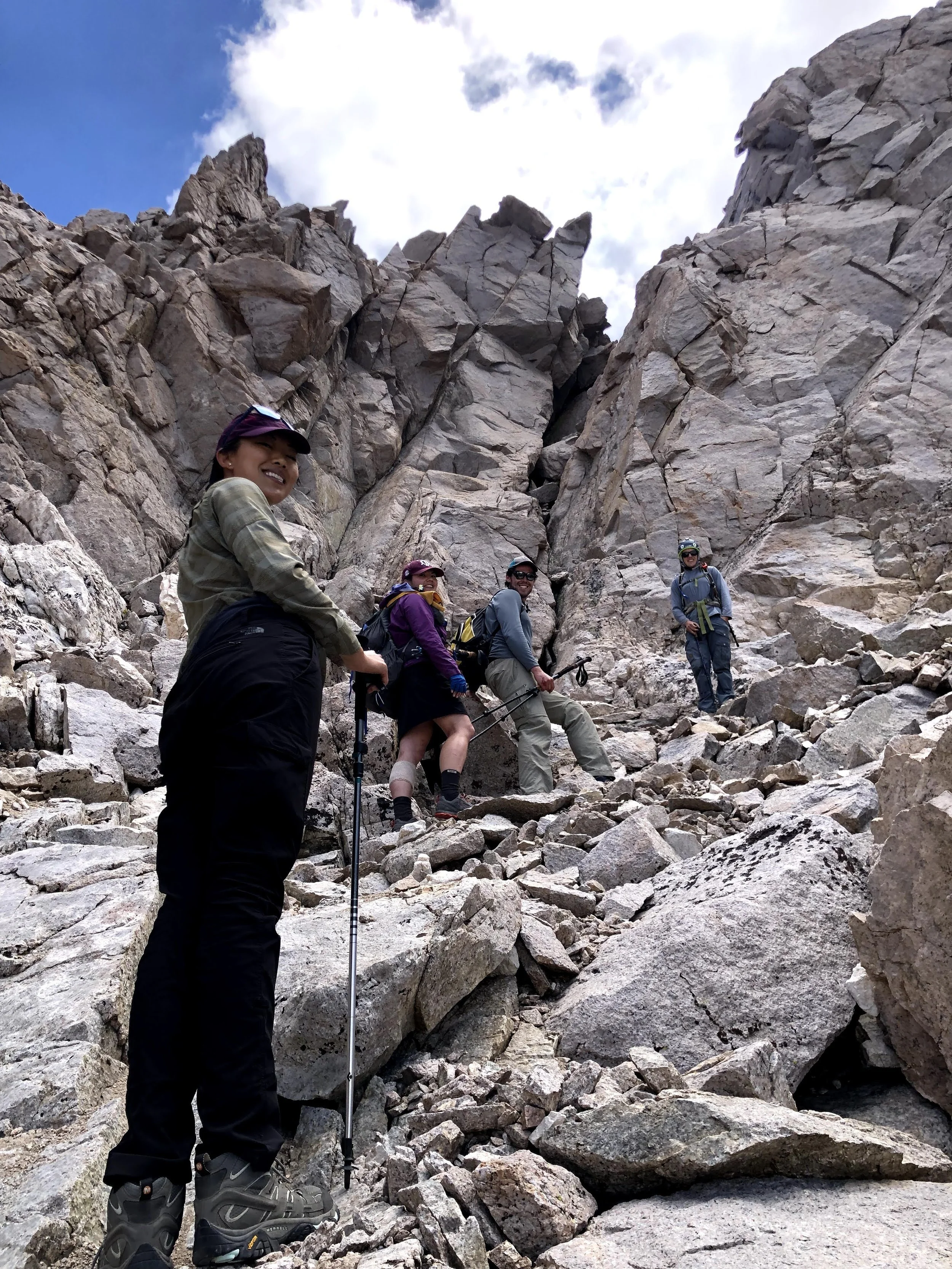
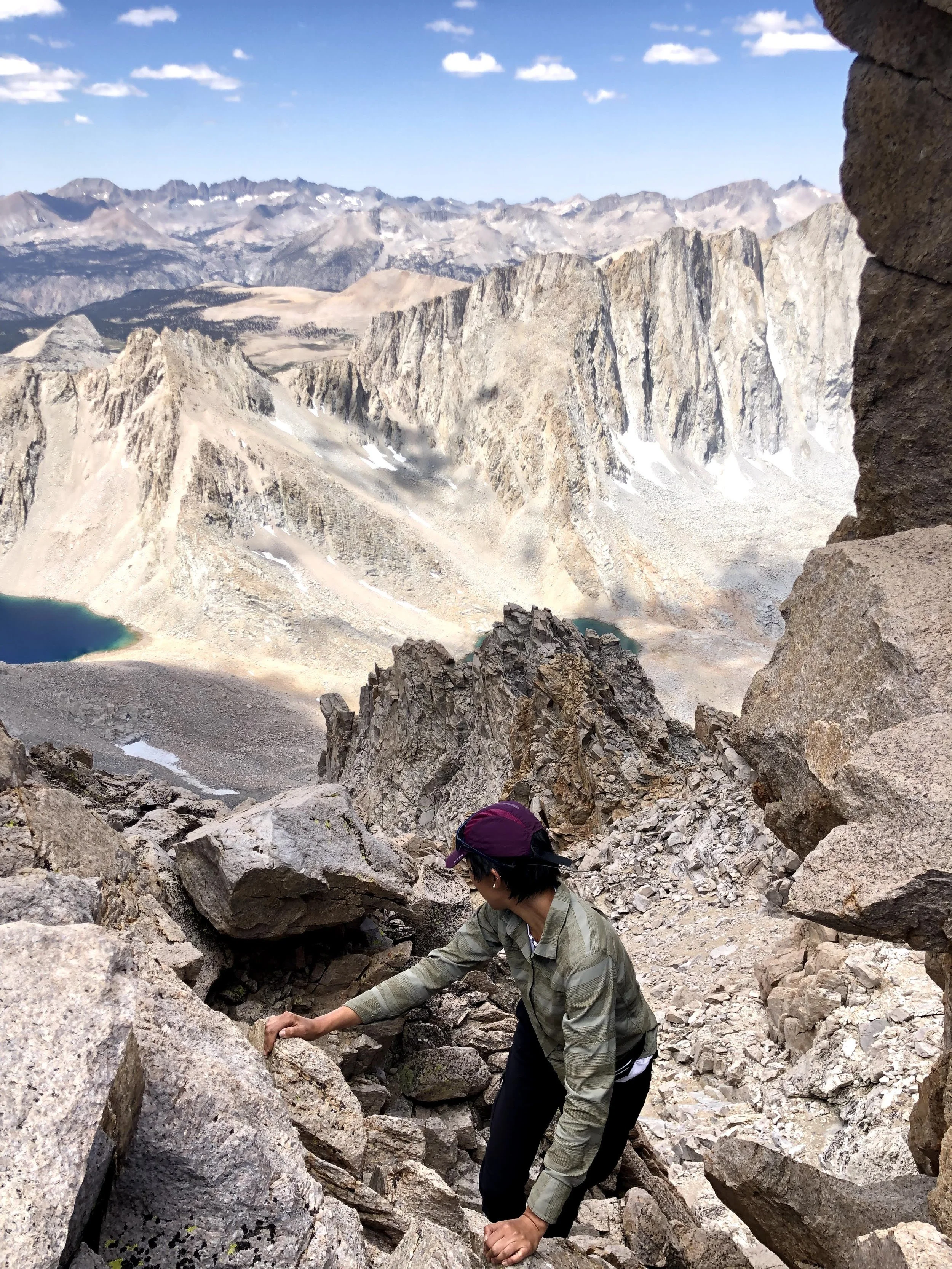
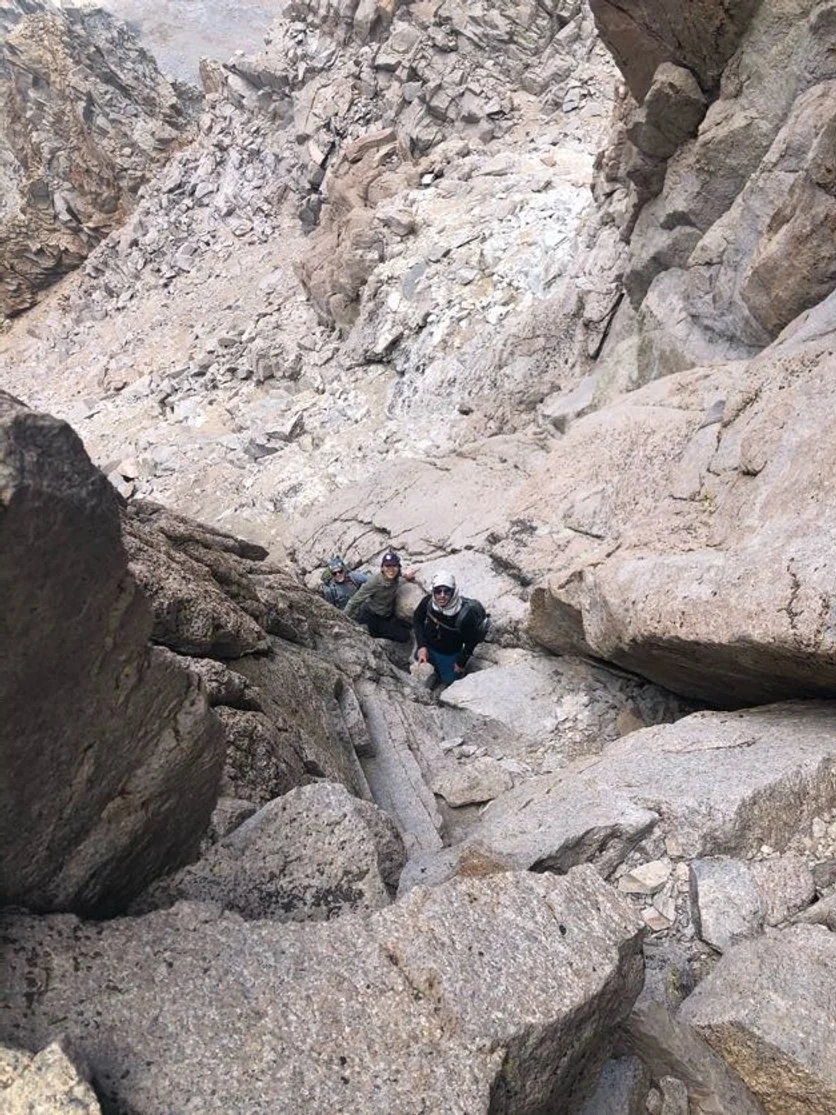
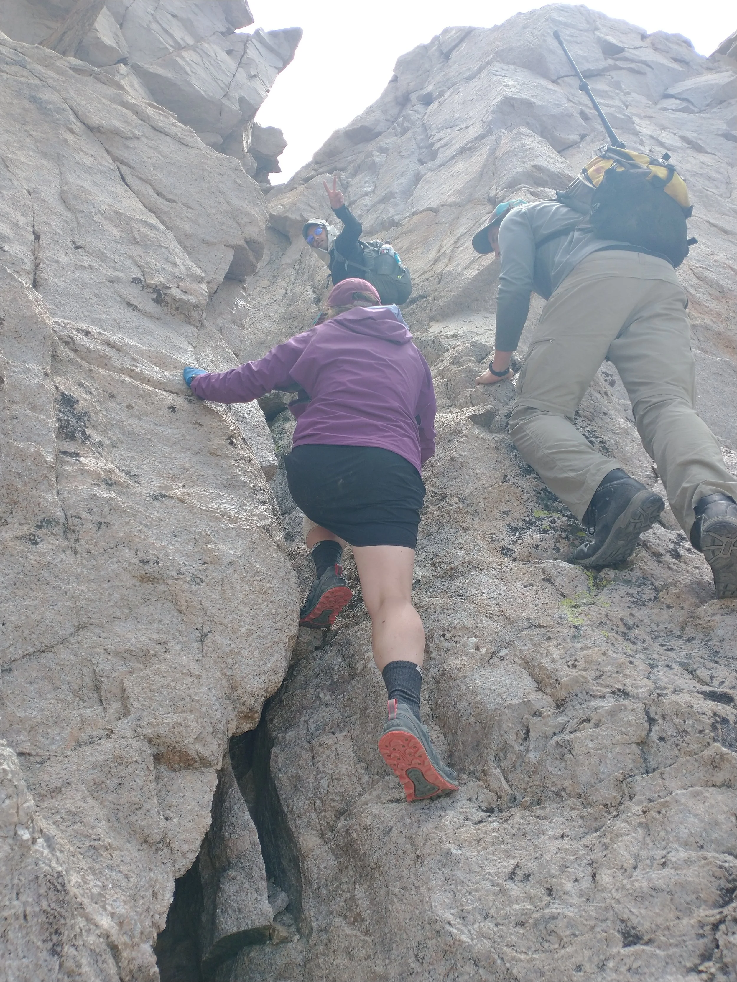
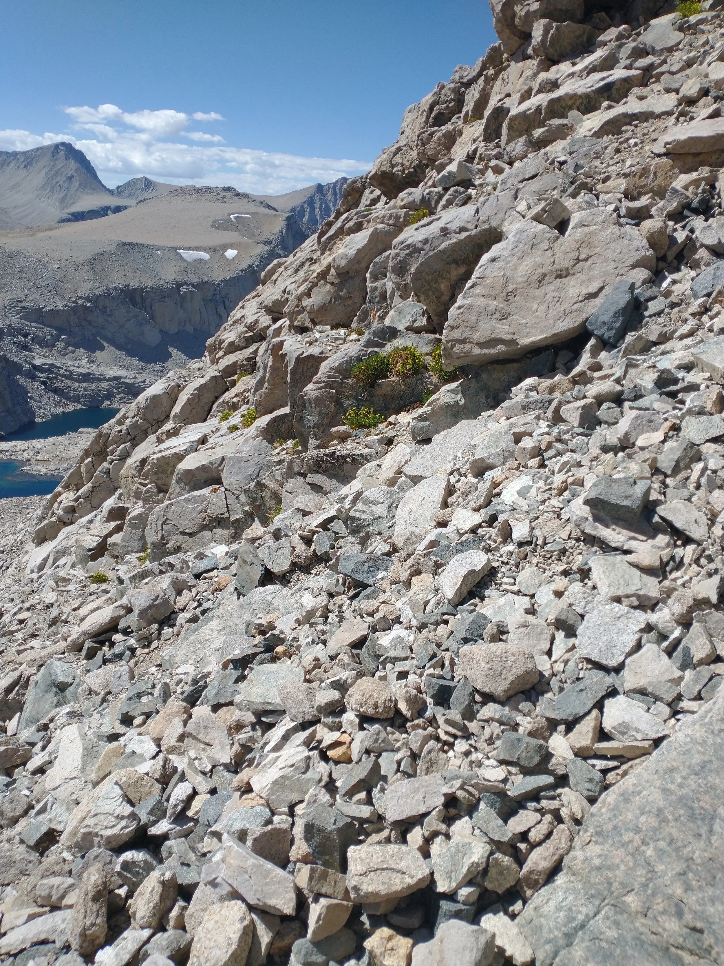
We left camp at 5:30 a.m., just as the first light started to creep over the ridge. The air was crisp and thin, and each step felt deliberate after the previous day’s effort. The trail began gently, but soon we were weaving through talus and larger volcanic blocks, following faint use-paths that appeared only when the angle of the light caught them just right.
As we approached the base of Tyndall’s summit ridge, the terrain steepened into true Class 3 scrambling—big, angular blocks stacked on top of each other like some oversized, ancient puzzle. I moved slowly at first, testing each handhold and foothold, reminding myself to trust the friction. My long legs helped, but the blocks were huge, and sometimes the easiest move was a full-body step-up onto a boulder that came up to mid-thigh. My hands found cold granite edges, and I used them to pull myself higher, one solid move at a time.
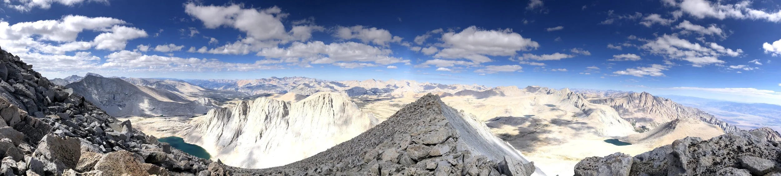
Every so often, I’d pause and look over my shoulder. The exposure dropped away sharply, revealing a sweeping view of Shepherd Pass, the basin below, and the massive walls of Williamson catching the morning sun. It was the kind of exposure that made you inhale a little deeper—not dangerous if you stayed focused, but honest enough to remind you that you were high, committed, and truly in the mountains.
We scrambled along the ridge, sometimes walking on more level slabs, sometimes weaving between vertical blocks that forced us to choose the cleanest line. Lukas led for a few sections, showing us the easiest weaknesses, and I followed right behind him, matching each movement and occasionally laughing when the “easy” way still involved what felt like hauling myself onto a kitchen-counter-sized boulder.
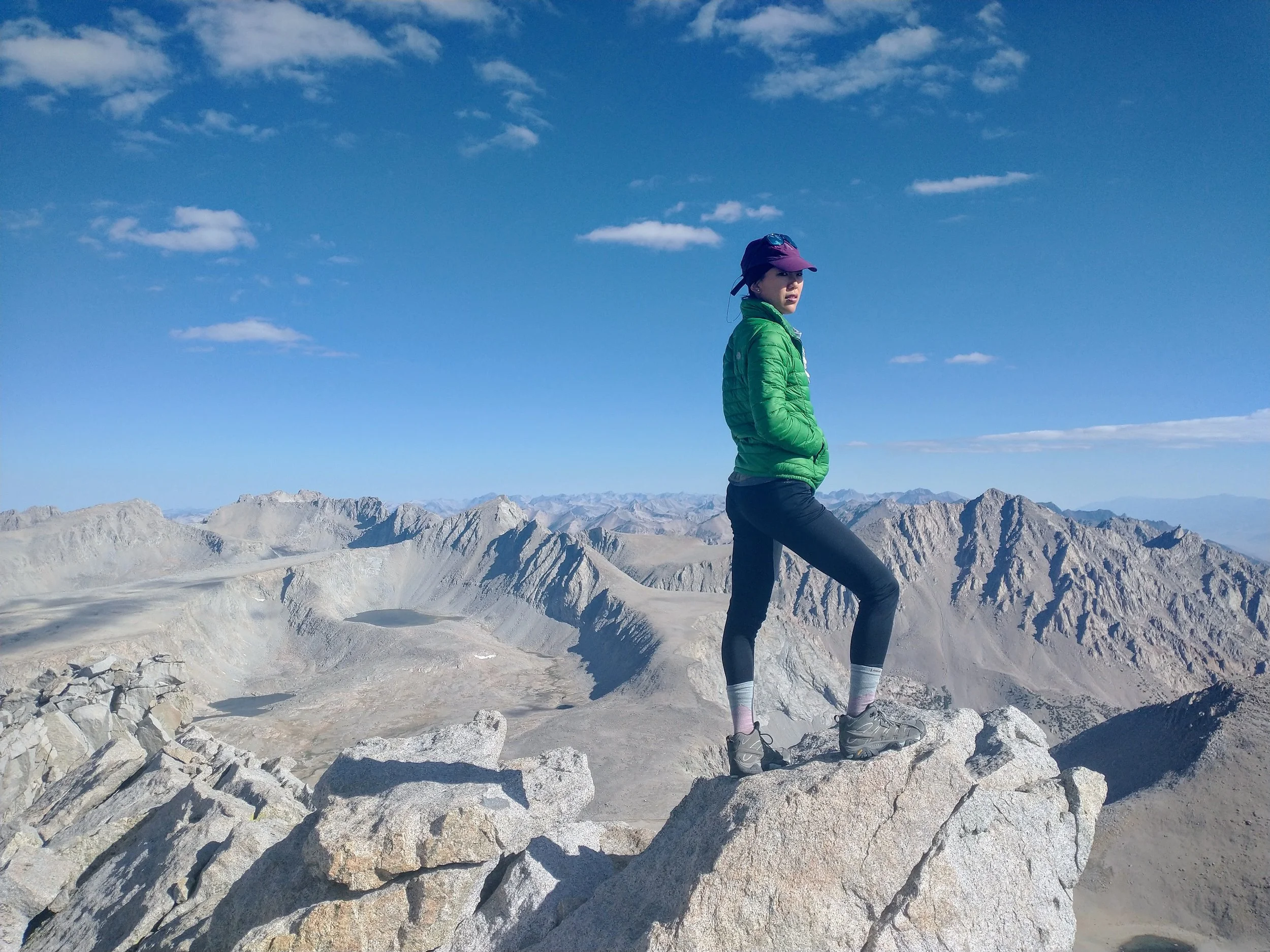
As the angle eased up, the final few moves opened onto the summit plateau—a surprisingly broad, flat expanse compared to the blocky ridge below. We stepped onto the summit at 9 a.m. sharp, the sun bright, the air still, and the whole Sierra stretching out in a hazy blue sweep. It felt earned. It felt wild. And it felt like we had pulled off something huge in such a short morning push.


At 8 p.m. on July 6, 2021, we finally reached the Shepherd Pass trailhead. I will always remember the photo we took there. We were exhausted, filthy, and running on whatever energy was left in our legs—but we were grinning ear to ear. A stranger offered to snap the picture, and I’m sure he had no idea what we had just put our bodies and minds through. To him, we were just four dusty hikers. To us, we had just lived one of the hardest and most unforgettable days of our lives.
As we drove away, the sun dipping low, we passed Mount Williamson and Tyndall. Williamson rose in the distance, massive and remote, and I couldn’t believe we had stood on top of it only yesterday. It looked impossibly far away—as if the whole experience had stretched across another lifetime. I turned toward the window and quietly let a few happy tears fall.
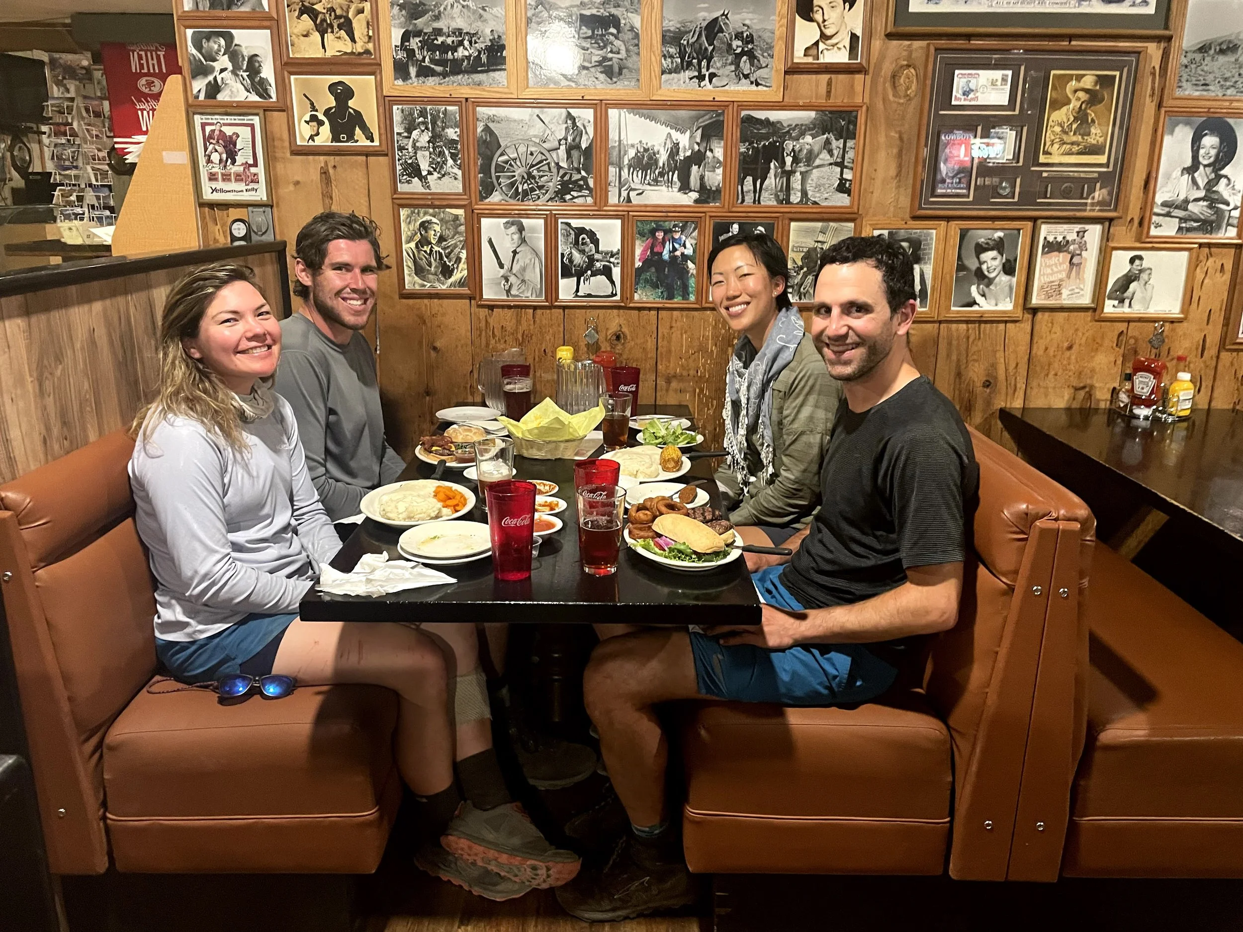
Before heading to collect my car, we stopped at the Mount Whitney Restaurant, starving in that special way only a multi-day mountain trip can create. Later, when we checked into the budget hotel we booked last minute, I could already imagine the feeling of a real shower and a real bed. After everything we’d been through, both sounded absolutely glorious.


Looking back on the six days we spent out there, it feels like we lived an entire chapter of life in less than a week. We crossed passes, climbed three 14ers, scrambled ridges that pushed us, laughed through our exhaustion, and moved through some of the most remote and humbling terrain in the Sierra. The trip tested every part of me—my endurance, my patience, my confidence—but it also gave me a deeper sense of capability than anything I’d done before. By the time we returned to civilization, with sore legs and sunburned noses, I felt both emptied and completely full. It was one of those rare adventures that changes you quietly, in ways you only recognize later. And even now, years later, I know that six-day journey will always hold a piece of my heart.