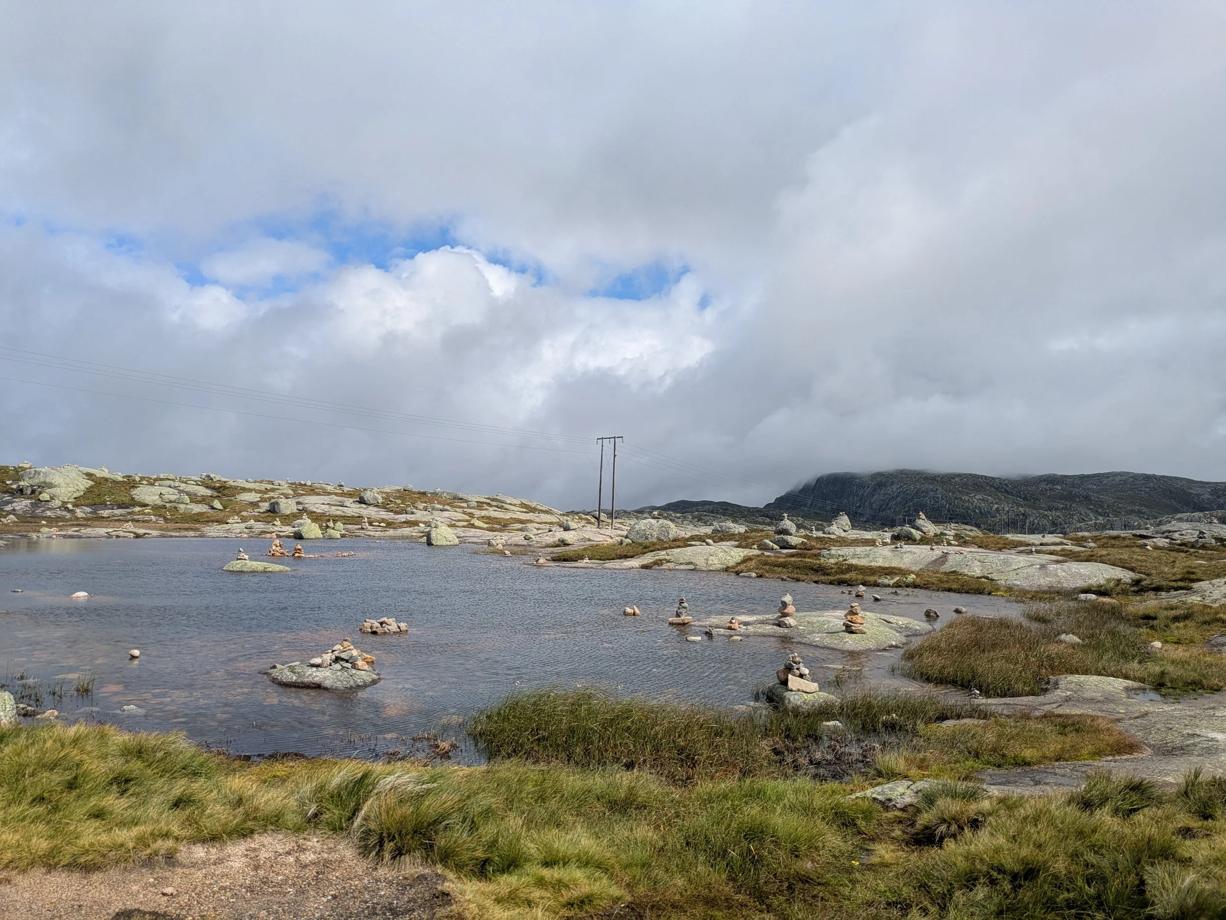
Norway: all the beautiful places
Going into this trip, my mental file on Norway was pretty limited: Scandinavian, expensive, salmon, healthy soccer team, excellent summer trails. That was about it.
I was not prepared for how stunning it actually is. In fact, it’s so beautiful that I had a thought that living here would feel like a terrible situation—how do you go on vacation anywhere else after this without being completely disappointed?
I visited Norway with 4 close friends for a total of 9 days in August to see the Fjords, and of course hike ALL the classic hikes. Honestly, I don’t think we could have crammed anymore in, and I’m so glad we did everything on the list.
-
Day 1: Fly into Stavenger
-
Day 2: Hike Pulpit Rock
-
Day 3: Hike Kjeragbolten
-
Day 4: Drive the Scenic route RV13
-
Day 5: HikeTrolltunga
-
Day 6: Relax in Odda
-
Day 7: Glacier Hike (Buerbreen)
-
Day 8: Kayaking on the Fjords near Voss
-
Day 9: Return car/fly out of Bergen
Day 1: Fly into Stavenger
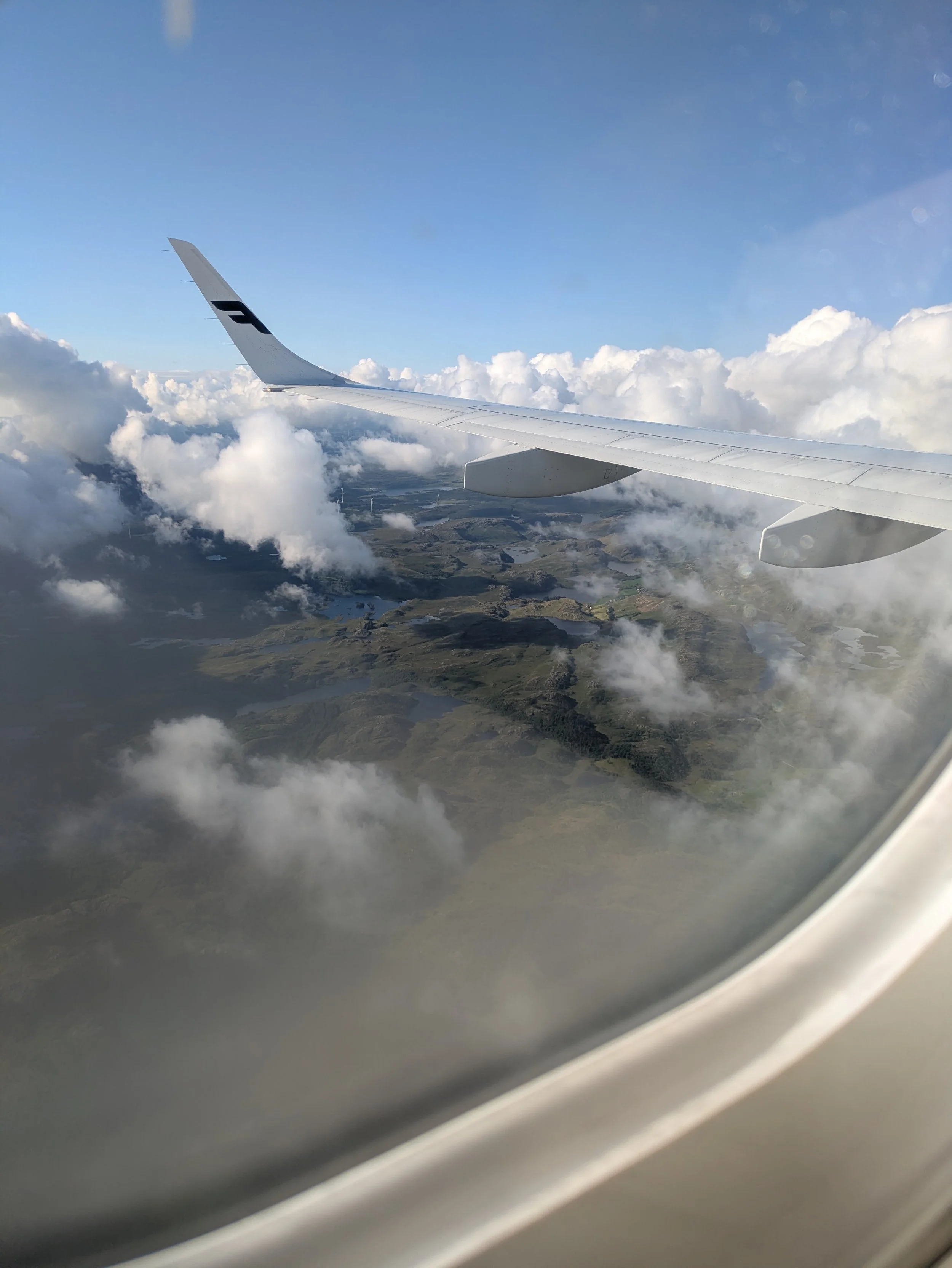
We began our adventure at Stavanger Airport, where four friends flew in from around Europe and one arrived from the US. Picking up the rental car was breezy and easy. While making the reservation earlier, we realized that rental companies here almost exclusively lease electric vehicles—a quick search showed that around 96% of new car sales in Norway are electric, making charging stations widely available.
To pass the time while waiting for Linda's flight from the US, we had a small picnic at a beach just west of the airport at Sola Beach. It is famous for its wide sandy shoreline, bright light, and persistent coastal breeze—a fantastic immediate welcome while waiting for a transatlantic arrival. The wind was cold, but the sun was shining and the views were beautiful.
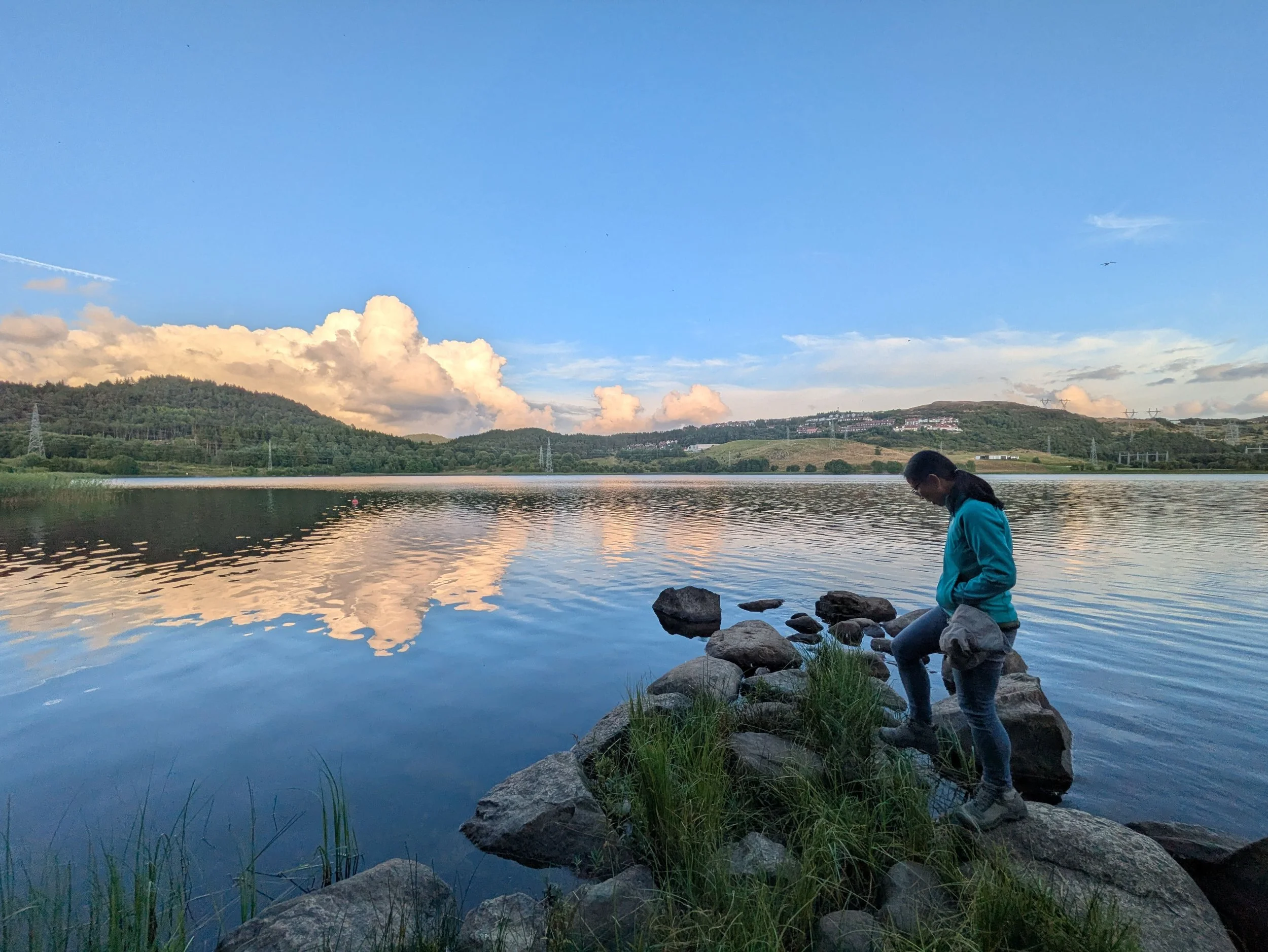
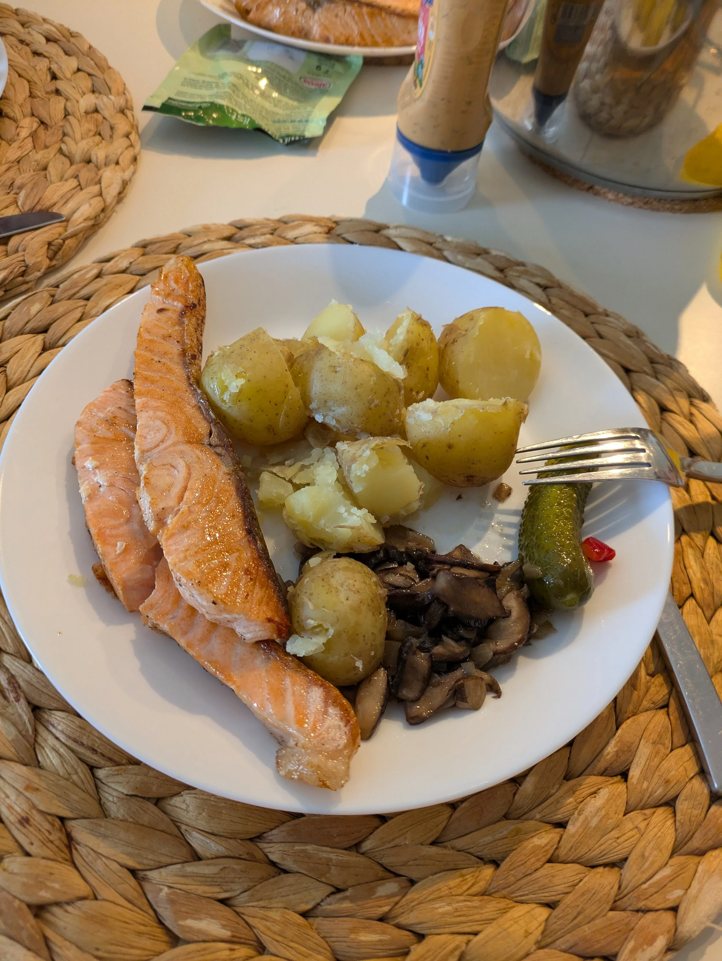
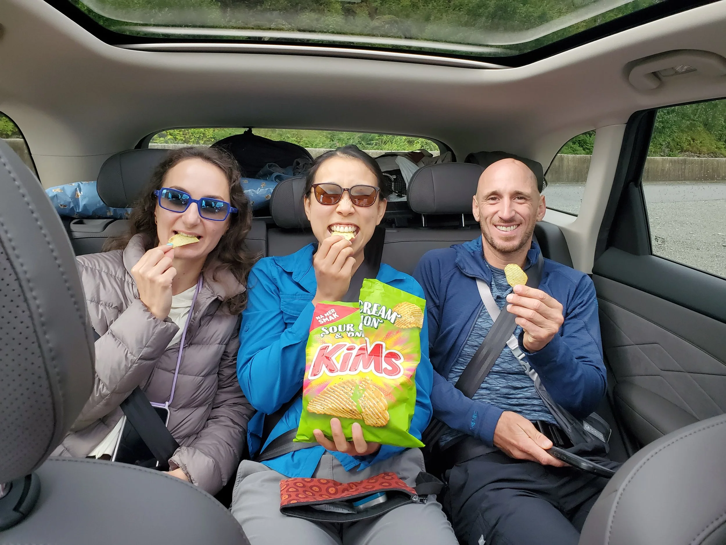
After picking up the car, we checked into our Airbnb: a stylish three-story building with clean, IKEA-esque interior design. We then walked around the small town near our airbnb, had some fun at the playground (as adults), ventured to KIWI for grocery shopping. The store layout was simple, though fresh fruit and veggie prices are higher than in the UK. We picked up potatoes, fresh salmon, breakfast provisions, and snacks for the week. We purchased some pickled fish (personally don’t recommend it), chips, popcorn in a bag, and cavier in a tube. After dinner, we walked down to a nearby lake for an evening stroll, catching up on everything that’s happened in our lives recently.

Day 2: Hike Pulpit Rock
Originally, we planned to hike Pulpit Rock on our way to the next area. But after looking at the map and drive times, it made much more sense to do it while we were still around Stavanger—rather than hiking and then tackling a 2.5-hour drive east. From our Airbnb near the airport, Pulpit Rock was only about an hour away.
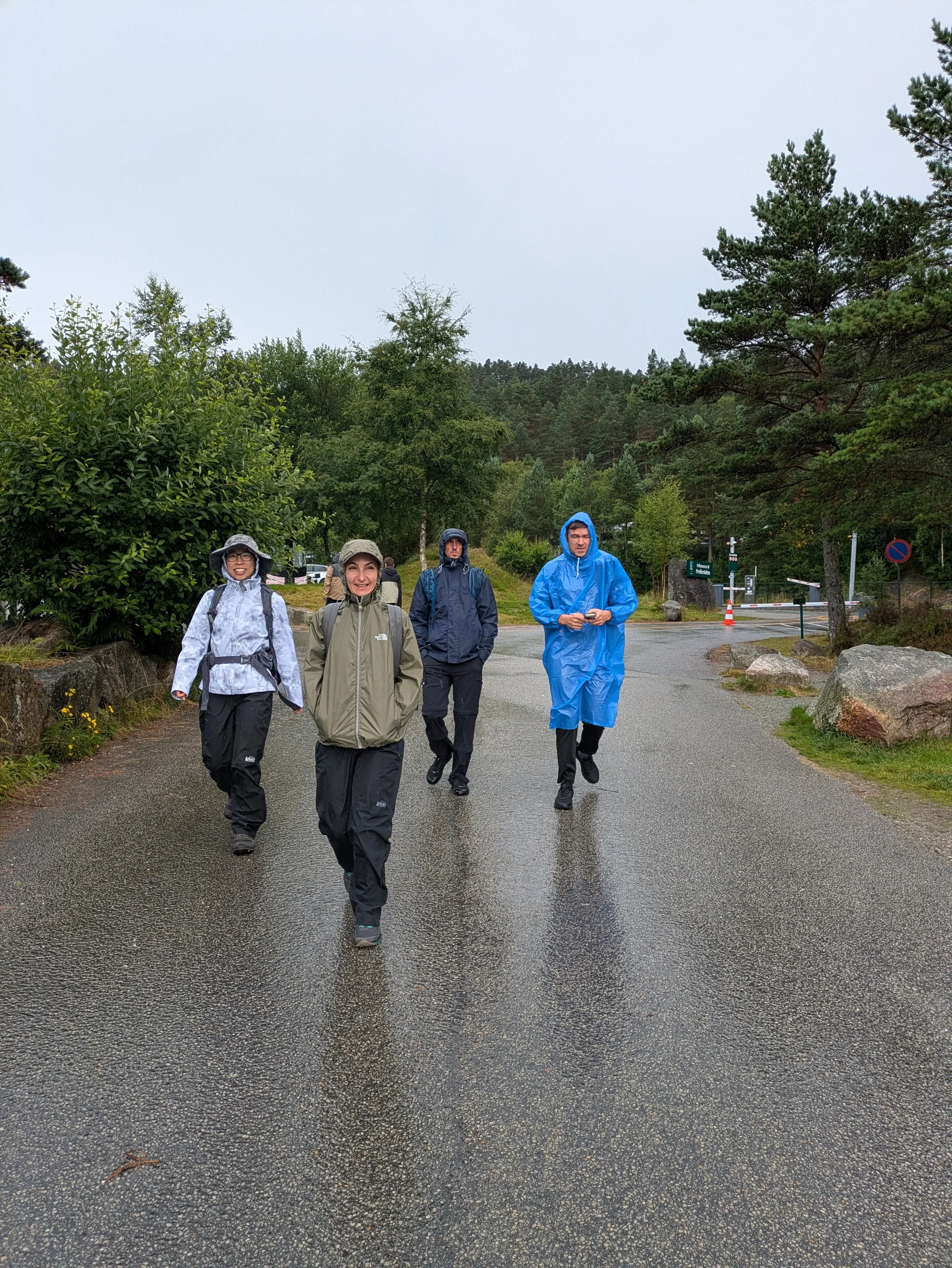
Whenever I arrive in a new place, my circle of comfort is small; everything feels unfamiliar. The weather forecast called for rain, and just as we were leaving the house, it started downpouring. It stopped shortly after, but there’s still something uniquely terrible about stepping out of a dry car to start a hike in the wet outdoors.
We set off around 11:00 AM. The trailhead had a large, paid parking lot (around $25) with nice restrooms. I ended up learning that this is the norm for hikes in Norway: massive, $20+ paid lots that fund trail maintenance and clean facilities.
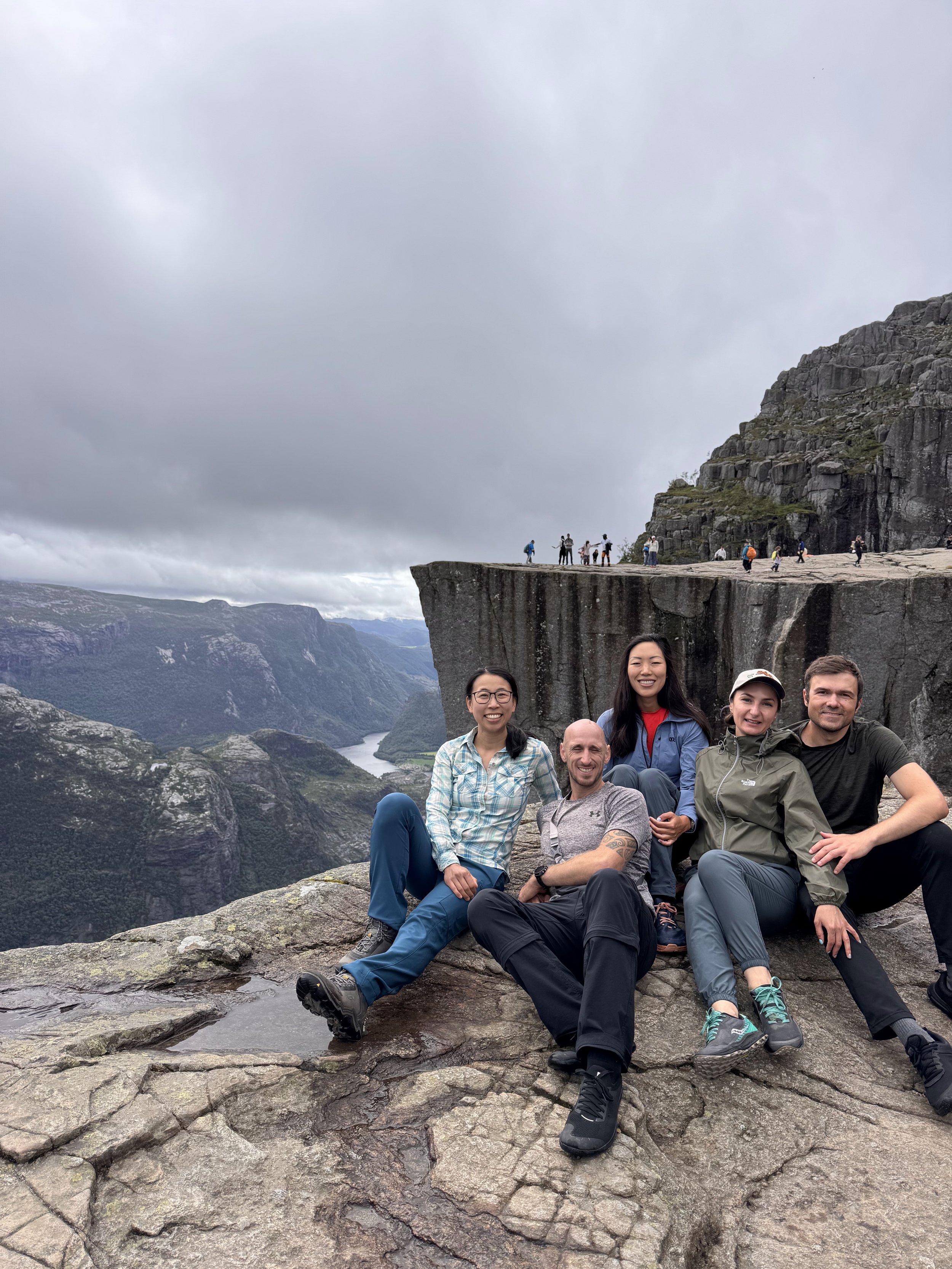
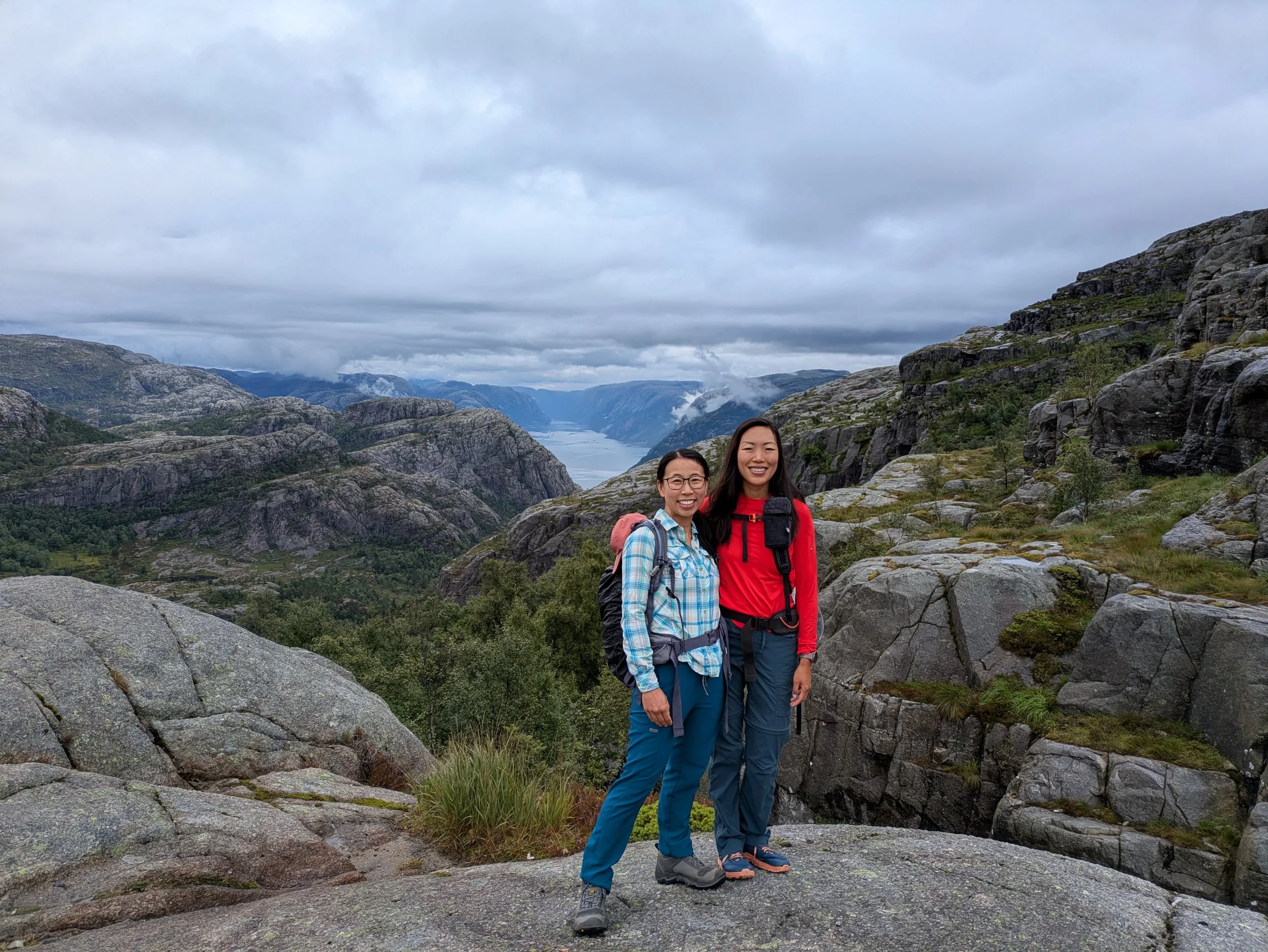
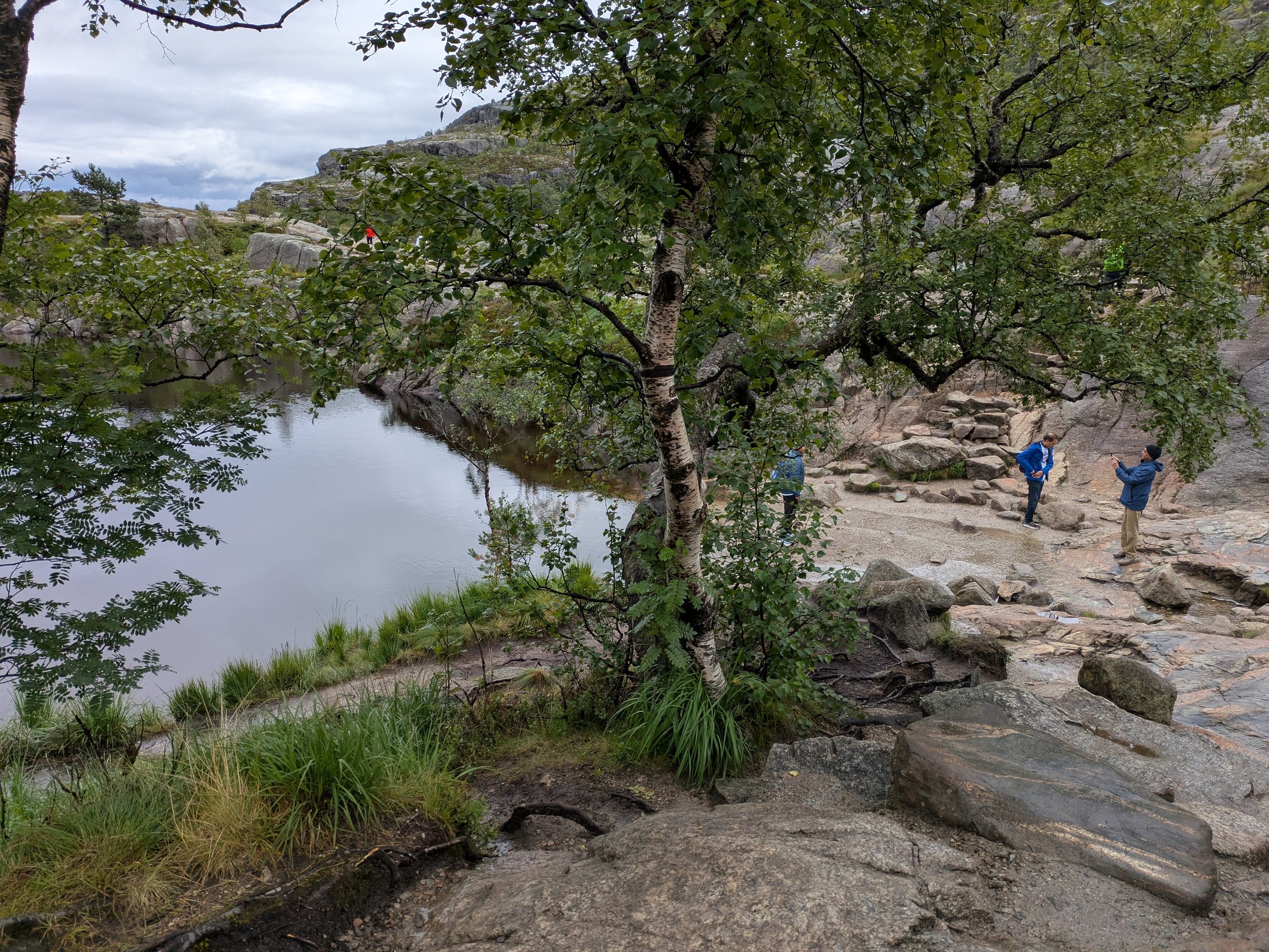
The trail itself was beautiful, but the true highlight was reaching the destination. The massive, flat cliff face really does look timeless—like a natural pulpit built for a preacher. People were waiting in a long line to take photos on the edge, but I didn't bother joining; the view from the side was stunning enough.
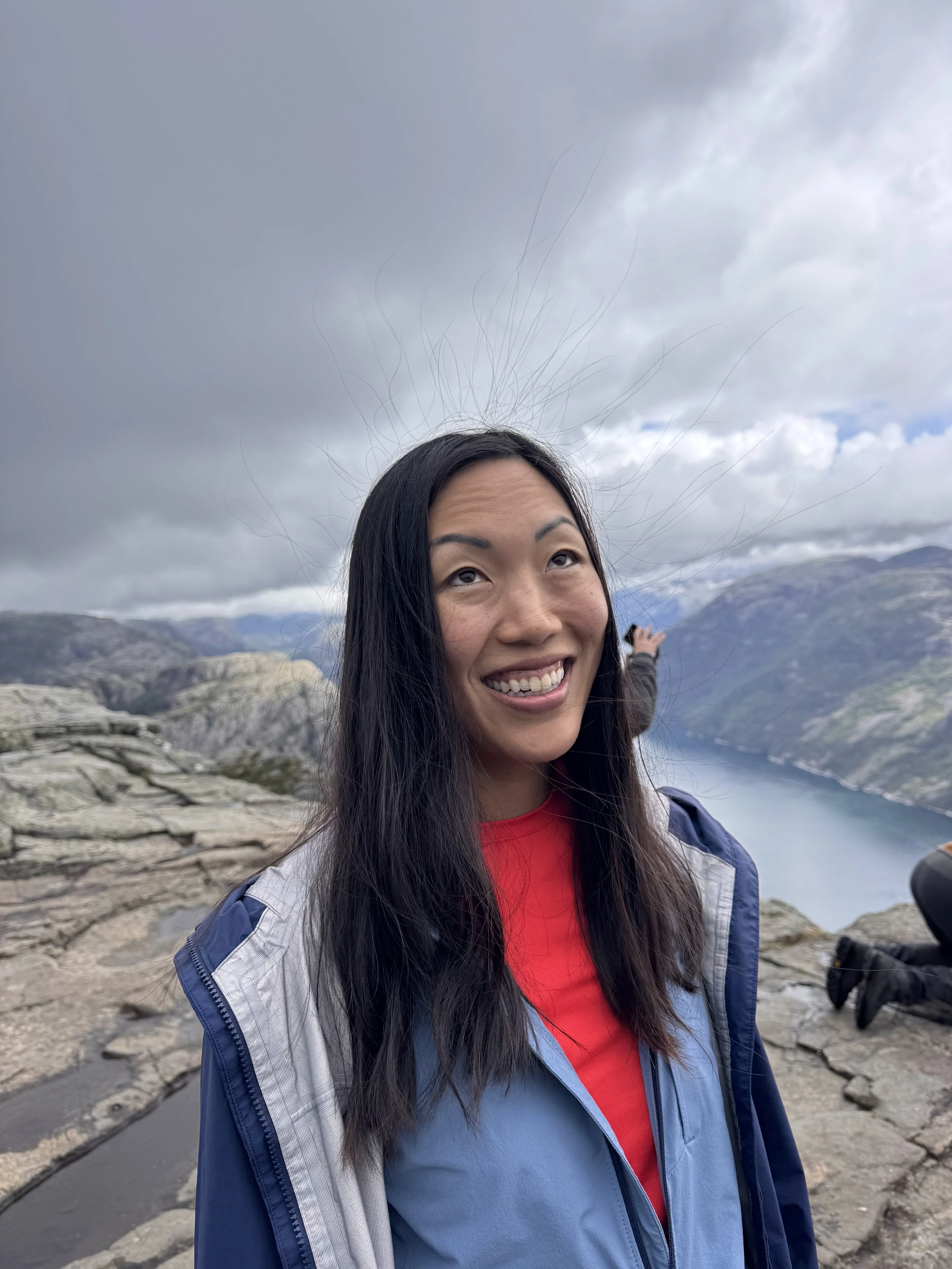
We lingered at the summit for a while, until Iryna suddenly noticed that all the hair on my head was standing straight up. I wasn't sure if it was just static or a sign of an impending thunderstorm, but seconds later, dark clouds rolled in. That was our cue to bounce.
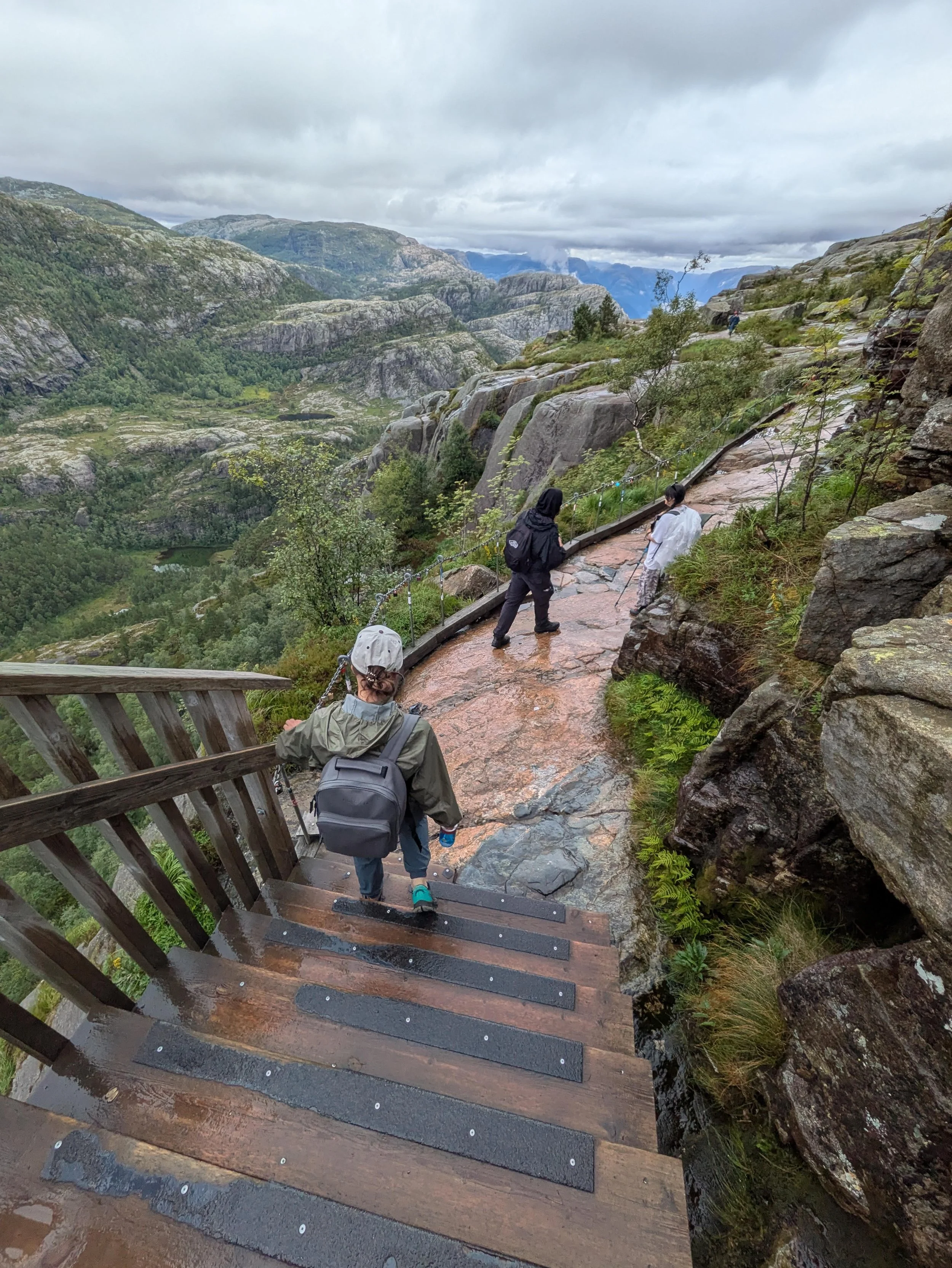
We retraced our steps down the giant stone stairs and headed back through the rain. All in all, the hike was nearly 6 miles roundtrip with 1,700 feet of elevation gain. Counting our extra time taking in the views at the top, it took us just about 4 hours.
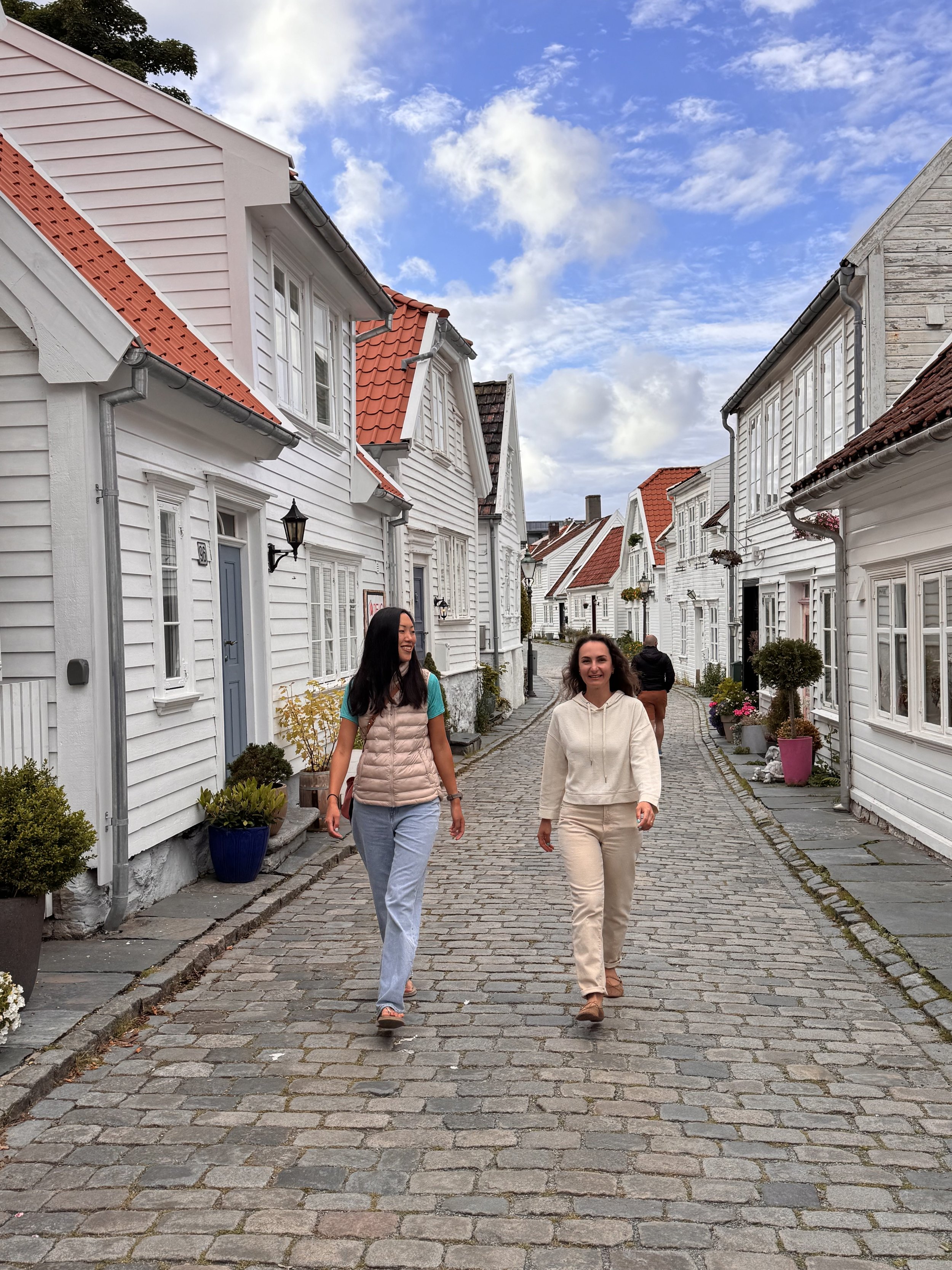
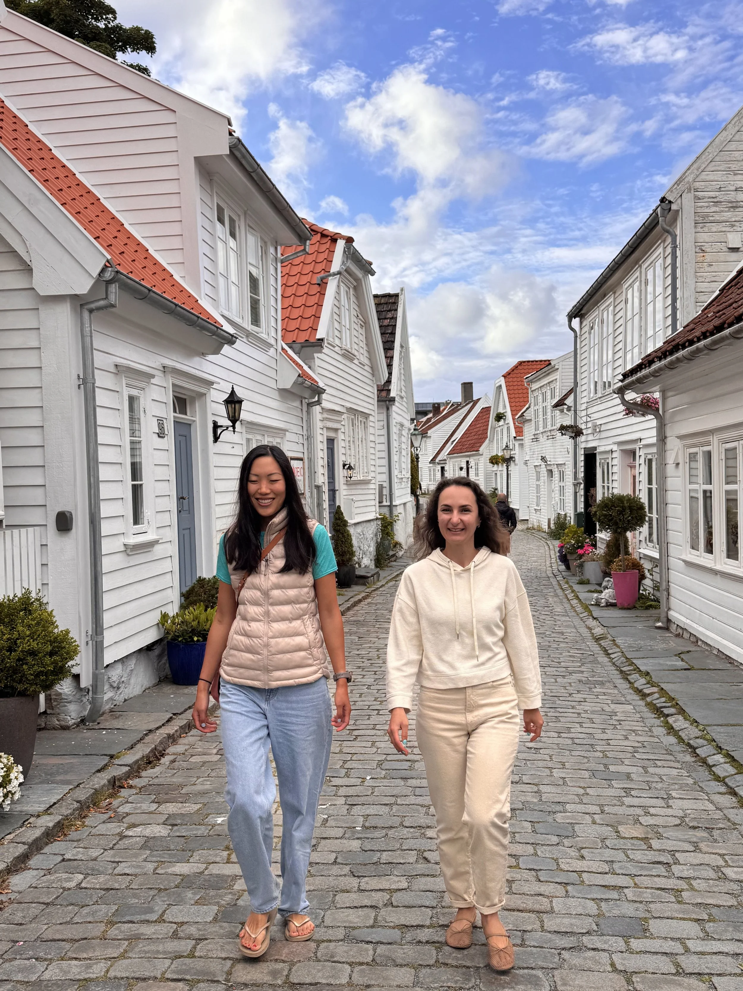
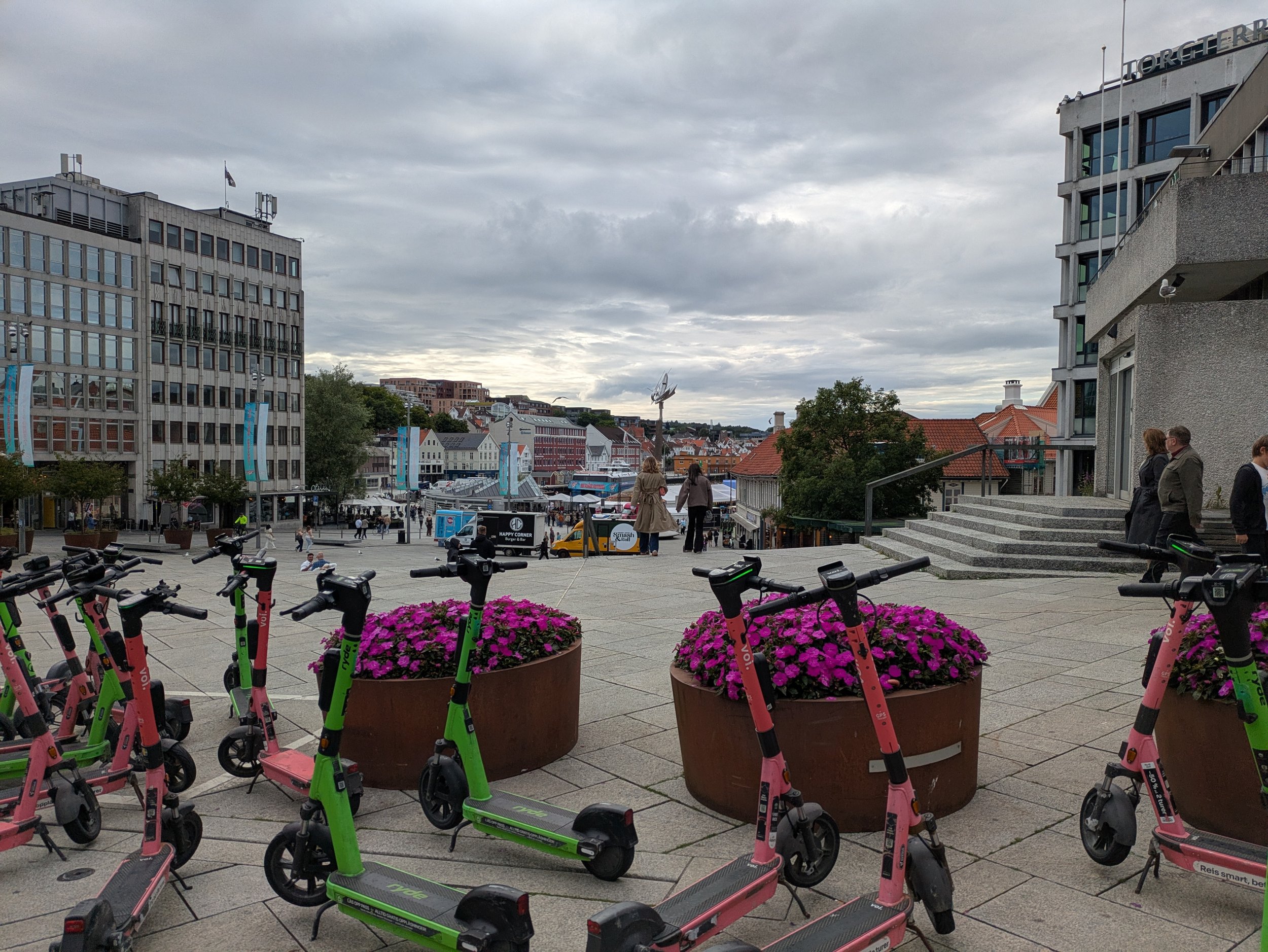
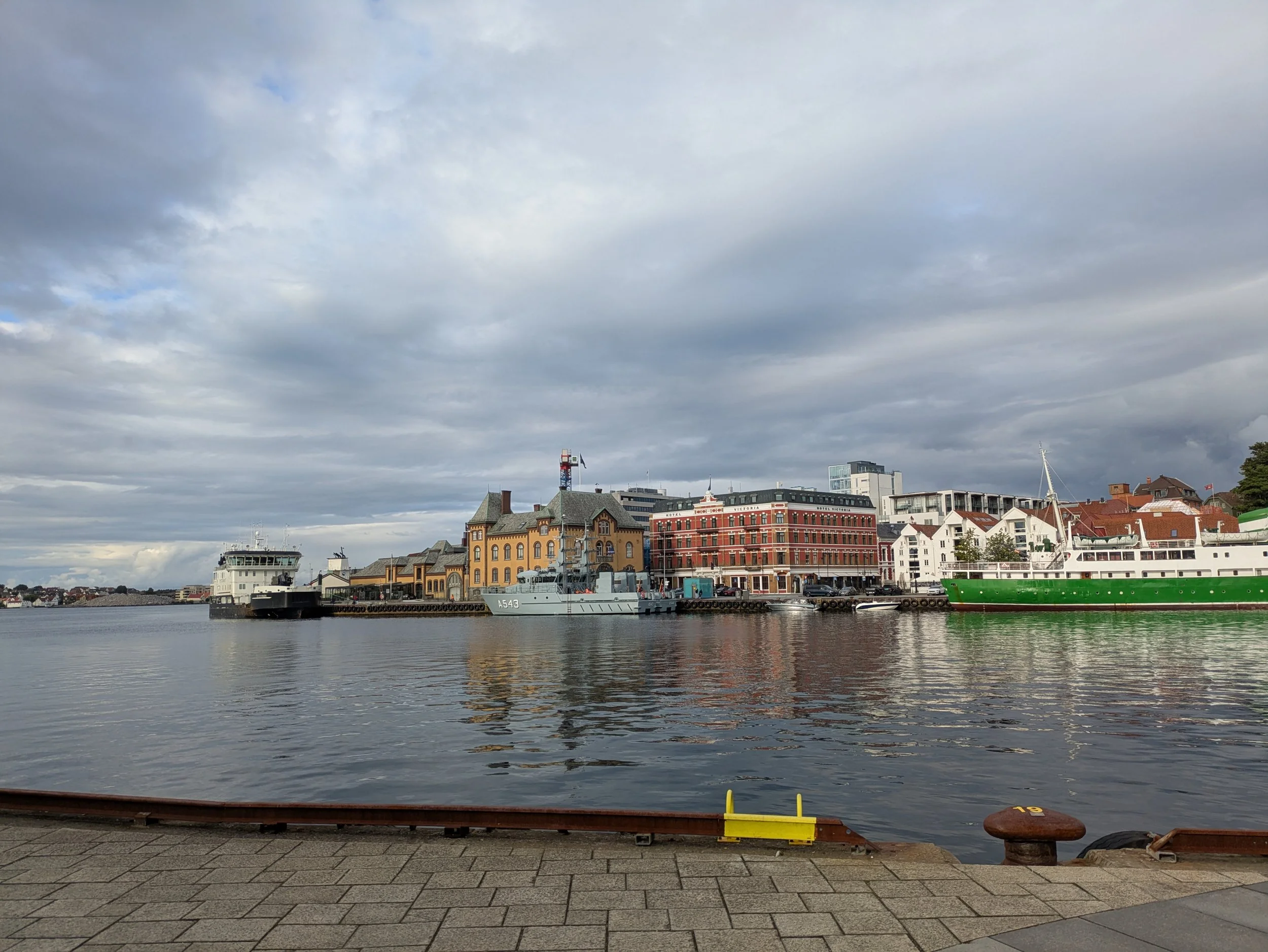
After heading back from Pulpit Rock and taking a quick, well-earned shower, we set off to explore nearby Stavanger. We spent the afternoon wandering through Gamle Stavanger, the historic old town, where narrow cobblestone streets are lined with charming white wooden homes and quiet neighborhoods. There’s something special about coastal cities—an easygoing, peaceful rhythm that immediately slows you down. We drifted through the streets, grabbed some ice cream, and ended up striking up a conversation with an American family who happened to be doing the exact same thing.
Day 3: Hike Kjeragbolten
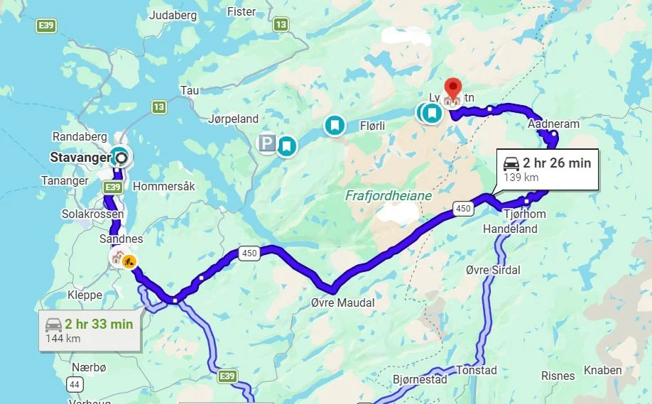
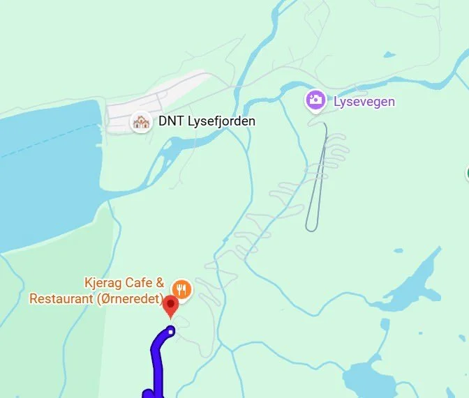
The next morning, we checked out of our Airbnb and set off toward Kjerag—home of Kjeragbolten, the famous boulder wedged precariously between two vertical mountain walls. Our original plan was simple: drive to our next accommodation, grab a quick lunch, and then head to the trail, since the stay was only 20 minutes from the trailhead.
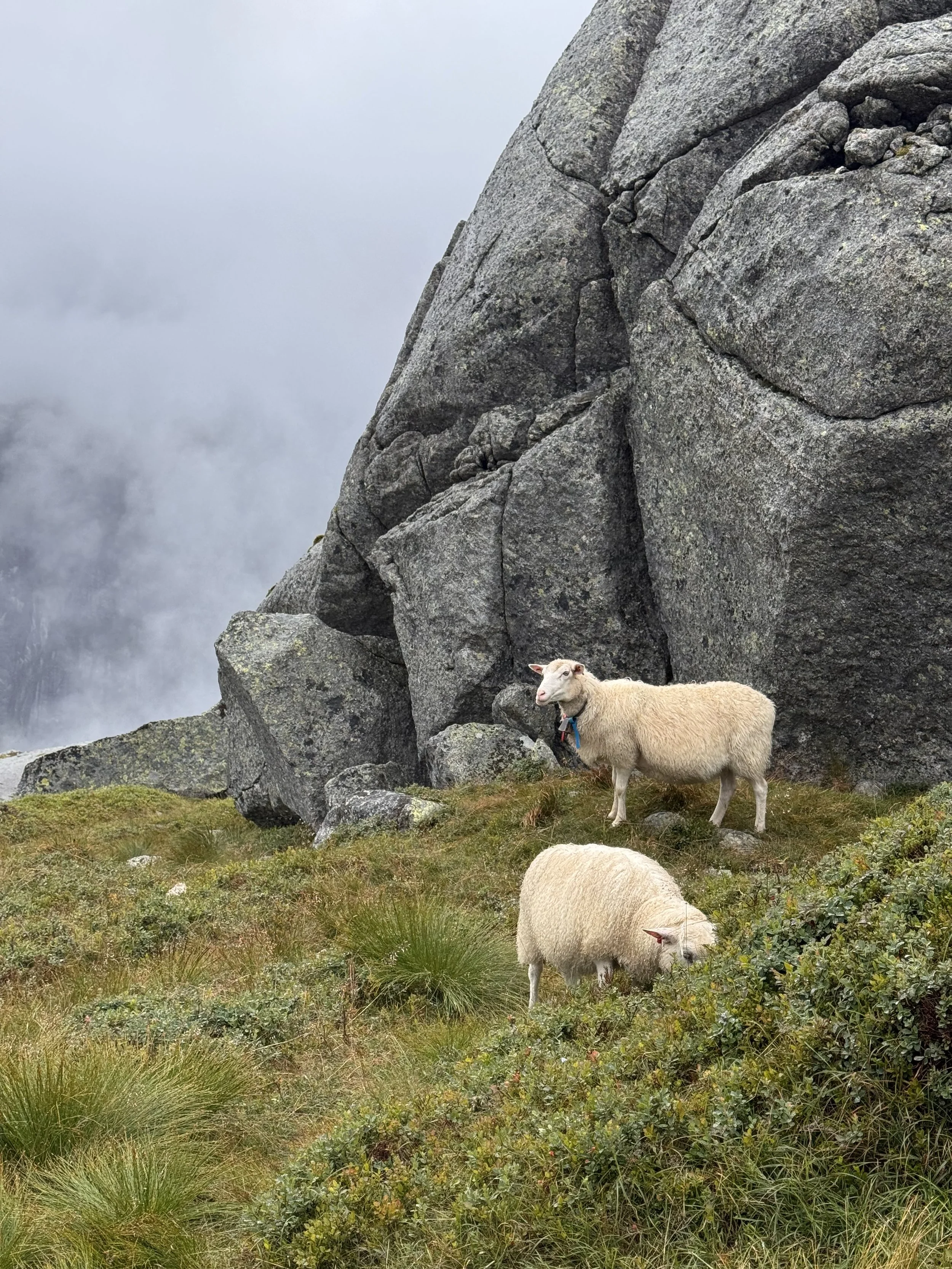
The initial drive out of Stavanger was smooth and straightforward, following easy two-lane roads through sweeping, picturesque valleys. But about 30 minutes remaining, as we turned off Route 450, the terrain shifted dramatically. The road narrowed to a single lane dotted with passing places, free-roaming sheep, and endless rock cairns lining the edges. It felt so remote and wild that we joked it was prime troll territory.
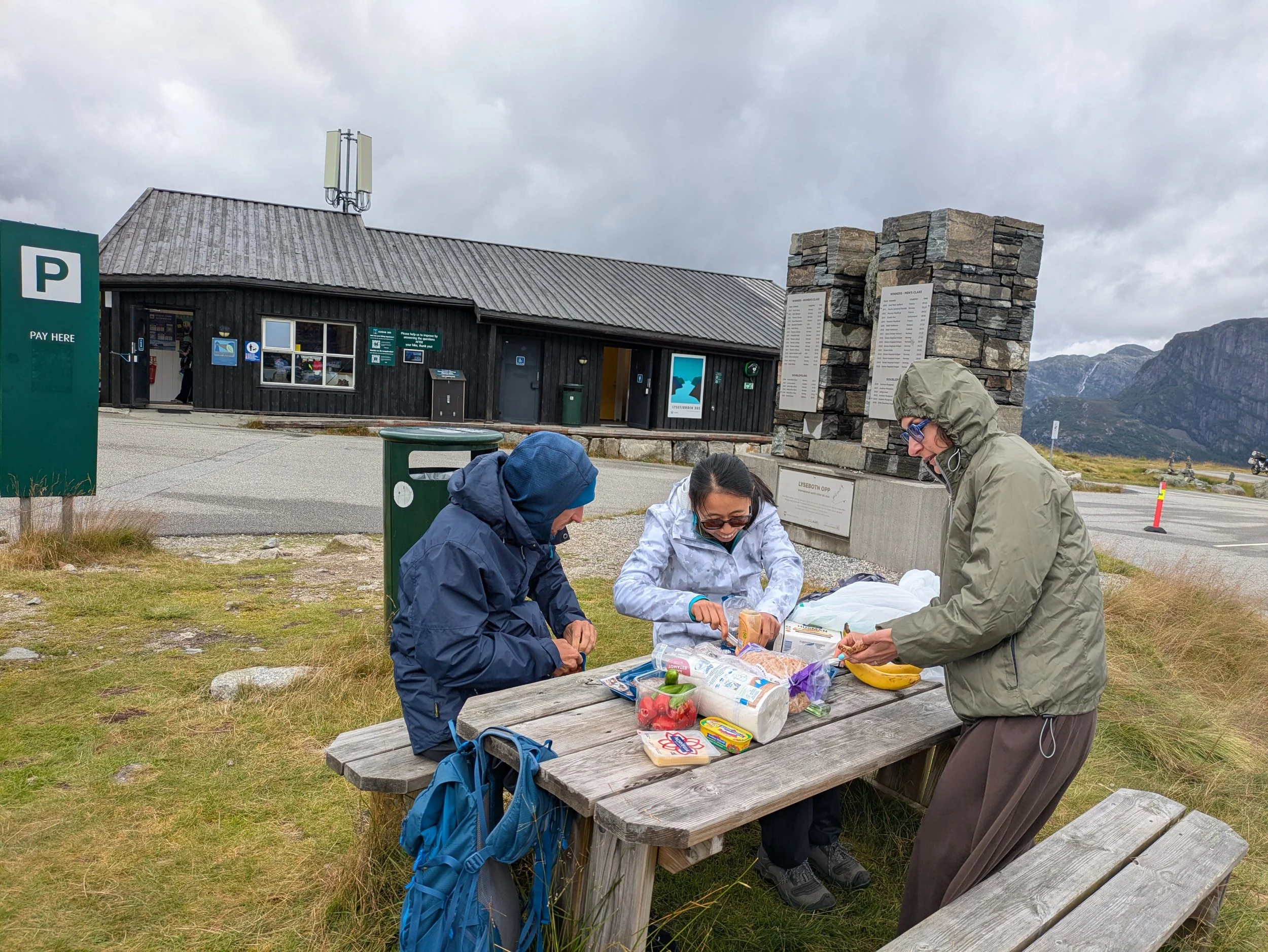
As we got closer, we realized the final stretch down to our cabin involved a dizzying set of steep switchbacks—and that quick "20-minute" drive was going to be much more of an adventure than we bargained for. So, we did what any flexible traveler would do: pivoted, grabbed our gear, and set up a picnic right at the trailhead before starting the hike. With the cold wind whipping across the parking lot, we bundled up in our layers and dug into fresh bread topped with brunost (Norwegian brown cheese), smoked mackerel, and fresh fruit—the perfect pre-hike fuel.
The hike to Kjerag (and its famous wedged boulder, Kjeragbolten) is a rugged, thrilling, and surprisingly technical trek that tests your endurance early on before opening up into a stark, high-alpine plateau.
Compared to Pulpit Rock (Preikestolen), Kjerag is significantly more physical, open, and exposed to the elements.
At a Glance
Distance: ~11 km (6.8 miles) out-and-back
Elevation Gain: ~750 to 800 meters (2,500+ ft)
Duration: 5 to 7 hours round-trip
Terrain: Bare granite rock slabs, chain-assisted scrambles, open boulder fields, and a high-mountain plateau
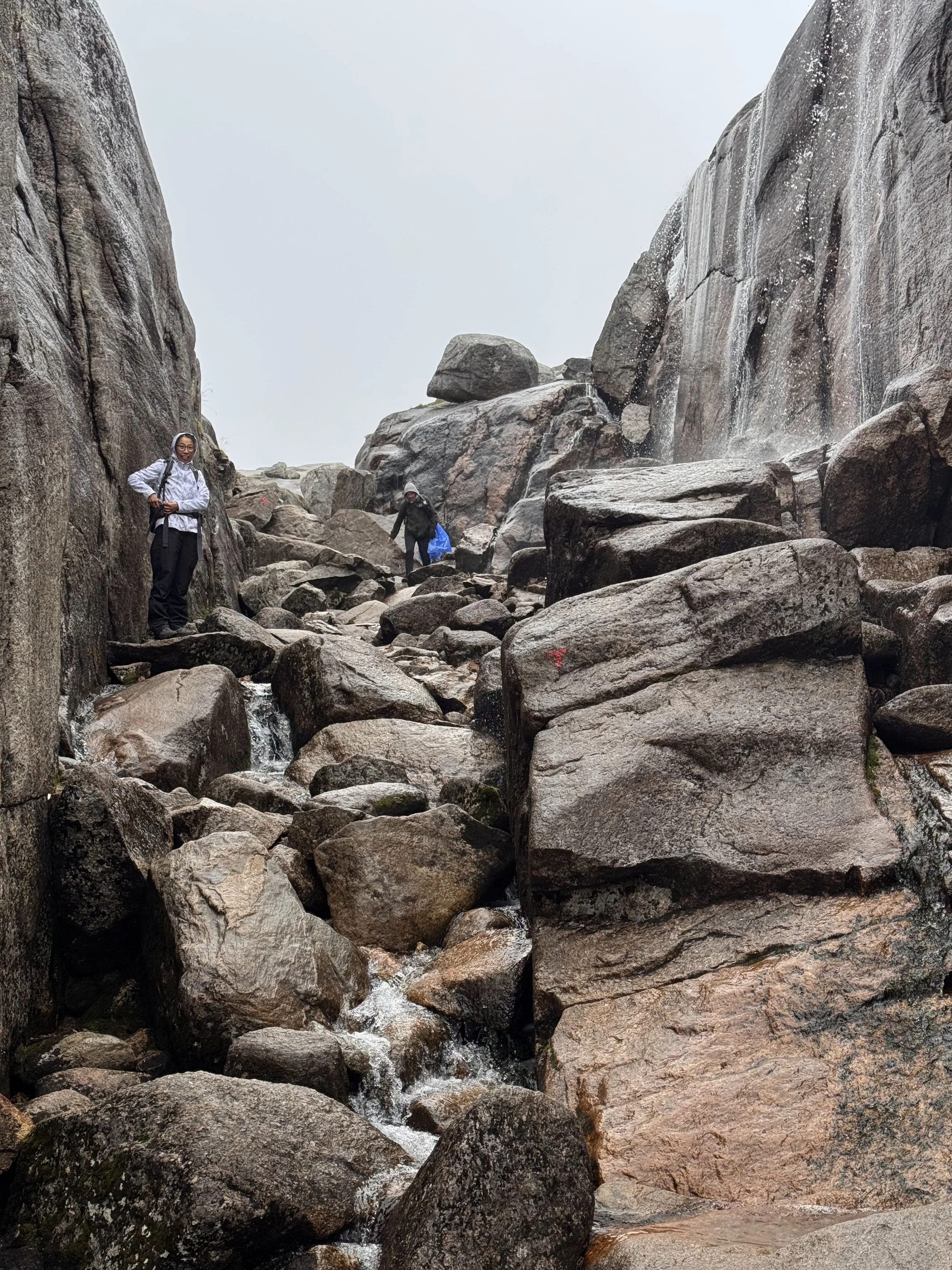
Trail Markers: Classic painted red "T"s on rocks and cairns
The Profile: A Rollercoaster of Three Peaks
Unlike hikes that go straight up a single mountain, Kjerag tests you with three distinct ascents and two descents on the way out, meaning you'll climb both ways.
The First Climb (The Warm-Up Challenge):
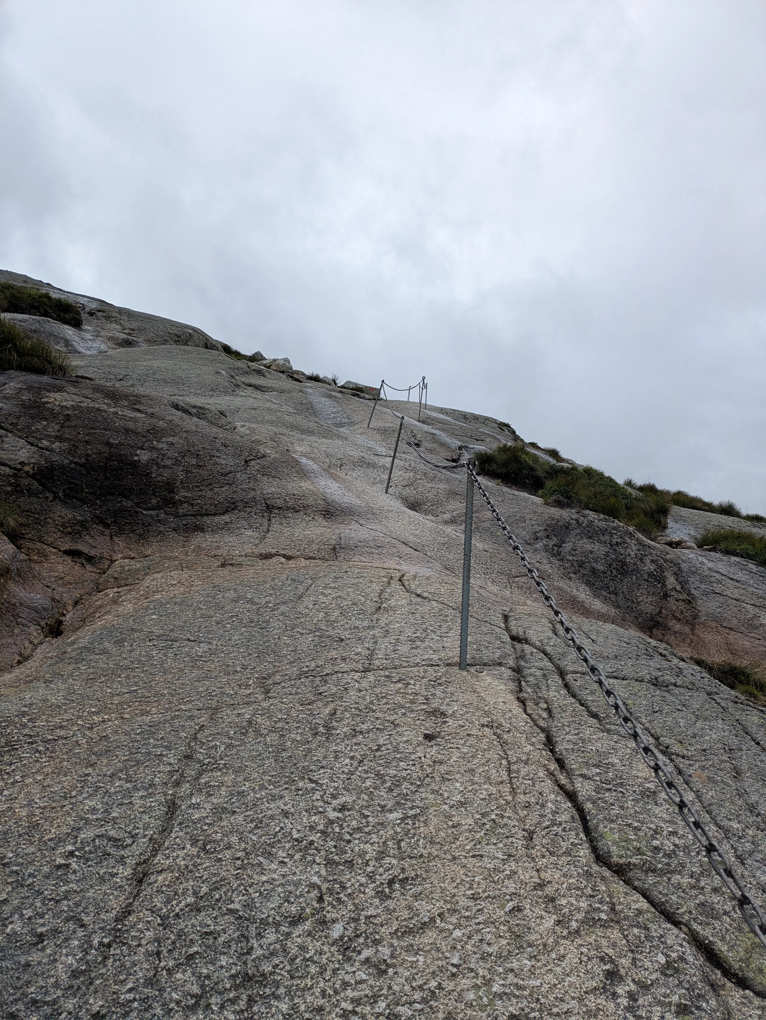
Straight out of the parking lot at Øygardsstøl, the trail wastes no time. You immediately begin ascending steep, exposed granite slabs.
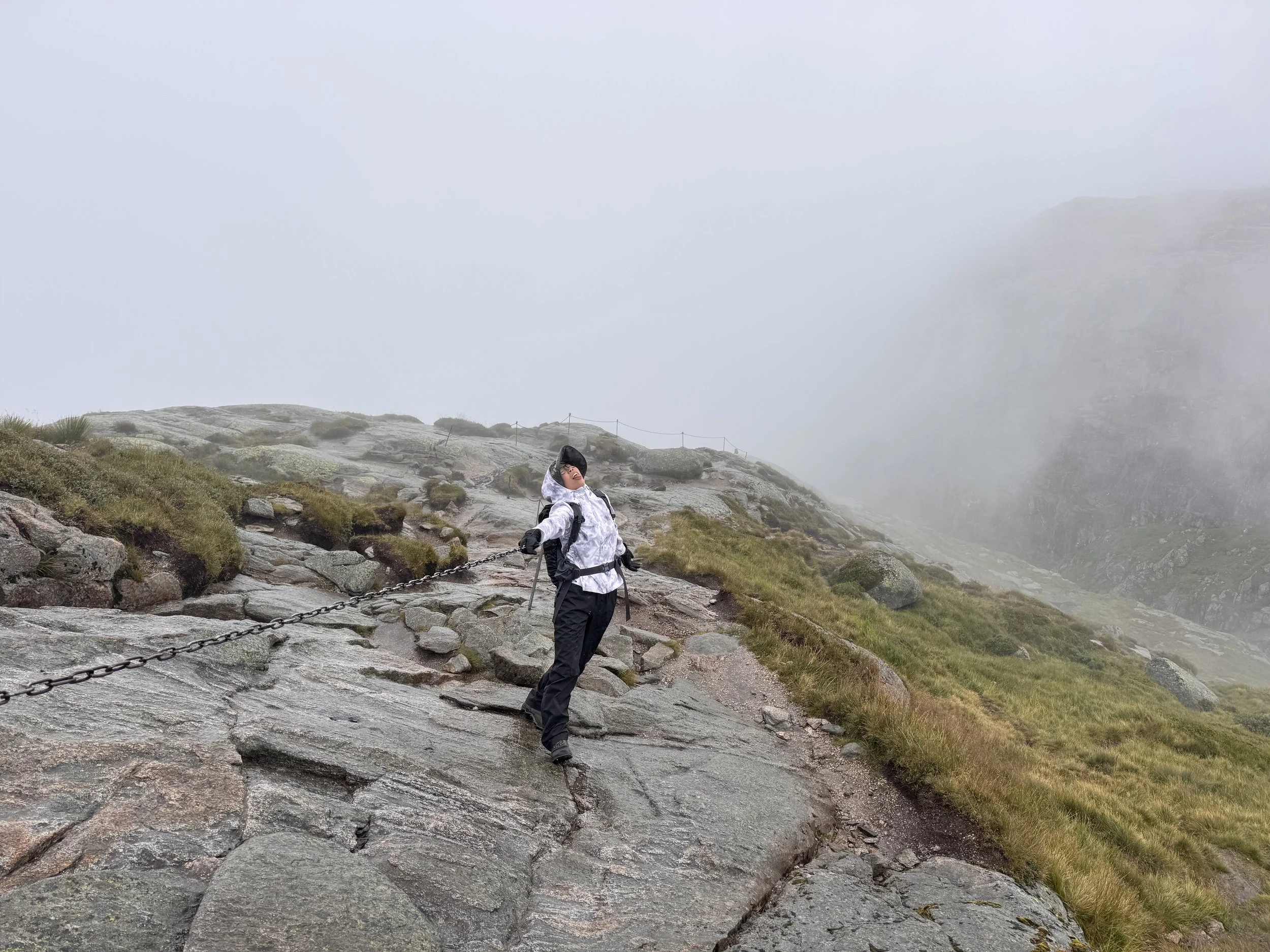
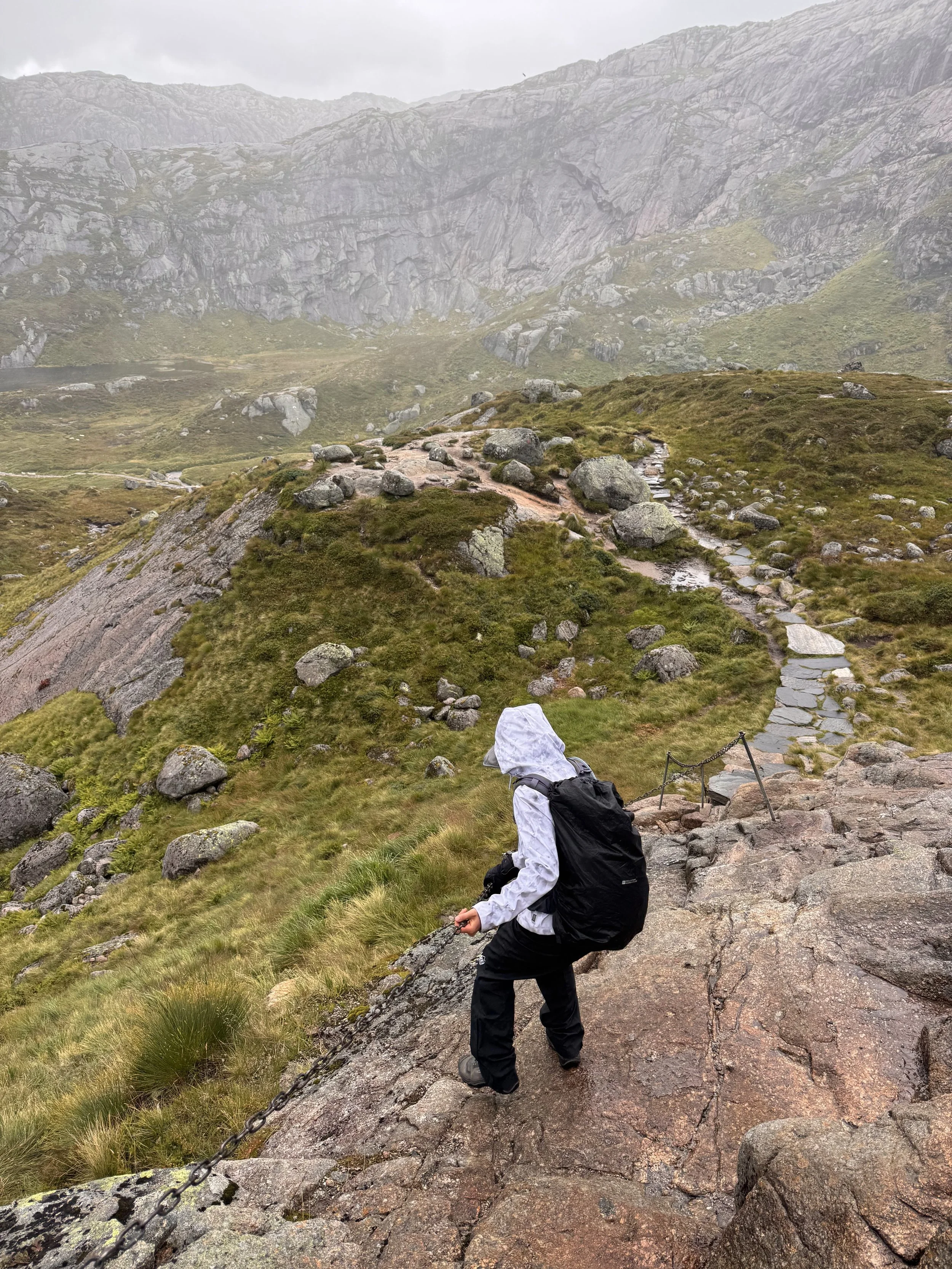
The Chains: Metal safety chains and posts are bolted directly into the bedrock to help you haul yourself up. You could choose to use the chain (gloves were really helpful) to pull yourself up. I didn’t need to use it mostly, except for some tricky section where I felt unsafe on the wet rocks.
2. The Valleys & Middle Ridges:
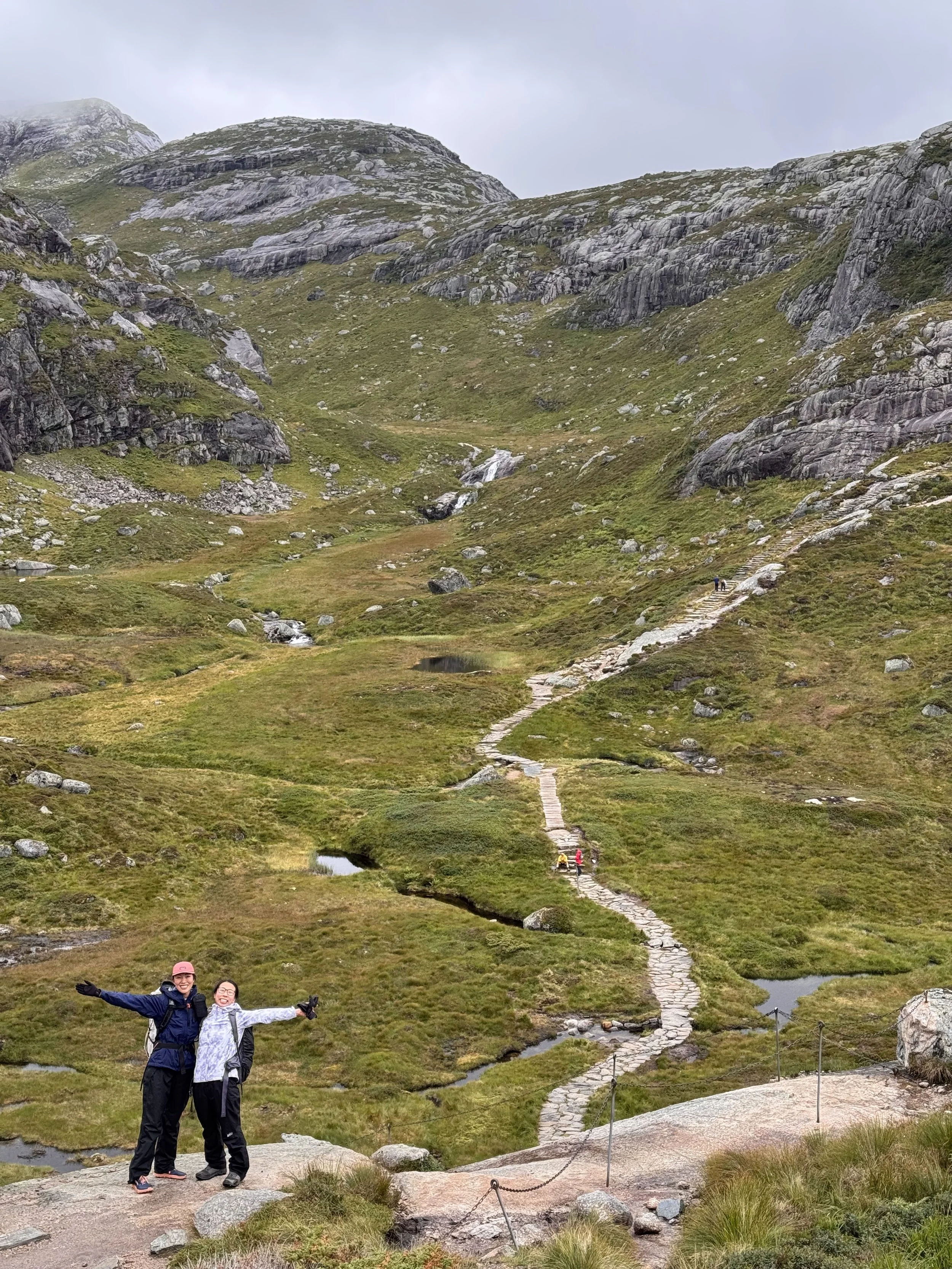
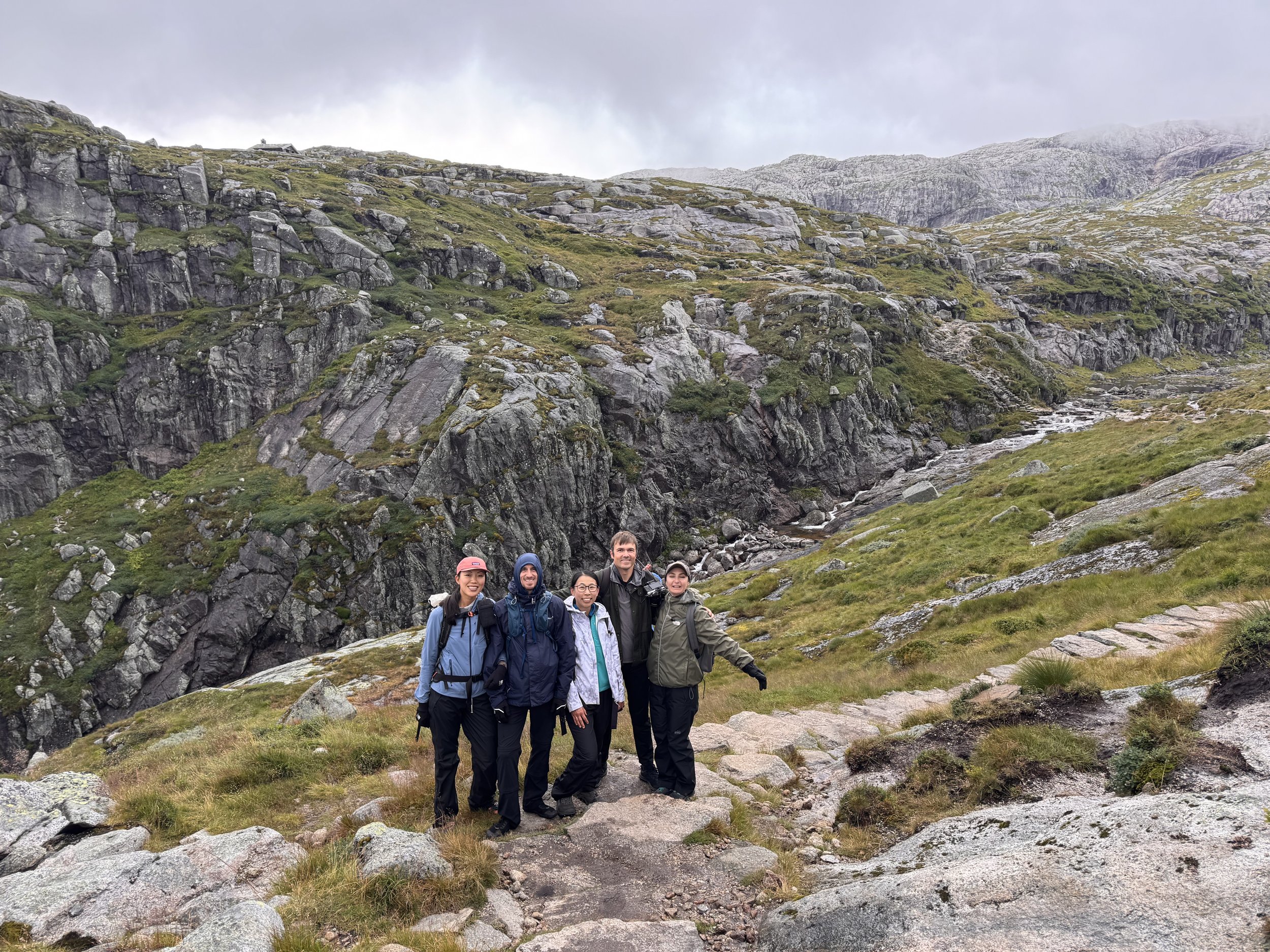
After topping the first ridge (around 825m), the trail drops down into a small valley via wooden steps and rock paths, crossing a mountain stream.
We could see the the second major steep climb—again with chain sections—before dipping down into another small valley.
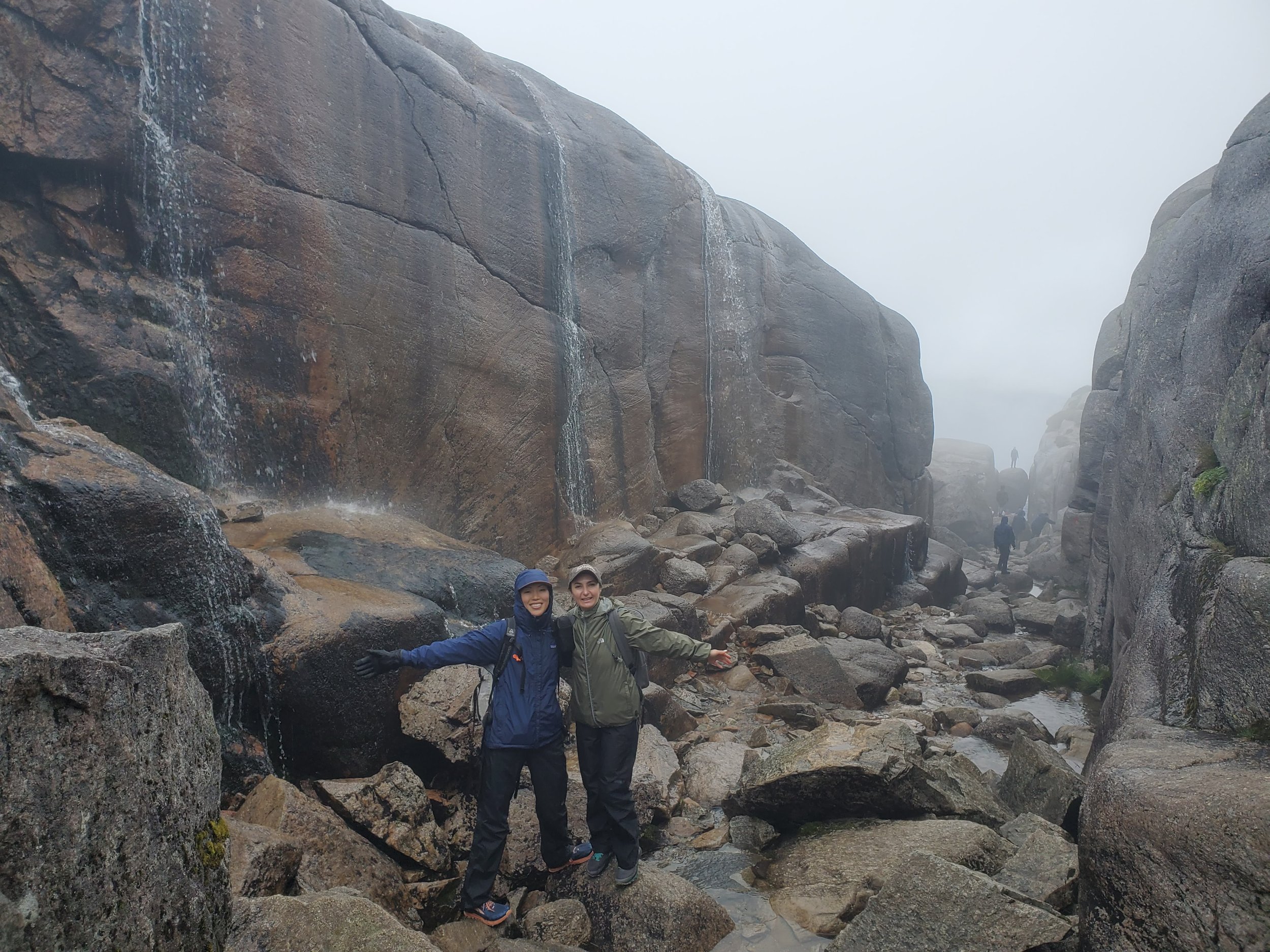
The Final Push & The High Plateau:
The third climb brings you up to the main high mountain plateau at roughly 1,000 meters above sea level.
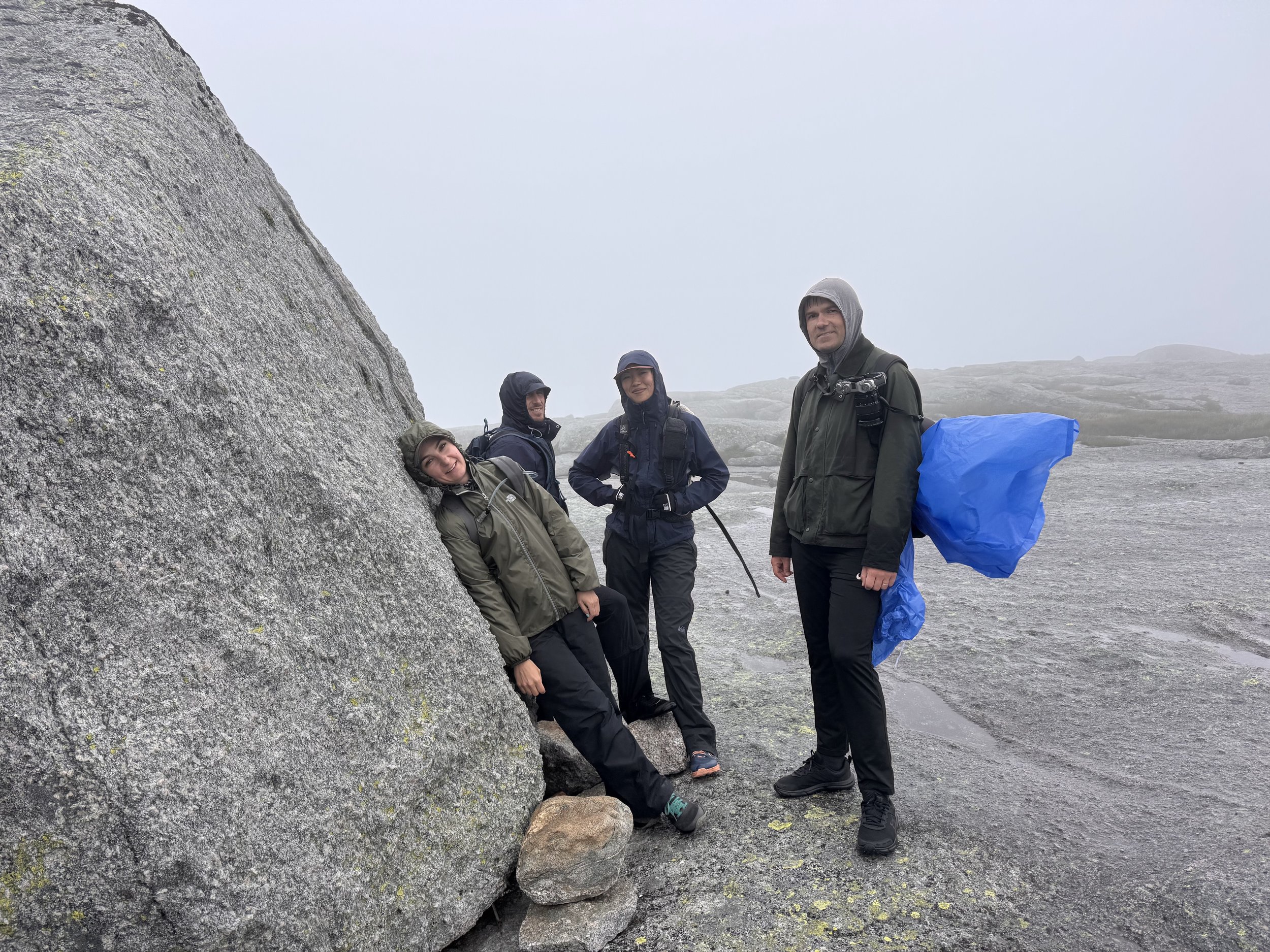
Once on top, the steep scrambling ends. The final ~2 km across the plateau feels almost lunar—a flat, wide, barren expanse of smooth rock, stone cairns, and snow patches (even into mid-summer).
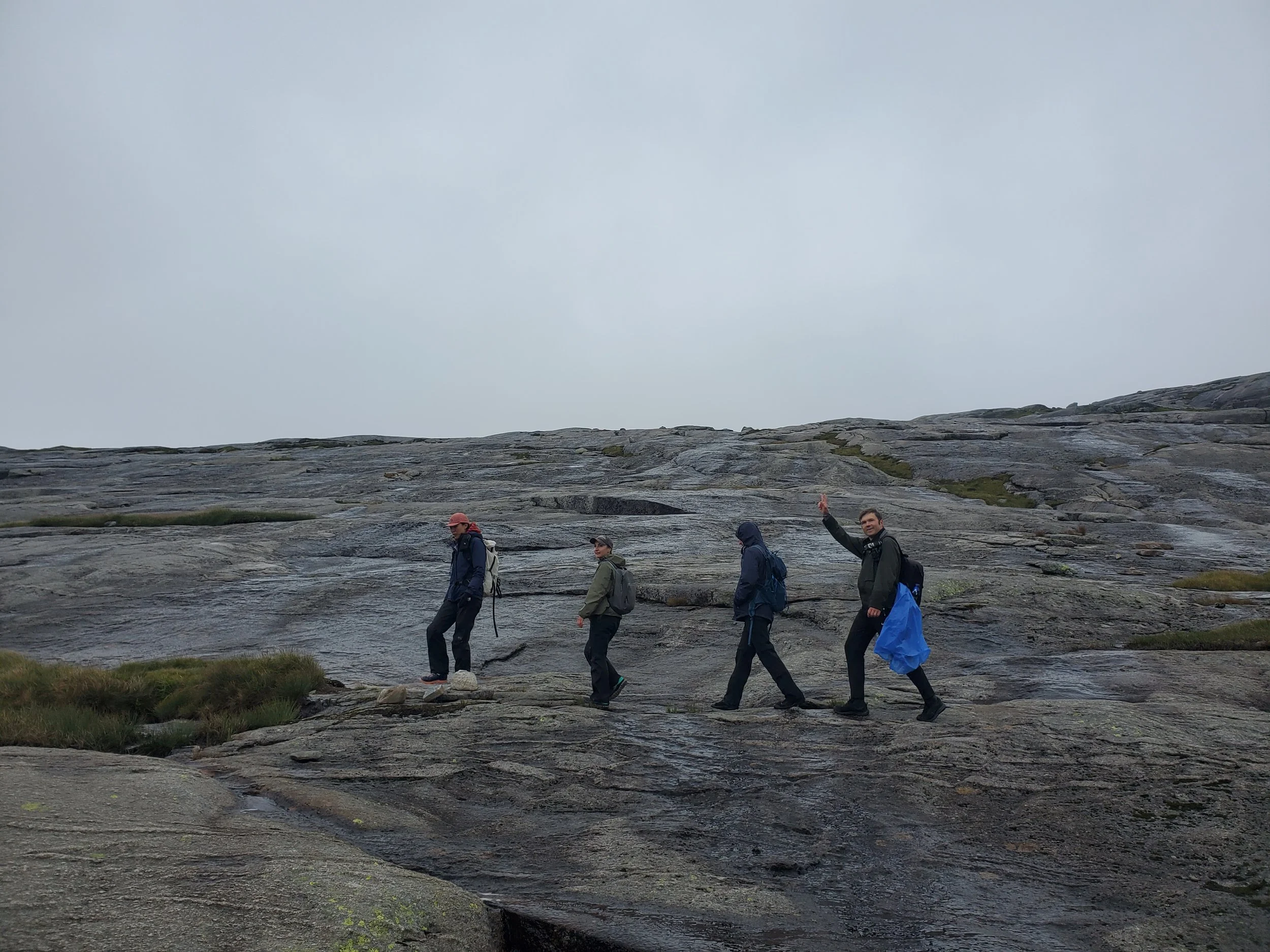
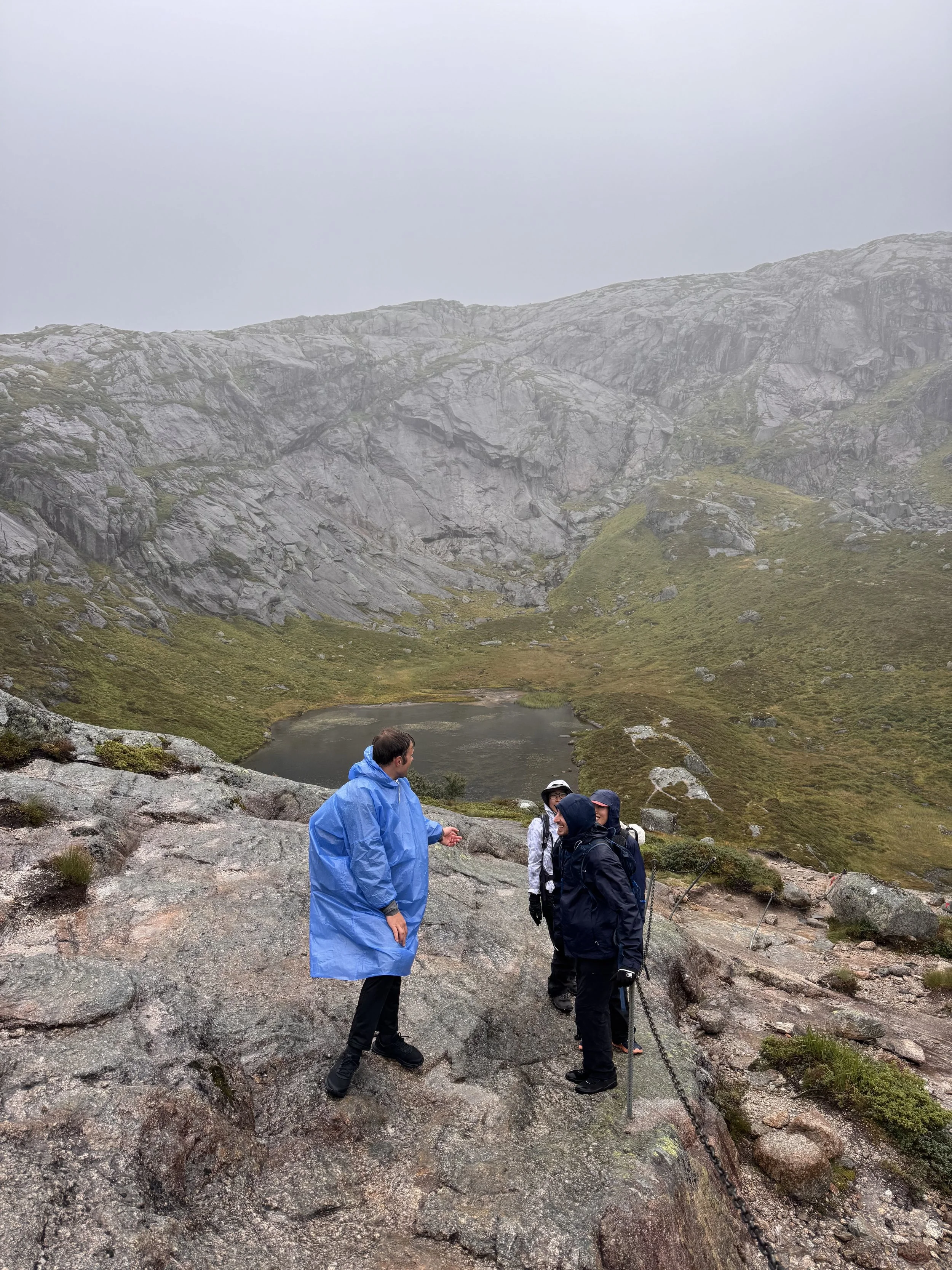
By this point, the relentless incline, biting wind, and steady drizzle—classic Norwegian weather—were starting to wear on the group. Between frequent photo breaks and the cold rain, that final mile felt endless. We kept scanning the barren landscape, passing giant boulders scattered across the plateau and wondering, where on earth is this wedged rock?
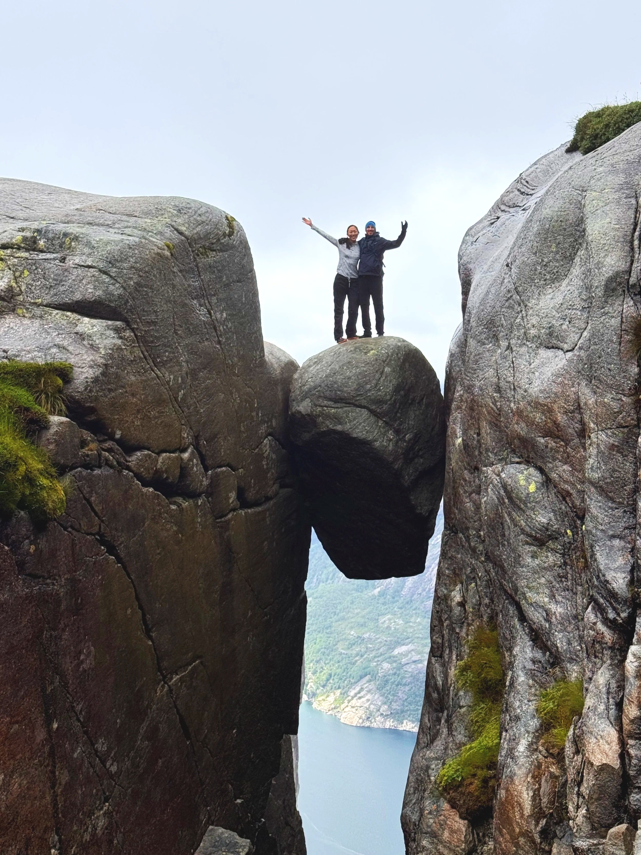
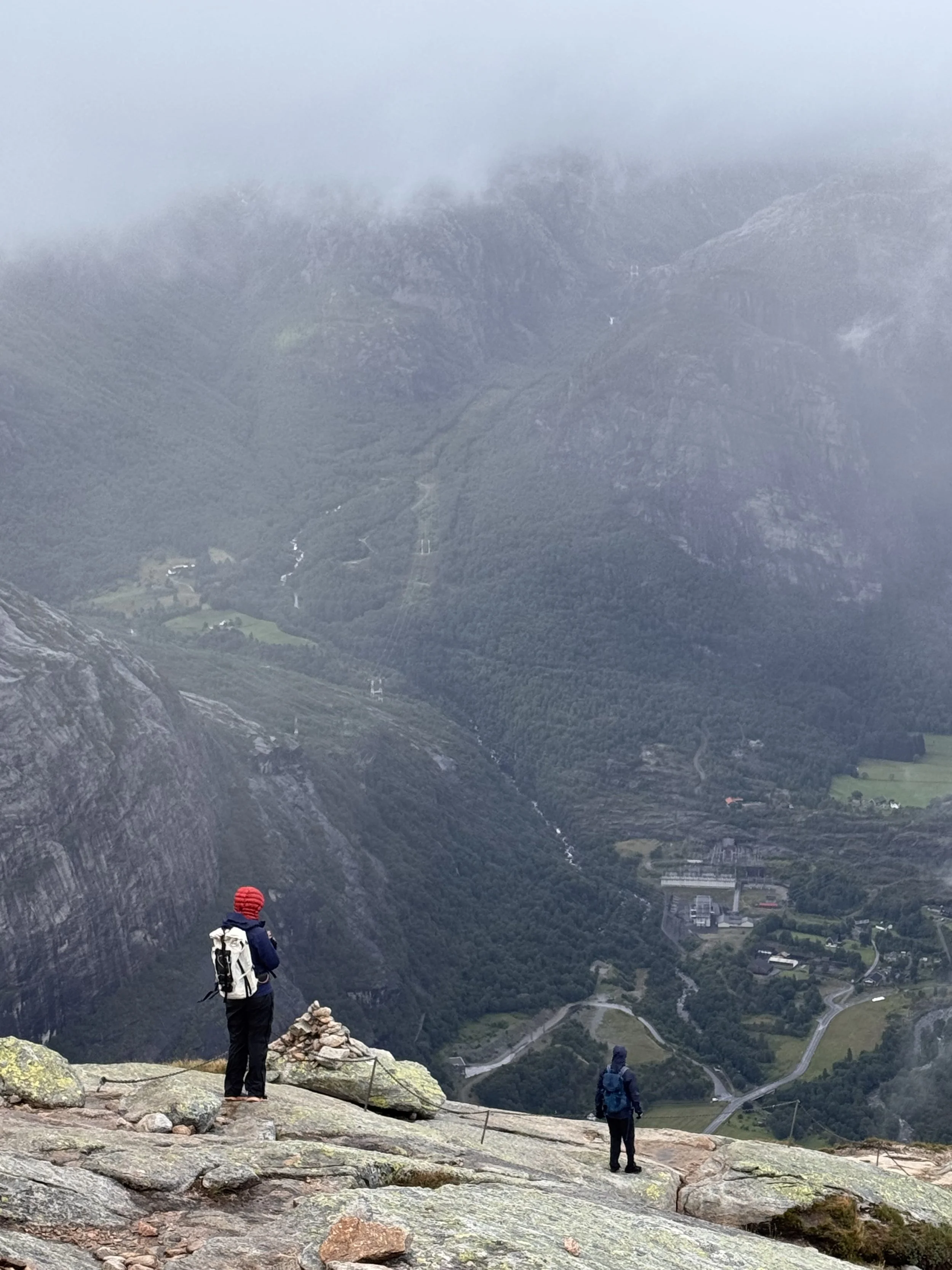
Finally, a trail marker appeared, pointing us toward the cliff edge. We followed its direction and soon spotted it: the famous boulder sitting right at the end of a dramatic open ravine. The very last stretch ended up being one of the best parts of the trail. Thanks to the rain, tiny waterfalls cascaded down the surrounding rock walls, and we boulder-hopped through the stream to reach the edge.
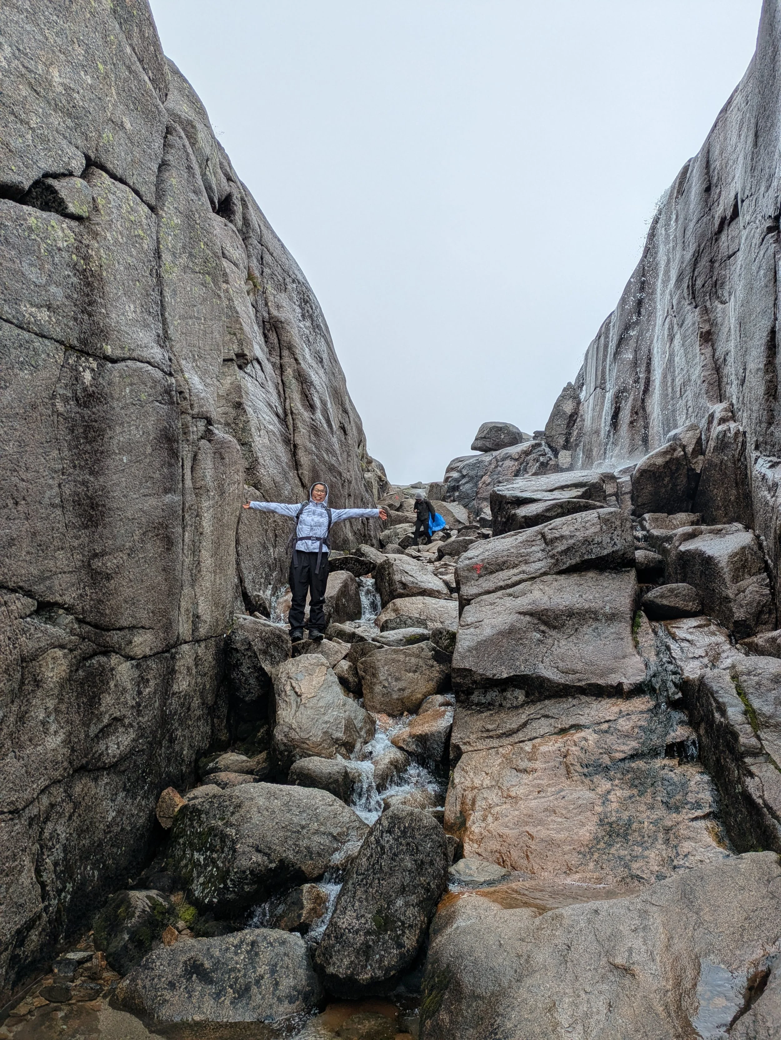
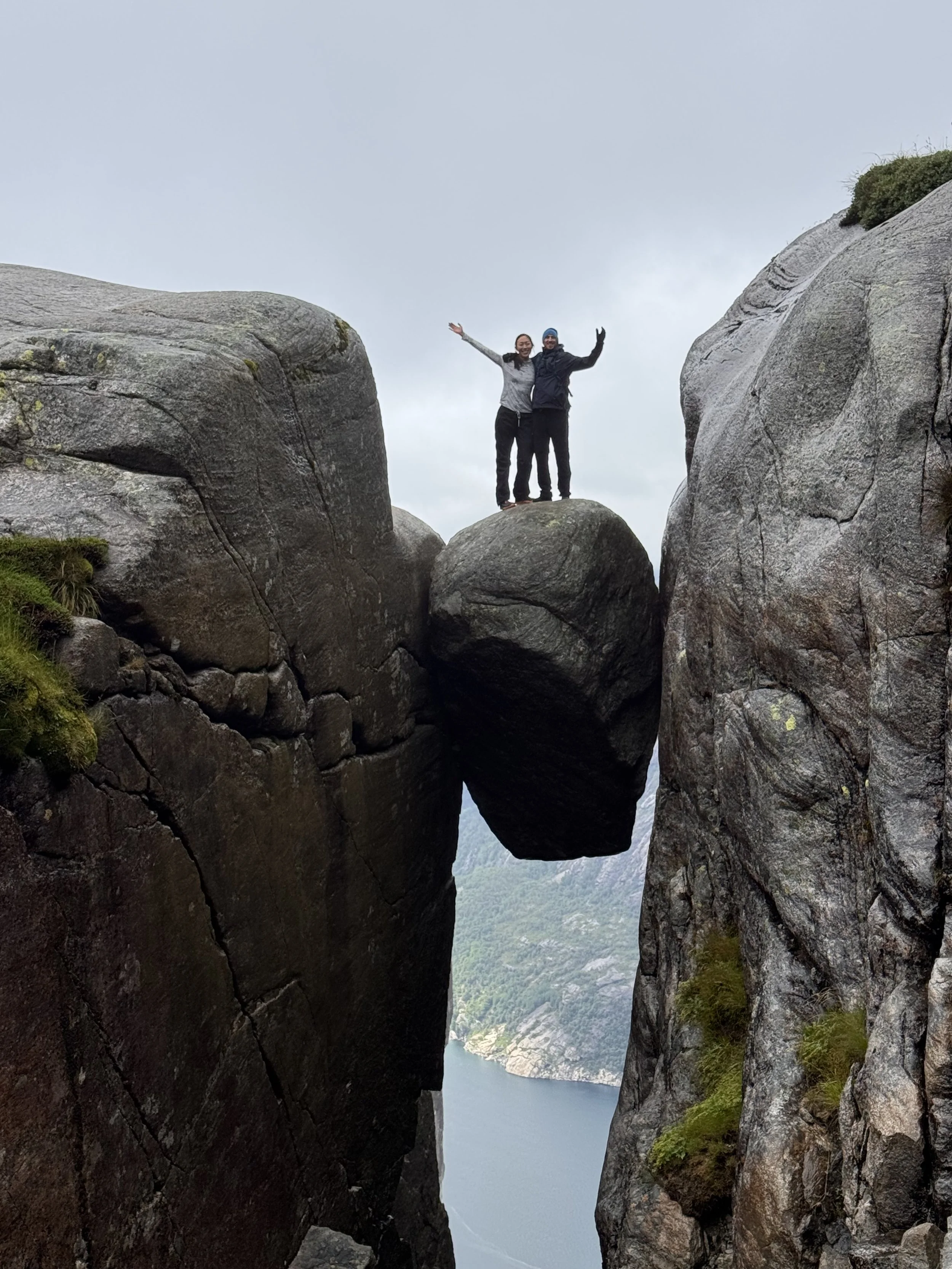
The boulder between rock cliffs
How scary is it to stand on the boulder between rock cliffs?
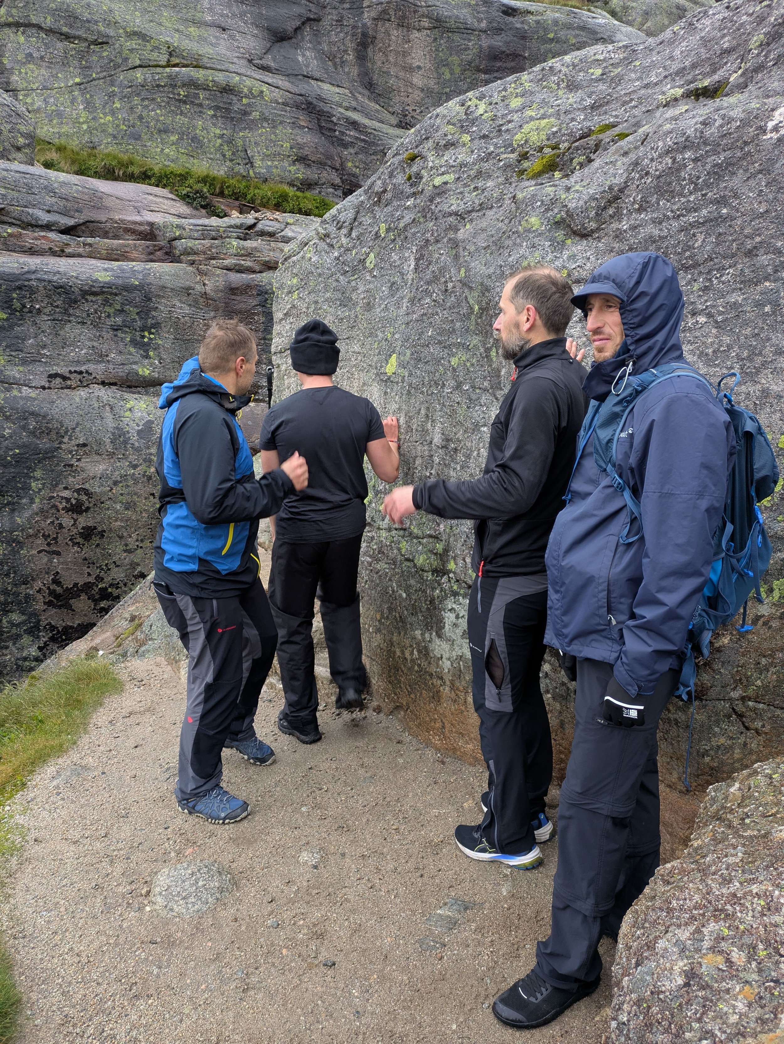
This is the line to the rock, the rock is directly around this big boulder. There is a large drop all around.
For two people it’s a bit tight but still doable - not advisable for more than 2 people!
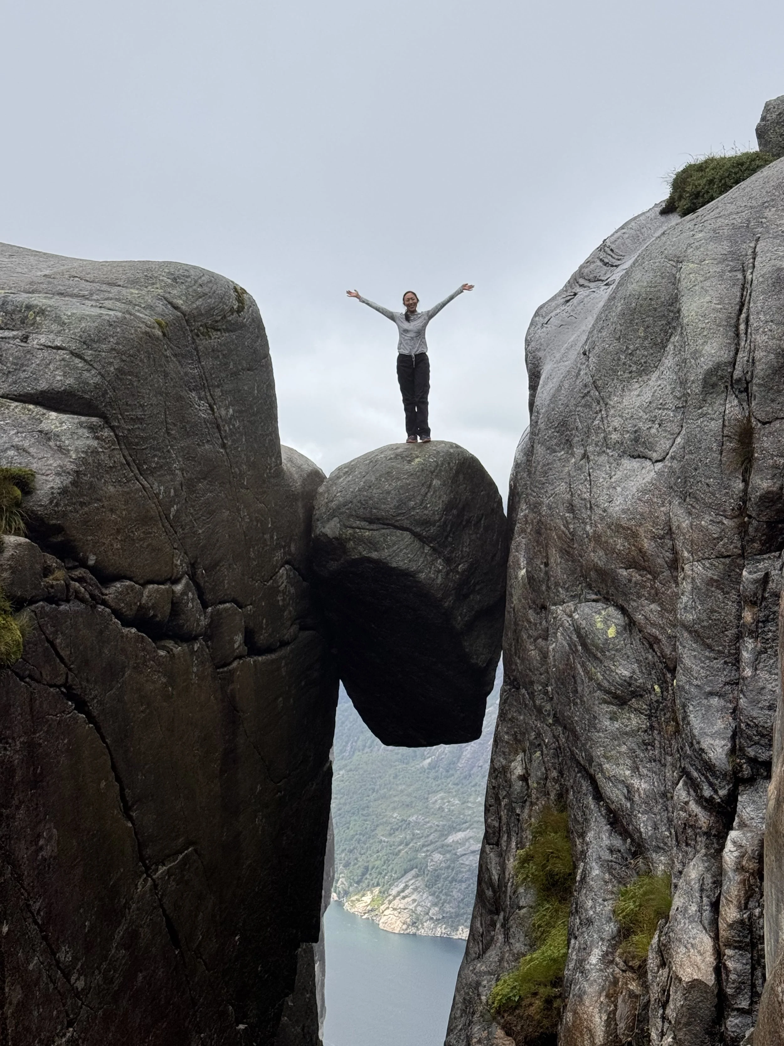
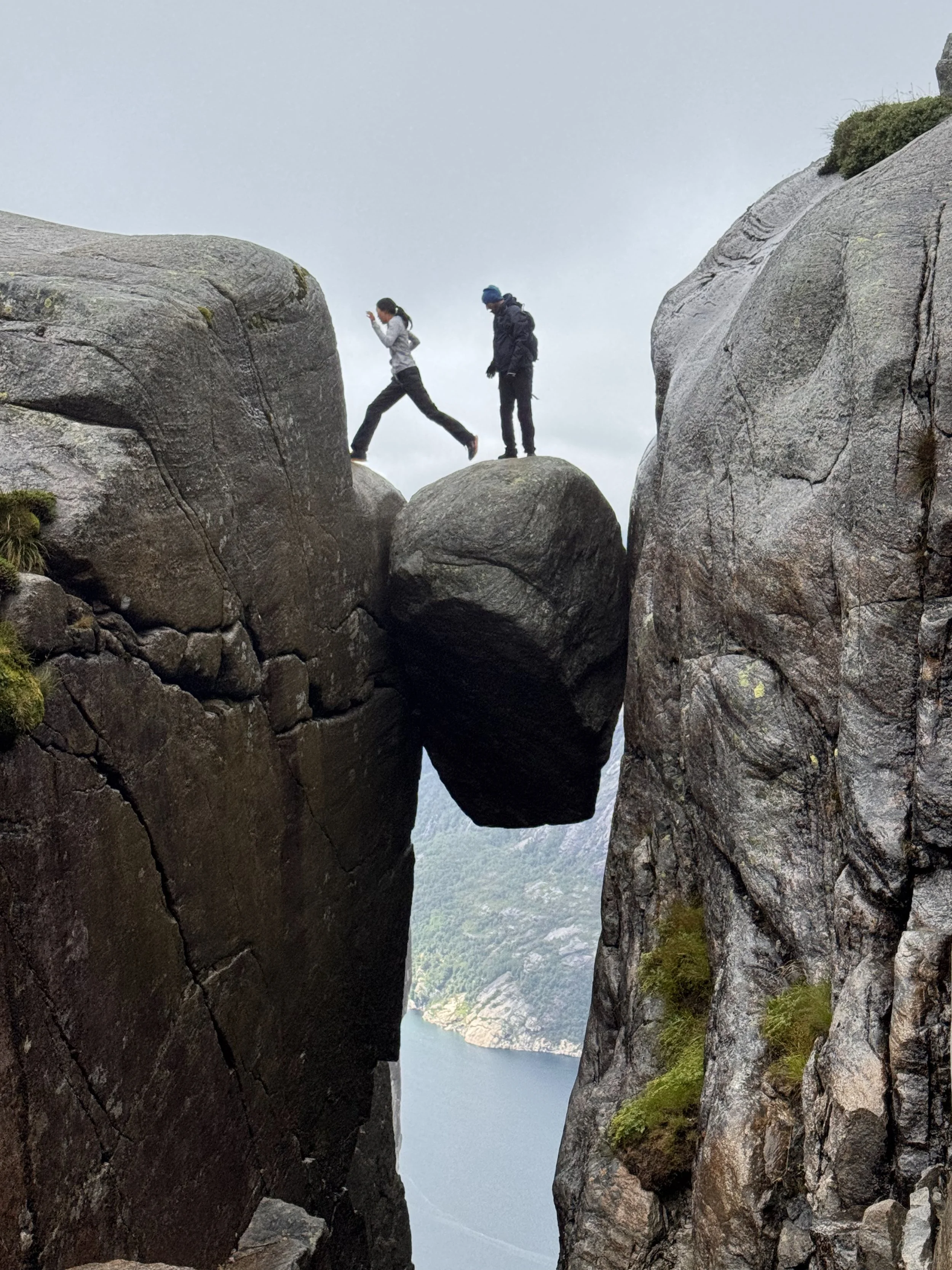
Bucket list. Checked!
Thankfully it wasn’t raining at the time, and even though the rock is a bit wet - it wasn’t too slippery
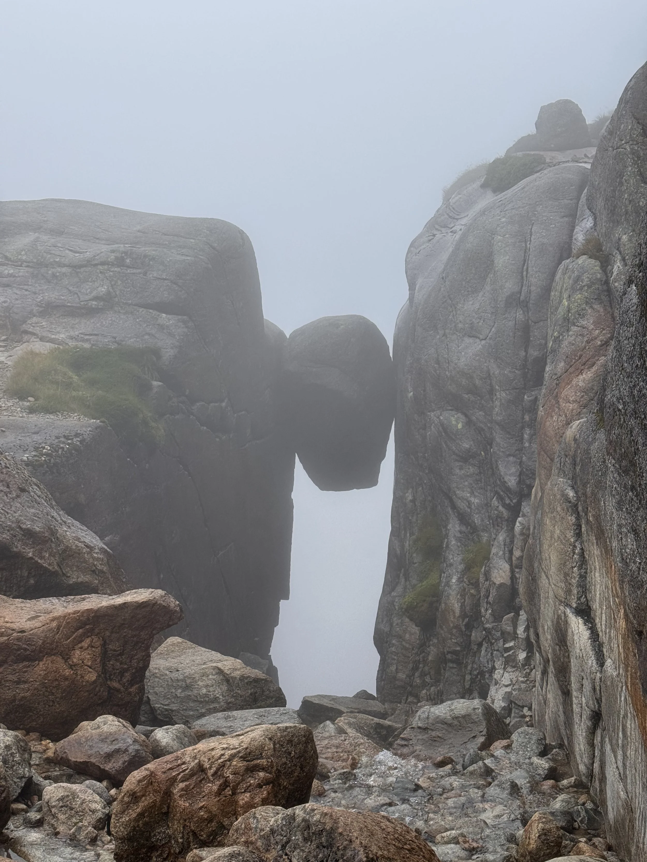
Final Thoughts
Kjerag is easily the spiciest hike on this list. While it’s technically manageable in the rain, I’d strongly recommend waiting for a clearer window if your schedule allows. Getting here requires a bit of a commitment—between the remote location and the intense mountain drive—but if you’re chasing a real adventure and have the flexibility to wait out the weather, it is more than worth every single step.
Exposed to Weather: There is practically no tree cover or shelter anywhere on the trail. Cold winds can sweep across the high plateau even on sunny summer days, so windproof layers, gloves, and warm gear are essential.
We made the drive down the from the Kjerag trailhead (Øygardsstøl) to the small fjord village of Lysebotn at the bottom of the valley is famous across Norway. It’s a short drive distance-wise (around 7.5 km / 4.6 miles), but it drops nearly 640 meters (2,100 feet) in a matter of minutes.
It’s exciting, dramatic, and can be exciting. I was the one behind the wheel - with 5 of us in an electric SUV, I took it very slow to prevent car sickness for everyone. Honestly, it was over before I knew it. We arrived at a beautiful cabin near the lake, received information for the ferry crossing and prepared ramen with more fish for dinner.
Day 4: Drive the Scenic Route RV13
We had originally planned to book our ferry on arrival, but a quick chat with the cabin staff brought a familiar traveler’s plot twist: every morning departure was completely booked. Thankfully, there was a workaround—a slightly more expensive crossing leaving at 12:30 PM. In hindsight, it was a blessing in disguise. Instead of a frantic dawn rush, we were gifted a slow, indulgent morning to linger over breakfast and wander through the valley as the morning light hit the fjord. Today’s drive is estimated to be 6 hours, a perfect rest day.
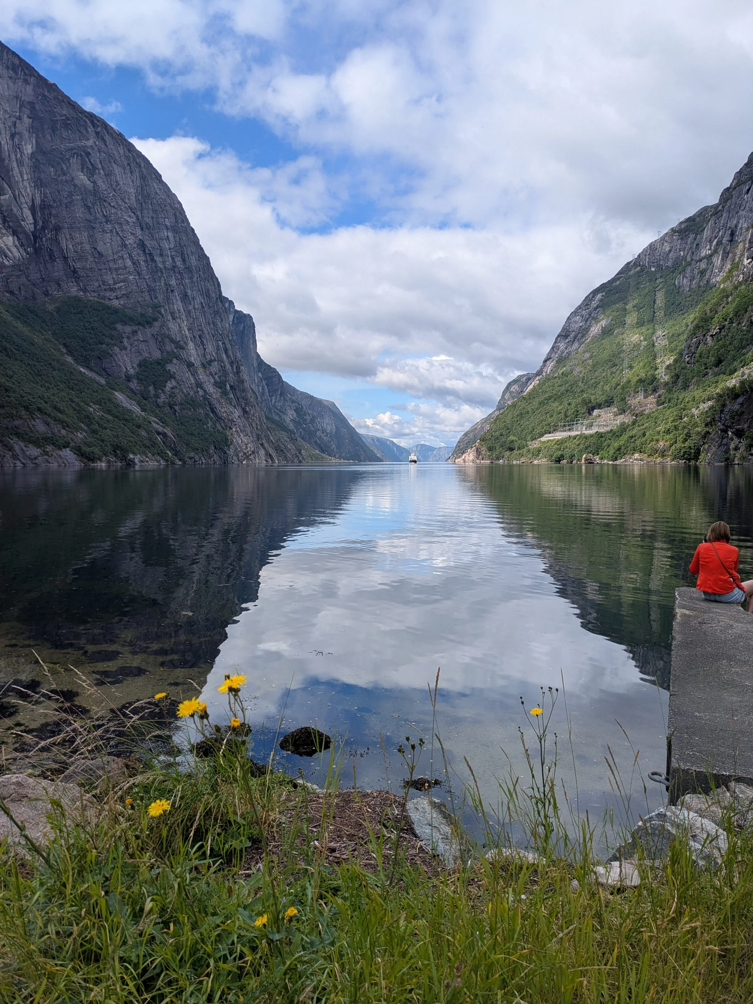
Lysefjorden is the kind of place that grounds you immediately. Framed by sheer, brooding rock faces rising almost vertically from the water, it felt strikingly familiar—a Scandinavian answer to the grandeur of Yosemite Valley. We took our obligatory photos around the quiet hamlet before taking a short walk up to the base of the mountain. Opposite to what we were hoping, we couldn’t visibly see the the famous switchbacks carve their way up, but we were awarded with a view of the fjords and the peaceful valley.
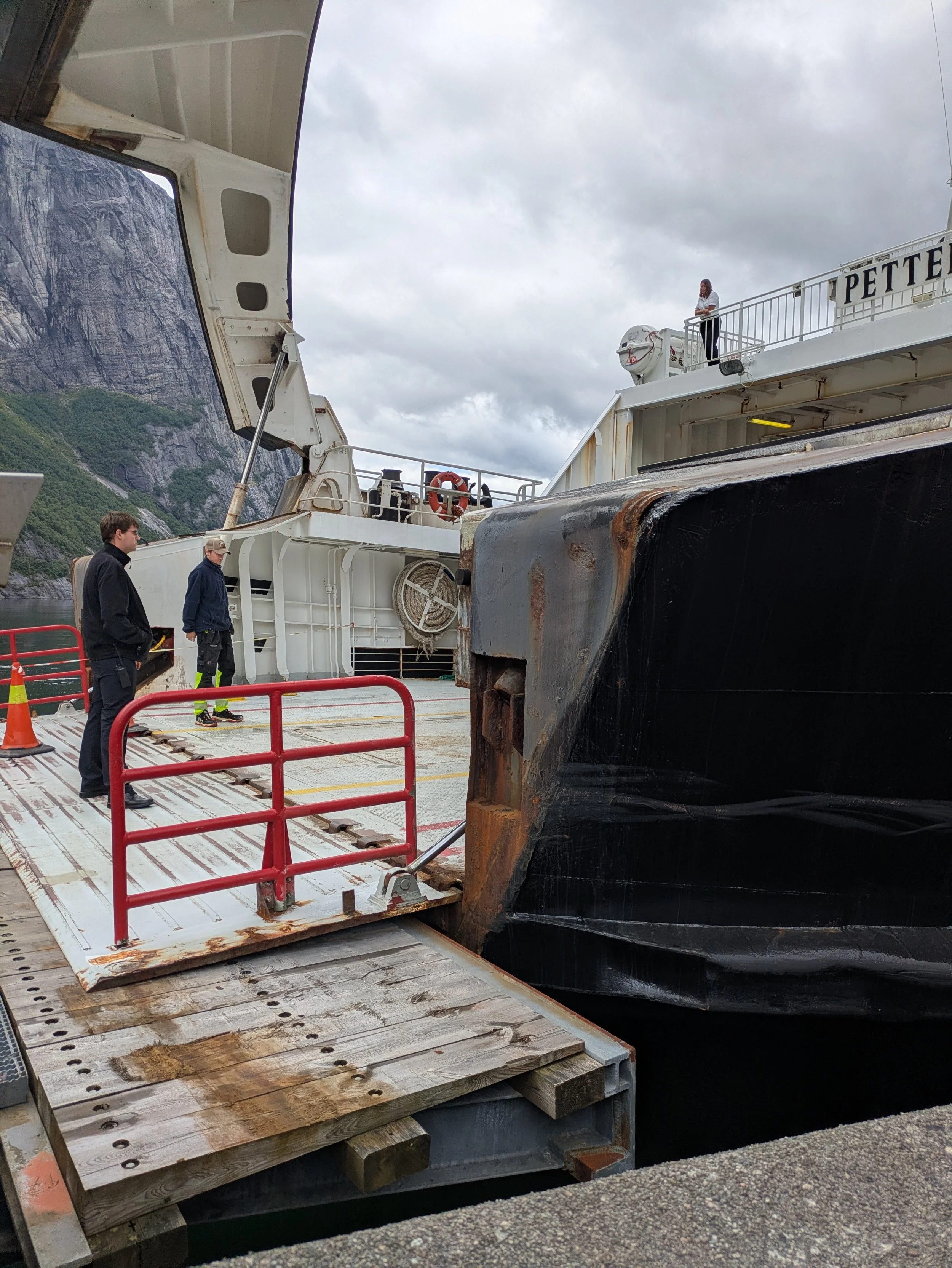
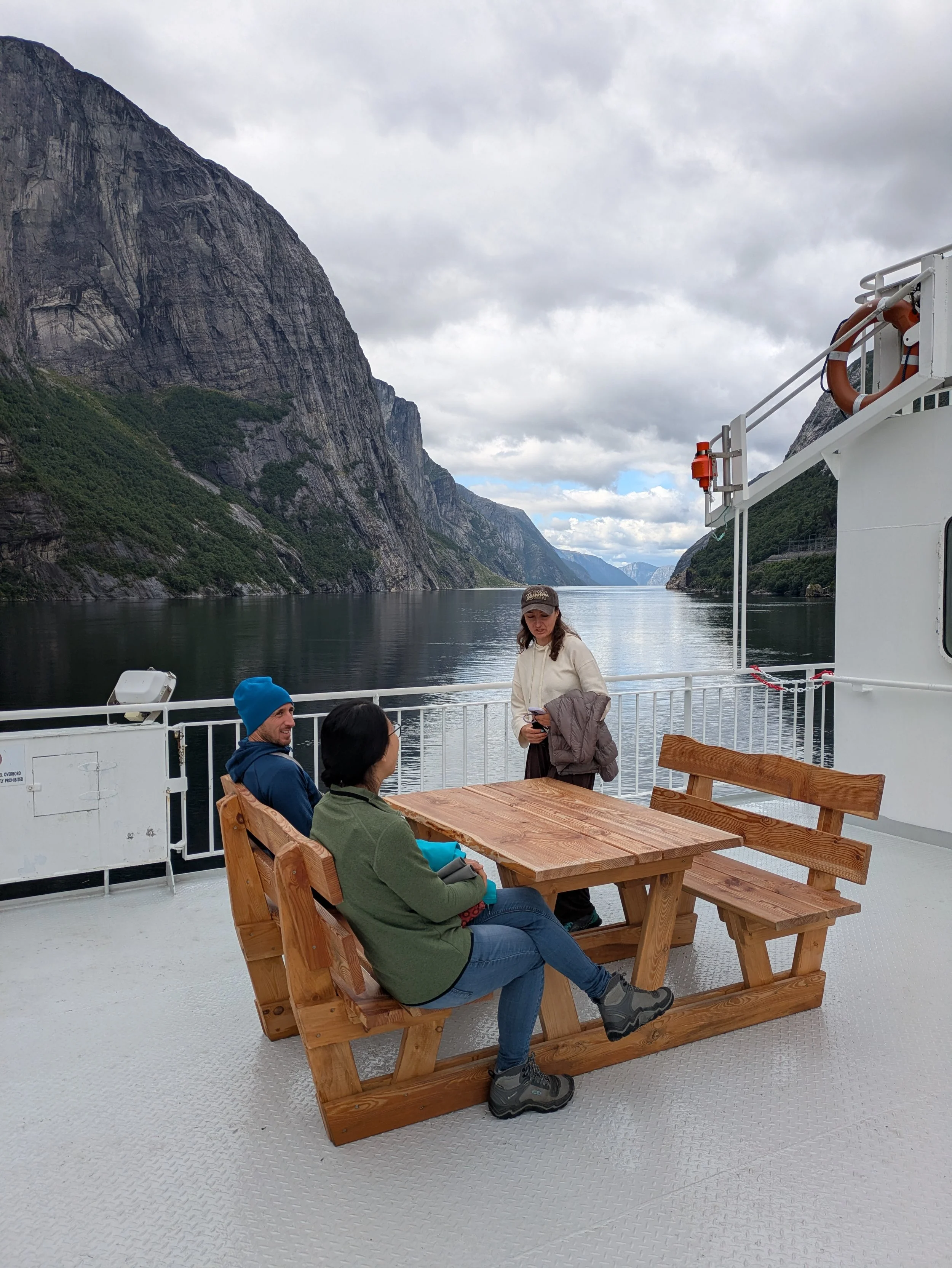
Navigating Norway’s ferry system with a vehicle is a masterclass in efficiency. We drove aboard, deck crew effortlessly guiding us bumper-to-bumper, and within minutes we’re free to leave the car behind. Watching the sheer walls of the fjord glide past from the observation deck—hot cup of coffee in hand, wind on our faces—is an experience in itself. Before we knew it, an announcement signals it's time to head back to the vehicle, and we drove straight off onto the next winding road.
Our ferry pulled up to the tiny slip at Songesand Kai.
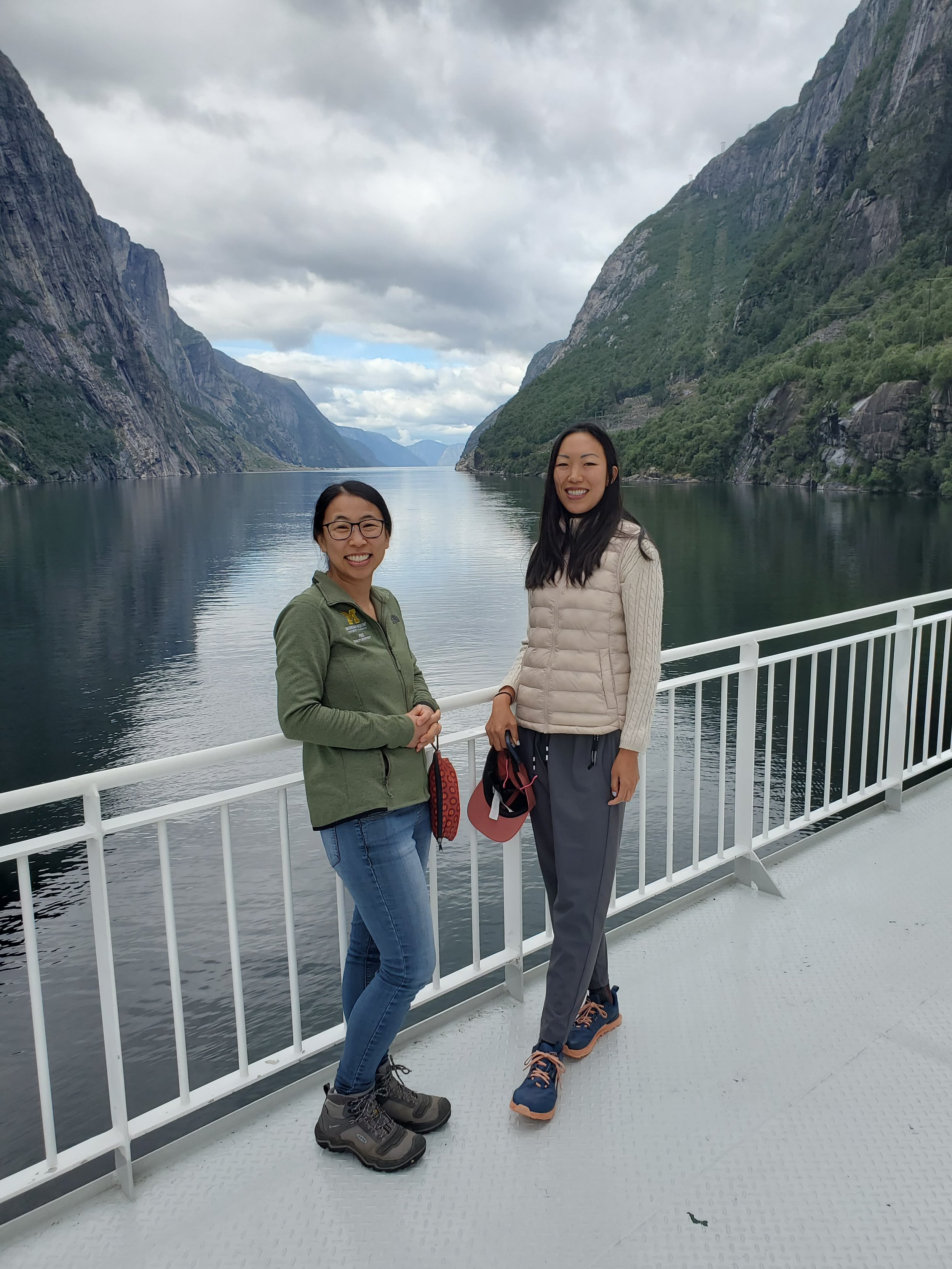
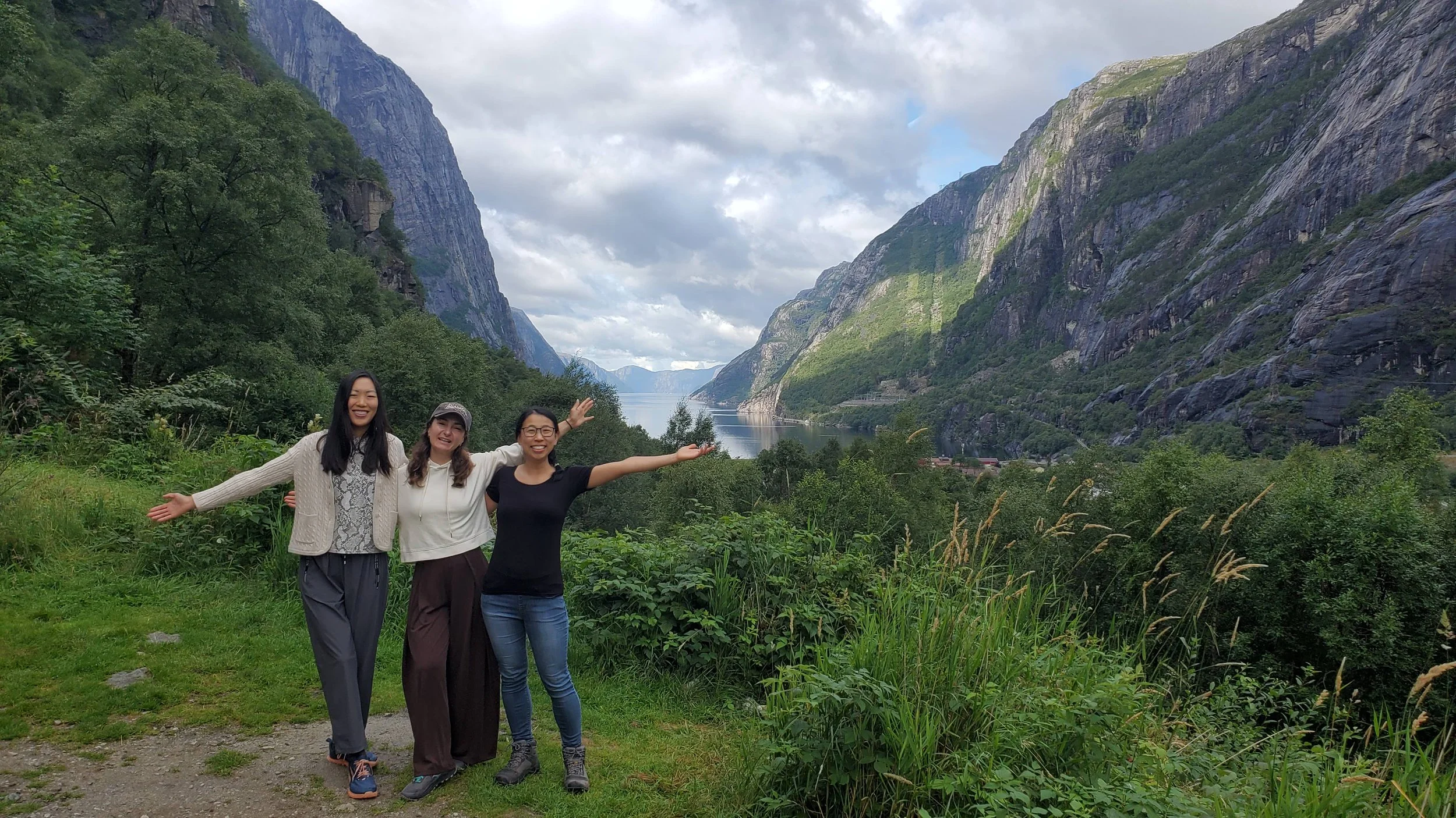
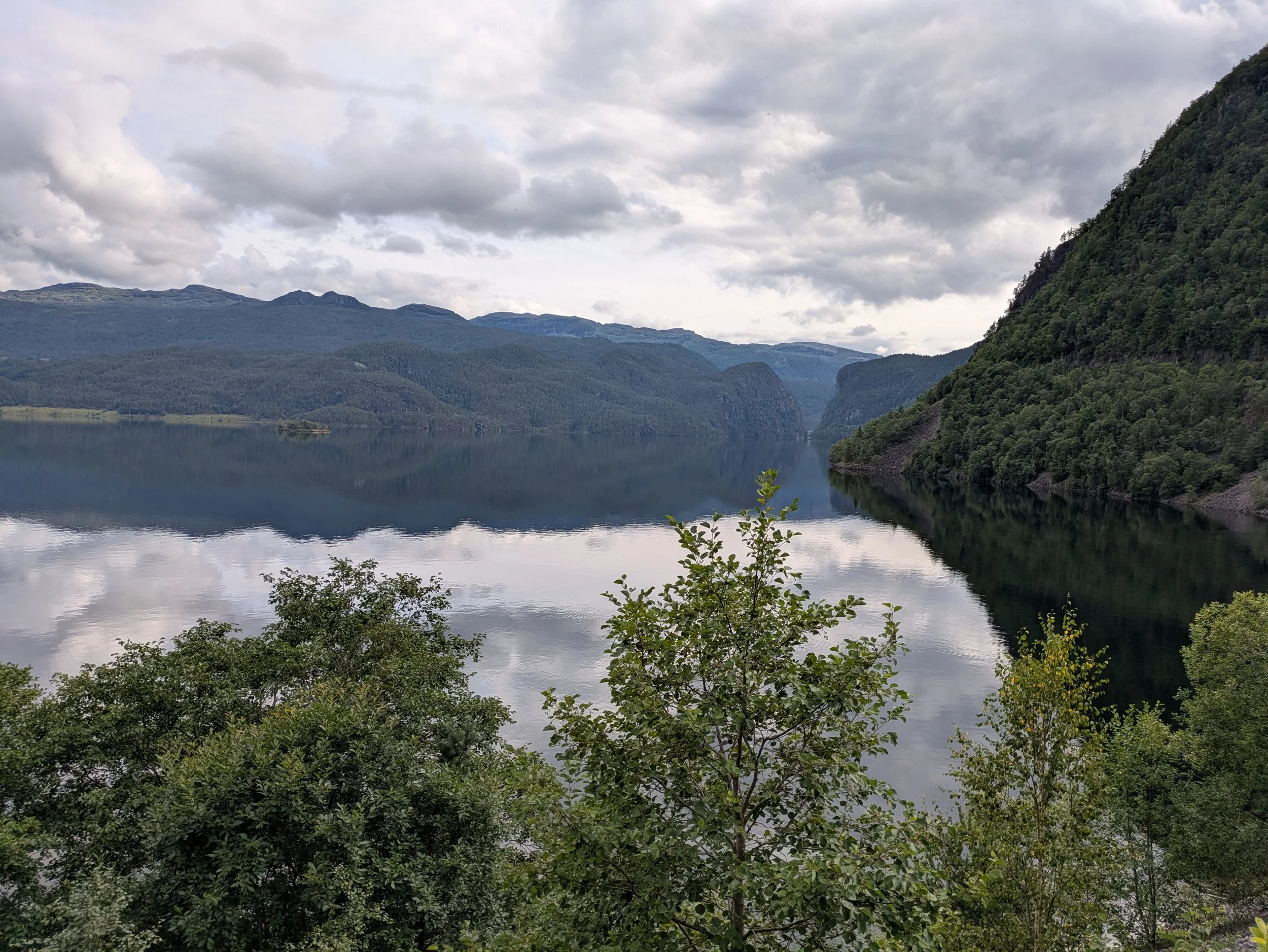
So much of driving through Norway feels like a continuous scenic route, with endless stretches of glassy water framed by lush, emerald hills.
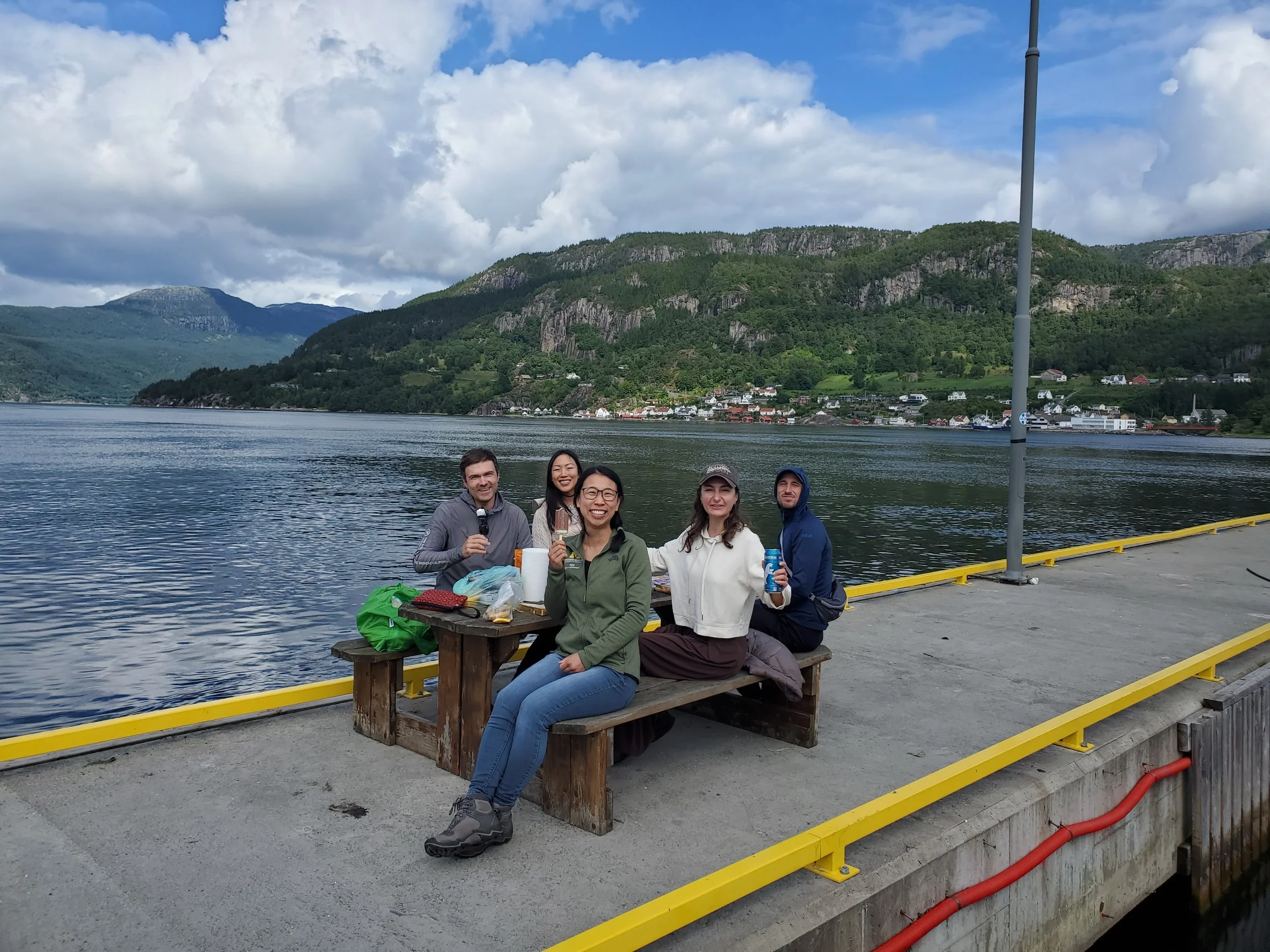
En route to our destination, we stopped near Hjelmelandsvågen for another ferry crossing. Unlike our earlier reservation, this one felt as seamless as an everyday highway bridge—ferries here run constantly, and no advance booking is required. The fare acts like an automated toll, seamlessly billed directly to the rental car. We took advantage of the brief pause to unpack another lovely lakeside picnic before pushing through the final stretch of our drive.
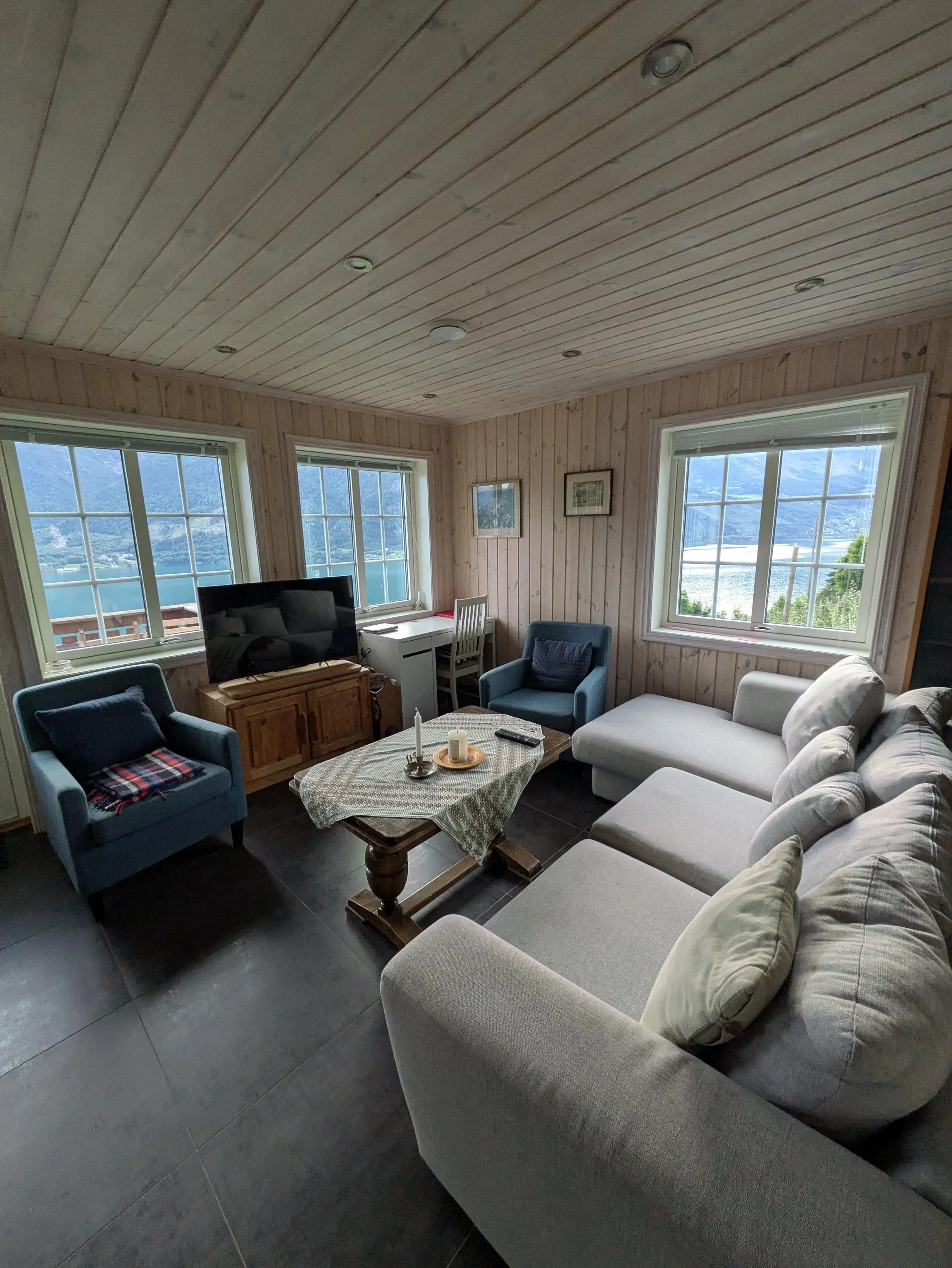
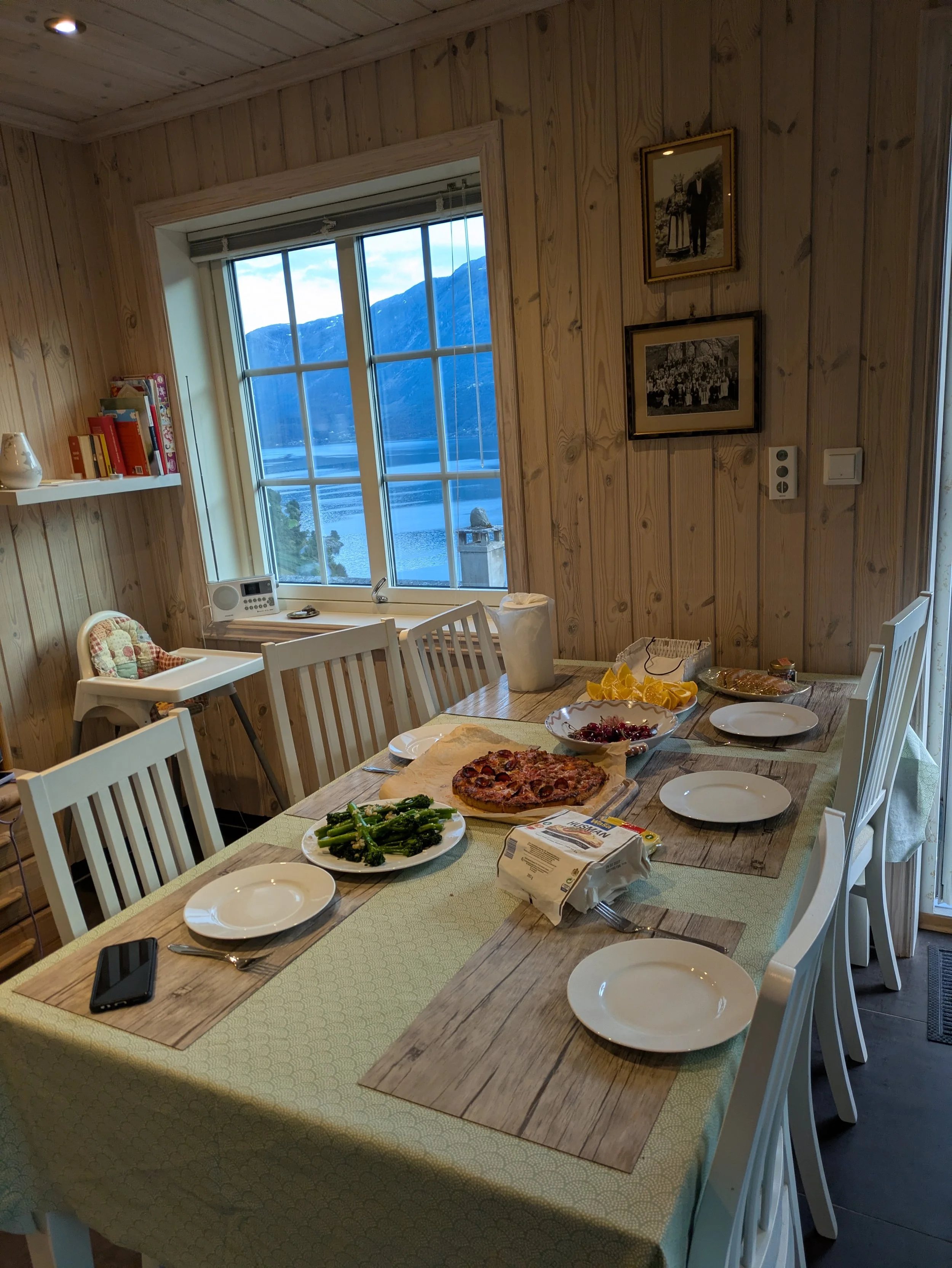
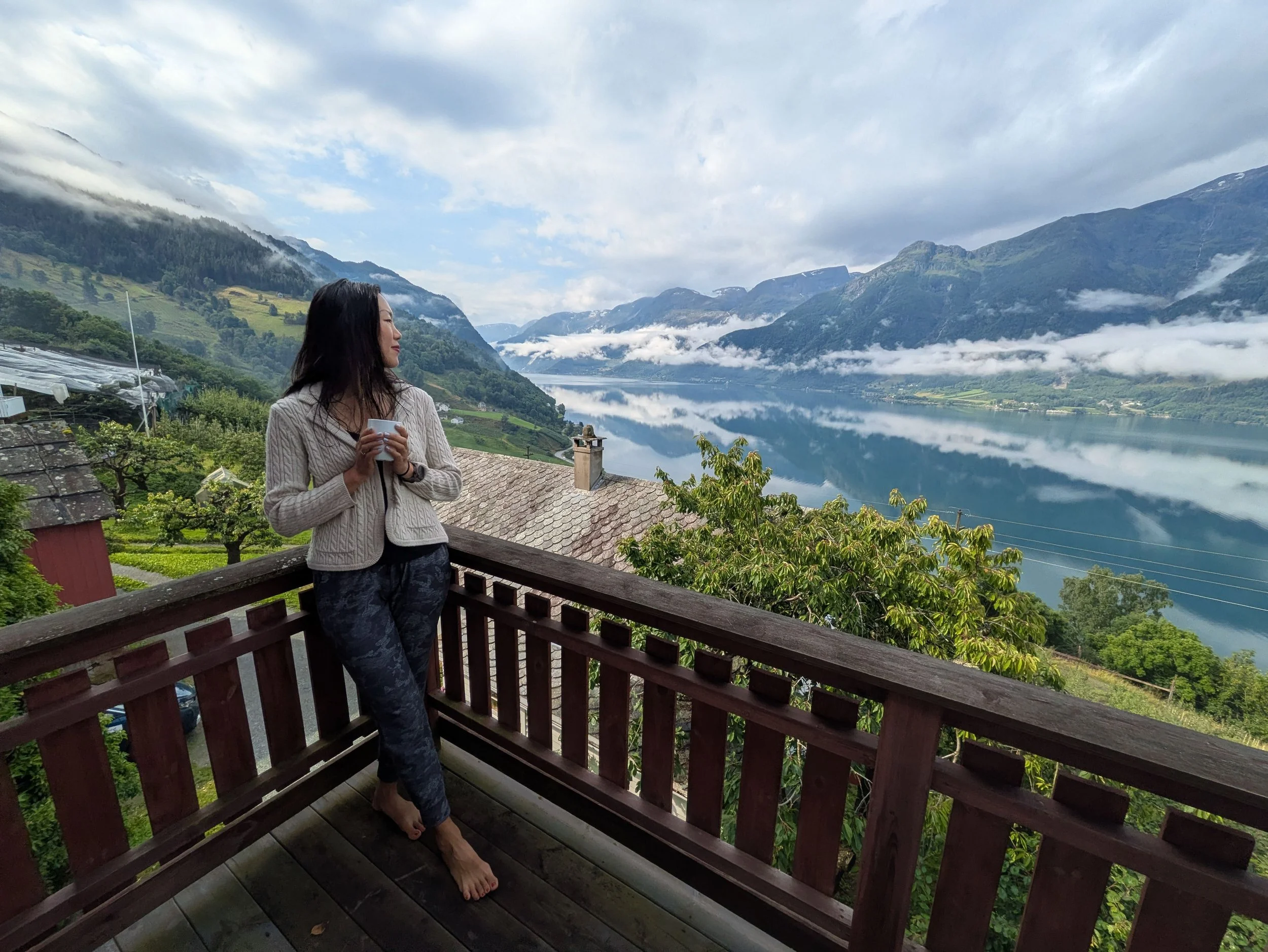
When we finally arrived at our Airbnb, we were completely floored. Perched on a working fruit farm, the property opens up to sweeping views over the lake from both the common living spaces and the private balcony. I can honestly say I have never stayed anywhere quite so breathtaking.
Day 5 - Hiking Trolltunga: The Ultimate Guide to Norway’s Most Iconic Trail
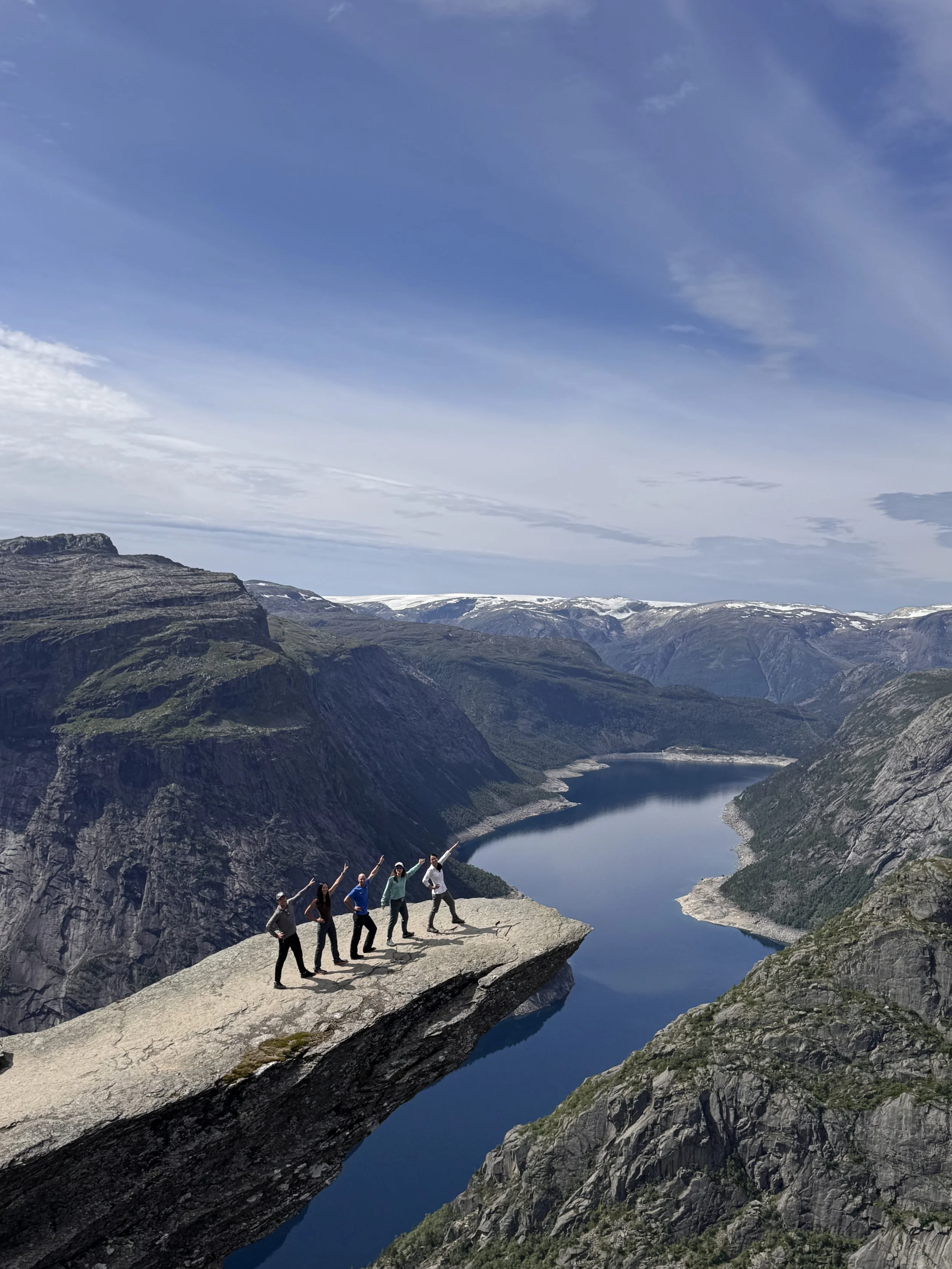
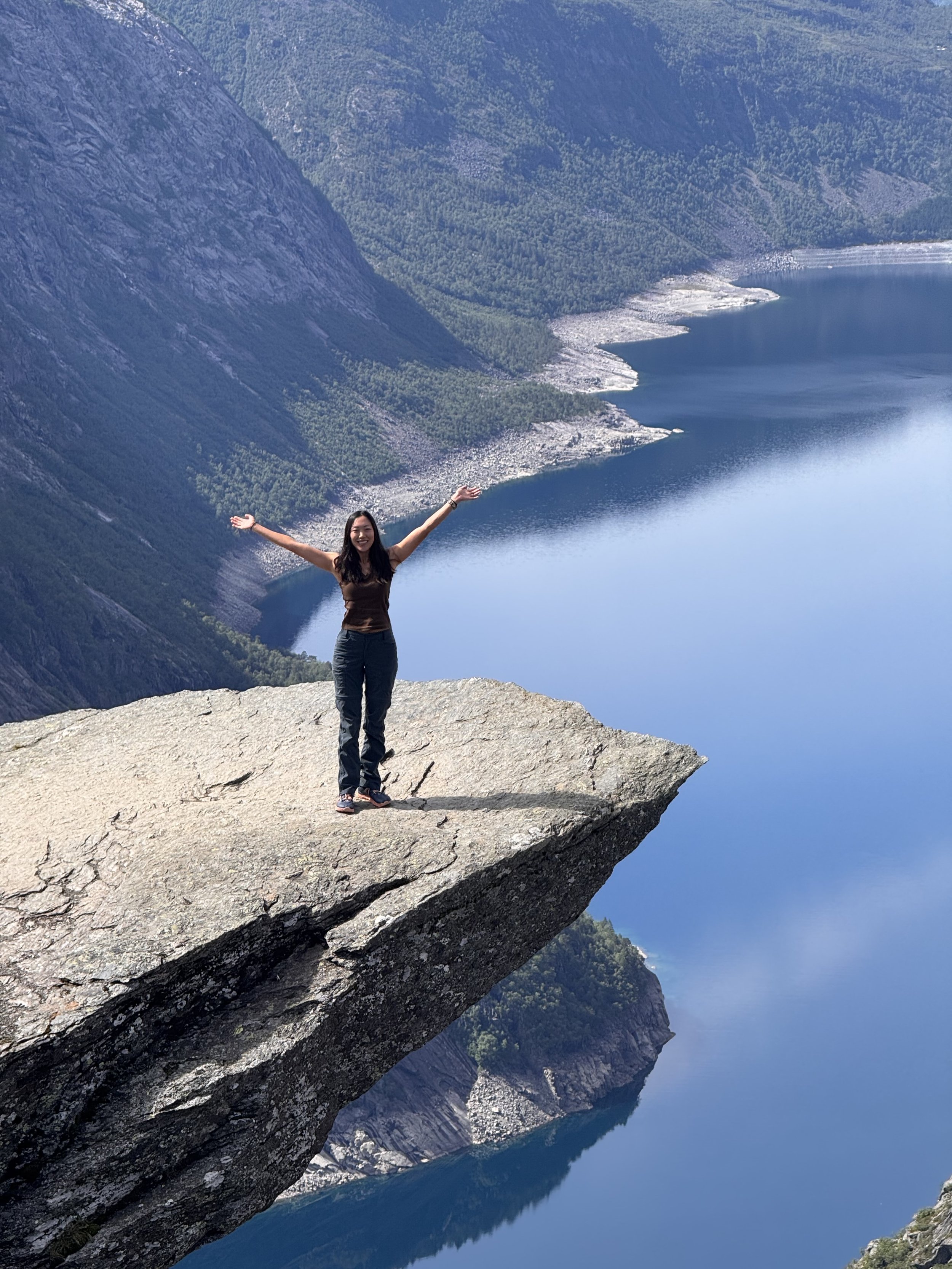
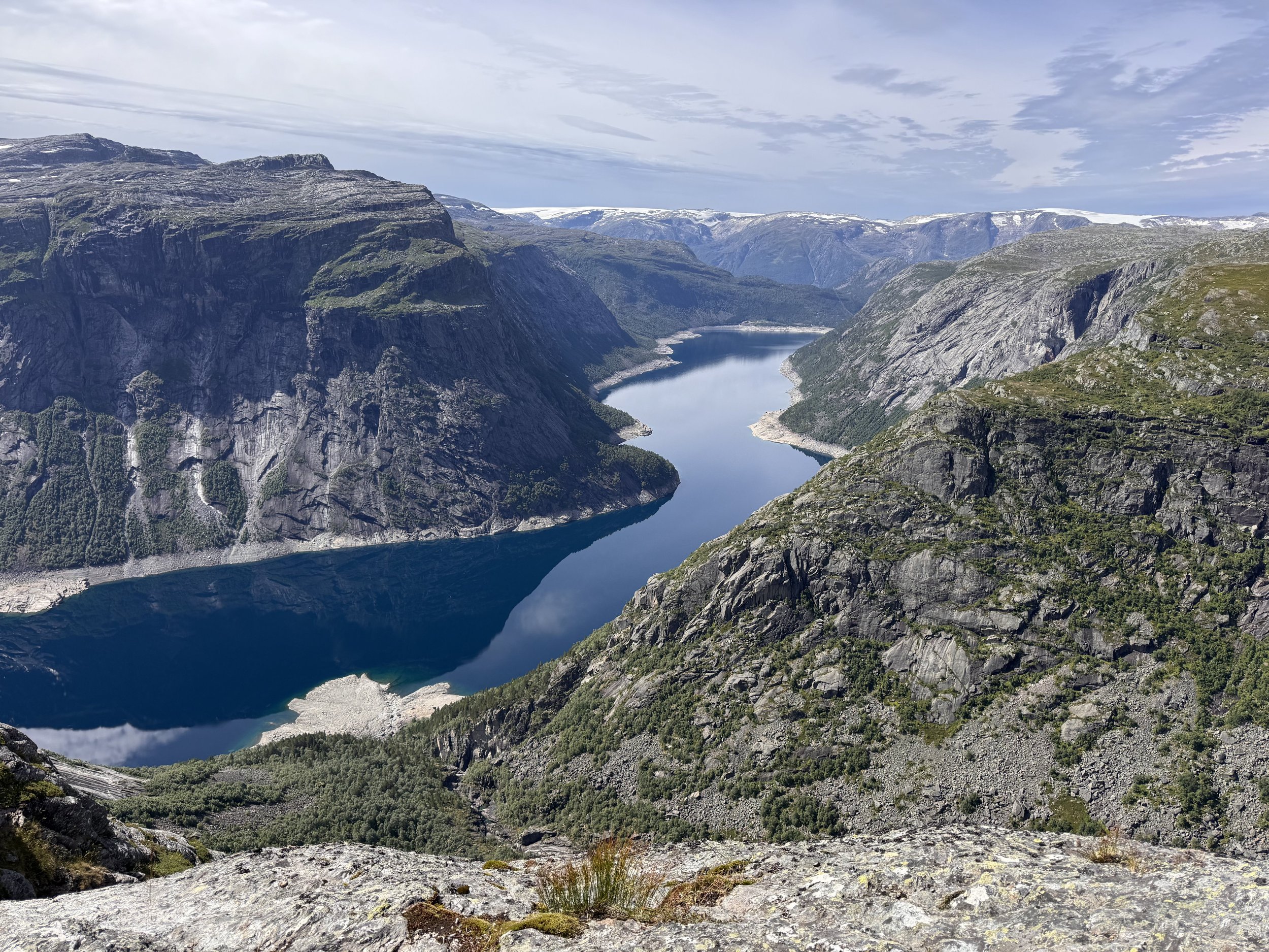
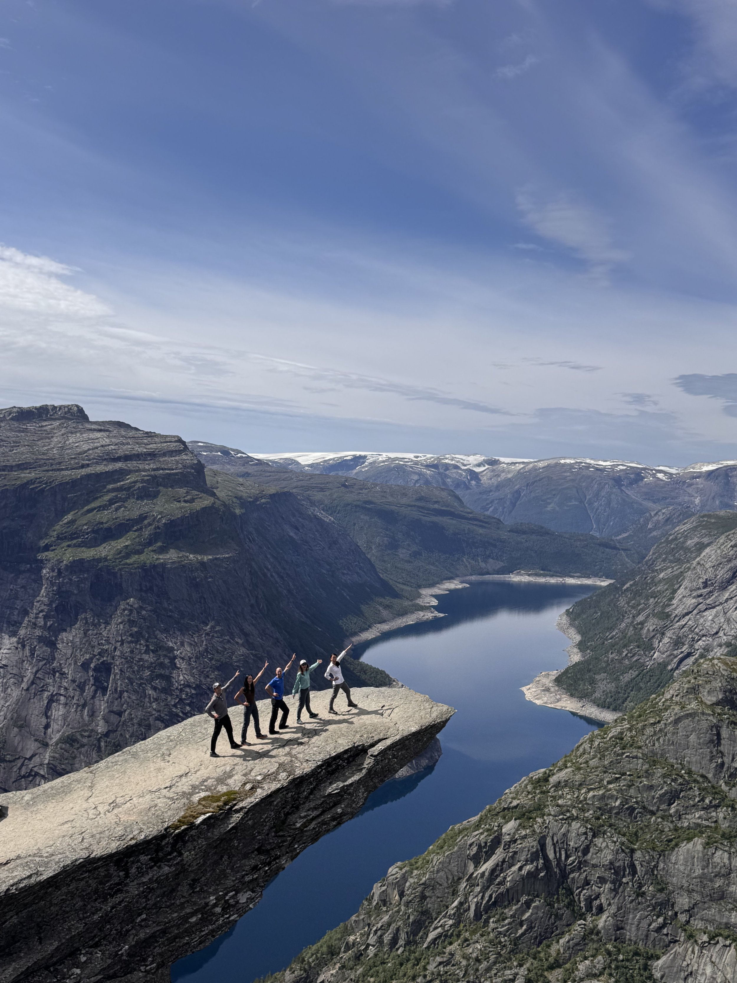
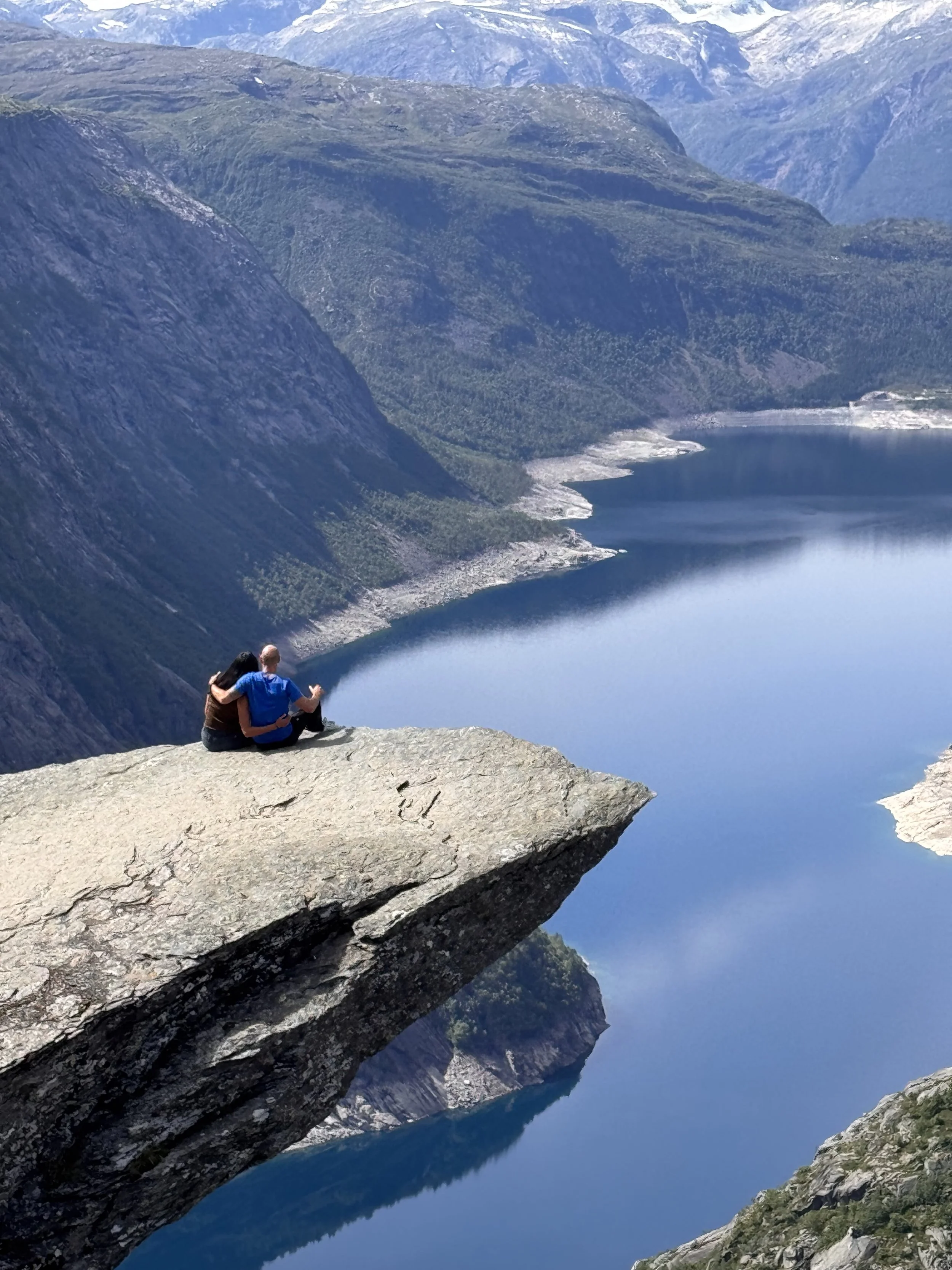
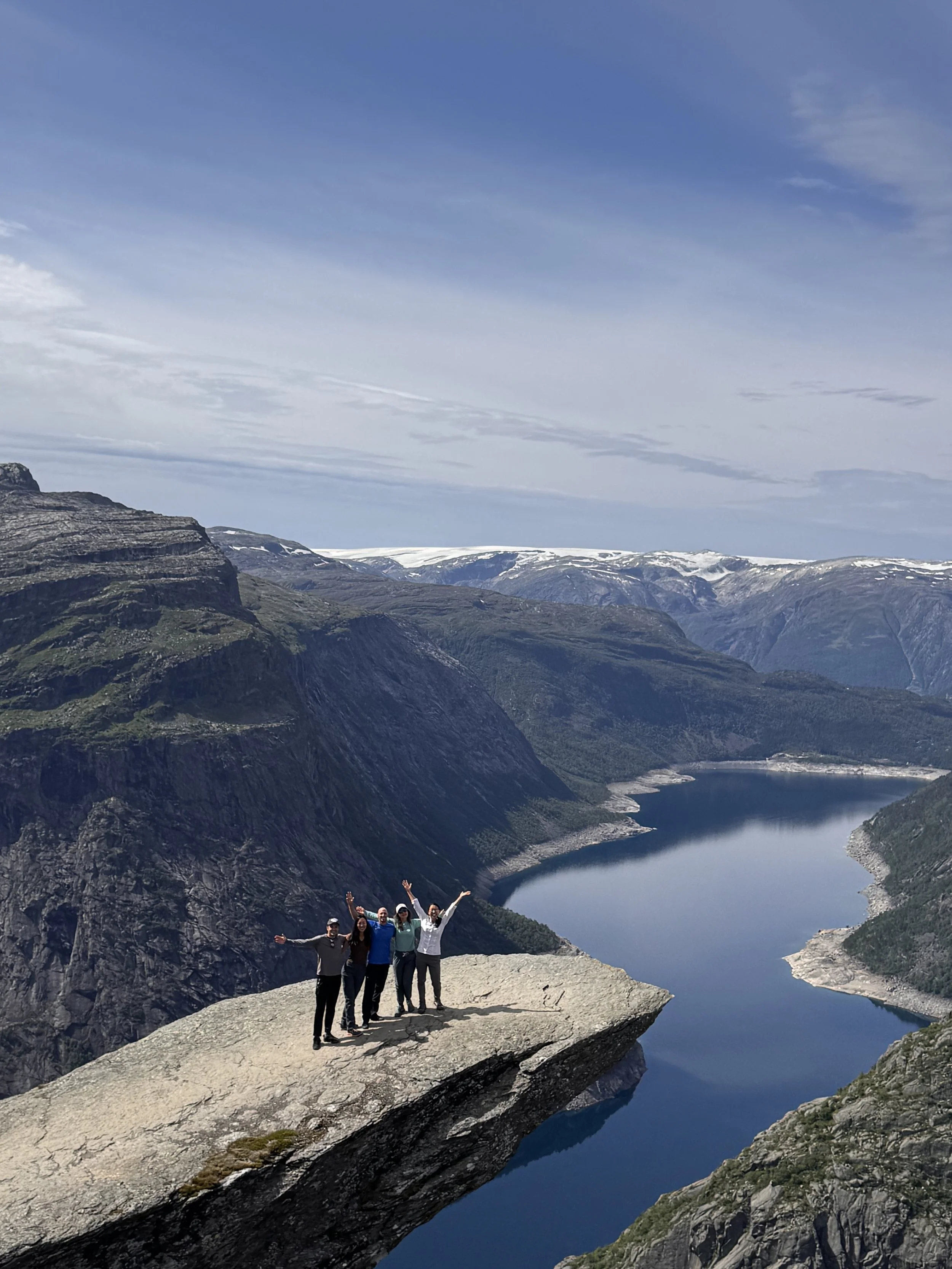
Trolltunga (the "Troll's Tongue") is easily one of the most famous rock formations in the world. Jutting out horizontally 700 meters above Lake Ringedalsvatnet, this natural rock ledge delivers dramatic panoramic views that make every single step of the trek worth it.
Trolltunga has been at the top of my bucket list forever! It’s arguably Norway’s most iconic hike—though honestly, every trail in Norway feels like a postcard.
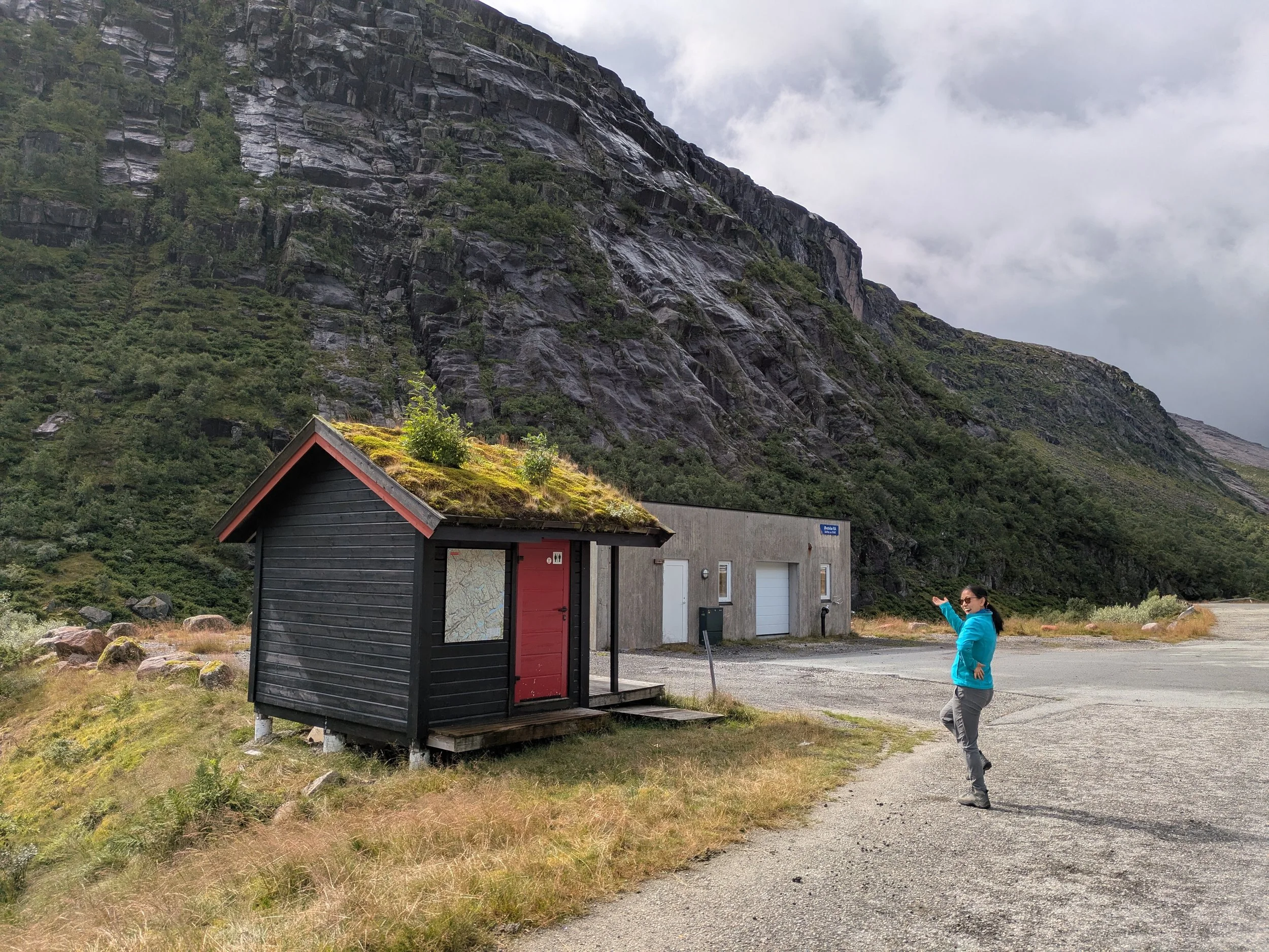
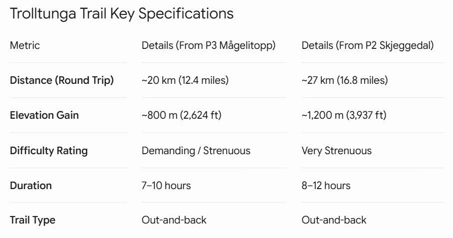
We knew the parking lot tends to fill up early, but since we weren't keen on a crack-of-dawn wakeup, we rolled out of our Airbnb at a civil 7:30 AM. Fortunately, it was just a quick 30-minute drive to the P2 trailhead at Skjeggedal.
Quick Trailhead Pro-Tips:
Parking & Logistics: P2 is a large paid lot (~$50 USD) equipped with proper restrooms and water fill stations.
The P3 Rule: P2 is your last chance for official bathrooms and running water before hitting the trail, as P3 lacks both.
Shuttle Line Setup: Even if you pre-purchase your shuttle ticket online, everyone lines up in a single queue to board.
After watching a few shuttles pass, it was finally our turn. The bus navigated the tight switchbacks up to P3, shaving off the toughest road incline. P3 parking is very limited (don’t even try to park there!)
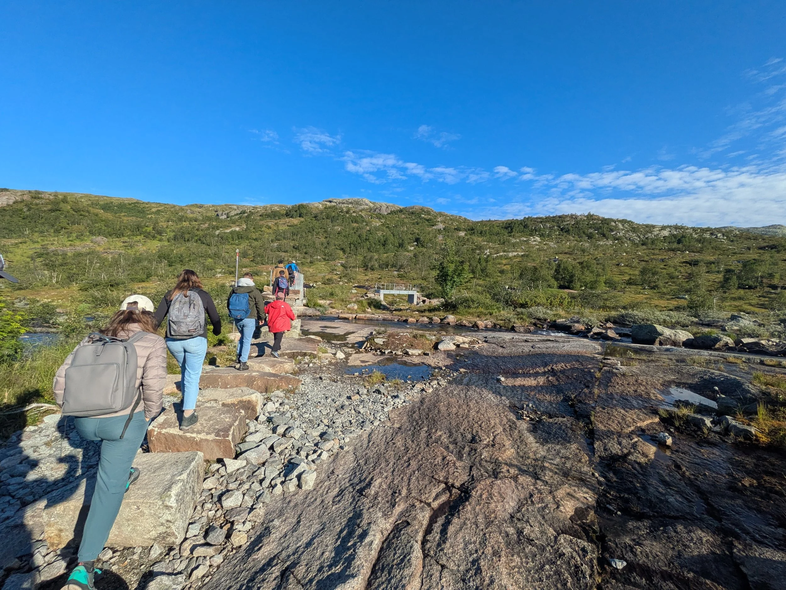
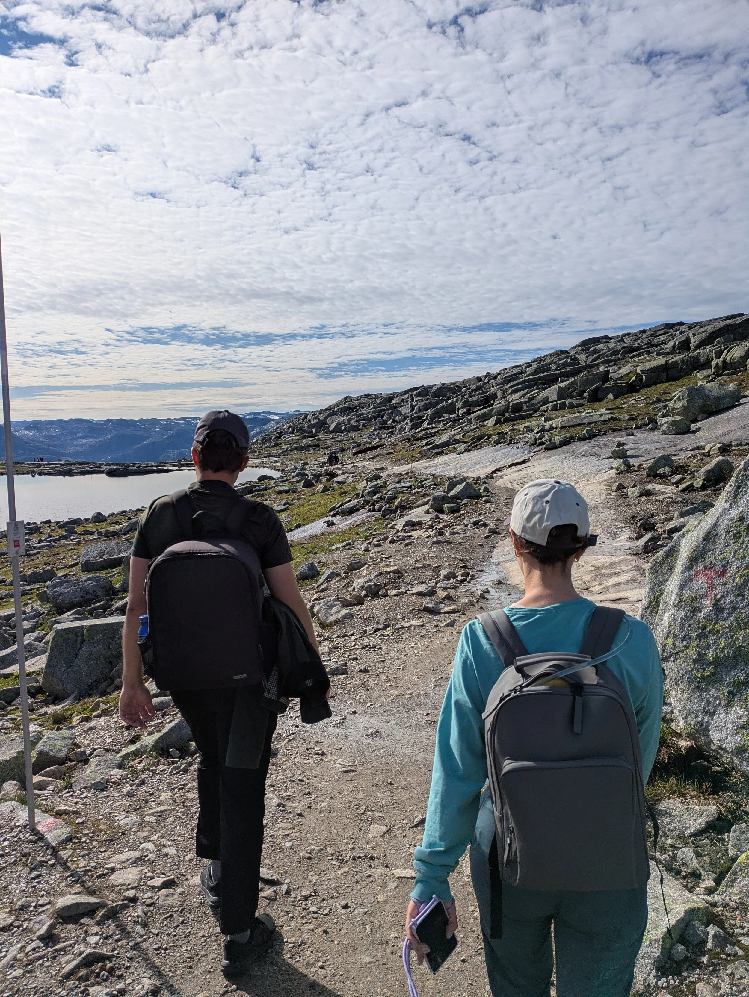
By 8:30 AM, we were officially on foot! The first 30 minutes hit us with a steep grind, but after that, the trail leveled out into surprisingly easy cruising across rolling granite plateau landscapes. Along the way, there was plenty of wide-open terrain, rock coverage if nature called, and stunning arctic panoramic views.
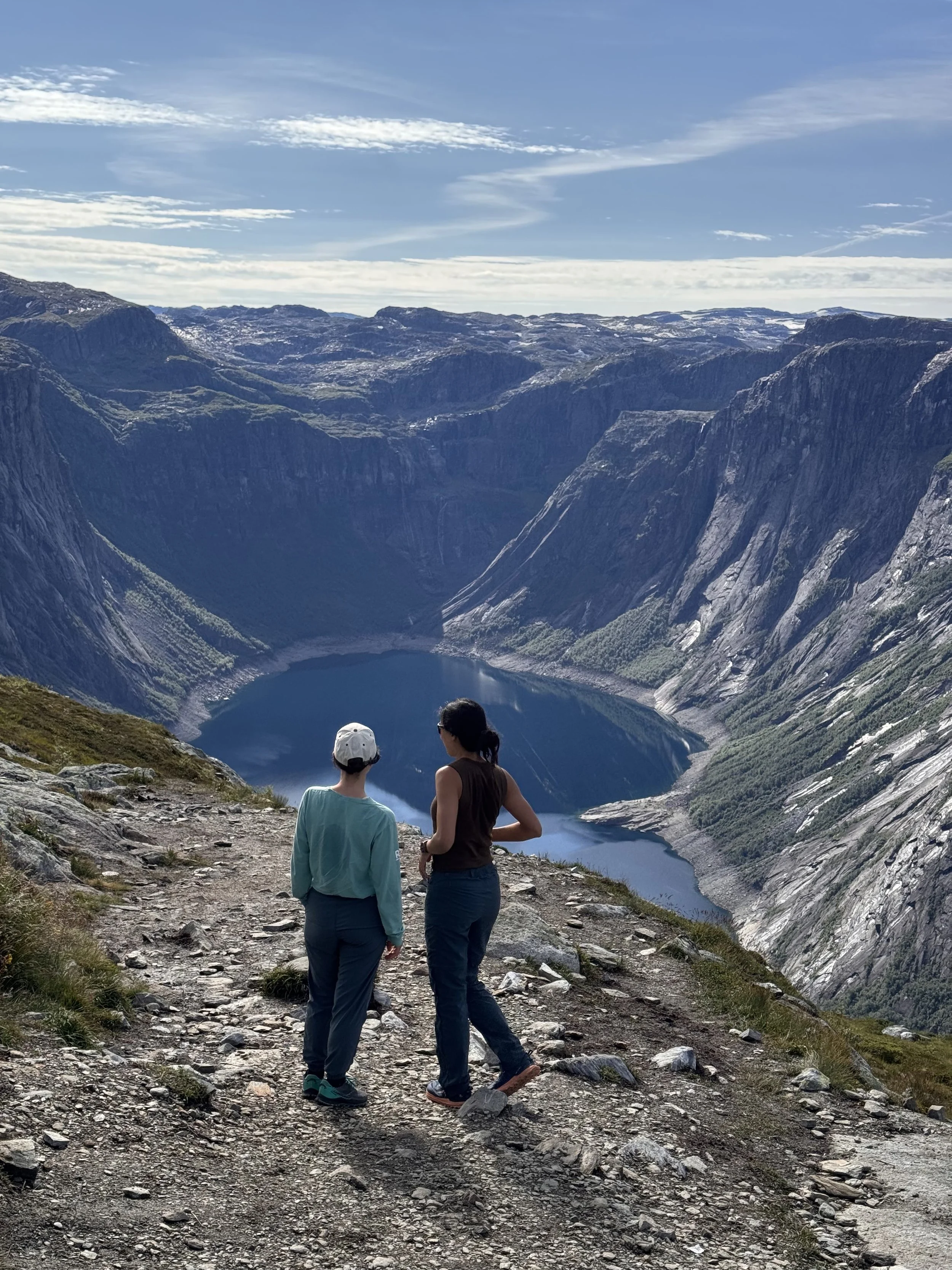
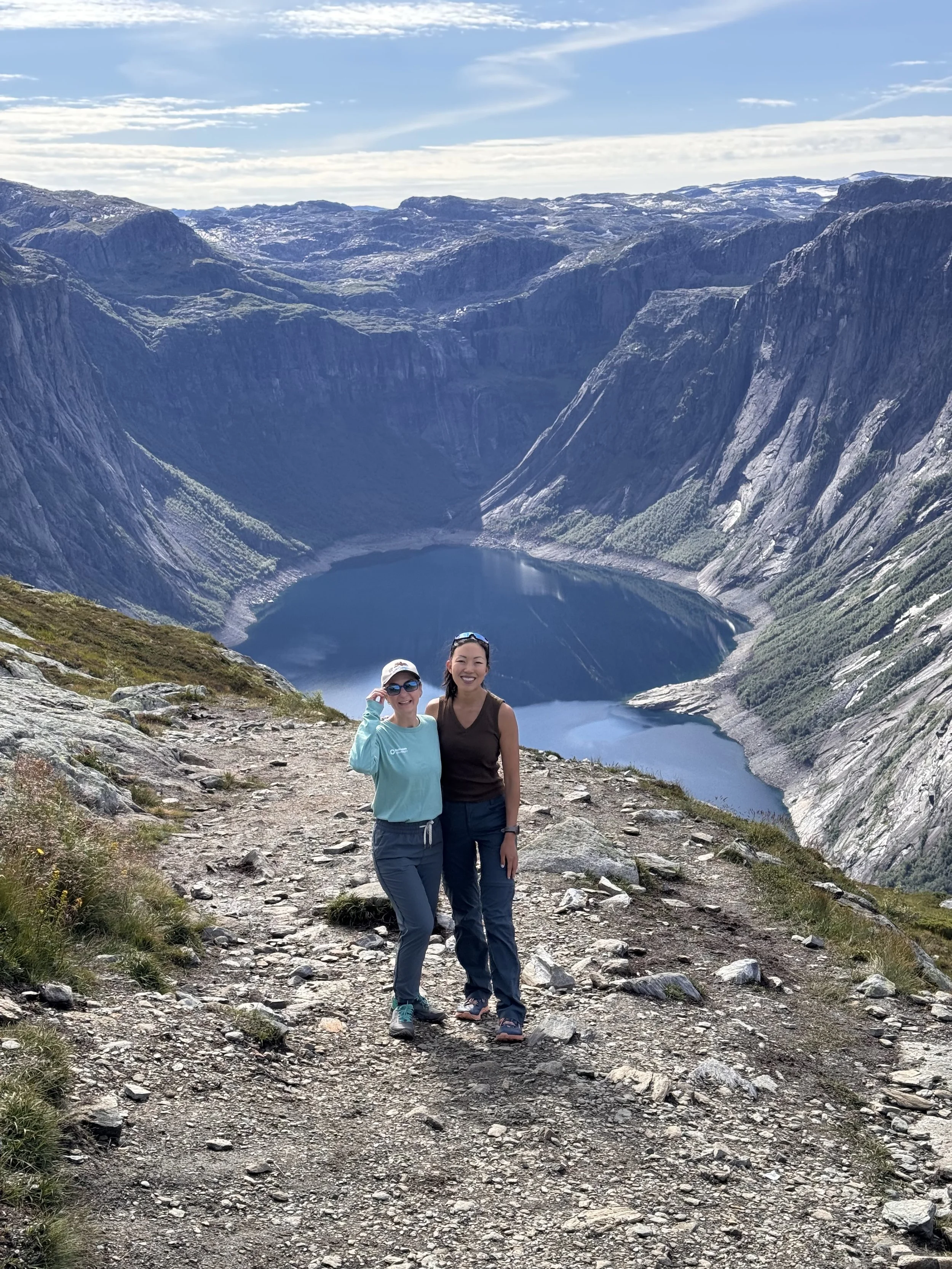
Before we knew it—between continuous chatting and soaking in the vistas—we reached the ledge.
The real thing is every bit as dramatic, inspiring, and dizzying as the photos suggest. Naturally, there was a queue waiting for the famous edge photo, but we patiently waited our turn for about an hour. It gave us plenty of time to rest up, grab snacks, and take incredible individual and group shots hovering over the fjord. A legendary day on the trail! With plenty of breaks, photos, and stops, our elapsed time was 8 hours.
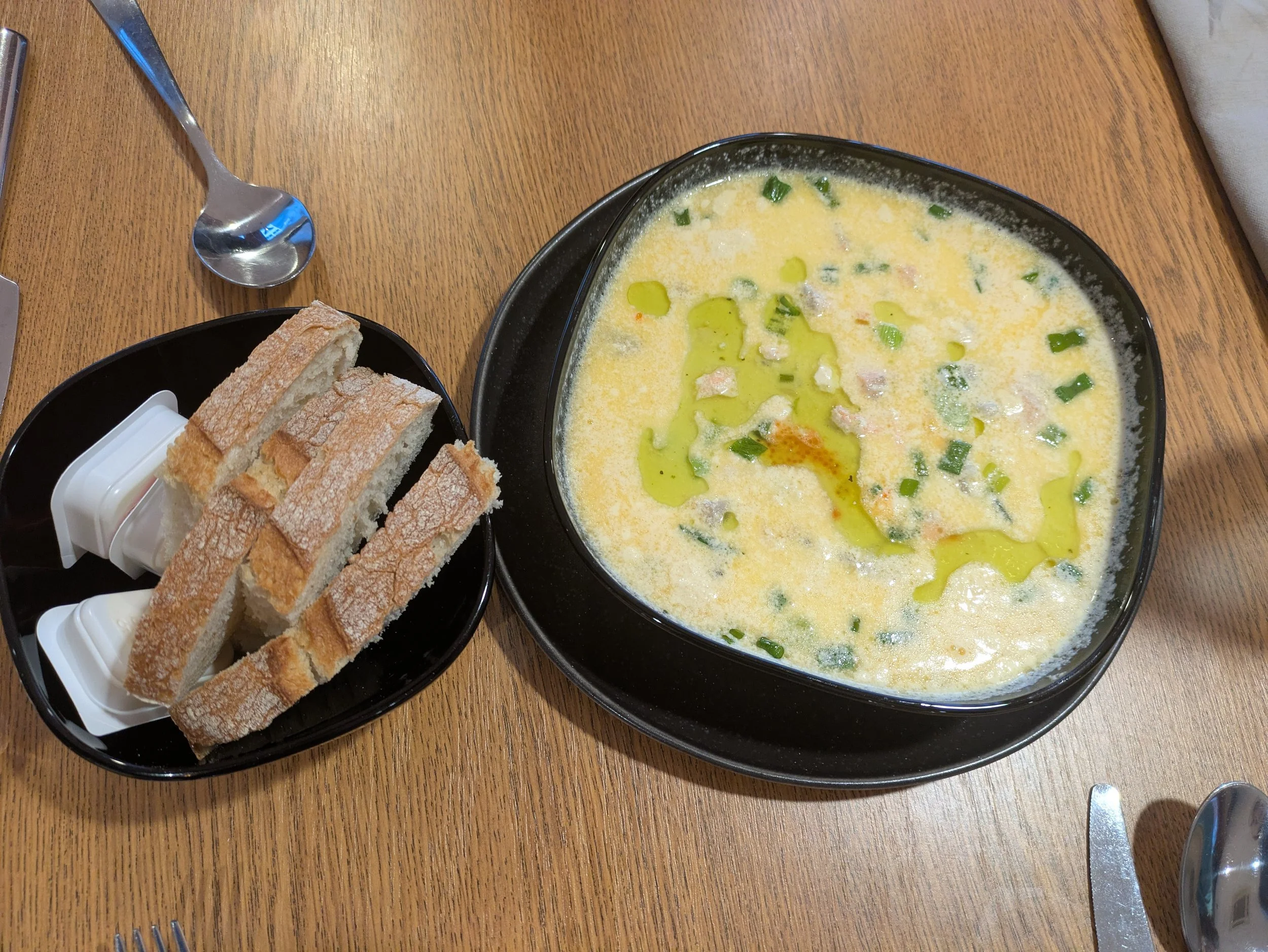
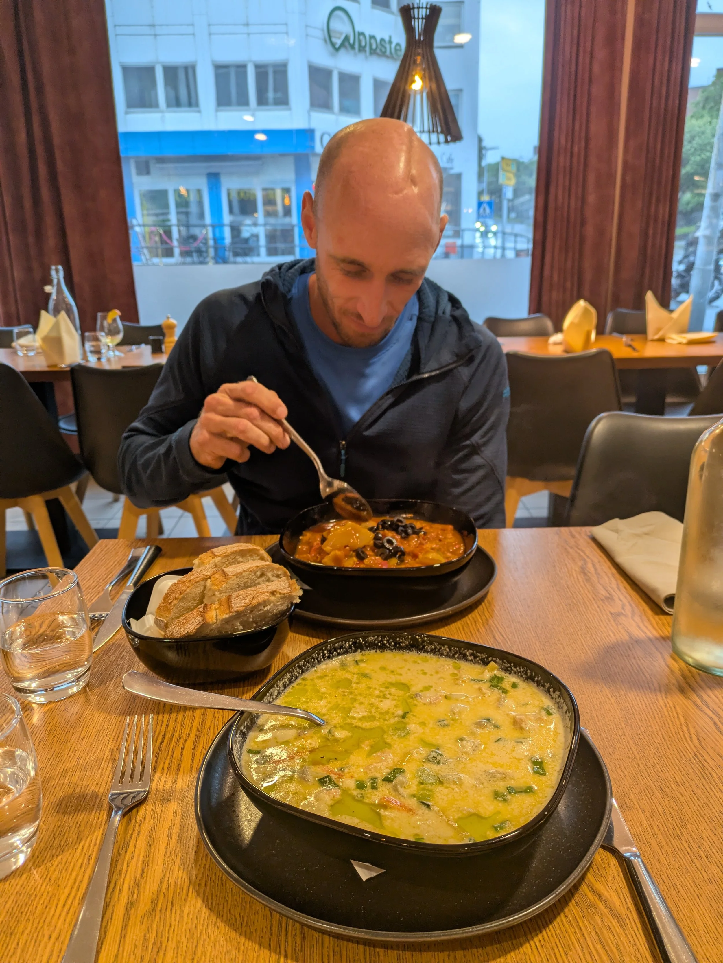
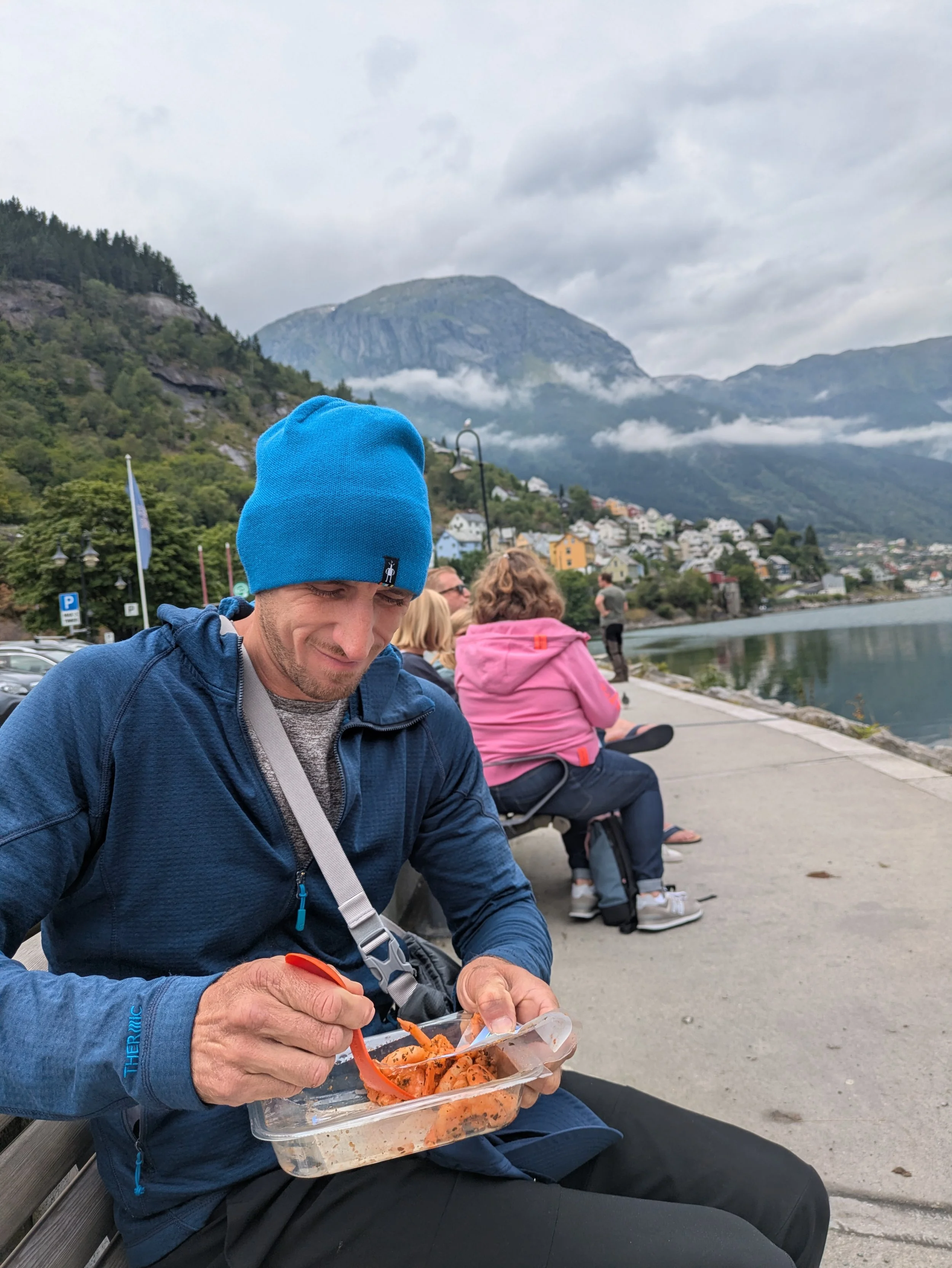
Back in Odda, we sat down for a proper taste of local Norwegian cuisine. We opted for two classic seafood dishes: fish soup and fish stew. The soup was rich, buttery, and packed with deep savory umami, while the stew offered a lighter contrast with its mild, tomato-based broth.
Day 6: Relaxation day in Odda
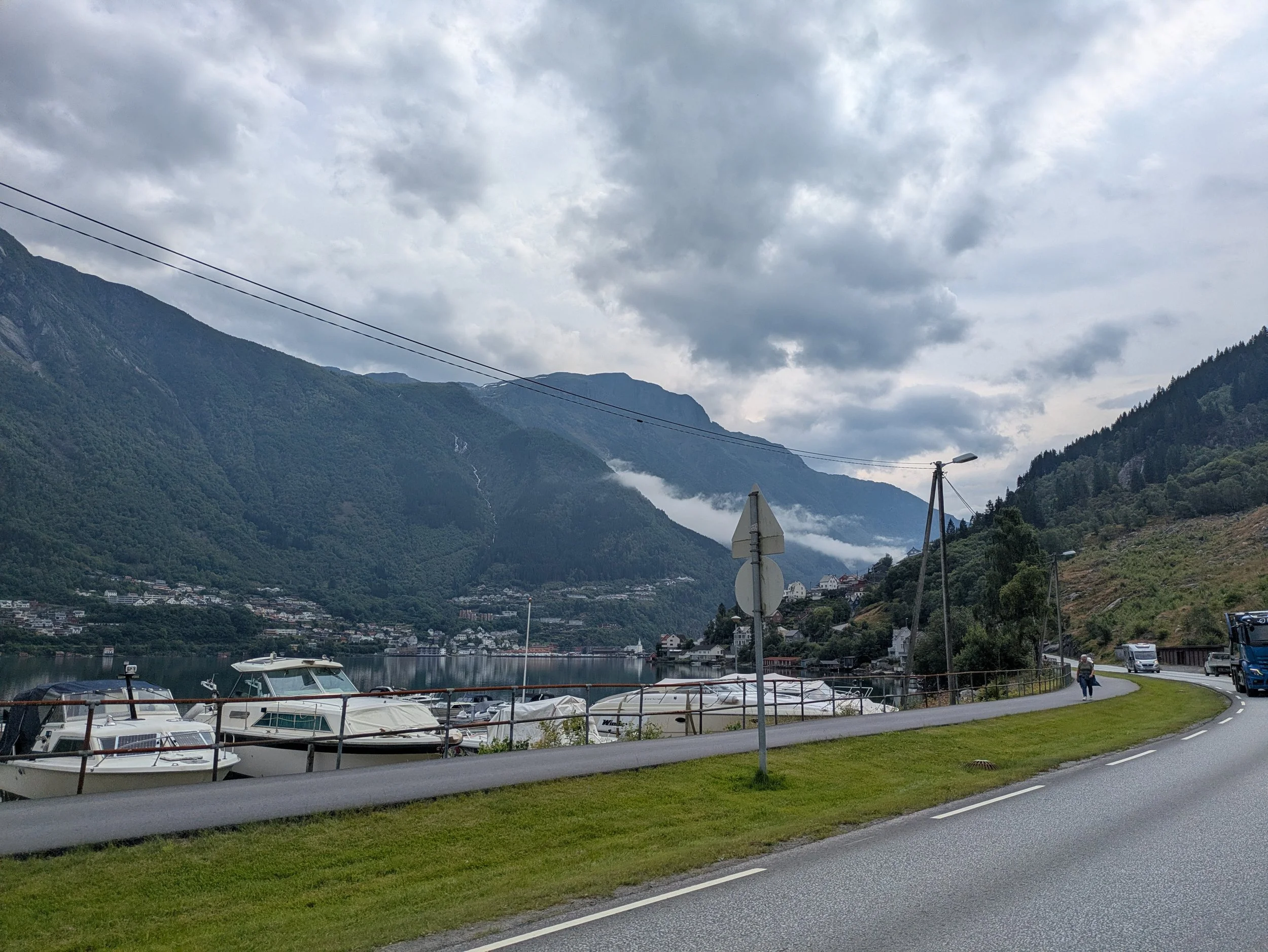
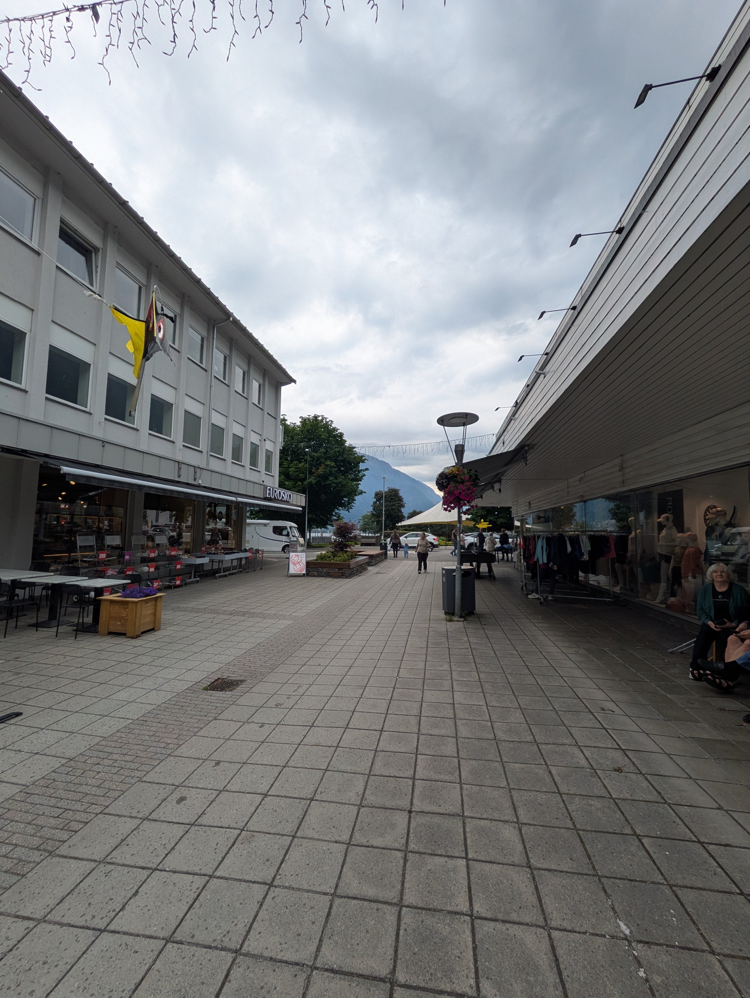
After yesterday’s heavy miles, today was all about slow living. We splintered off to recharge in our own ways: Linda back at the house curled up with books, Iryna and Alex went chasing local waterfalls, and Louis and I headed into Odda.
We spent the afternoon wandering the quiet town streets, grabbing a proper coffee, and setting up a lakeside picnic for lunch. It was the exact kind of breather we needed—a gentle pause to rest, step back from group dynamics, and just enjoy a quiet rhythm on our own terms.

Day 7: Glacier Hike (Buerbreen)
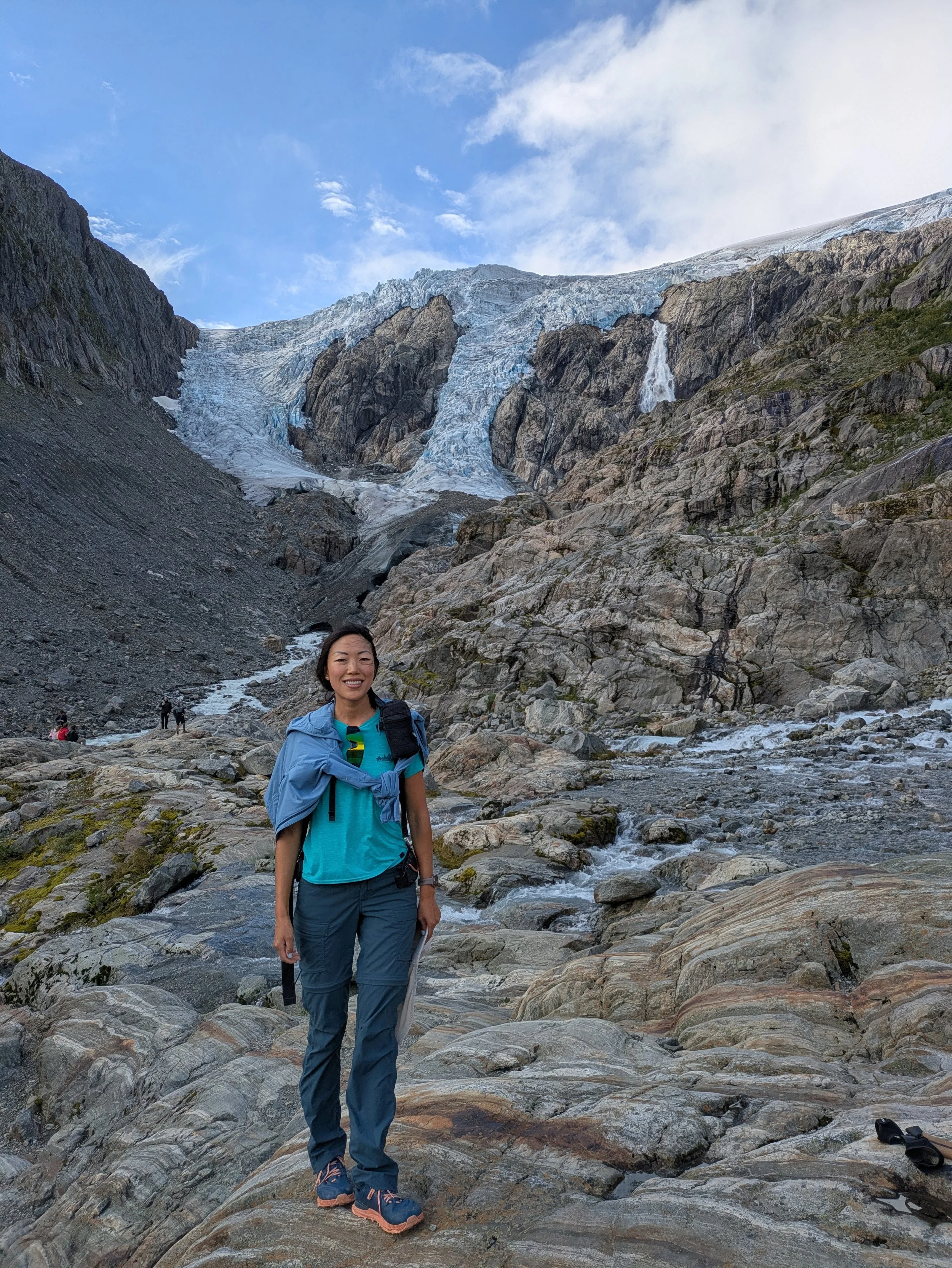
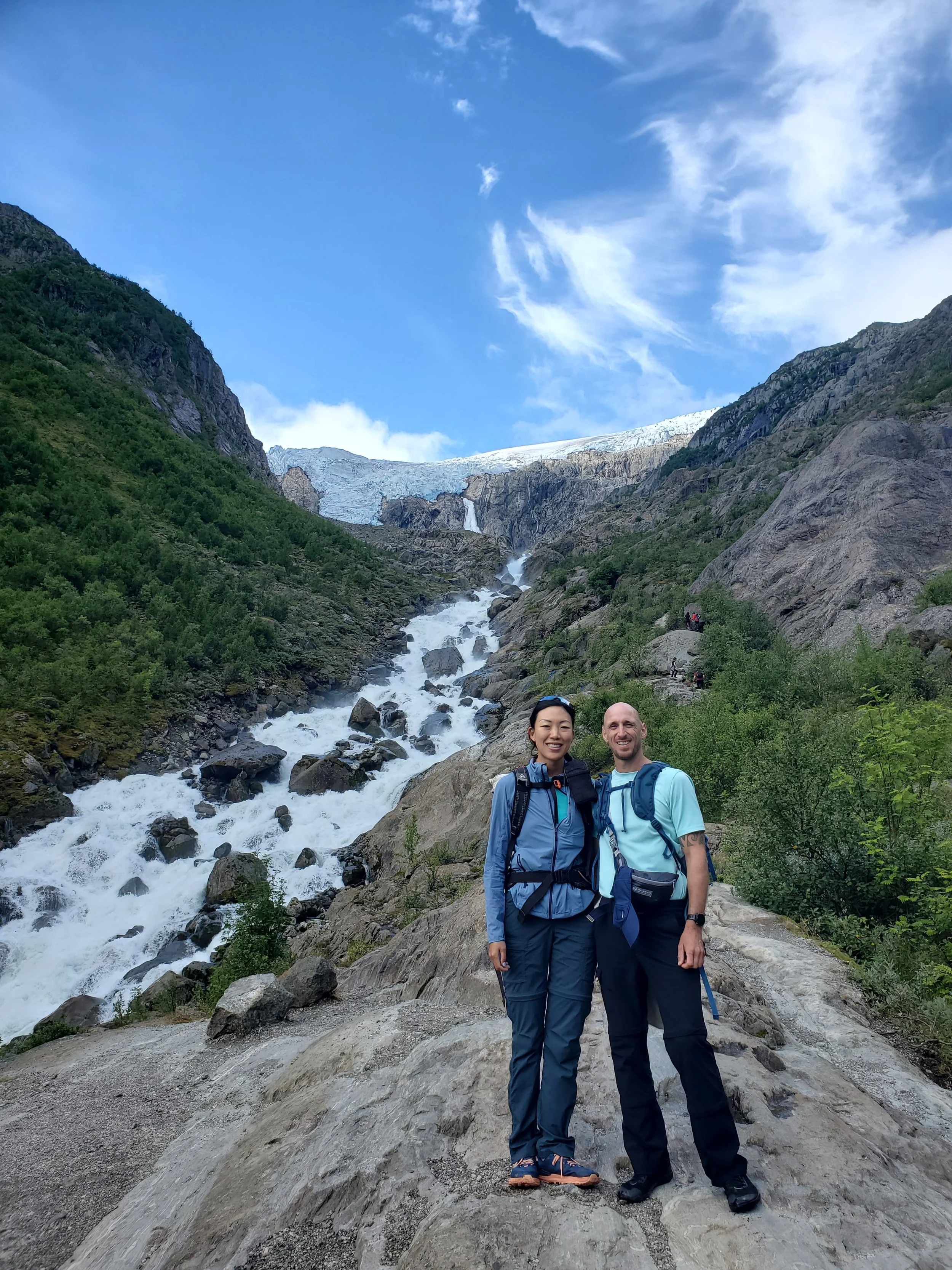
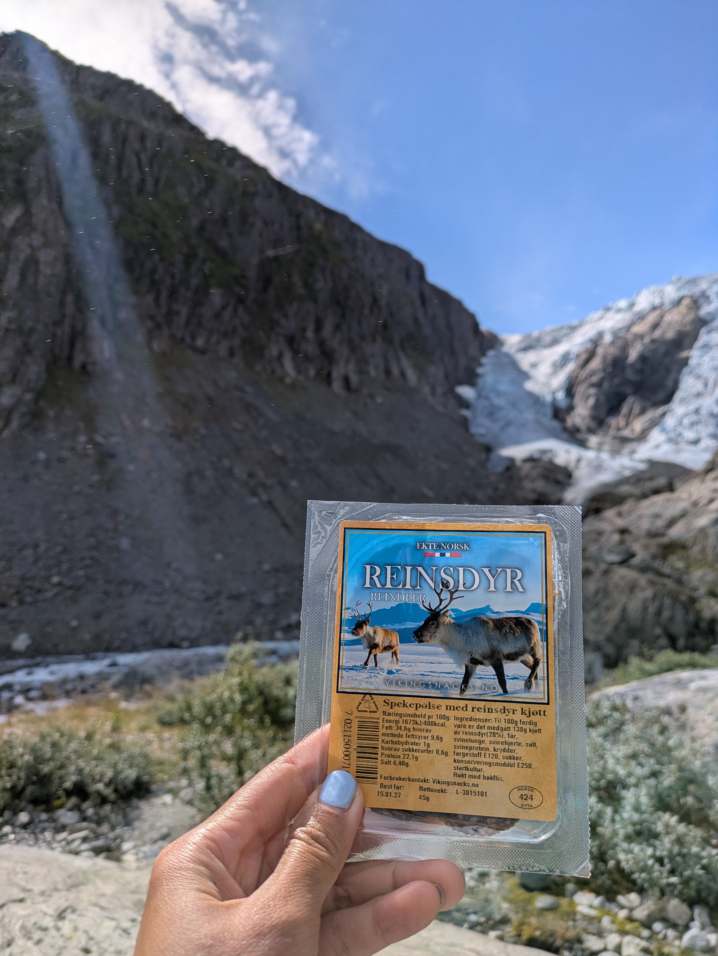
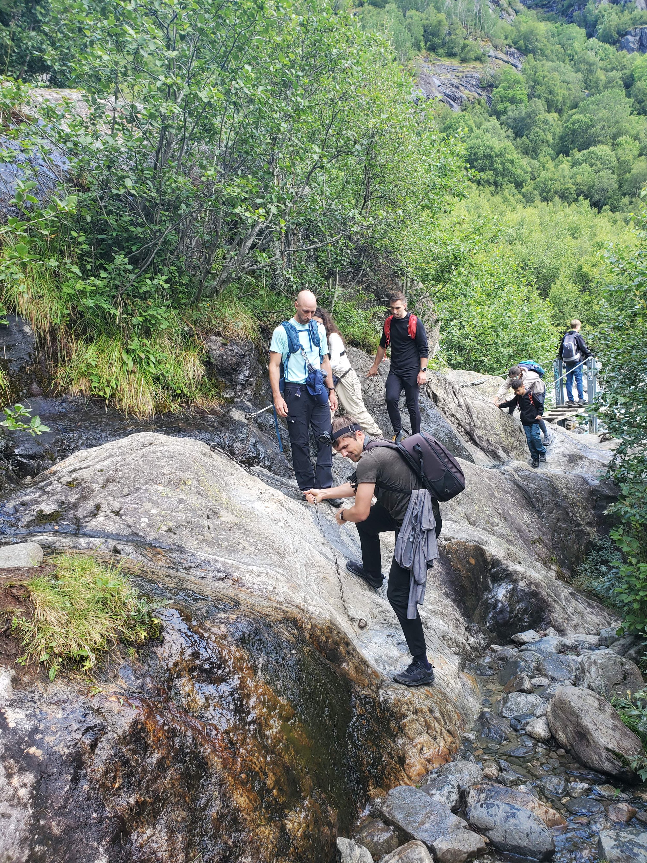
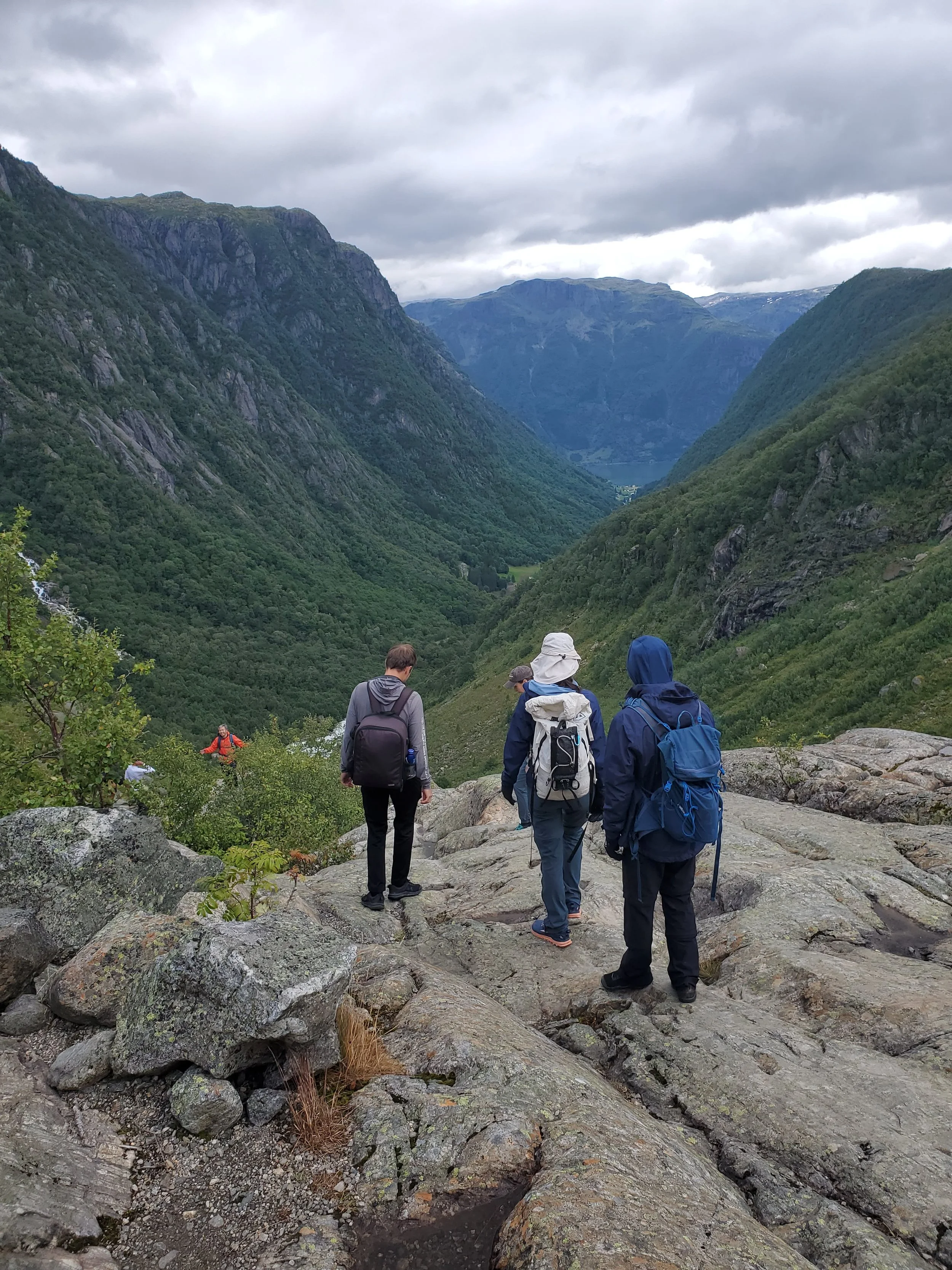
Located just outside Odda, Buerbreen is a glacier. The trail up to the glacier’s edge is one of the most dynamic half-day hikes in the Hardanger region, known for its hands-on terrain and up-close views of blue ice and roaring glacial runoff.
Quick Stats
Distance: ~5.5 km (3.4 miles) round trip
Elevation Gain: ~410 meters (1,345 feet)
Duration: 3 to 4 hours round trip
Difficulty: Moderate to Challenging (technical terrain with scrambling)
Trailhead: Buer Farm parking area (~10-minute drive south of Odda town center). Small parking lot.
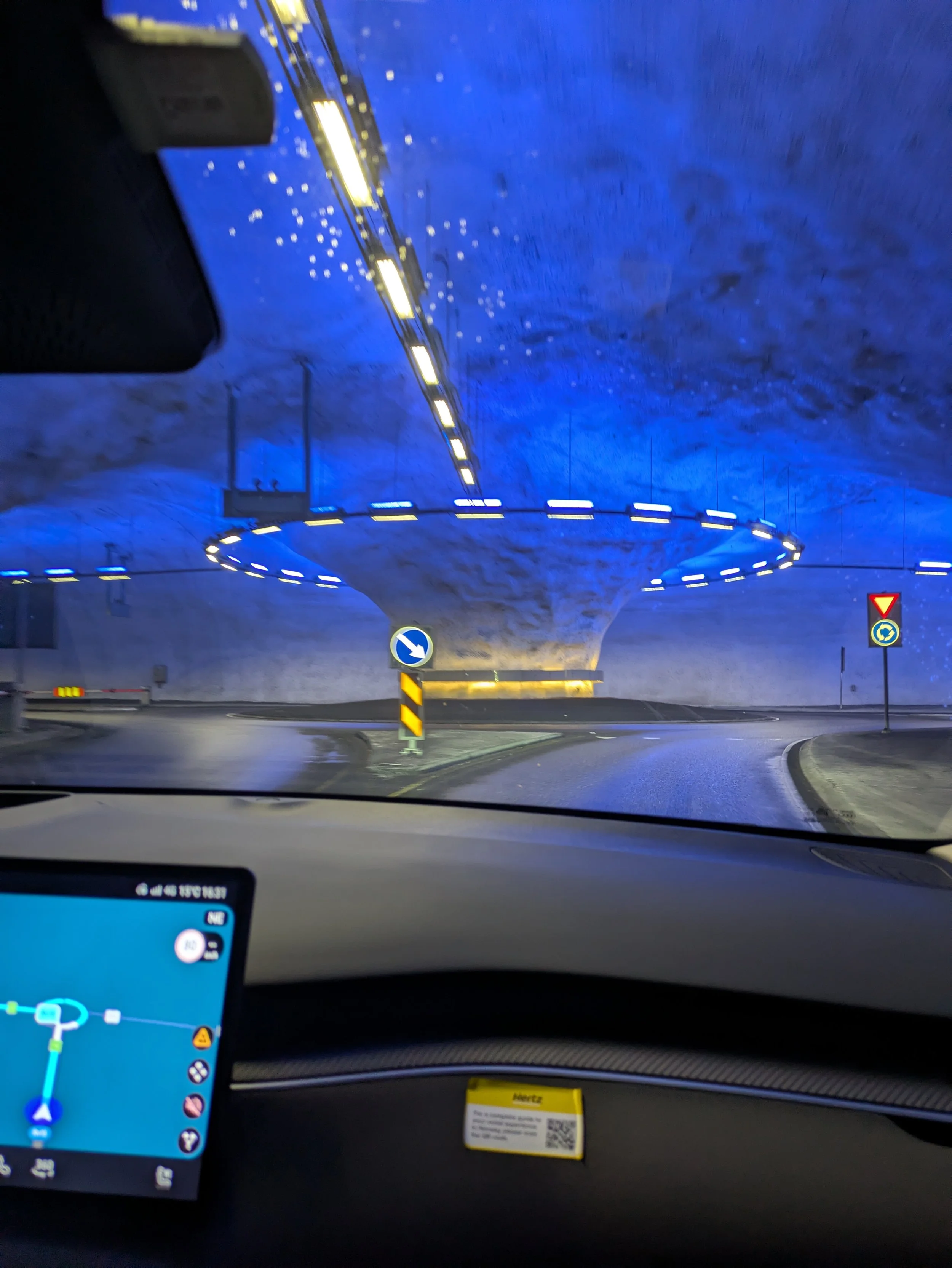
After wrapping up the hike, we hit the road toward Voss—a cozy, outdoor-centric town outside Stavanger. The drive itself was a highlight, navigating wild underground tunnel networks complete with full roundabouts carved deep into the rock.
We checked into our hostel, feeling grateful for a travel crew where sharing a room is easy and everyone's rhythms align. After dinner, we took a stroll down to the lake right outside our front door, played a few rounds of ping pong, and wrapped up the night over a competitive game of Struggle for Catan (which only nearly tested our friendships). It was the perfect, low-key end to an active day.
Day 8: Kayaking the Fjords
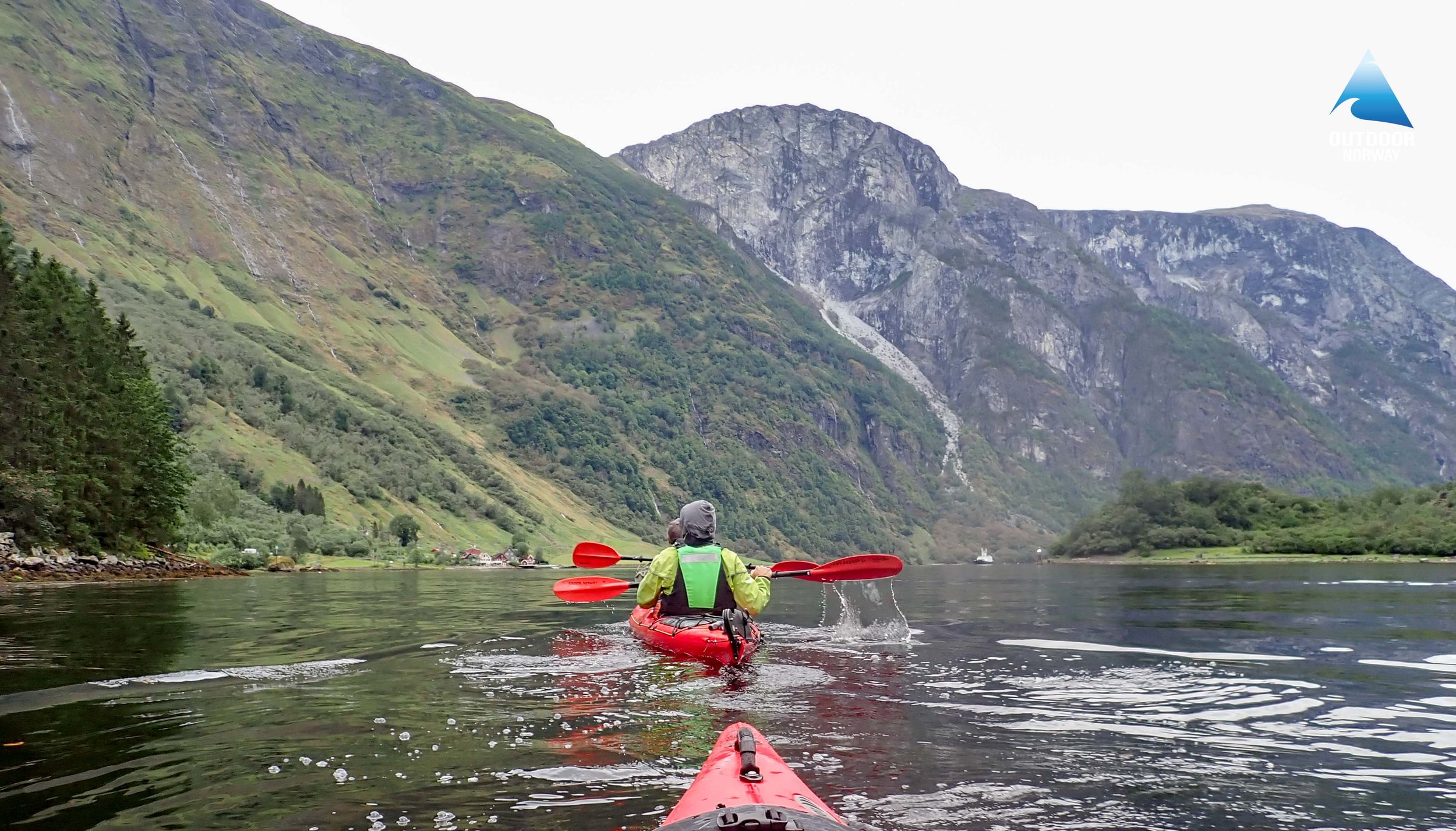
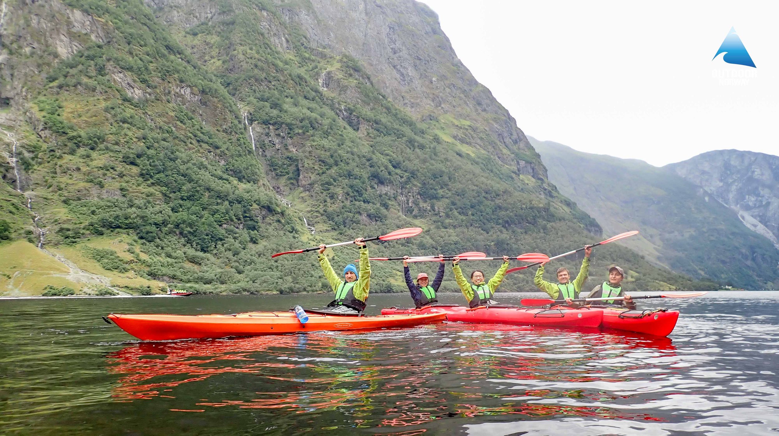
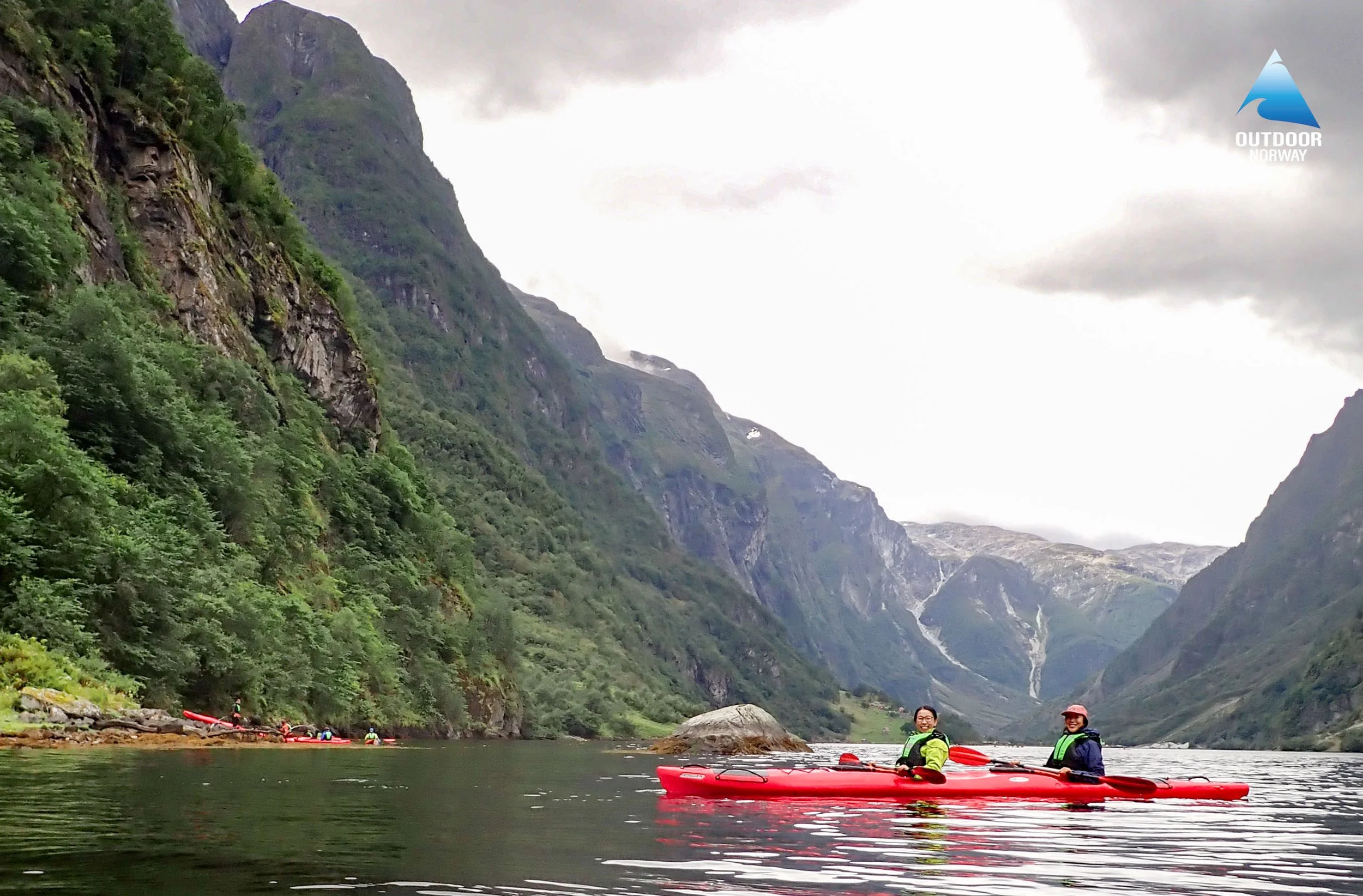
Today’s itinerary was Iryna’s suggestion: kayaking the fjords. While getting out on the water wouldn't normally have been my top pick for the day, I’m so glad she pitched it. Paddling through a fjord really puts their geology into perspective—these massive, U-shaped valleys carved out by Ice Age glaciers and flooded by the sea, leaving sheer rock walls towering above you.
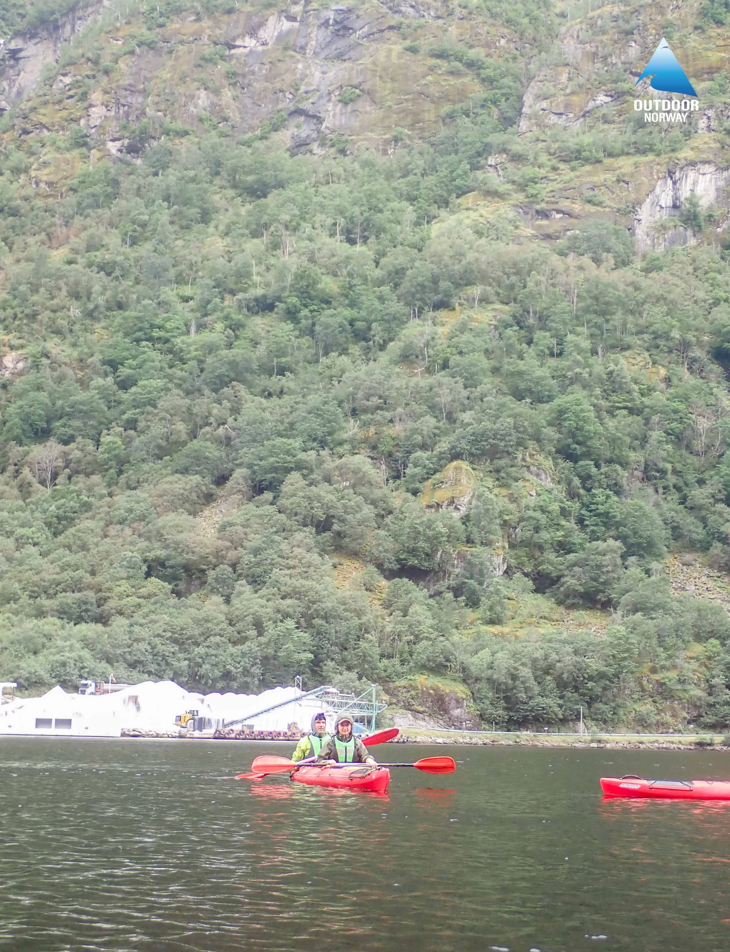
We met up with our guide in Voss and took a shuttle out to Gudvangen to gear up. After stepping into spray skirts and cinching up PFDs, Linda and I squeezed into a double sea kayak. The water was glass-calm, save for the gentle wake of an occasional passing powerboat. We did spot another two people capsize mid-fjord—a stark reminder of how bitterly cold the glacial runoff is, and reason enough to keep our balance intact!
Our running joke of the day was our trajectory: no matter how synchronized we tried to be, Linda and I kept zigzagging down the fjord without a clue why. We paddled out to the tiny village of Bakka for a quiet lunch break on the rocky shoreline before heading back. In the end, it was an incredibly peaceful way to experience the fjords from water level.
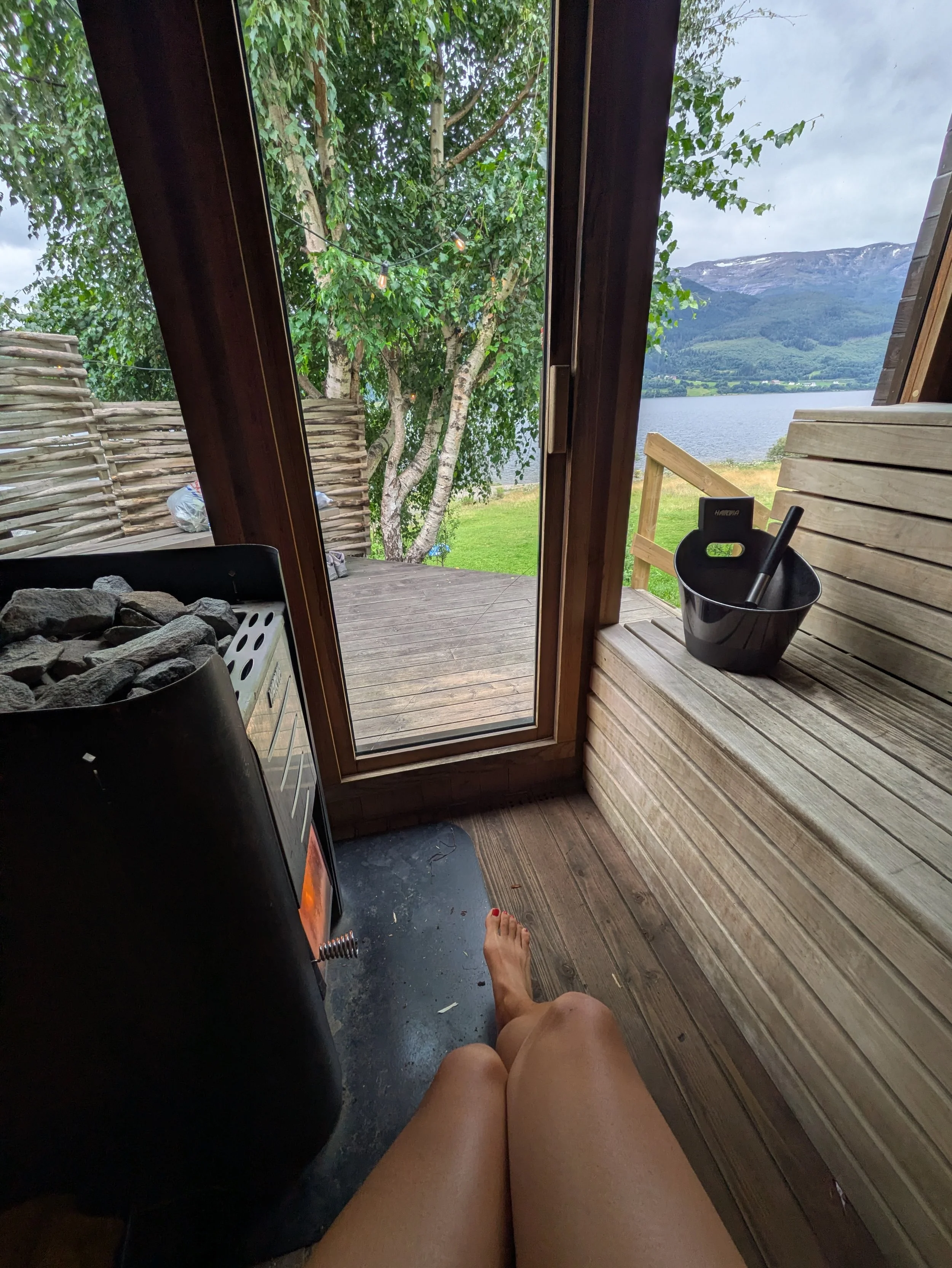
After kayaking, we wandered into Voss for some light browsing before heading over to the hostel’s drop-in sauna. One hour turned out to be absolute perfection. We settled into a rhythm: 15 minutes of deep, penetrating heat, a shock-to-the-system plunge into the freezing lake, and straight back into the warmth. Even though I use the sauna regularly at my gym back in the UK, experiencing it here in Norway feels less like a routine and more like a way of life—the health benefits, integrating in the nature, and a relaxing way to end the fulfilling week.
Refreshed and showered, we hit the road for Bergen. A road accident along the way brought traffic to a complete standstill, stranding us for over an hour and pushing our arrival well into the evening. By the time we finally pulled into Stavanger, we grabbed a quick late-night dinner and collapsed into bed at midnight. A long, beautiful, fully packed day.
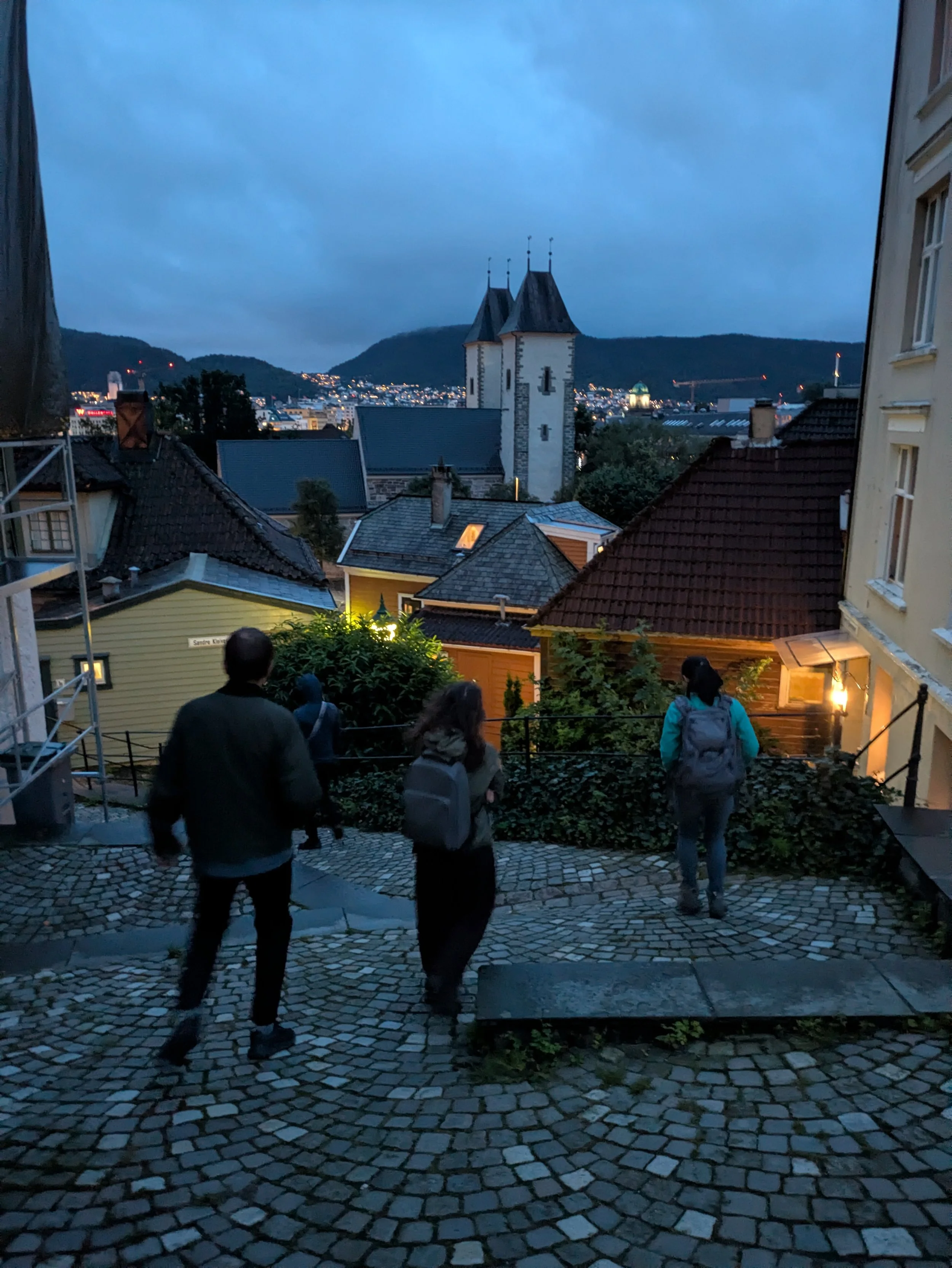
Day 9: Departure from Bergen
We set our alarms for dawn, splitting up as some caught an Uber to the airport and others handled the rental car return. Navigating Norway in an electric vehicle was remarkably easy—supermarkets had app-accessible charging points, and our accommodations offered straightforward flat-rate or per-kWh charging.
The time went by far too quickly. While the weather kept us on our toes with chilly shifts, the rain was gentle enough never to ruin a day out. Traversing the western fjords with a group that matches my travel pacing is rare, and I'm deeply thankful for how seamlessly we managed a dense schedule in close quarters.
Reflecting on the route, every day felt well-spent. We covered the key highlights and experienced everything I had hoped to see on this side of the country. Between the warm locals, demanding trails, and courteous drivers, Norway leaves a quiet, lasting imprint. Until next time.