Volcán Tajumulco
Volcán Tajumulco is a massive, dormant stratovolcano located in southwestern Guatemala, near the Mexican border. Standing at an impressive 4,220 meters (13,845 feet), it holds the title of the highest peak in Guatemala and all of Central America.
The Chaos and the Climb: What It Takes to Summit Central America's Highest Peak
How much effort are you willing to put into doing just one thing?
On the journey to climb Volcán Tajumulco, the highest peak in Guatemala and all of Central America, I asked myself that question at least ten times. With an endless string of logistical hurdles thrown our way, there were moments where I genuinely wondered: is this really worth it?
As it turns out, the adventure didn't start on the trail. It started the moment we tried to get there.
The Roadblocks (The Minus Column)
1. The Rental Car Mix-up
In most places, you can walk up and rent a car. Not here. Unexpectedly, we found out you need to reserve at least 24 hours in advance.
The Silver Lining: We were forced to stay and spend an extra, beautiful day exploring Antigua. Not a terrible place to be stuck!
2. Nationwide Protests
The night before we were set to leave Lake Atitlán, our hotel host asked if he could speak with us privately. He dropped a bombshell: massive, nationwide protests against the Guatemalan president were scheduled for the next day. The strikers planned to completely blockade the highways from 7:00 AM to 5:00 PM. We frantically texted a friend we’d just met for dinner, and she confirmed the news. It was true. Our only choice? Wait it out and start the long drive west at 4:30 PM.
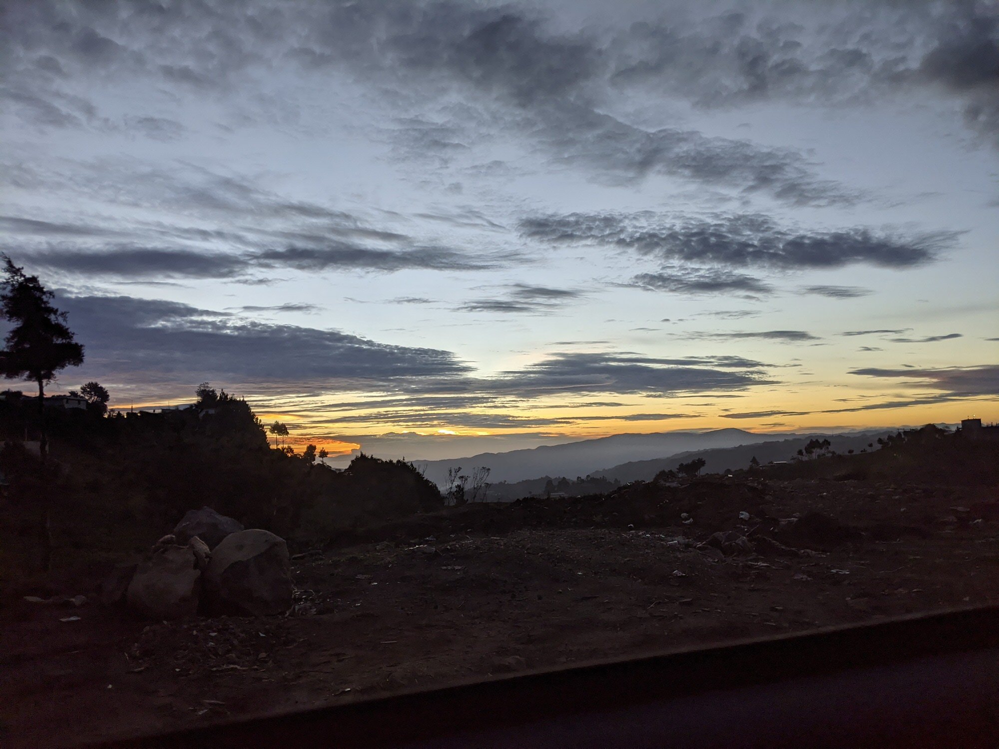
3. Driving "Mario Kart" in the Dark
Driving across Guatemala at night felt exactly like a high-stakes game of Mario Kart. We spent hours dodging massive trucks, swerving around colorful chicken buses, and navigating an endless obstacle course of deep potholes, stray dogs, and aggressive speed bumps.
At one point, we passed through a city entirely plunged into darkness by a power outage, followed by a surreal stretch of highway lined with neon-lit auto "love" hotels. To add to the tension, a local CouchSurfer had warned us that we needed a guide just to shelter us from potential bandits on the mountain. We had checked with tour agencies, but because Tajumulco isn't a heavily commercialized tourist peak, finding a guide on short notice was nearly impossible. The drive felt never-ending.
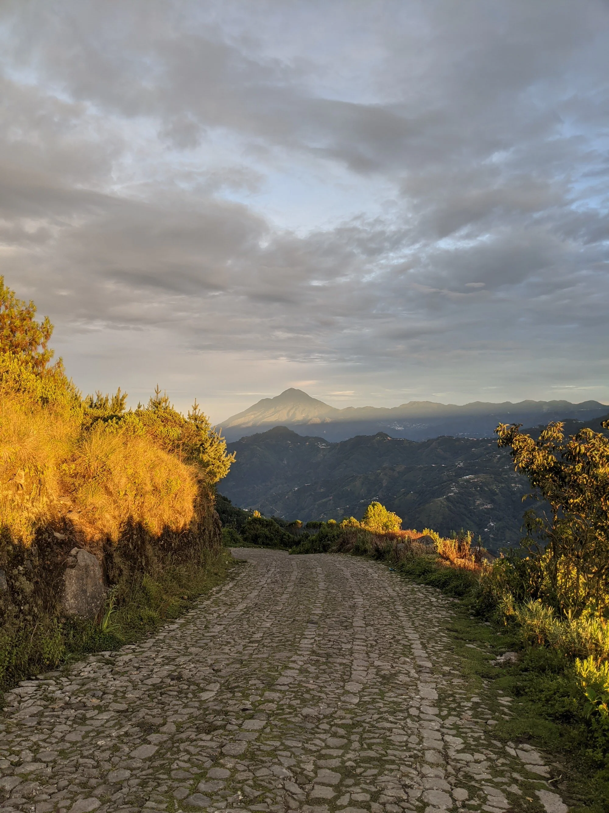
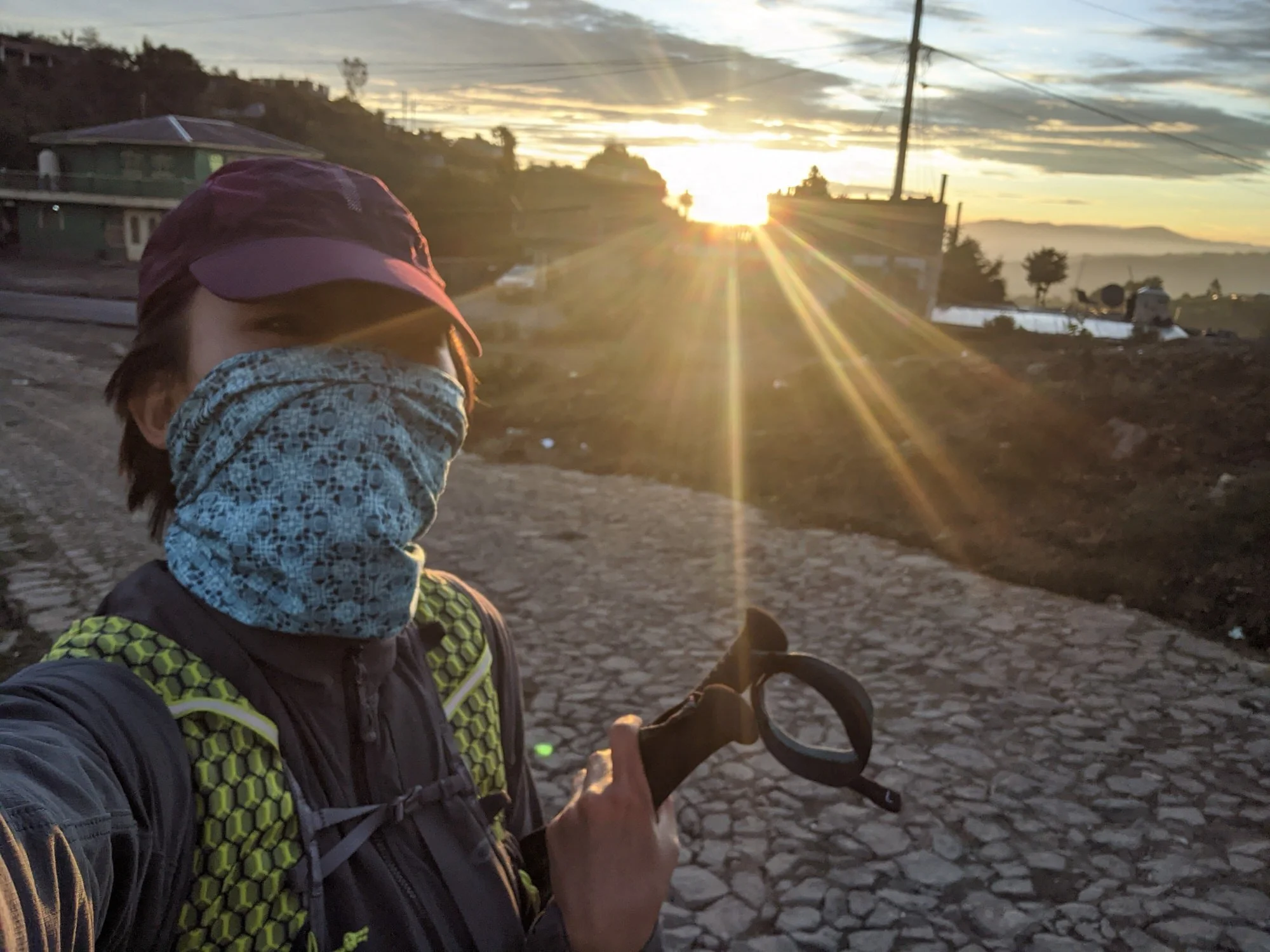
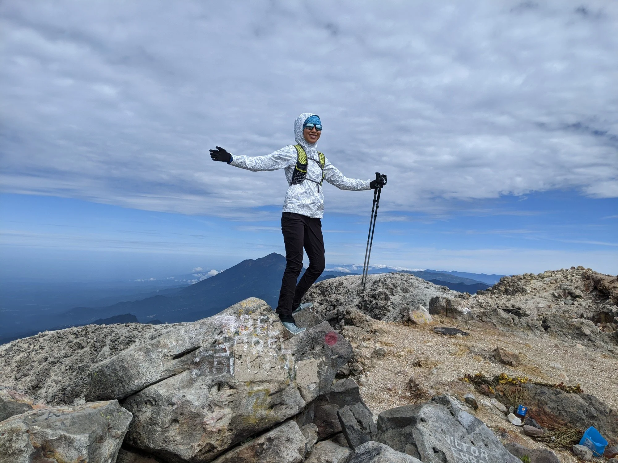
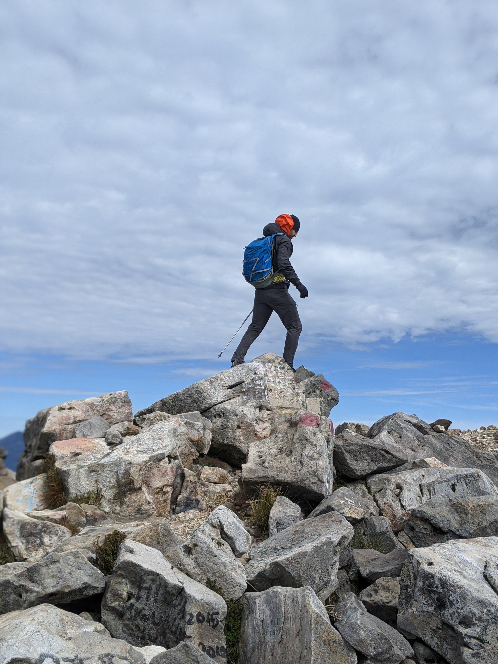
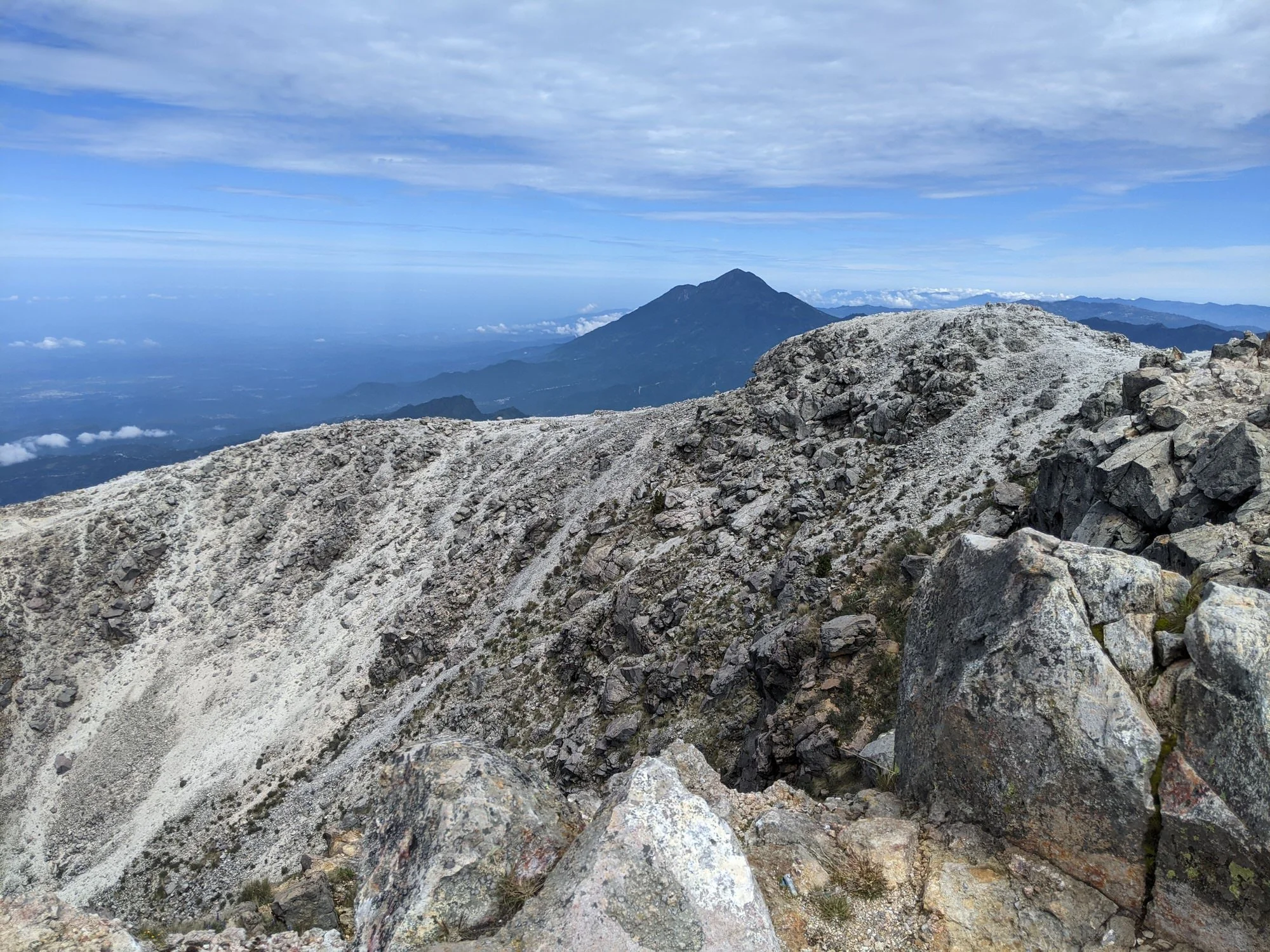
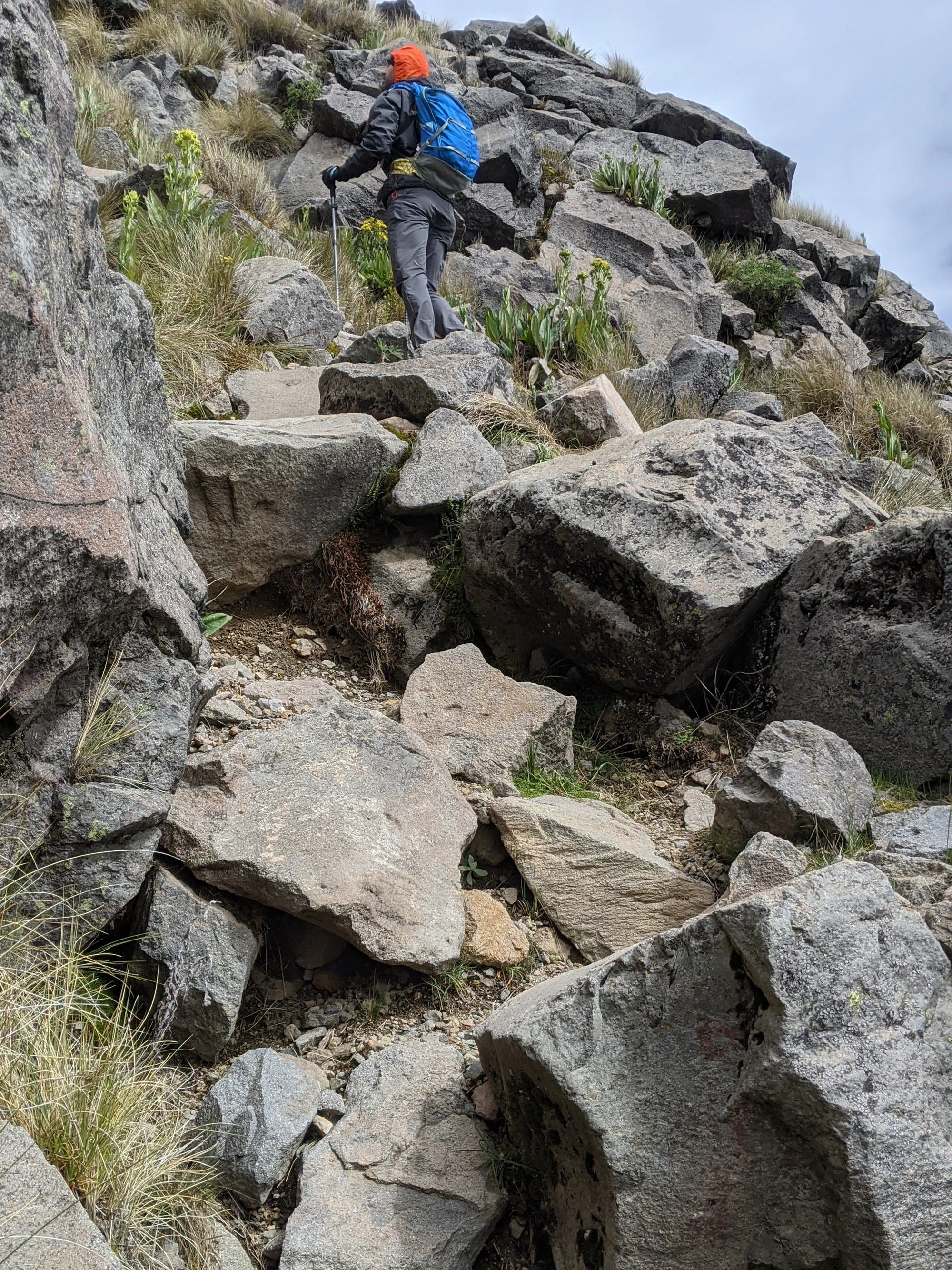
The Hike
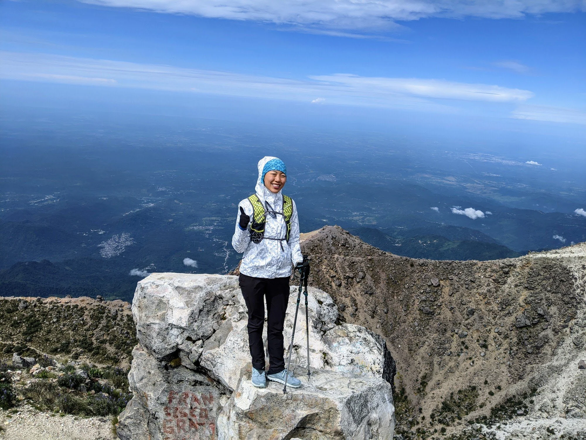
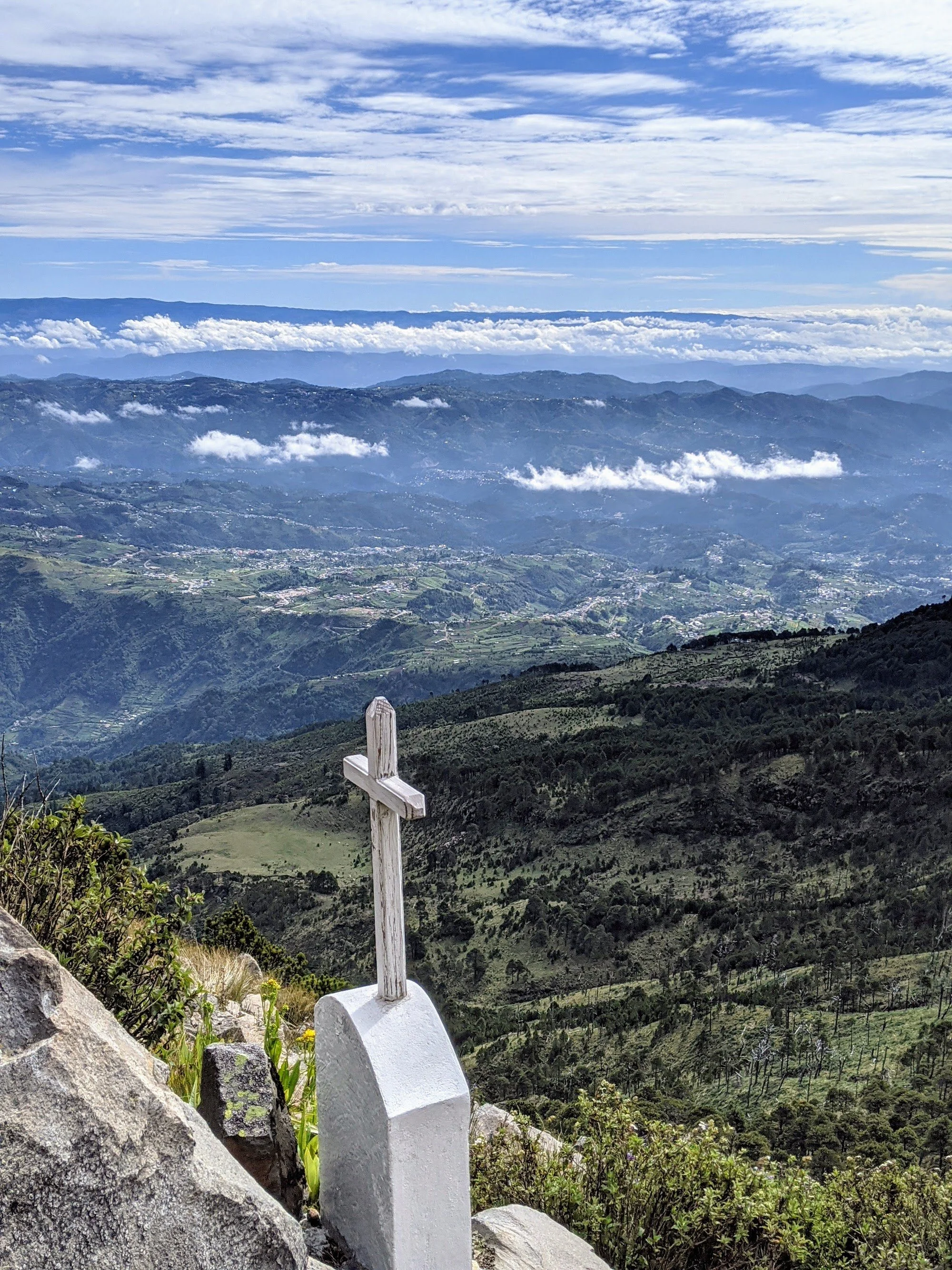
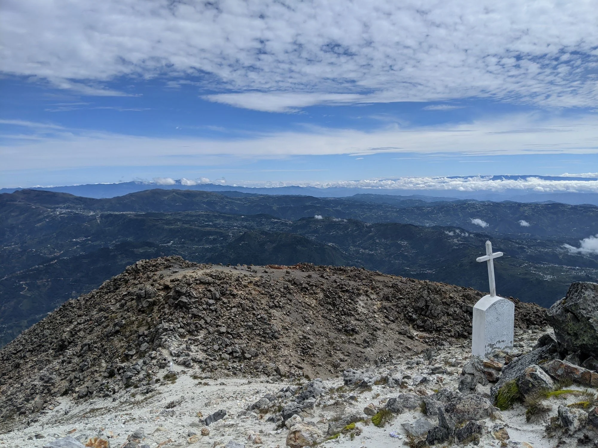
Unlike the chaotic drive, the trail itself was a dream. The terrain was beautiful, the footing was stable, and the path was clearly marked with painted stones. We started from the AllTrails trailhead at 6:00 AM sharp, made it to the top by 9:30 AM (including a long, leisurely break), and were back down by 12:30 PM.
Total Distance: 8.55 miles
Elevation Gain: 4,300 feet
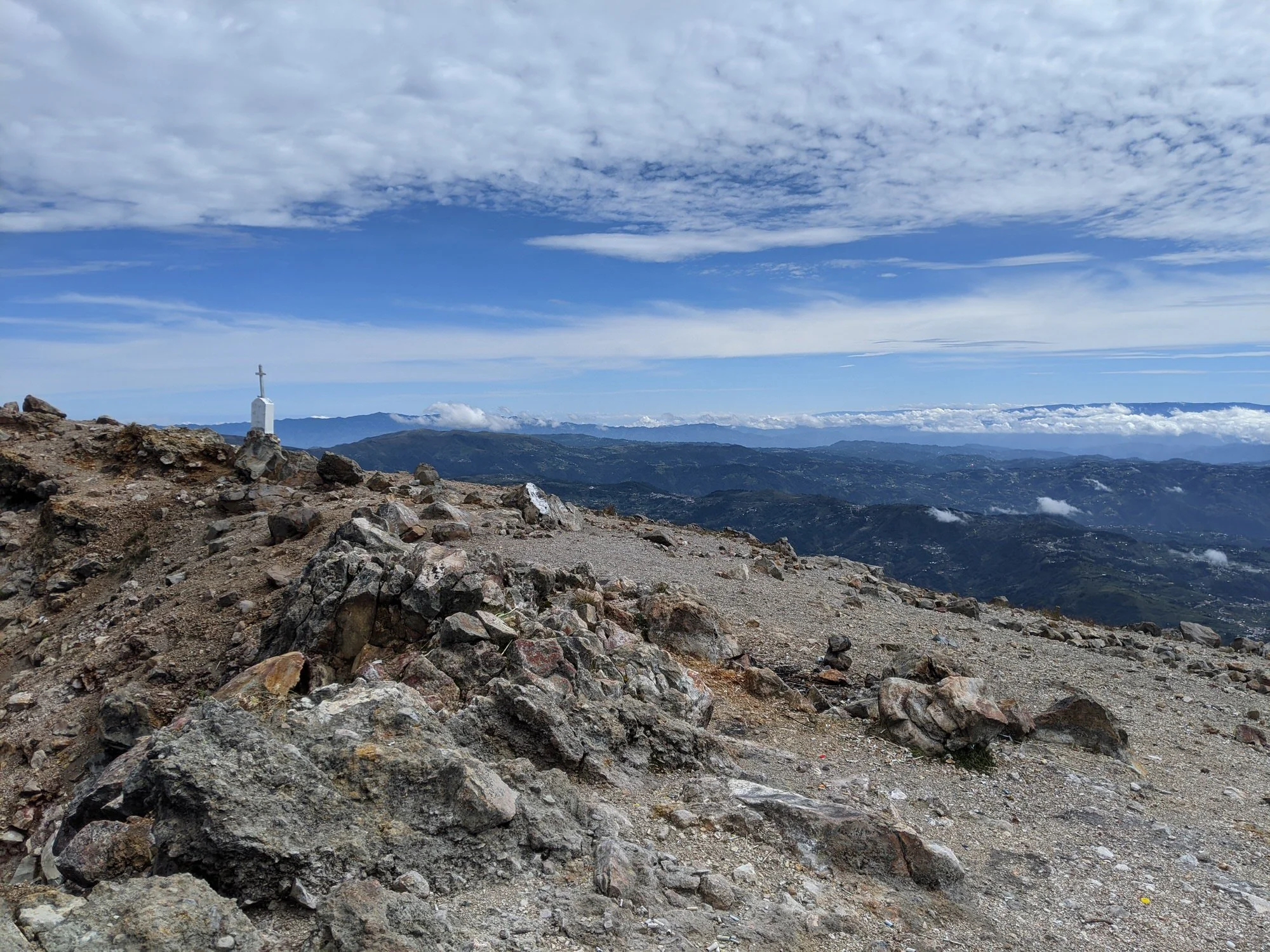
Summit Elevation: 13,906 feet (4,220 meters)